Tag: nature

  • The Columbia River Gorge and Mount Rainier National Park: A Great Pacific Northwest Smoke Out

    The Columbia River Gorge and Mount Rainier National Park: A Great Pacific Northwest Smoke Out

    Wasimof Nazareth Mount Rainier National Park Washington

    The last couple of weeks are exactly why I now find myself living in the Pacific Northwest.

    Sort of.

    So it’s no secret that this region of the country has some of the most incredibly beautiful and inspiring fodder for landscape and nature lovers and overall wanderlusters.

    If anything, the region is known for its copious amounts of water and incredibly liberal natural display of every shade of green known to man.

    It’s what I moved up here to explore and embed with.

    Between the forests, the waterfalls, the rivers, the coastlines, the almost-religious focus on sustainability and conservation and nature-worship, and perhaps the world’s most concentrated populations of tree-huggers on the planet (myself proudly and unapologetically included), it’s enough to occupy infinite lifetimes of discovery.

    What we didn’t see coming (well actually we did) was the supercharged effects of climate change, not surprisingly, affecting some of the most heavily forested areas in the country.

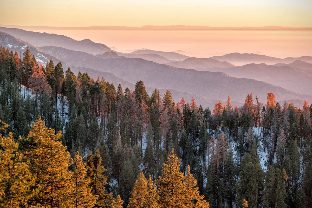
    From Portland all the way up to Seattle, the Pacific Northwest has been covered in a thick layer of smoke and haze from the wild megafires flanking us in every direction from California up to Canada.
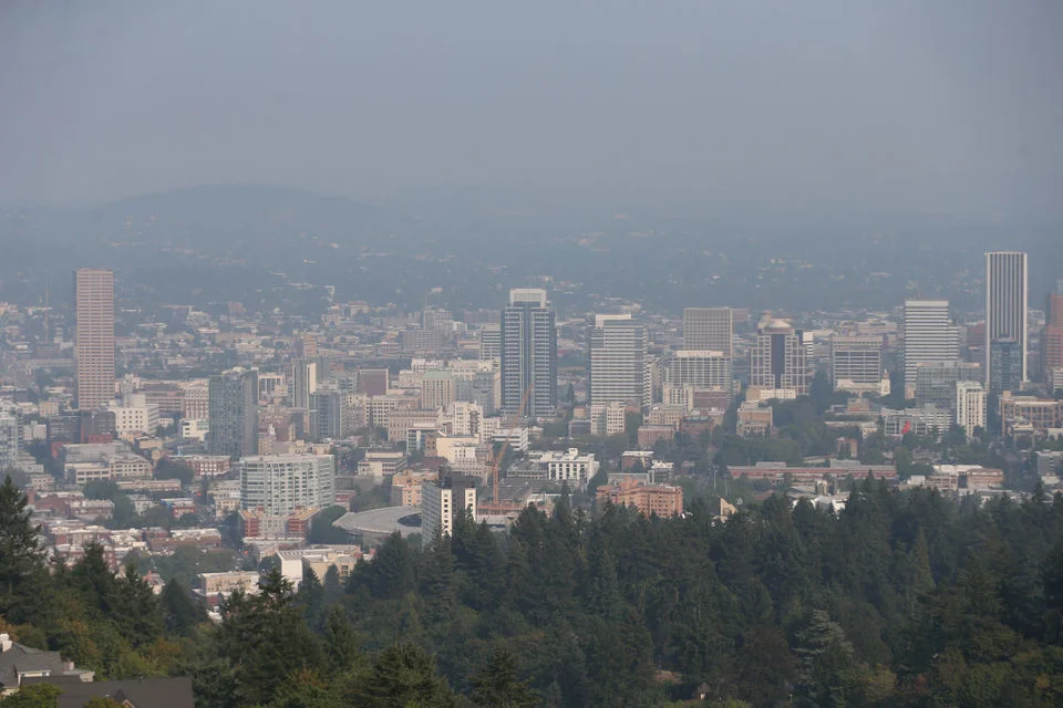
     Image by  Mark Graves for The Oregonian
    Image by Mark Graves for The Oregonian

    It’s just marinating over the city like a modern-dust bowl, and oftentimes visibility is no further than the building across the street. In fact, over the past 2 weeks, this has been a recurring news-story:

    “Air quality in Portland ranks fourth-worst among major cities worldwide according to a data visualization tool that tracks air quality.” –KGW

    Think about that for a second…that’s worse than Beijing. And that has been the increasing trend for the past half-decade.

    And this has now gone on for exactly one month.

    Furthermore, we’ve seen more over-90 degree days this summer than not, which is NOT typical for this region. It’s a very disturbing trend that, in speaking to several locals, has increased dramatically over the past several years. Being as how this area is the hub of forestry, I’ve attended (and worked) several symposiums and talks and panels and events centered around this very topic.

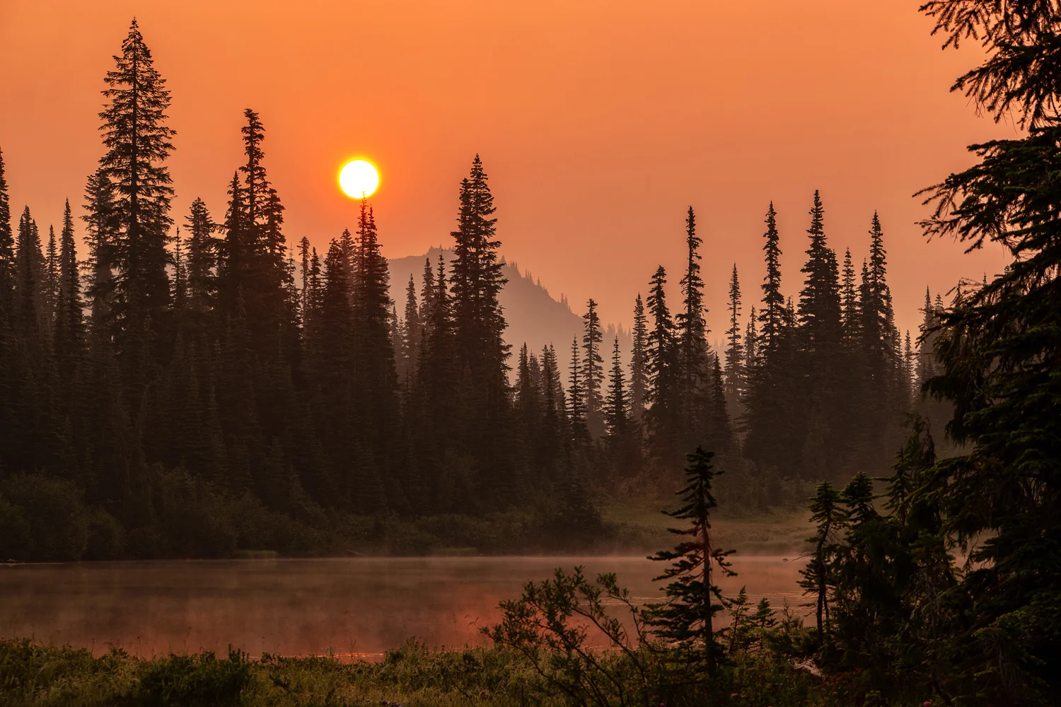
    However, not one to spread doom and gloom, I wasn’t going to let this hamper my exploration of the region, so while Mother Nature was busy taking care of herself, I figured we’d use the incredible light provided by the fire-smoke-diffused sky for photography and sunsets and sunrises that look like sunsets and over the past couple of weeks, I’ve been able to put a good dent in my list of ‘things to do’ up here in the Pacific Northwest. First off, a cousin came to town to escape the big city life of Los Angeles, and wanted some ‘nature time.’ We only had 48 hours, so figured we’d make the best of it.

    Wasimof Nazareth Columbia River Gorge Pacific Northwest Hamilton Mountain Poolofthe Winds Beacon Rock State Park Washing

    We started off in Beacon Rock State Park along the Columbia River Gorge Scenic Area, where we hiked by the Pool of the Winds up to the semi-treacherous trek  to the summit of Hamilton Mountain. While it was a fairly decent burner, about 1700 feet elevation over the course of 3 miles, the air quality certainly had a hand in it hurting as much as it did. We did, however, get some pretty incredible views and colors because of it. After that, we made our way through Hood River’s fruit loop and picked up some fresh cherries for the ride back down the mountain through Mount Hood to Portland. 

    Then, just last week, along with a photographer friend Rob Dweck (check out his stuff…seriously…especially his black & whites!!), I made it up to one of the locations that has been on my photographic bucket list for a decade – Mount Rainier National Park.

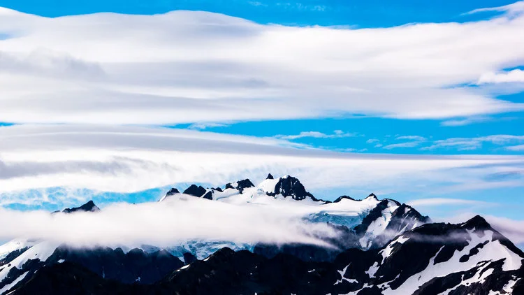
    Typically known for crystal clear summer skies and crisp contrasted majestic mountain – peak, driving into the park, due to the thick haze, we hardly even knew it was there.
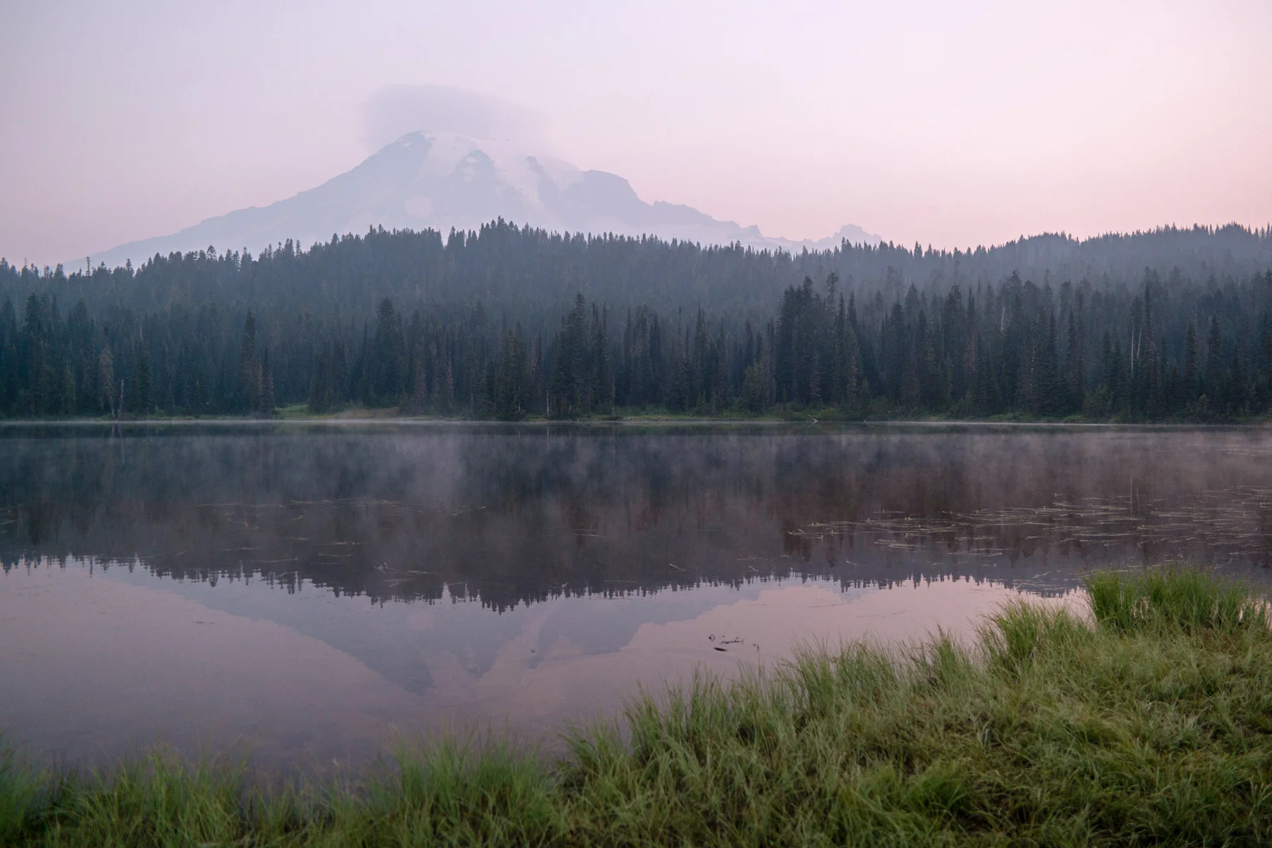
     Legend has it a majestic mountain lies in there somewhere...
    Legend has it a majestic mountain lies in there somewhere…

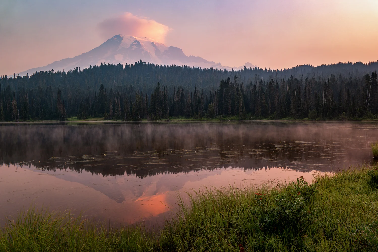
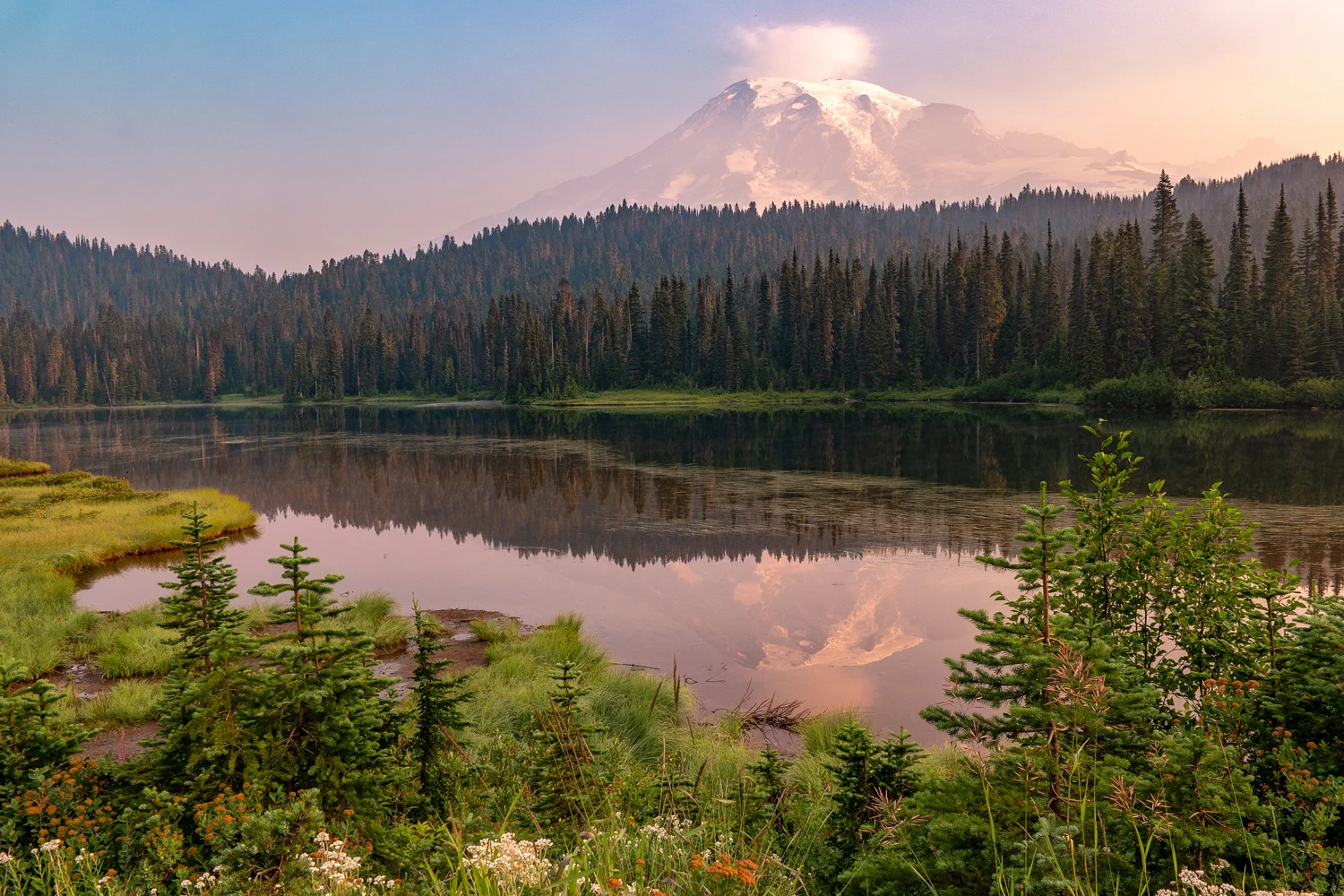
    Even at sunrise the following morning, I had to use a polarizer on my lens just to cut through enough haze to identify that a mountain even existed over Mirror Lakes. It eventually cleared enough for her to show off her grand self, but throughout much of the rest of that day, we were avoiding the grand viewpoints because…well there were none.

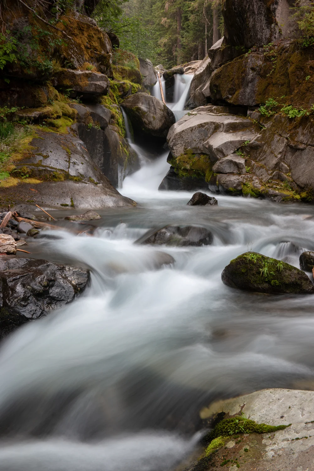
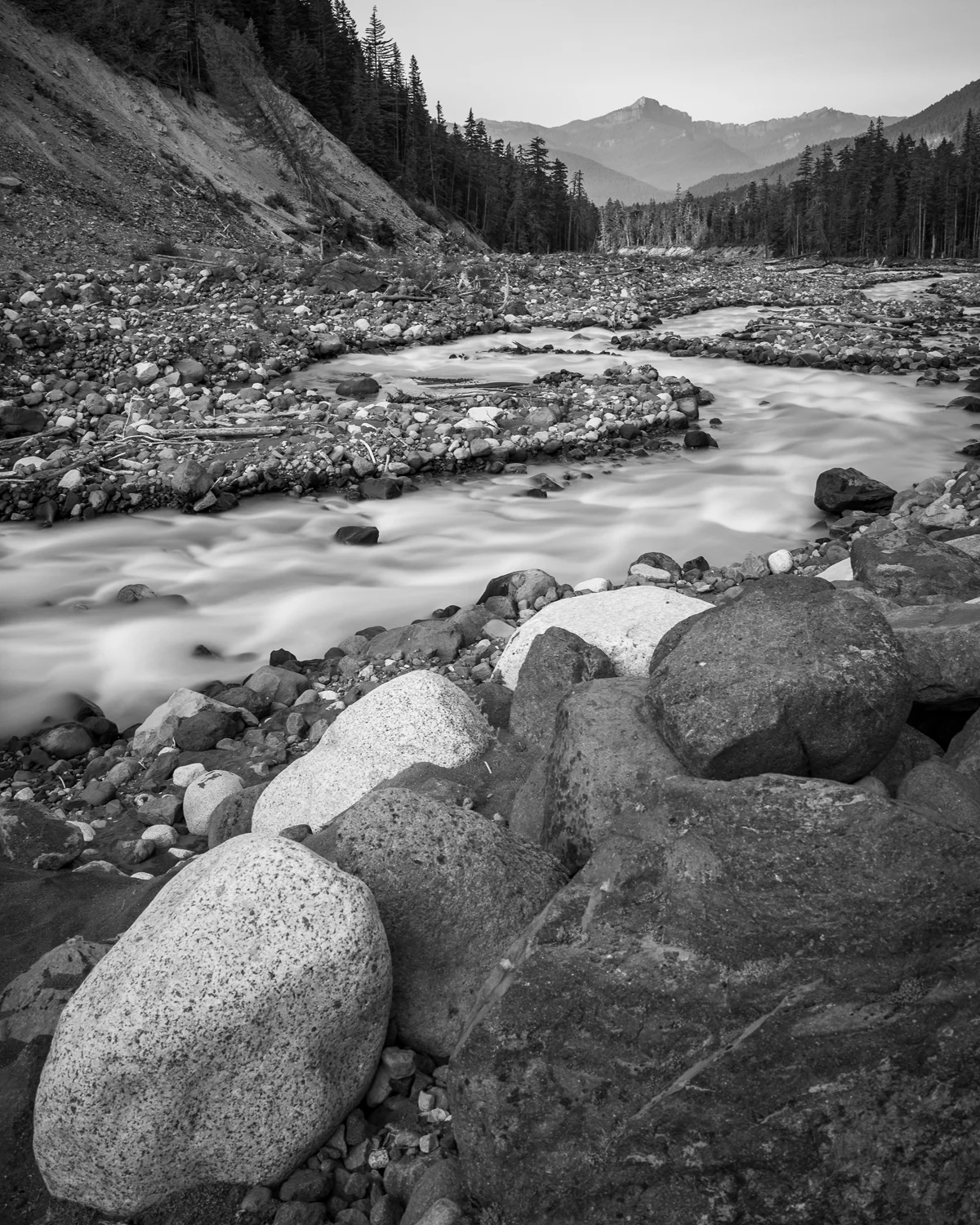
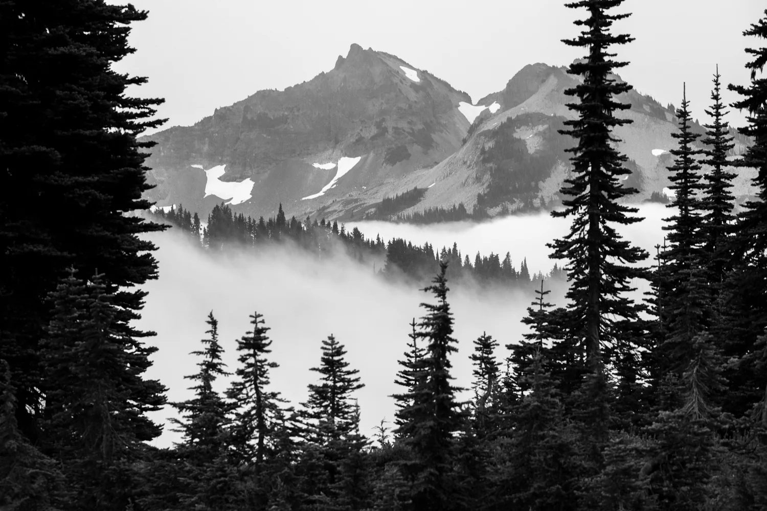
    This did, however allow us to focus on the forests and waterfalls and use the haze to the best of our advantage as we can – contrasty black & white images and landscapes, more focused compositions in heavily forested areas as we hiked down portion of the Nisqually River and up through the forest towards Comet Falls, the park’s largest waterfall.

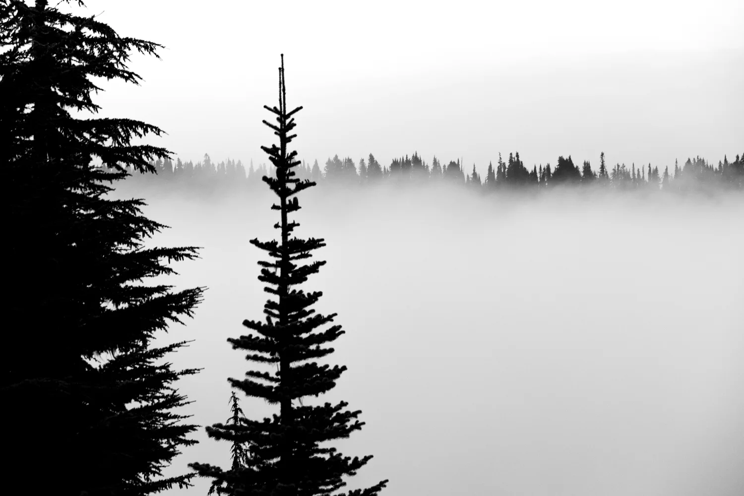
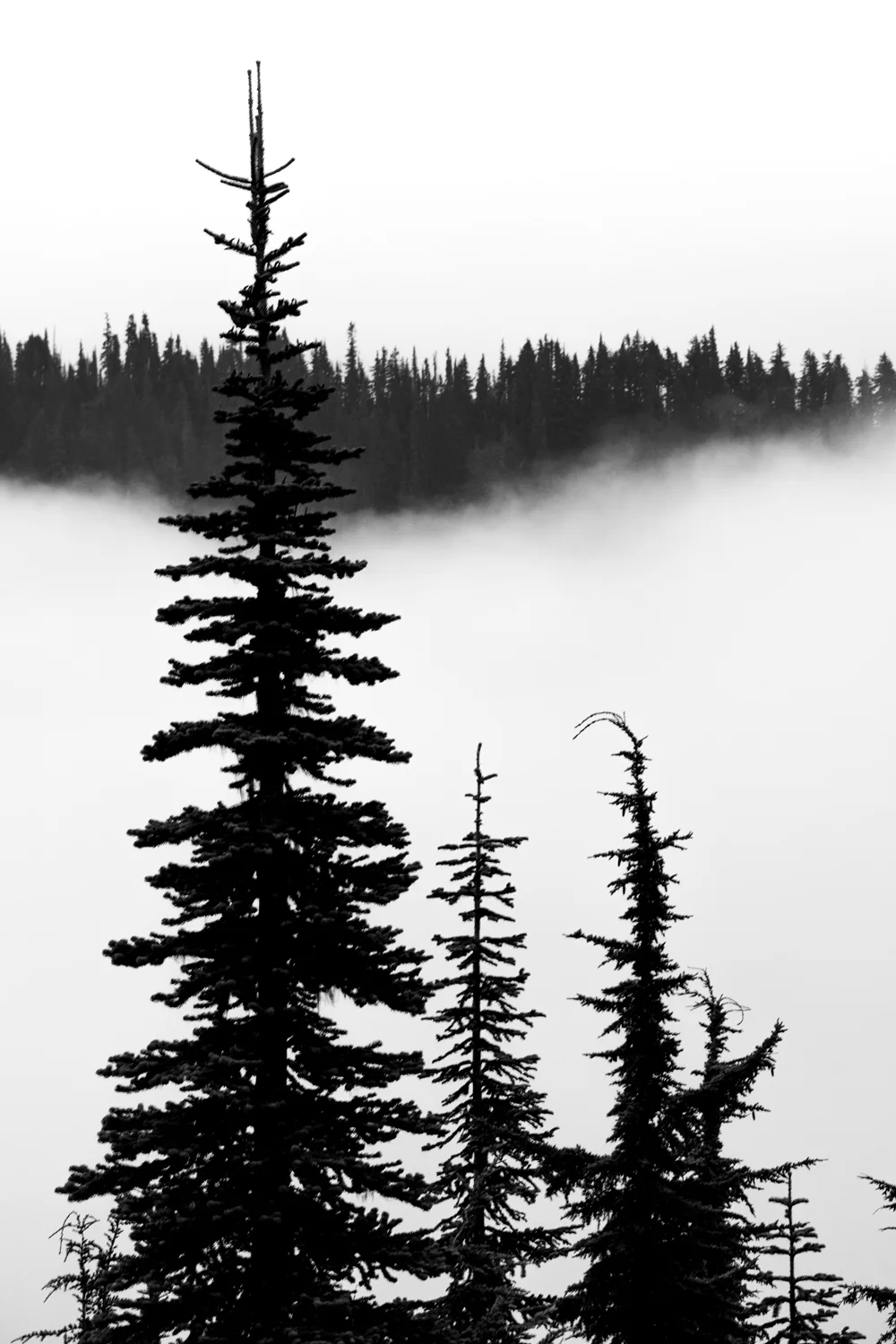
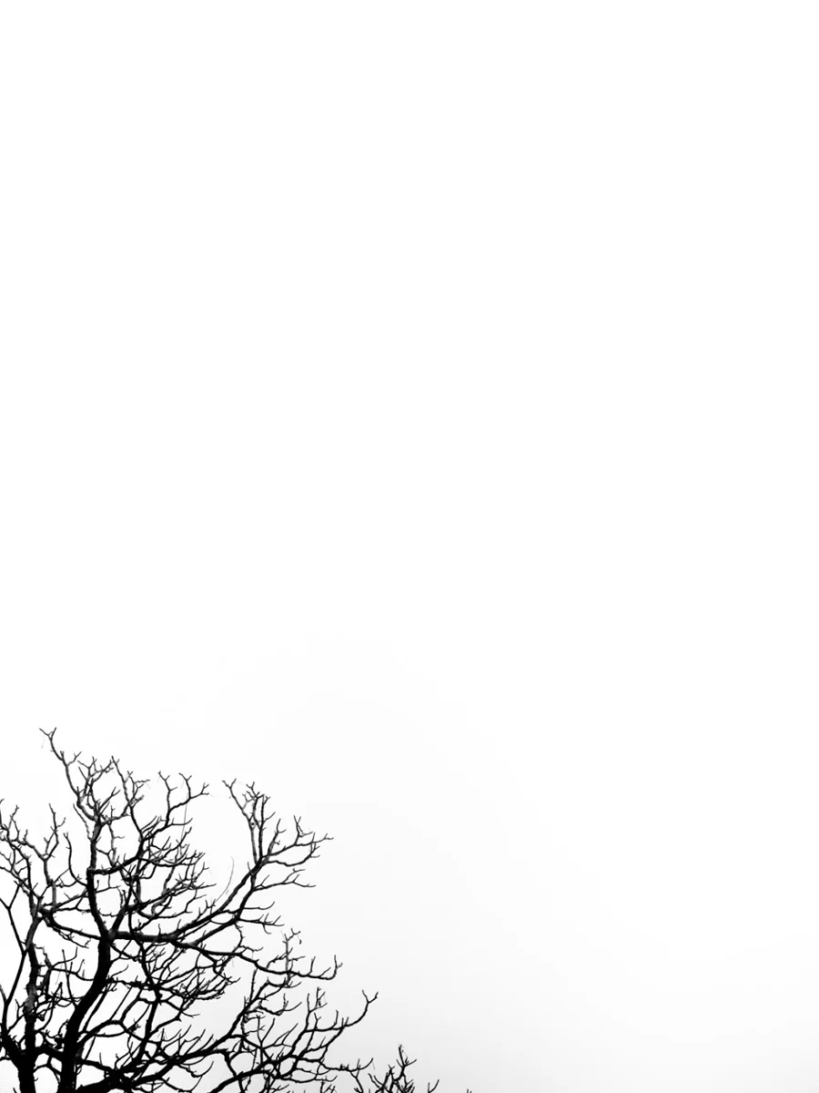
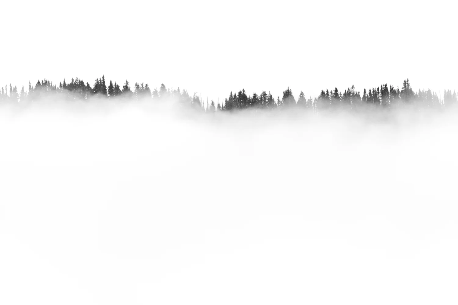
    On our final day, we got somewhat lucky. We arose for sunrise again to try to catch Mount Rainier in all her beauty from Paradise. Unfortunately, the fog, mixed with the haze, covered her up completely and we were unable to get a glimpse. That unfortunately turned quickly to fortunately because due to those very conditions, I did manage to capture what turned out to be my favorite images from the trip. They weren’t the images I imagined I’d capture from Rainier, but I can’t complain at all – with the fog slowly lifting and the tops of the trees ever-so-gingerly monochromatically poking their way through – I feel like they were pretty unique images.
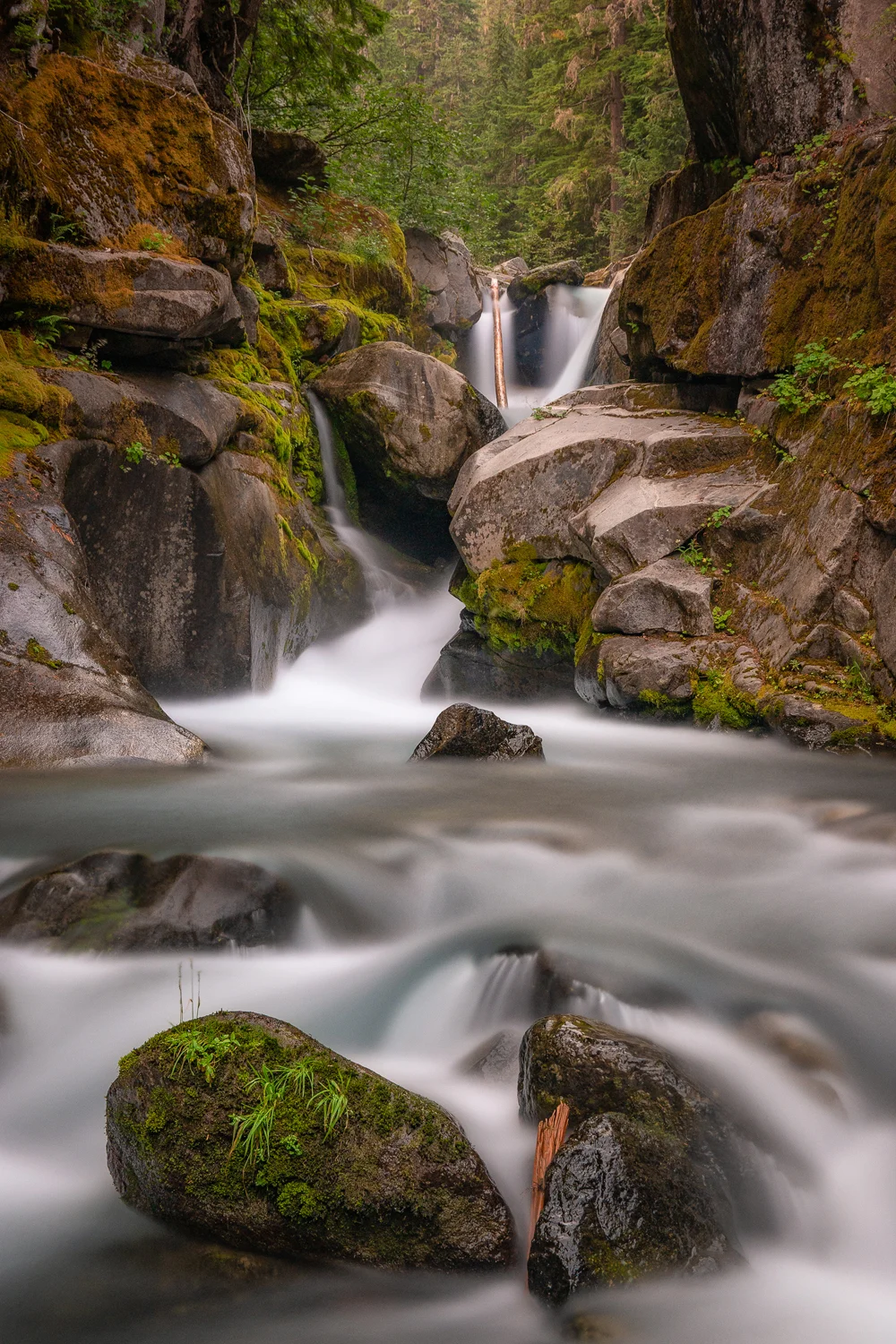
    Wasimof Nazareth Mount Rainier National Park Washington

    And, well, it was fun.

    Finally, on the day we were leaving, the haze lifted enough to show us Rainier in the glory she was meant to be seen in. We figured we’d hike the Sunrise Loop, a 7-mile loop trail that took us through the forests, above the treelines, almost up to the basecamp of where the crazy-folks that climb the whole mountain prepare and acclimate to the elevation before beginning their awe-inducing ascents up to the summit, and back down through the idyllic meadows and streams and wildflowers caused by the glacier runoff back down to the Paradise Lodge.

    Easily one of the most beautiful hikes I’ve ever done.

    And can’t wait to do again.

    Anyhow, below are some images from that trip up to Mount Rainier National Park. Hope you enjoy: 

    And for more of the riff raffs and scabber dabbers:
    instagram: @wasimofnazareth 
    ello: @wasimofnazareth 
    google+: +WasimMuklashy

    Finally, if you enjoy these posts, please feel free to subscribe to my mailing list at top right of this page, and I’ll deliver each post to you as I publish them, and if you support the kind of work I’m doing and the things I’m sharing, please consider ‘subscribing to me’ on Patreon.com. Yup, subscribing to ‘me.’ You can even set the price. Literally, $1 per month if you want. No joke, I’m a poor bastard, so your little helps me a LOT.
  • My Homage To The Mountains That Made Me ‘Me.’ In All Its 360 Video Virtual Reality Glory!

    My Homage To The Mountains That Made Me ‘Me.’ In All Its 360 Video Virtual Reality Glory!

    Pacific Ocean Sunset Santa Monica Mountains California Samsung NX1 1800px

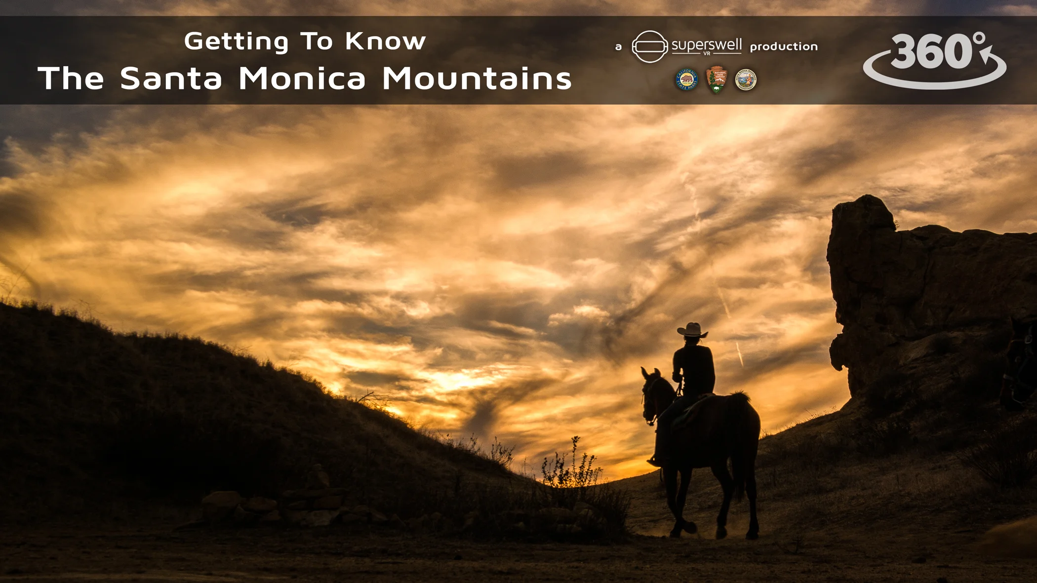
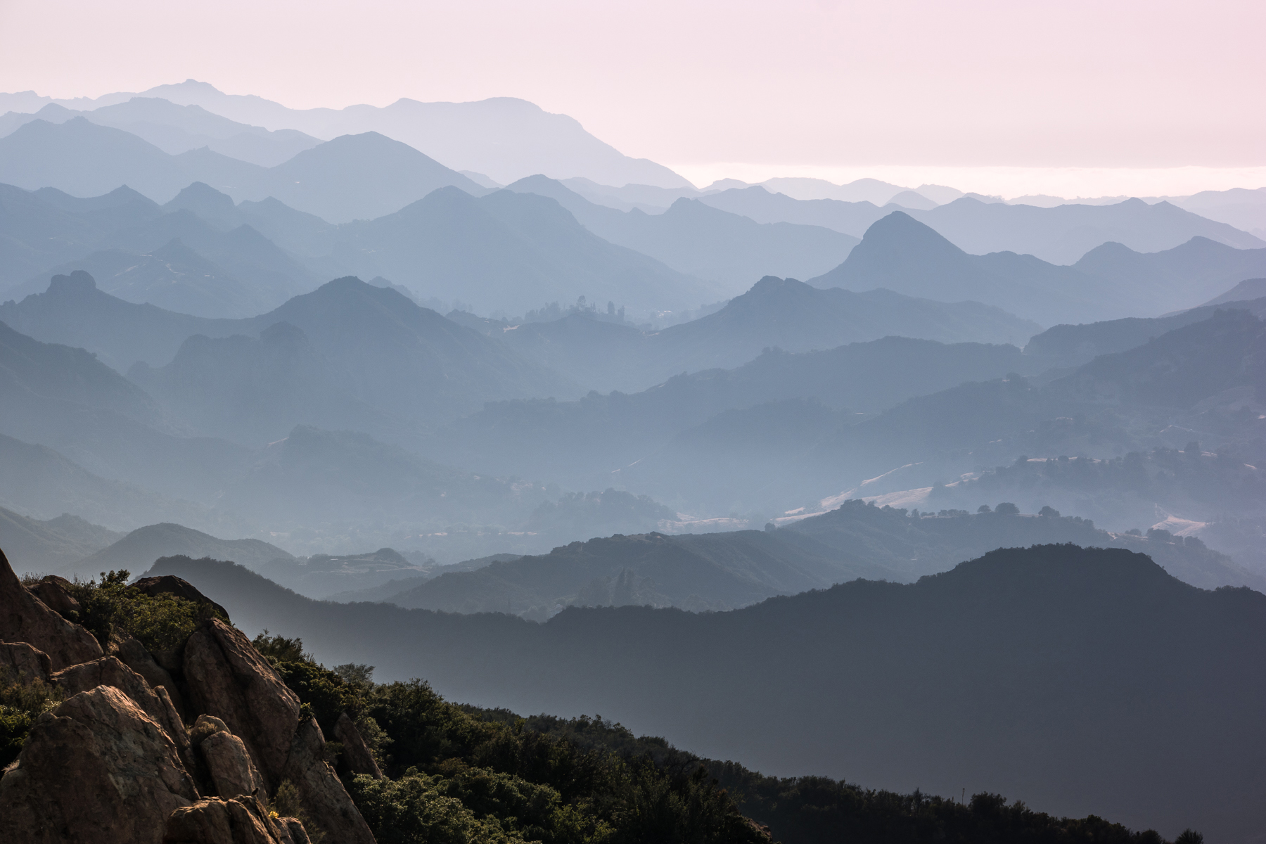
    This one is very very dear to my heart. When I made the choice to move up to the Pacific Northwest a few months ago, I knew that I had to pay homage to the Santa Monica Mountains – the mountains that made me ‘me.’

    So I figured during my final weeks living in the Santa Monica Mountains, I’d take along a 360˚ VR video camera on the remainder of my hikes and excursions and cut together my gift back to the mountains…hoping it’ll get at least a few more people to discover the magic of those hills, and a conscious relationship with nature in general. Because if there’s one thing I’m 100% sure of, it’s that no one would regret a single second of it.

    No question about it, that range played one of the most pivotal roles in the development from one version of me to another. From living in the city all my life, the transition from a destructive reactionary existence to one where I suddenly found myself with the luxury to process my thoughts and existence and directions was the greatest gift life could have given me at that stage. I learned more about who I was and the relationship I wanted to have with myself, my environment, and the people that I choose to surround myself with, that at any point in my life, and I attribute it all to being in those mountains. Furthermore, it was being up there that re-kindled my love for photography as a means of capturing, savoring, and sharing the ‘special,’ and that has essentially guided my path since.

    Anyhow, you can watch the video below in YouTube and drag around to see everything in all directions at all times, but the best way to enjoy it is definitely in a Virtual Reality headset for a fully immersive experience (just make sure to sit in a swivel chair…). If you’ve got a Google Cardboard, hit the little headset icon in the bottom right of the screen on your mobile device, if you’ve got a Samsung Gear VR, use this link: https://samsungvr.com/view/r_kopT9C4iE

    Thank you Santa Monica Mountains Recreation Area, Santa Monica Mountains Trails Council, National Park Service, California State Parks, Malibu Creek State Park Docents and all those who contributed to my journey, inside and out. 

    Humbly,

    me.

    For more of the jibber jabbers and wabber wibbers, catch me at:
    instagram: @wasimofnazareth 
    ello: @wasimofnazareth 
    google+: +WasimMuklashy

    And if you enjoy these posts, please feel free to subscribe to my mailing list at top right of this page, and I’ll deliver each post to you as I publish them, and if you support the kind of work I’m doing and the things I’m sharing, please consider ‘subscribing to me’ on Patreon.com. Yup, subscribing to ‘me.’ You can even set the price. Literally, $1 per month if you want. No joke, I’m a poor bastard, so your little helps me a LOT. 
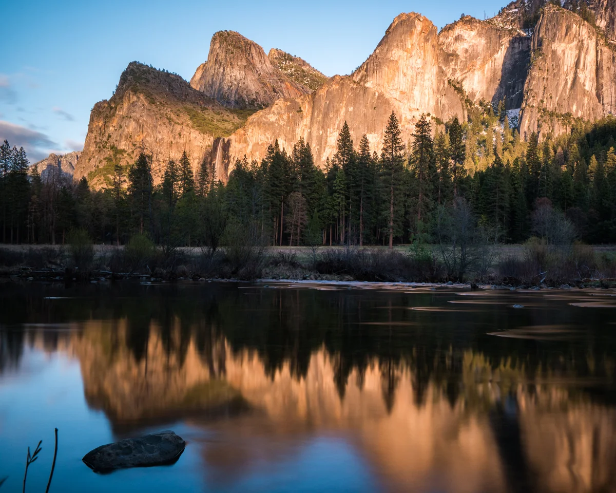
  • My Love Letter(s) To Our National Parks – Happy 100th National Park Service!

    My Love Letter(s) To Our National Parks – Happy 100th National Park Service!

    Wasim2BMuklashy2BPhotography

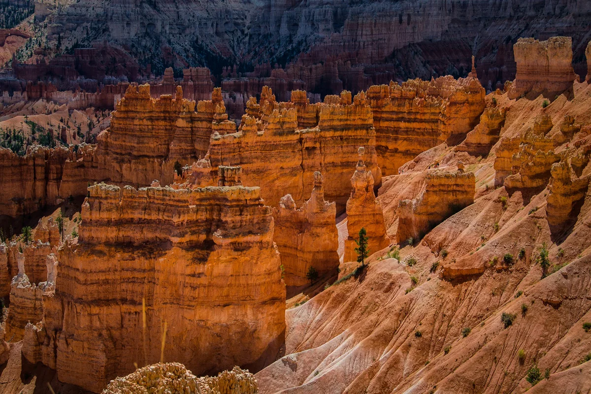
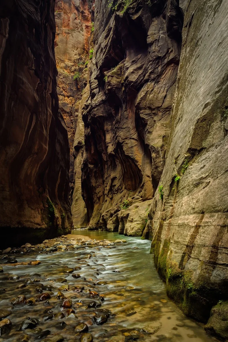
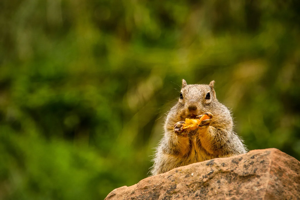
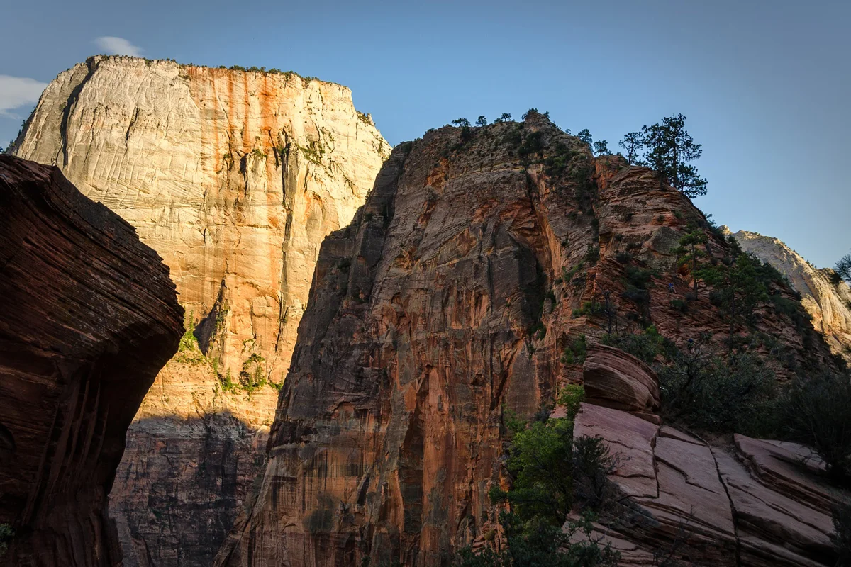
    Our National Parks and outdoors spaces have done more for me than I can ever possibly express. I have learned more about myself, more about all of us, and more about what and why matters and drives me and all of humanity in those parks than anywhere and anytime else in my adult life. I cannot think of anything that has helped to heal my psyche over the past decade and put everything into necessary perspective more than our natural world and outdoors spaces, and while it’s absolutely impossible to express all of those sentiments in a blog post, the most appropriate attempt would be to simply rehash some of my favorite scenes and stories that I have been blessed to see with my own eyes and experience with my own being over the years. So below is a gallery of 100 images from within some of our national parks and some links to some of the stories behind those images. Hope You Enjoy.

    That Time Yosemite Got Me Onto Some Of My Favorite Photography Podcasts!

    That Time I First Attempted To Explain What It Was About Nature Photography That Had Me Hooked

    That Time That Subaru And The National Park Service Picked My Image To Represent Their Zero-Landfill Park Cleanup Initiative

    That Time I Did The 3 National Parks, 2 Weeks, 1 Crap Bag Trip of 2013!

    That Time I Decided To Publish The Most Personal Thing I’ve Ever Put Out Publicly, An Explanation Of How Photography & Nature Helped Me Deal With Depression

    That Time I Got To Spend A Weekend With Friends While On Assignment Shooting A Cabin At The Edge Of Sequoia National Park

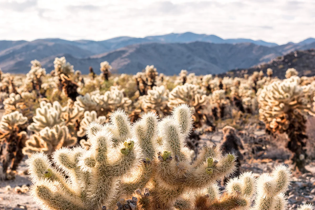
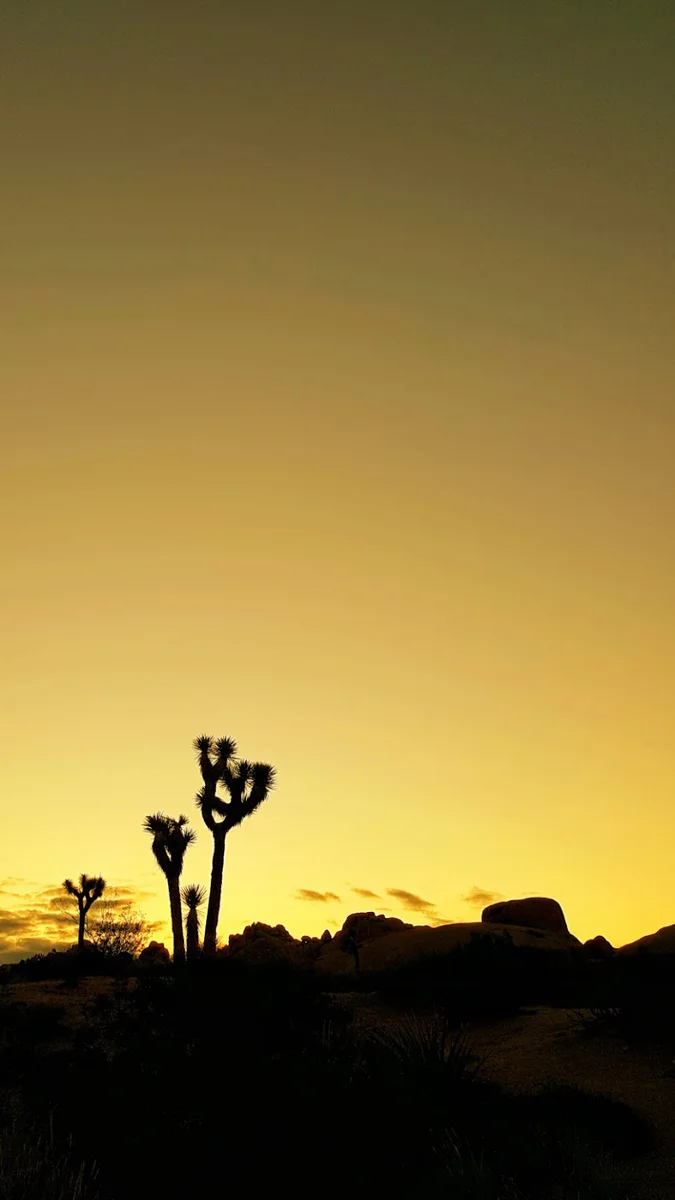
    That Time I Convinced My Family To Spend Thanksgiving In Joshua Tree National Park

    That Time I Sold My First Physical Print! Yup…T’was Of A National Park!

    That Time I Was Convinced To GIVE A FREAKIN’ SPEECH About How I Fell Into Nature Photography

    That Time I Got To Spend A Week In Yosemite Helping My Cousin And Her Family Introduce Their Two Children To The Majesty of The Valley.

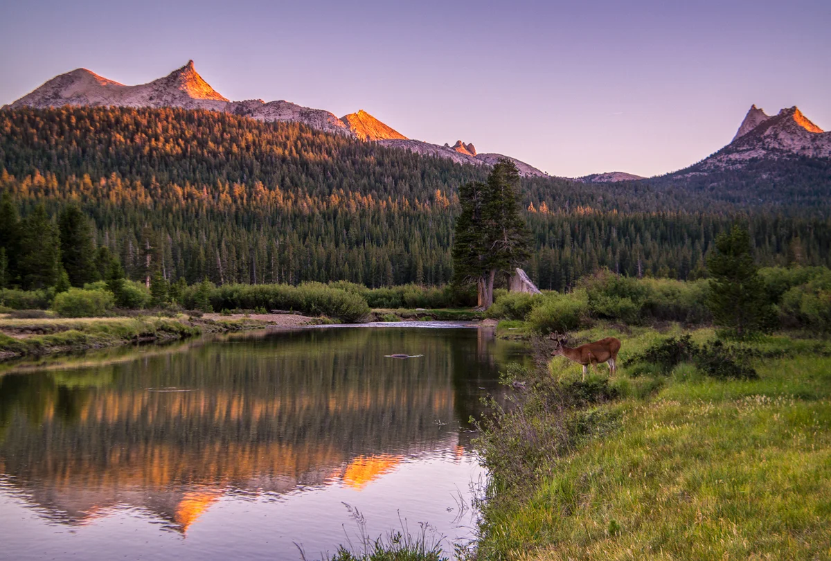
    That Time I Drove To Mammoth For A Job That Got Cancelled As Soon As I Got There So Frolicked In Yosemite’s Tuolumne Meadows Instead!

    That Time I Headed To Acadia National Park After A Job In Maine.

    That Time I Ended Up On The Same Walls As Ansel Adams and Art Wolfe!?

    That Time I Paid Homage To The Mountains That Made Me ‘Me.’ In All Its 360 Video Virtual Reality Glory!

    That Time I Finally Made It To Olympic National Park For Some Zen (And Some Not So Zen) Moments – Backpacking the High Divide Loop

    With that, I thank you National Park Service. You cannot begin to understand what you have done for me and how much you have meant to me. Thank you for all that you are and all that you do. I look forward to another century of stories, adventures, meditations, and realizations. Happy 100th. Here’s to 100 more!

    Oh so humbly,

    wasim.

    And if you so wish, for more of the blah blahs and what whats, find me at:
    instagram: @wasimofnazareth 
    ello: @wasimofnazareth 
    google+: +WasimMuklashy

    And if you enjoy these posts, please feel free to subscribe to my mailing list at top right of this page, and I’ll deliver each post to you as I publish them, and if you support the kind of work I’m doing and the things I’m sharing, please consider ‘subscribing to me’ on Patreon.com. Yup, subscribing to ‘me.’ You can even set the price. Literally, $1 per month if you want. No joke, your little helps me a LOT.
  • Turning Over A New Leaves – A Pacific Northwest Autumn Meditation

    Turning Over A New Leaves – A Pacific Northwest Autumn Meditation

    Image asset

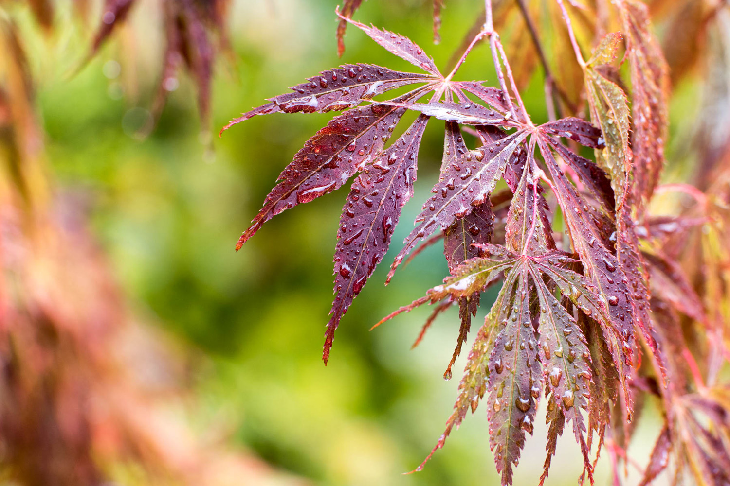
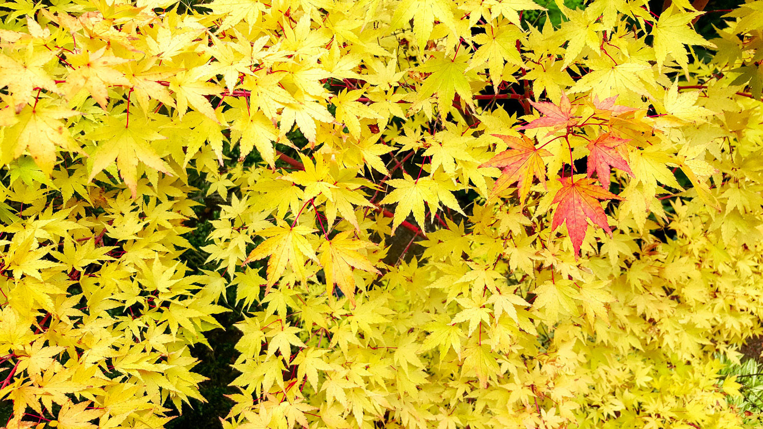
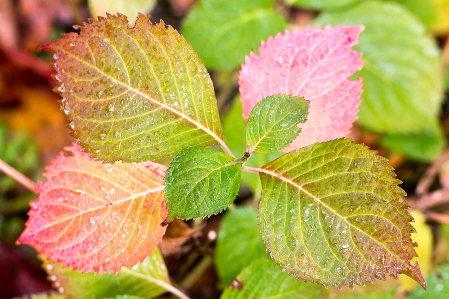
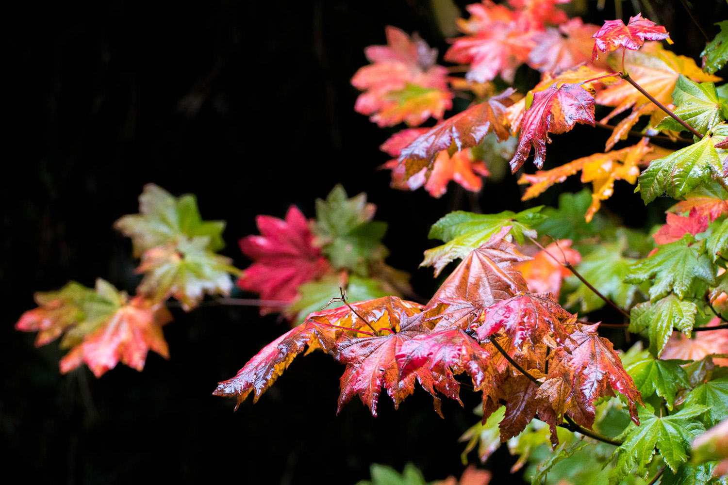
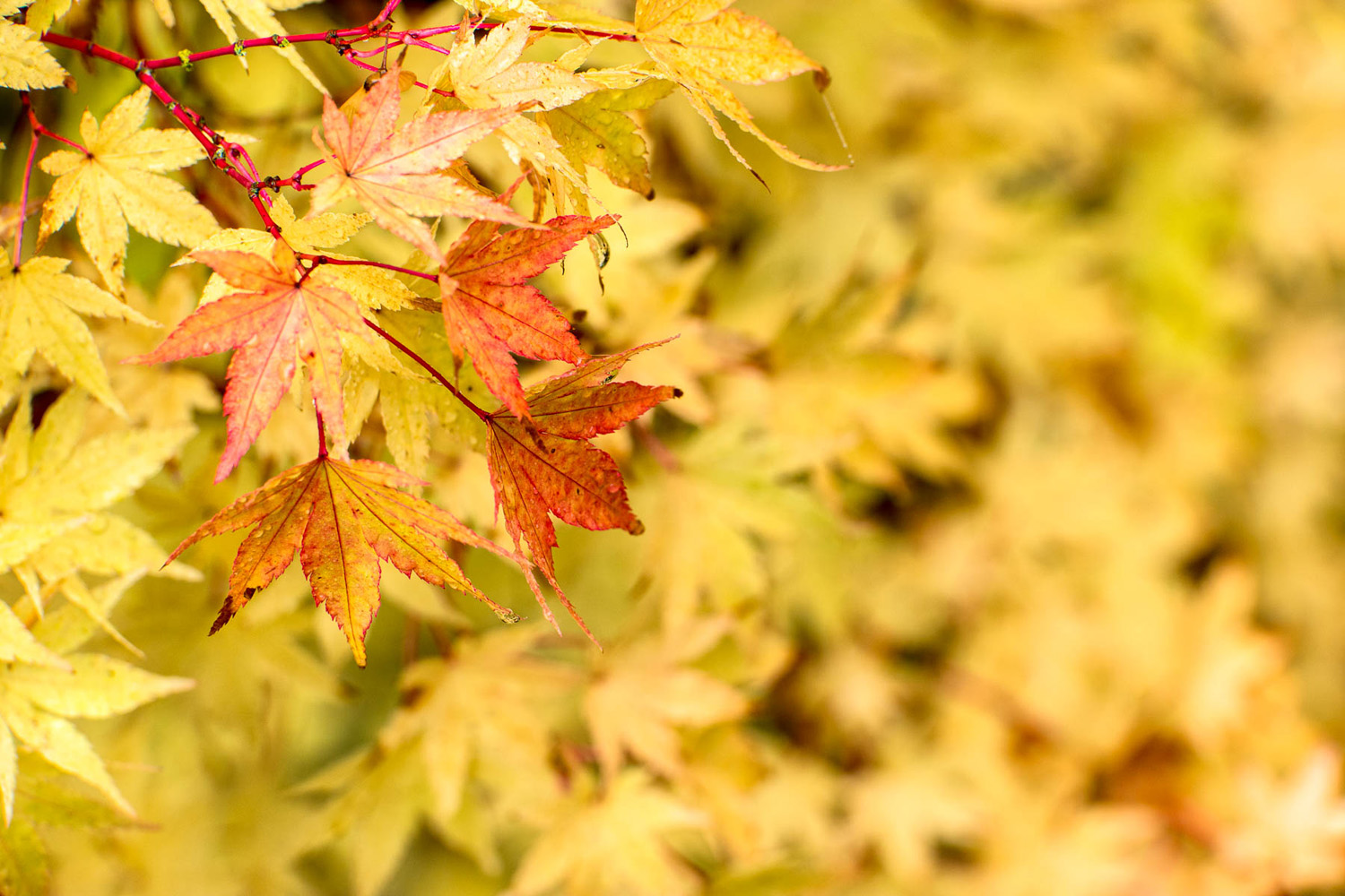
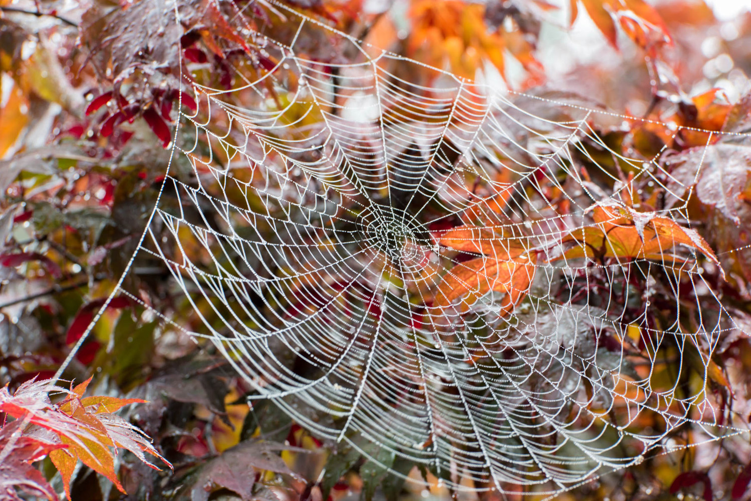
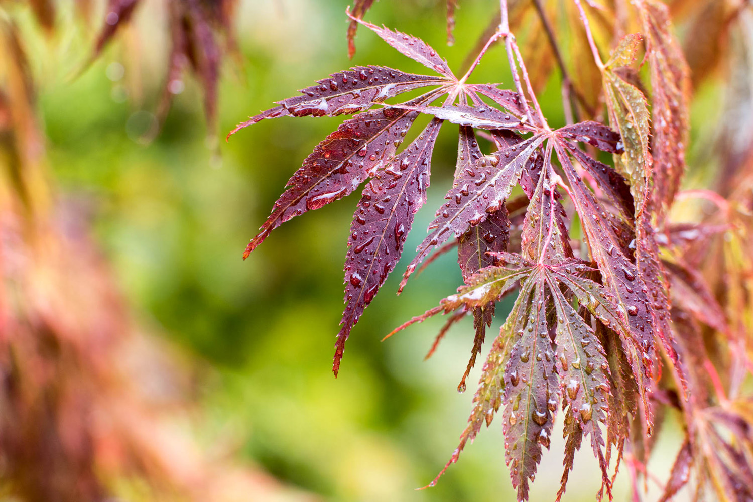
    I recently spent an incredible week in the Pacific Northwest, the reasons of which will come in a more detailed post next week, but while I was up there, I couldn’t help but capture a few scenes of the foliage beginning to turn. Coming from Southern California, it’s always a treat to be able to capture some fall colors, and just wanted to share those with you here as a bit of a peaceful meditation. Best viewed if you click on one, a lightbox will open. I recommend scrolling slowly through them – at least 15 seconds on each. Hope you enjoy.

    1. samsung galaxy note 5
    2. samsung nx1 | 100mm | f4.5 | 1/60s | iso320
    3. samsung nx1 | 150mm | f6.3 | 1/250s | iso640
    4. samsung nx1 | 150mm | f6.3 | 1/160s | iso250
    5. samsung nx1 | 150mm | f7.1 | 1/20s | iso100
    6. samsung nx1 | 150mm | f6.3 | 1/60s | iso250

    For more of the things and the stuffs:
    instagram: @wasimofnazareth 
    ello: @wasimofnazareth 
    google+: +WasimMuklashy

  • A Whirlwind Summer 2015 Trip Up The Coast Of Maine And Through Acadia National Park

    A Whirlwind Summer 2015 Trip Up The Coast Of Maine And Through Acadia National Park

    Image asset

    As I mentioned in the previous post, I just got back from a few weeks in Maine. The main purpose of the trip was to work on a video for Camp Skylemar, one of the most beautiful, efficiently run sleep away summer camps in the country. I’ll post much more about this insanely incredible experience once we’re done with the video in a few weeks, but this post is a quick focus on the 5 days after we were done. Since I had never been to Maine before, I tacked on some extra time at the end of the job to explore the State for a few days.

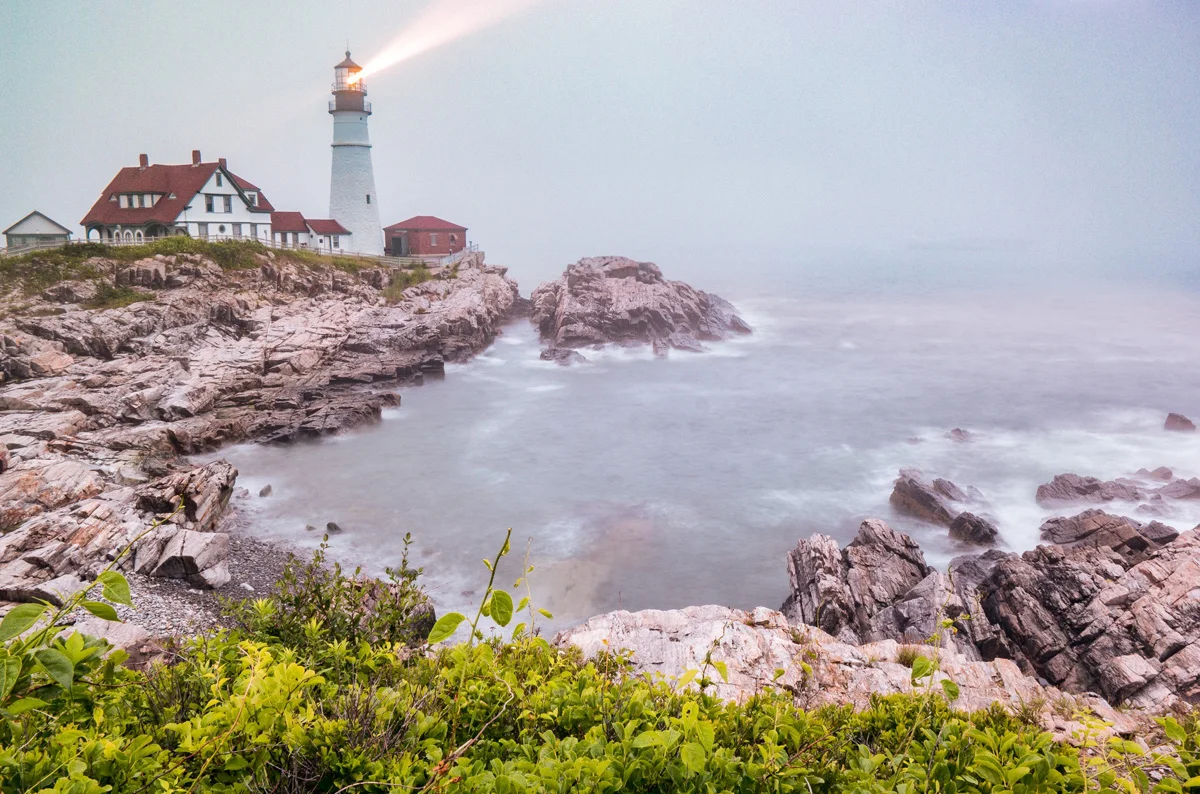
    I had reservations at an inn just outside Acadia National Park, about a 3 hour drive from Portland, Maine, and the idea was to immediately drive up the coast to fire a few shots of lighthouses and coastlines. While circumstances prevented me from driving up the first night, this offered me the opportunity to explore the “most photographed lighthouse in the world,” the Portland Head Lighthouse in Cape Elizabeth, Maine, just outside downtown Portland. I entered Fort Williams Park, the property upon which the lighthouse stands, just as the fog was rolling in and the sun began to make its descent. Unfortunately, they kicked everyone out of the park before the proper sunset, but I was still able to set up the tripod and capture a few shots of the lighthouse as the beam cut through the increasingly dense fog. The header to this post is that image, which is actually two exposures. I took one at 1/80s (samsung nx1 | 16mm | f2.2 | 1/80s | iso500), fast enough to freeze the light beam, and then another at 6 full seconds (samsung nx1 | 16mm | f22 | 6s | iso500} in order to capture a smooth milky water.

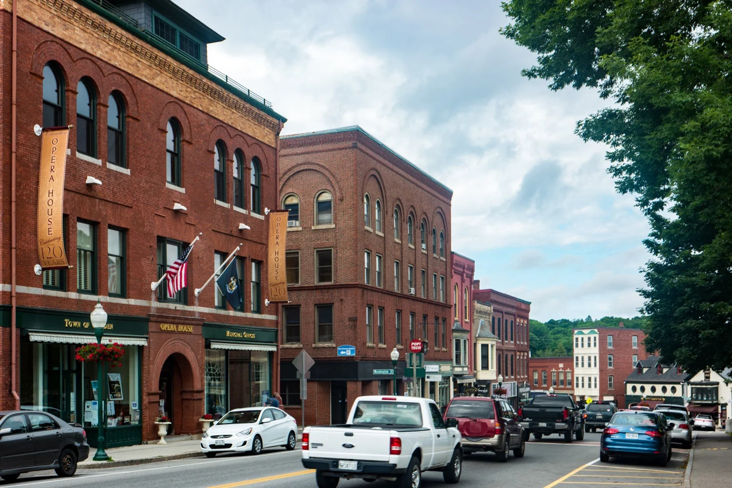
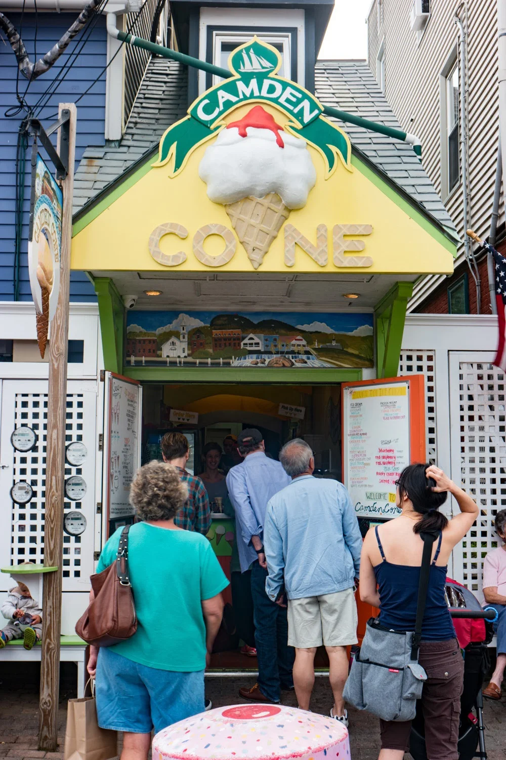
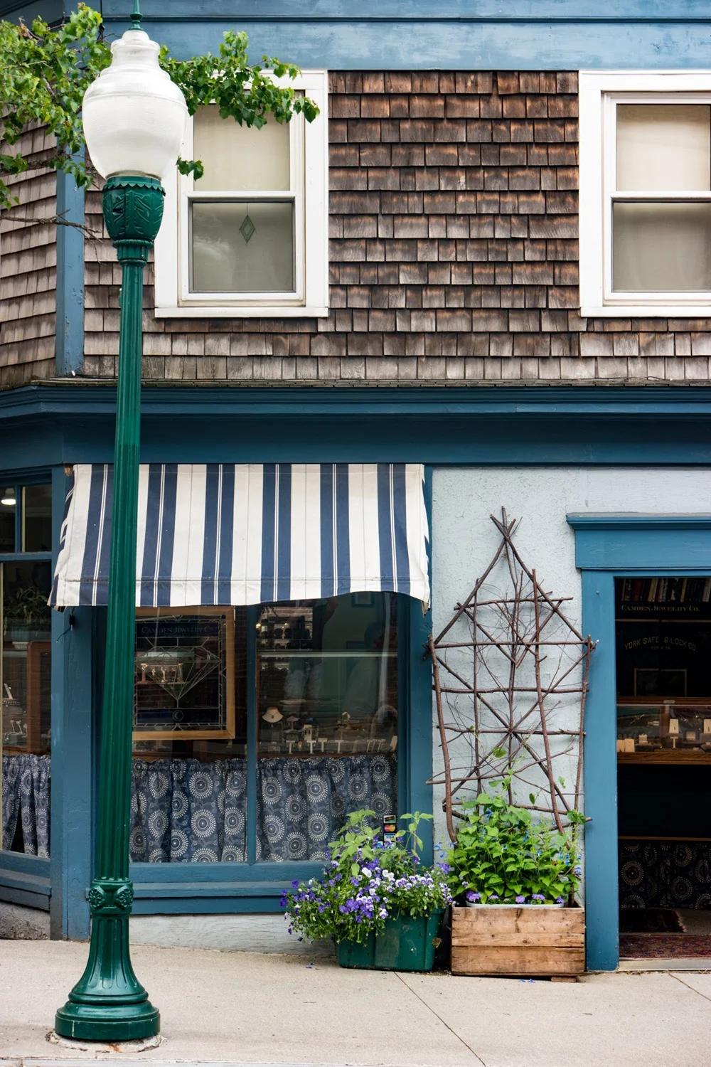
    The next morning, I grabbed a cup of coffee and got on the road. Acadia National Park, here I come. While it added an extra couple of hours to the drive, I opted to take the Highway 1, which tended to stay close to shore, rather than the 95, which would have had me on a highway through the center of the state. Well worth it. I was able to roll through towns like Rockland and Camden, stopping along the way to appreciate the classic New England architecture, feel, ice cream (yeah, I said it), and vibes of these classic New England towns. Not to mention my second lighthouse of the trip, Owls Head, just outside of Rockport.

    Image asset

    I ended up pulling into Trenton, the town just at the tip of Mount Desert Island, home to Acadia National Park, where my room was, around 6pm. I checked in and had just enough time to try to capture my first sunset in Maine. When I realized that I was within striking distance of Bass Harbor, just 20 minutes away, I knew that’s where it had to be. I picked up a delicious pesto chicken sandwich at the Cafe Drydock & Inn in Southwest Harbor, about 10 minutes from Bass Harbor, and continued on my way.

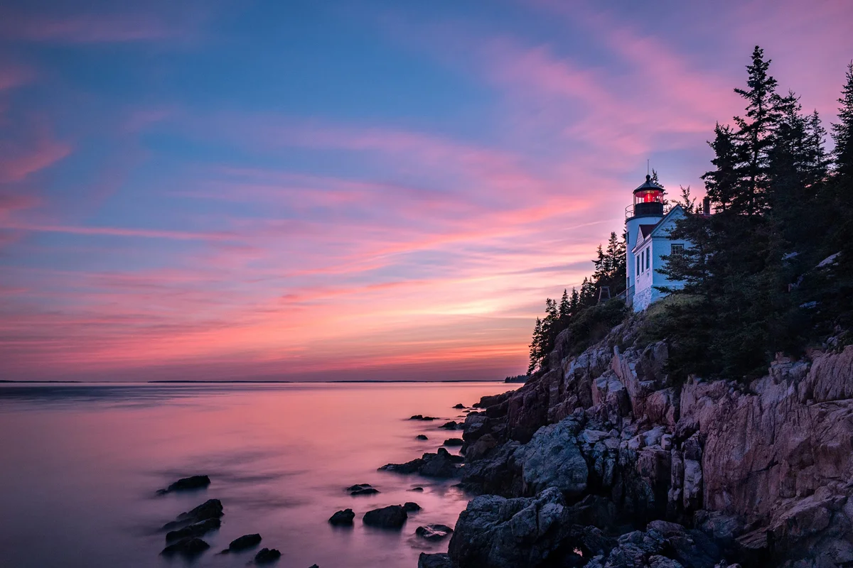
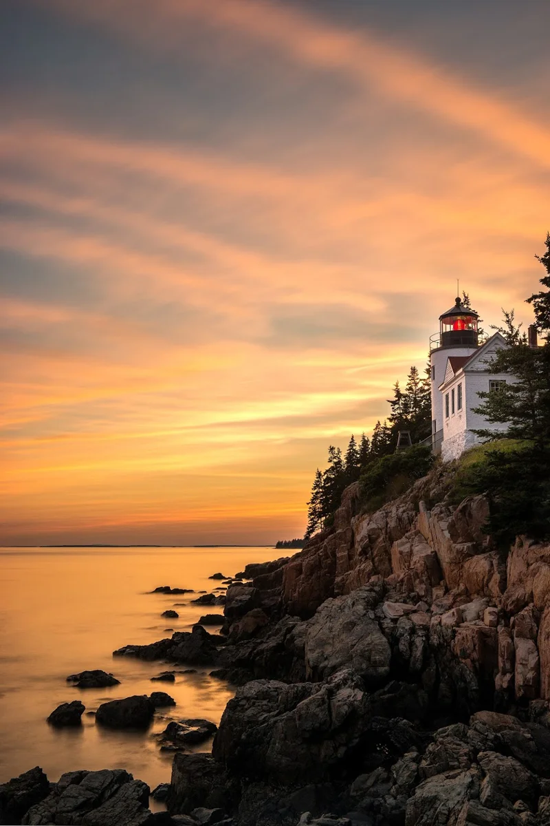
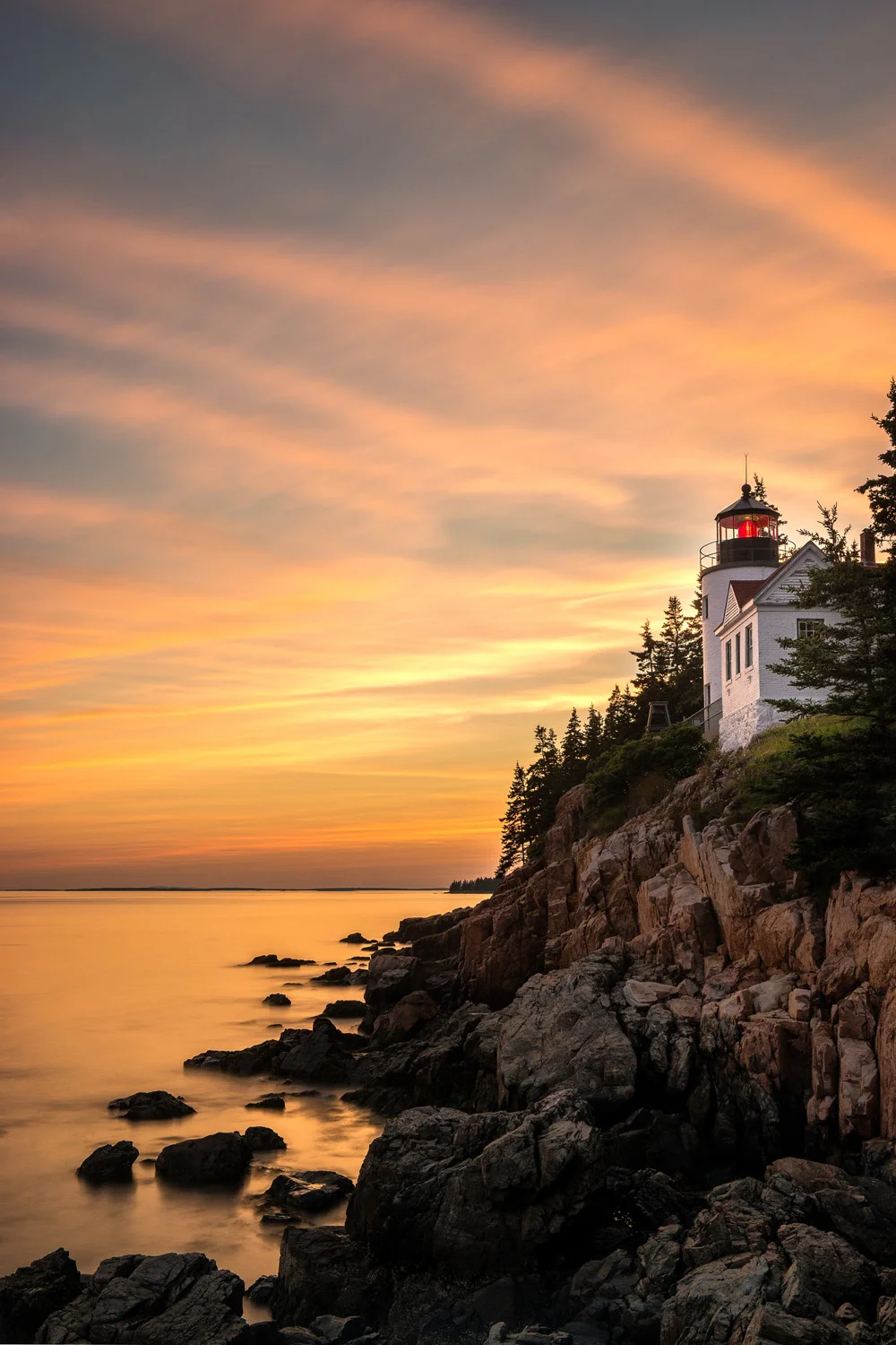
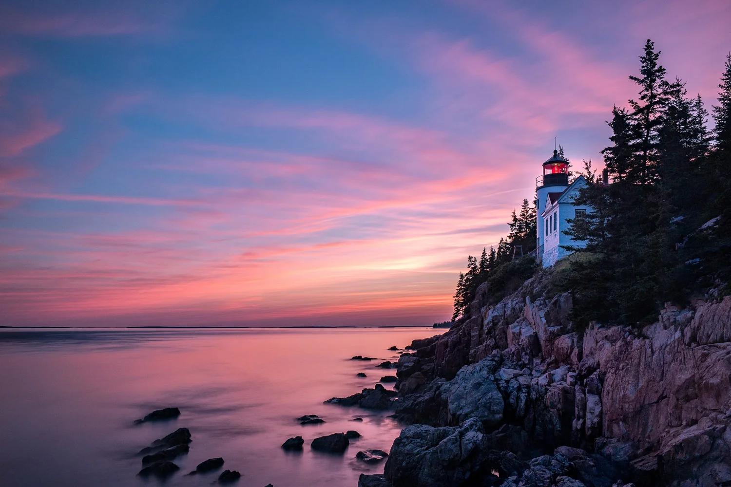
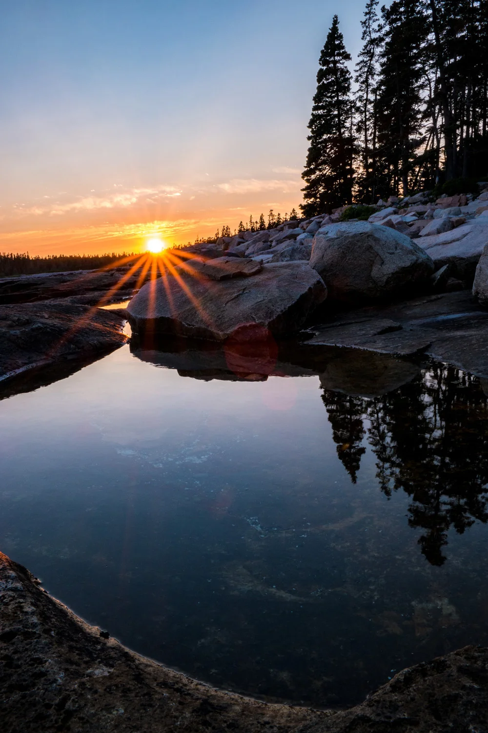
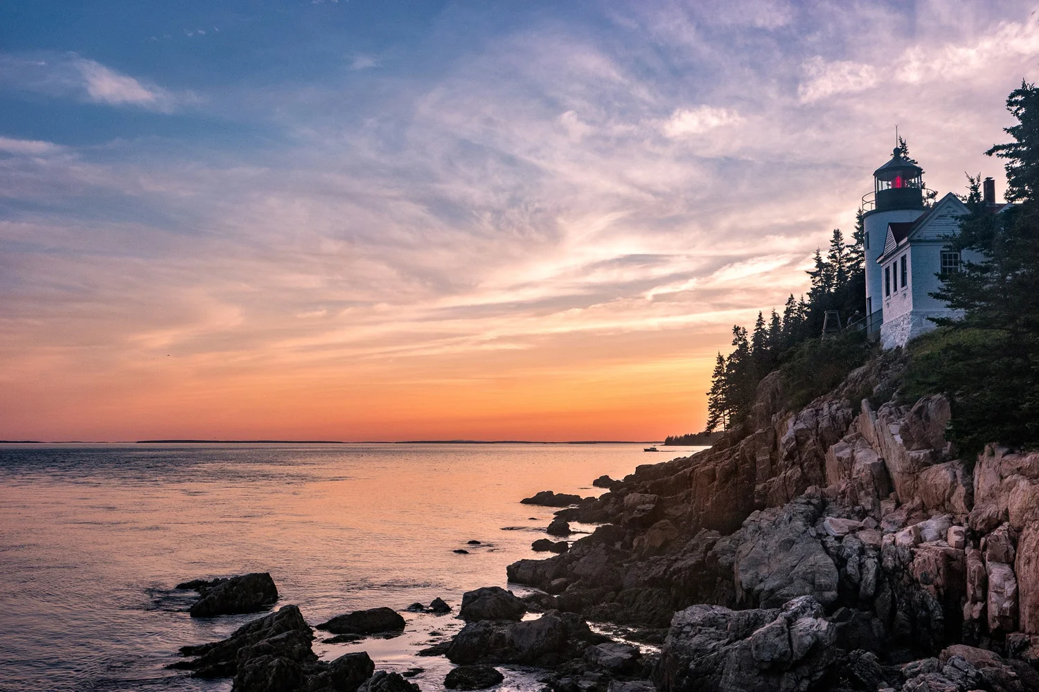
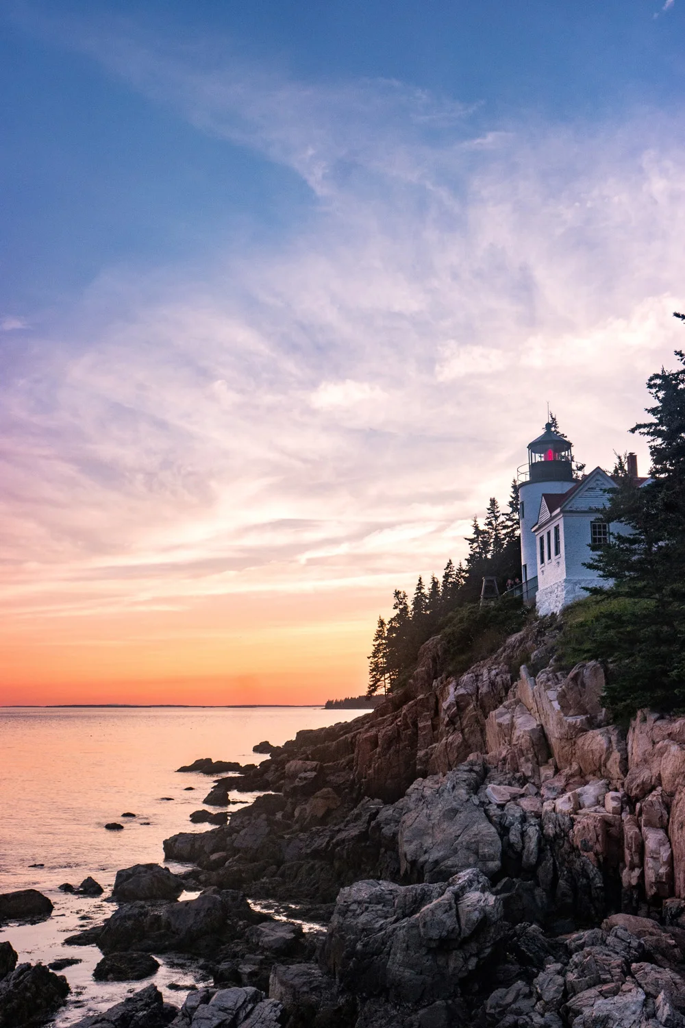
    The Bass Harbor Head Lighthouse is one of the most popular lighthouses in Maine. It sits right outside Acadia National Park and is situated along a steep rocky outcropping right on the coast. It’s absolutely beautiful and, although it’s one of those token iconic images, I knew I had to capture it to get it out of my system. And for good reason. Just as I made my way down the trail to the shoreline, I saw about 8 or 9 photographers already set up. And there wasn’t much room to maneuver. So I had to settle for perching on the top of a rock overlooking the other photographers as well as sharing the space with a family vacationing in the area. In the end, this turned out perfectly OK, especially since, as the sun broke through the early evening clouds, we were treated to a perfectly stunning cotton candy sky. The colors ran the gamut from purple to pink to orange to magenta to red to yellow. And the streaks couldn’t have been more perfect, as they mimicked what would normally have been radiating beams of lighthouse light.

    Image asset

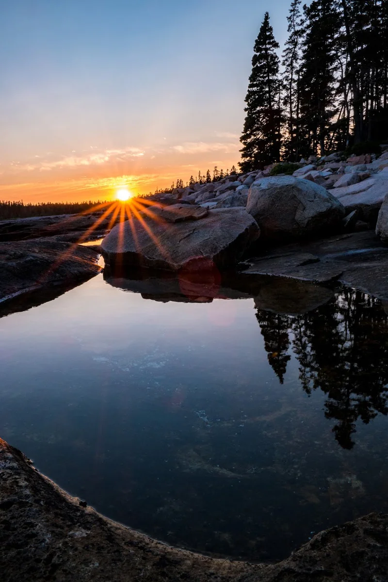
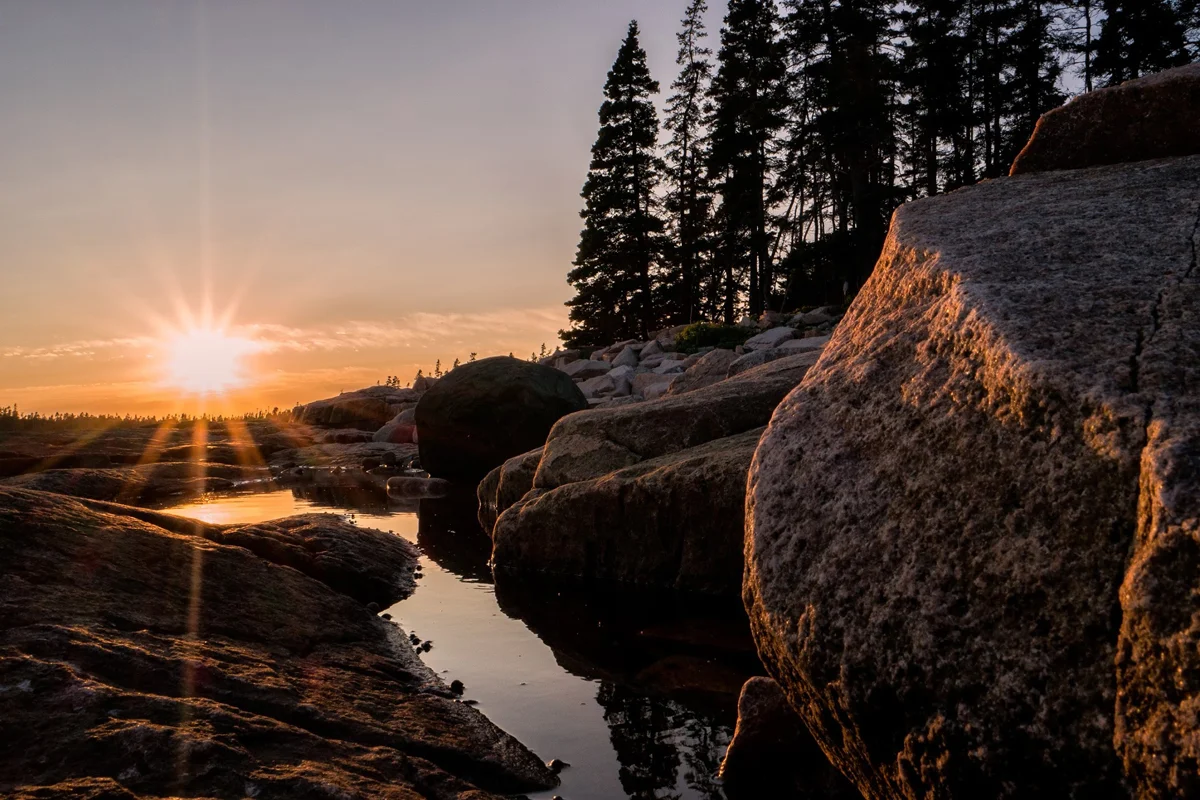
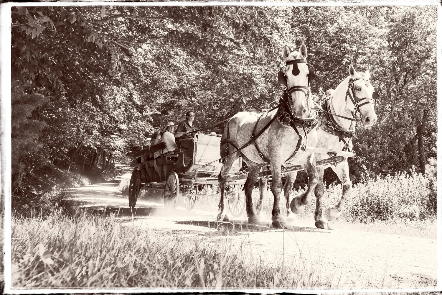
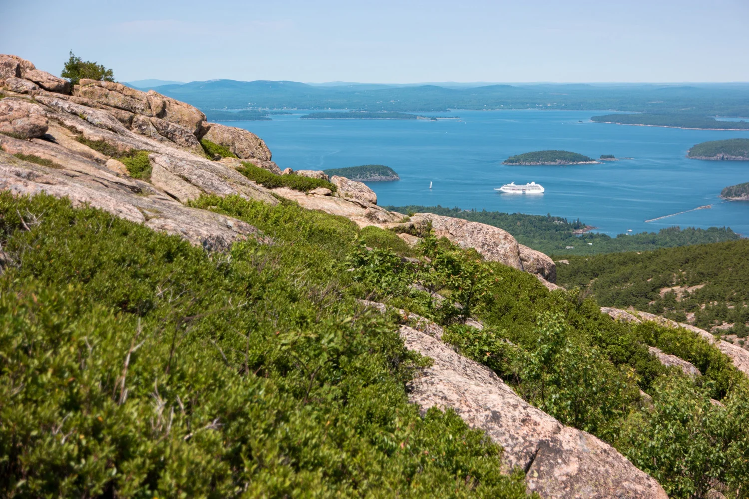
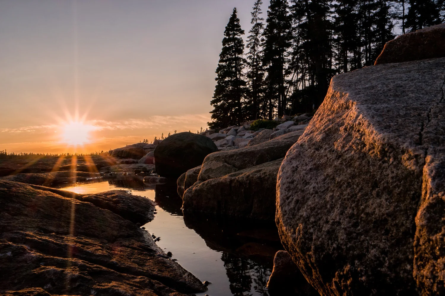
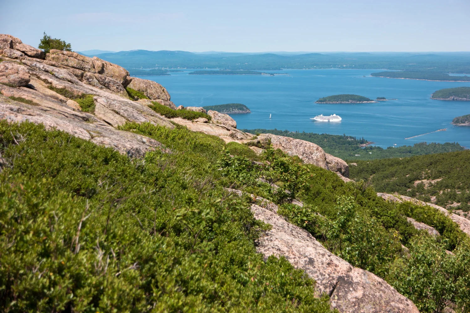
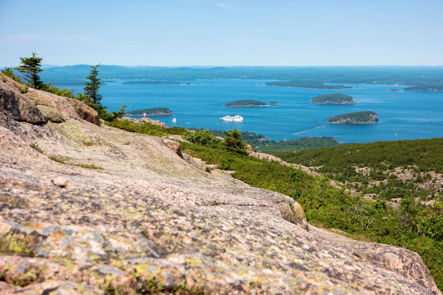
    Now that I had my ‘lighthouses’ out of my system, I had the next 2 days to completely explore with absolutely no agenda, and Acadia National Park to do it in. Those 48 hours included driving around the park on Park Loop Road to get acquainted with the premises. Spent about 90 minutes hiking a part of Cadillac Mountain, the highest point on the North Atlantic seaboard and the first place in the U.S. to see the sunrise (sadly I did not get the chance to capture a sunrise there this time around) before heading into various parts of the park including a walk around a sizable portion of Jordan Pond, a trip down to the Wildwood Stables where I began a 3 hour hike on the old Rockefeller Carriage Roads – a 57 mile network of stone gravel roads designed especially for hikers, walkers, and horse drawn carriages by John D. Rockefeller in the early 1900s, a drive down the bayside Sergeant Road, snaking through the various harbors, from Northwest Harbor to Southwest Harbor to Fremont, and a final sunset in Maine which I enjoyed and captured at the end of the Wonderland Trail at the southernmost tip of the island.

    Image asset

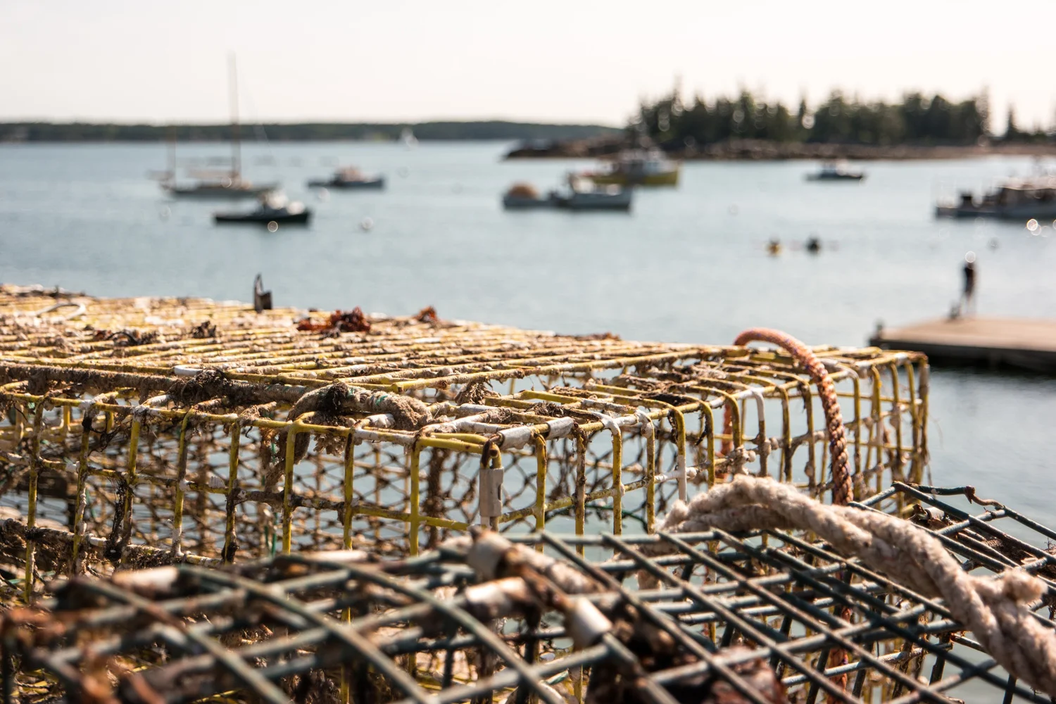
    My first foray into New England will absolutely not be my last. Maine was everything I imagined it to be and more. Beautiful. Charming. Quaint. Comfortable. Spacious. Green. Perfect. The uniquely vibrant aquatic architecture, the fenceless neighborhoods where you could rarely tell where one grassy property ended and the next began, the creamy home-churned ice cream on every corner, the stacks of lobster traps and buoys dotting the driveways, the random 5 minute outbursts of rain, the village-like atmosphere and old-school red-roofed Post Office on every Main Street up and down the coast, the smell of fresh seafood everywhere you stepped, and the wide smiles of those well out of the throughs of the winter months happily serving it all to you.

    Maine, you had me at hello. I can’t wait to get back.

    Image asset

    Below is a set of images from those 5 days, all of which were taken on Samsung NX1 and Samsung NX500 cameras. Click on any of them and it’ll open up a lightbox slideshow.

    And if you’re looking for yet more instagoogastuffs:
    instagram: @wasimofnazareth 
    ello: @wasimofnazareth 
    google+: +WasimMuklashy

    If you enjoy these posts, please feel free to subscribe to my mailing list at top right of this page, and I’ll deliver each post to you as I publish them, and if you support the kind of work I’m doing and the things I’m sharing, please consider ‘subscribing to me’ on Patreon.com. Yup, subscribing to ‘me.’ You can even set the price. Literally, $1 per month if you want. No joke, your little helps me a LOT.
     

  • Yosemite Oh Yosemite, Alas, We Meet Again. A Spring 2015 Journey Into America’s Greatest Valley

    Yosemite Oh Yosemite, Alas, We Meet Again. A Spring 2015 Journey Into America’s Greatest Valley

    Wasim Muklashy Photography_April 2015_Yosemite_California_Samsung NX1_ SAM_8346_1800px

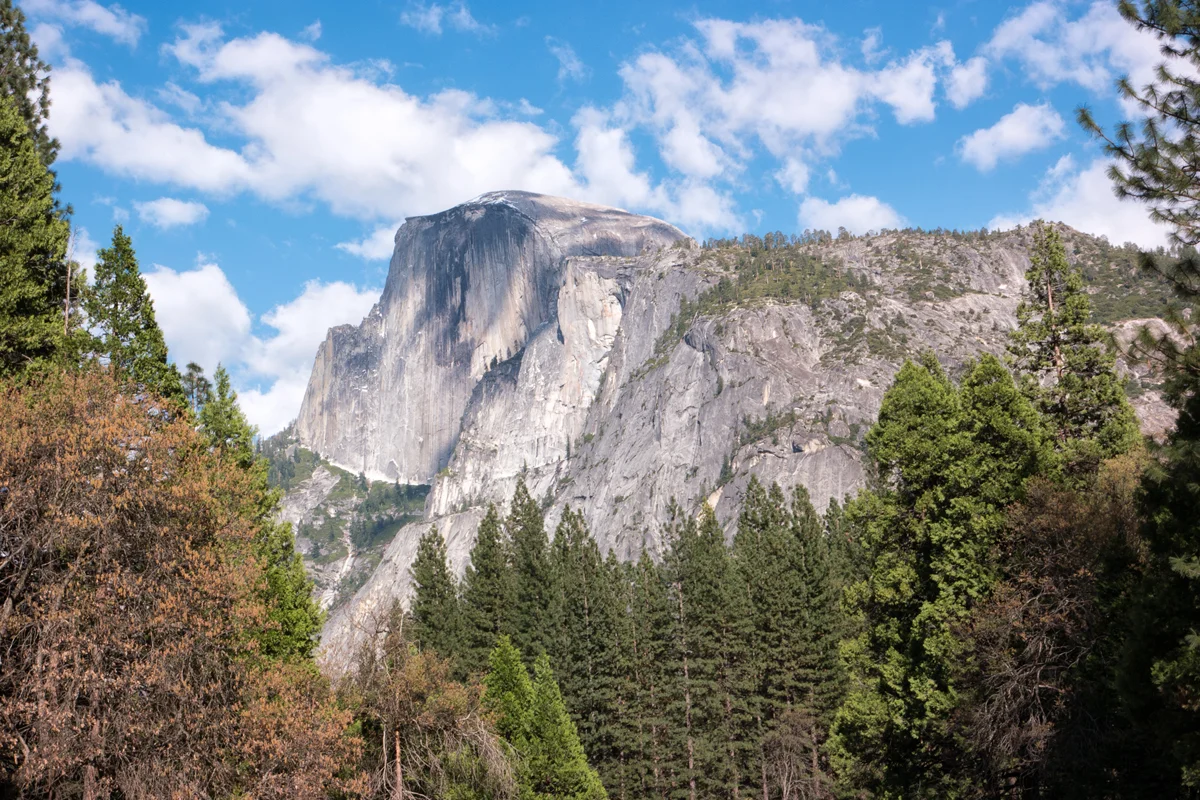
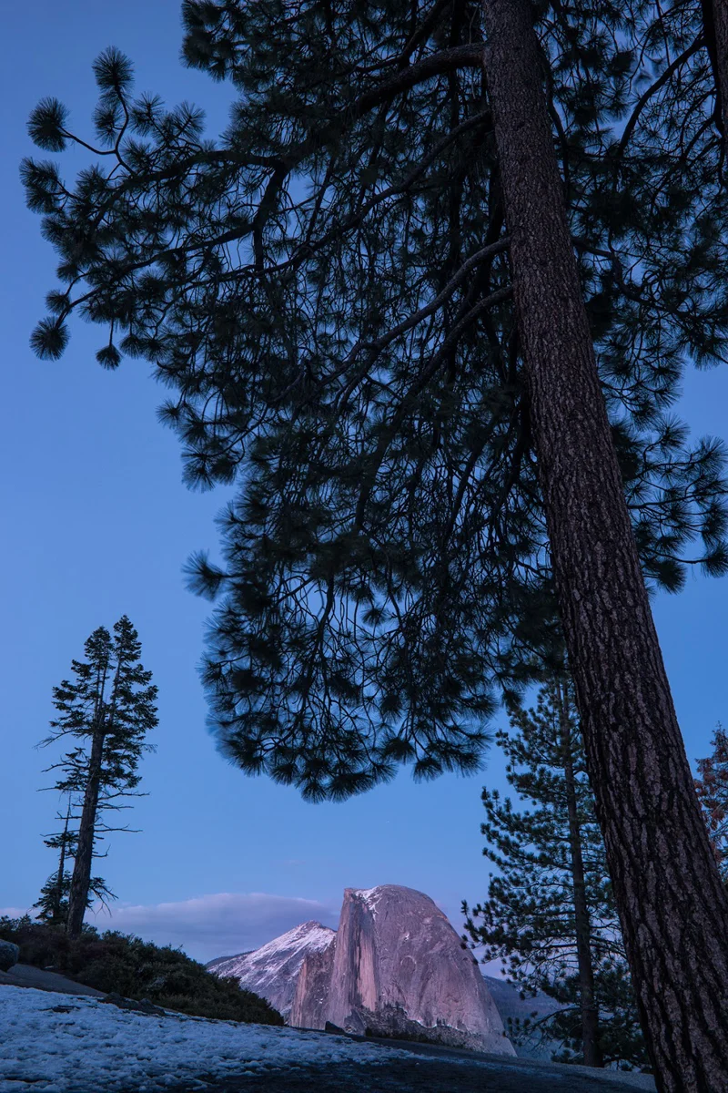
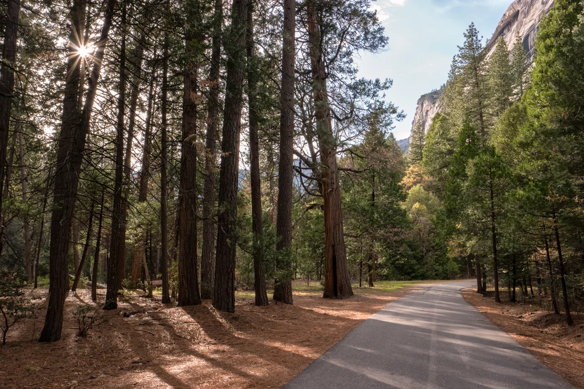
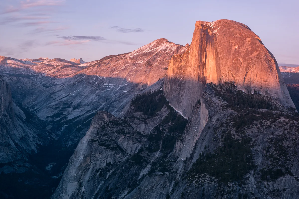
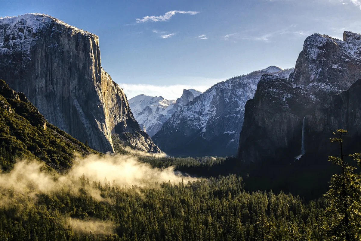
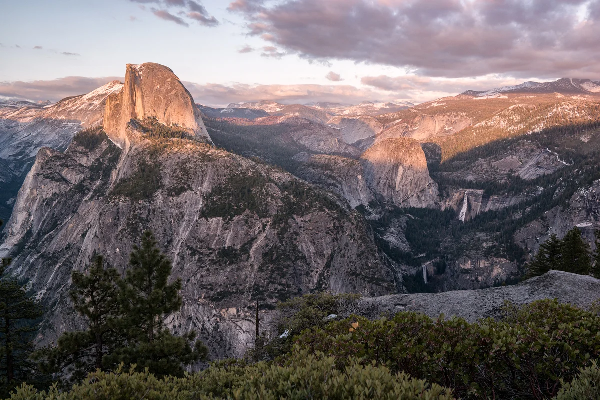
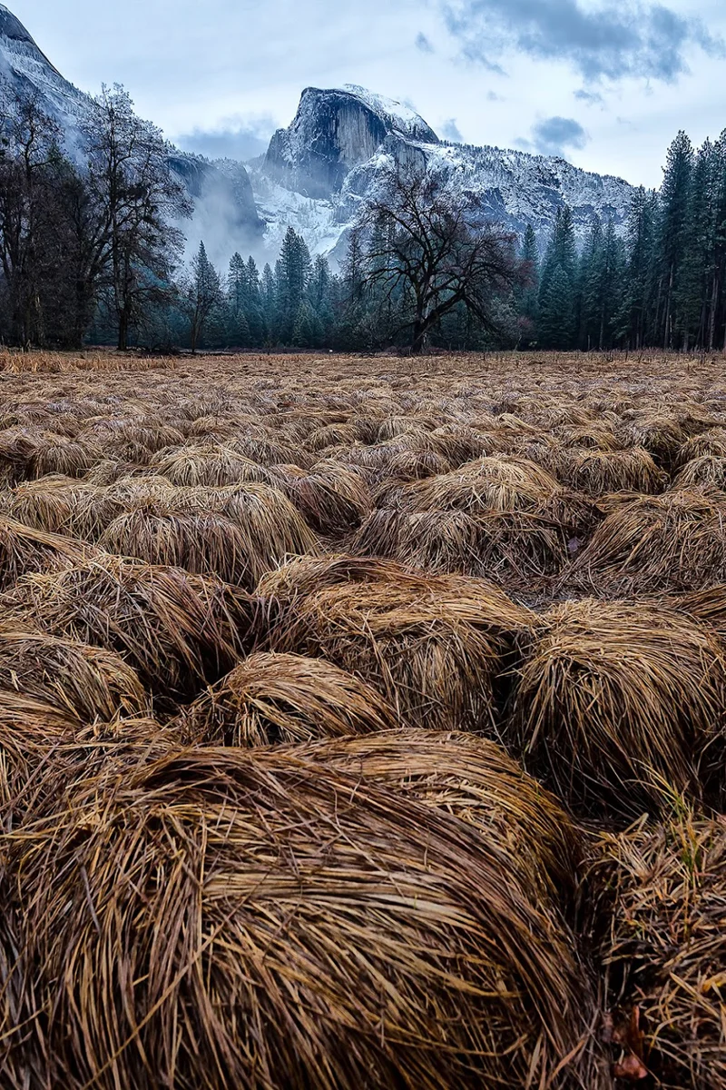
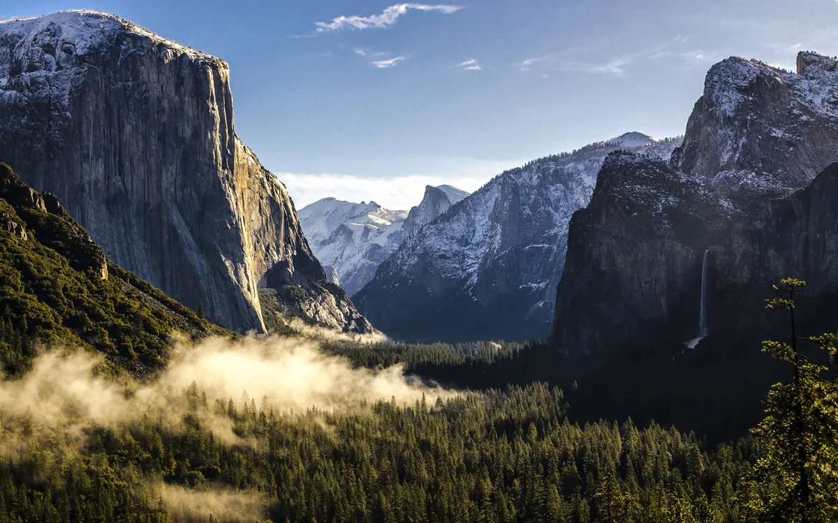
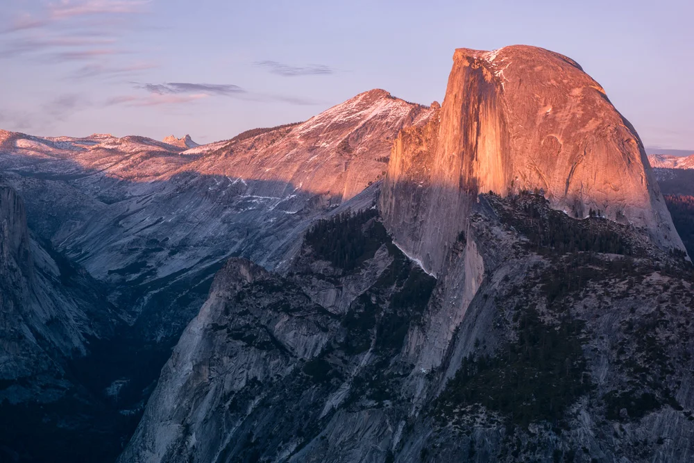
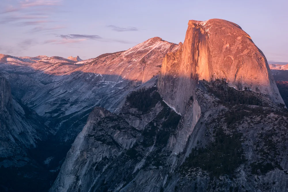
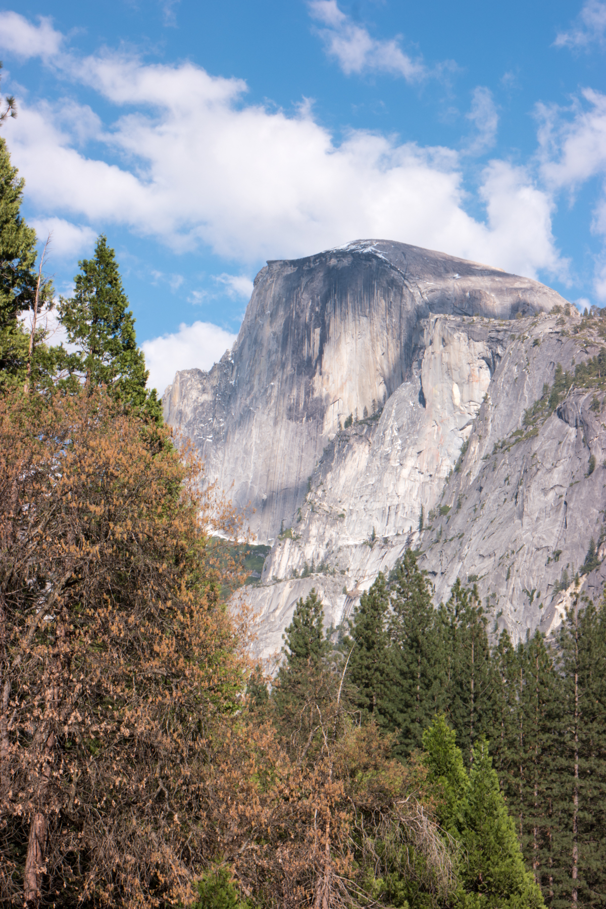
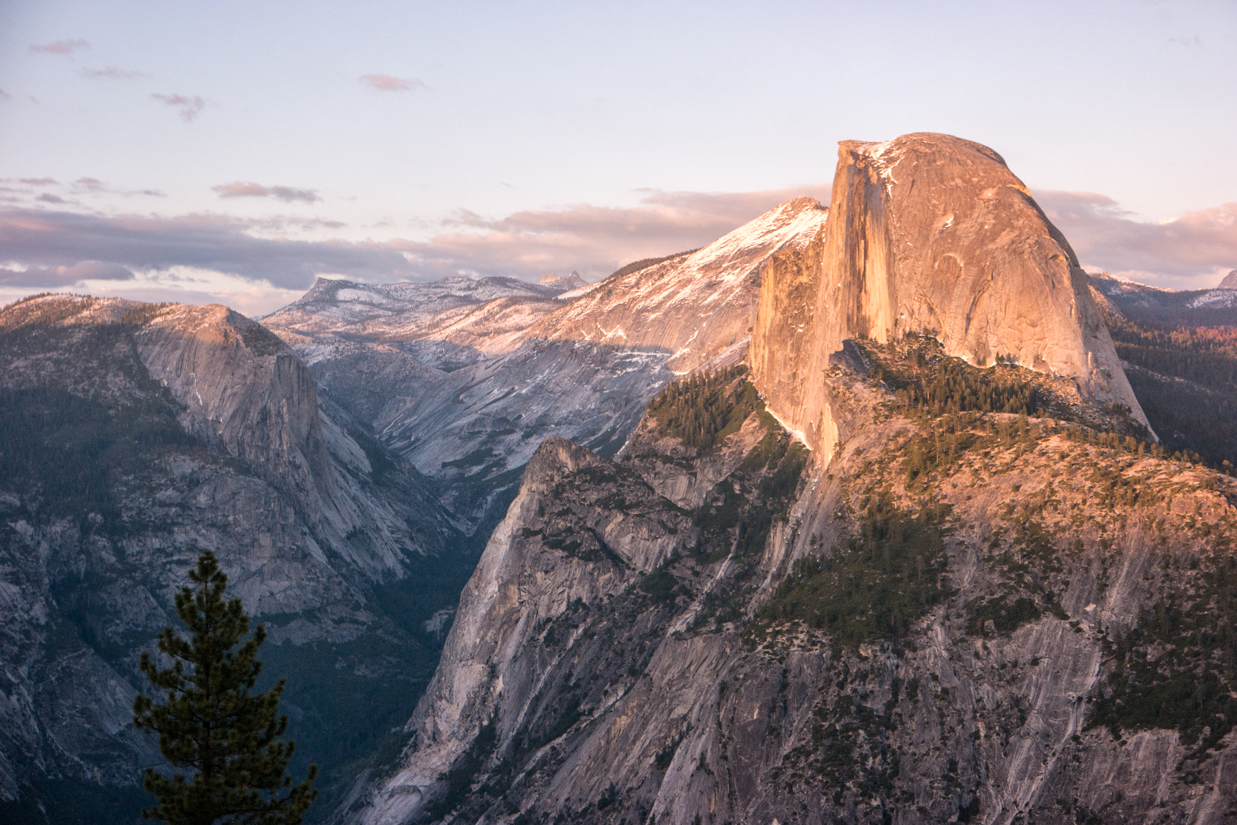
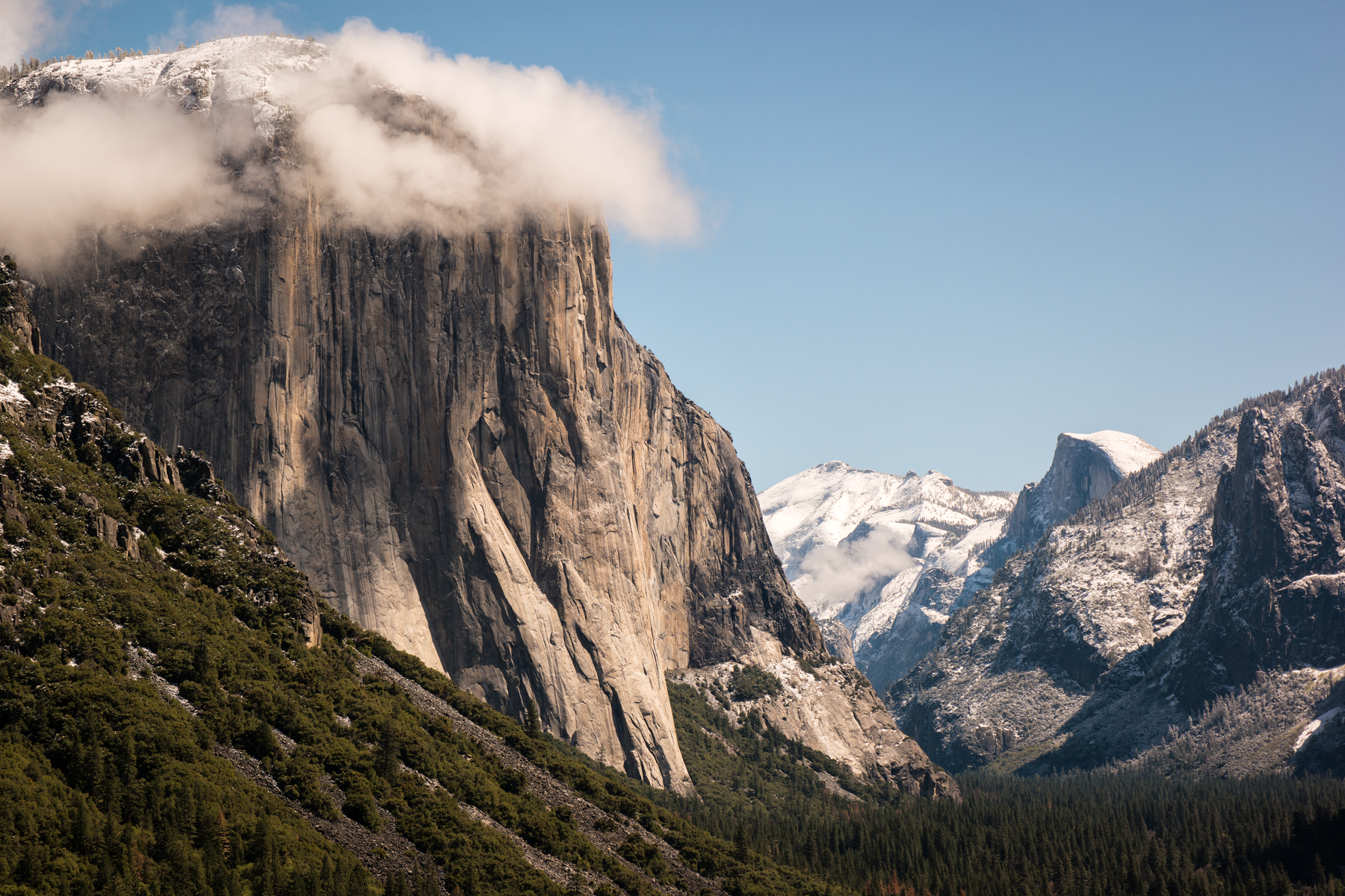
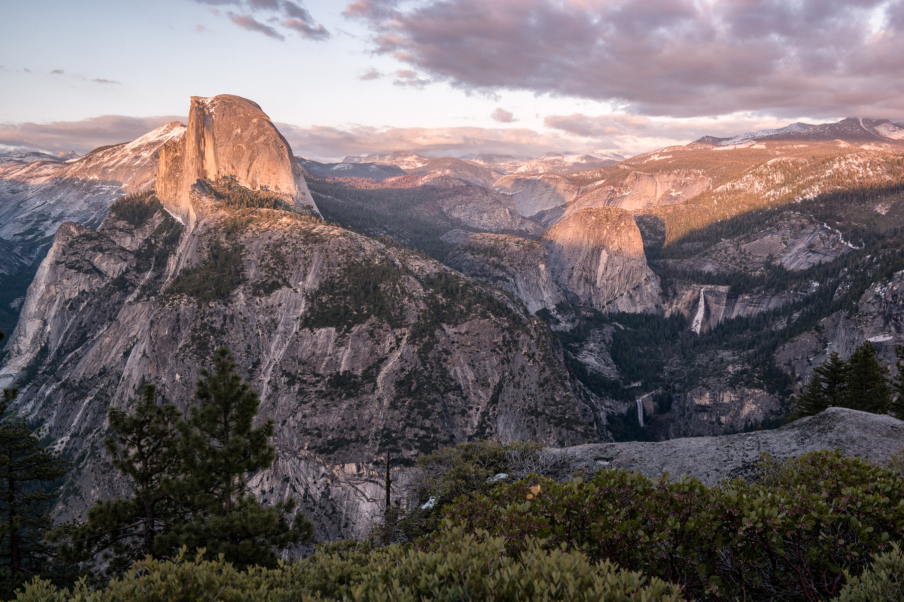
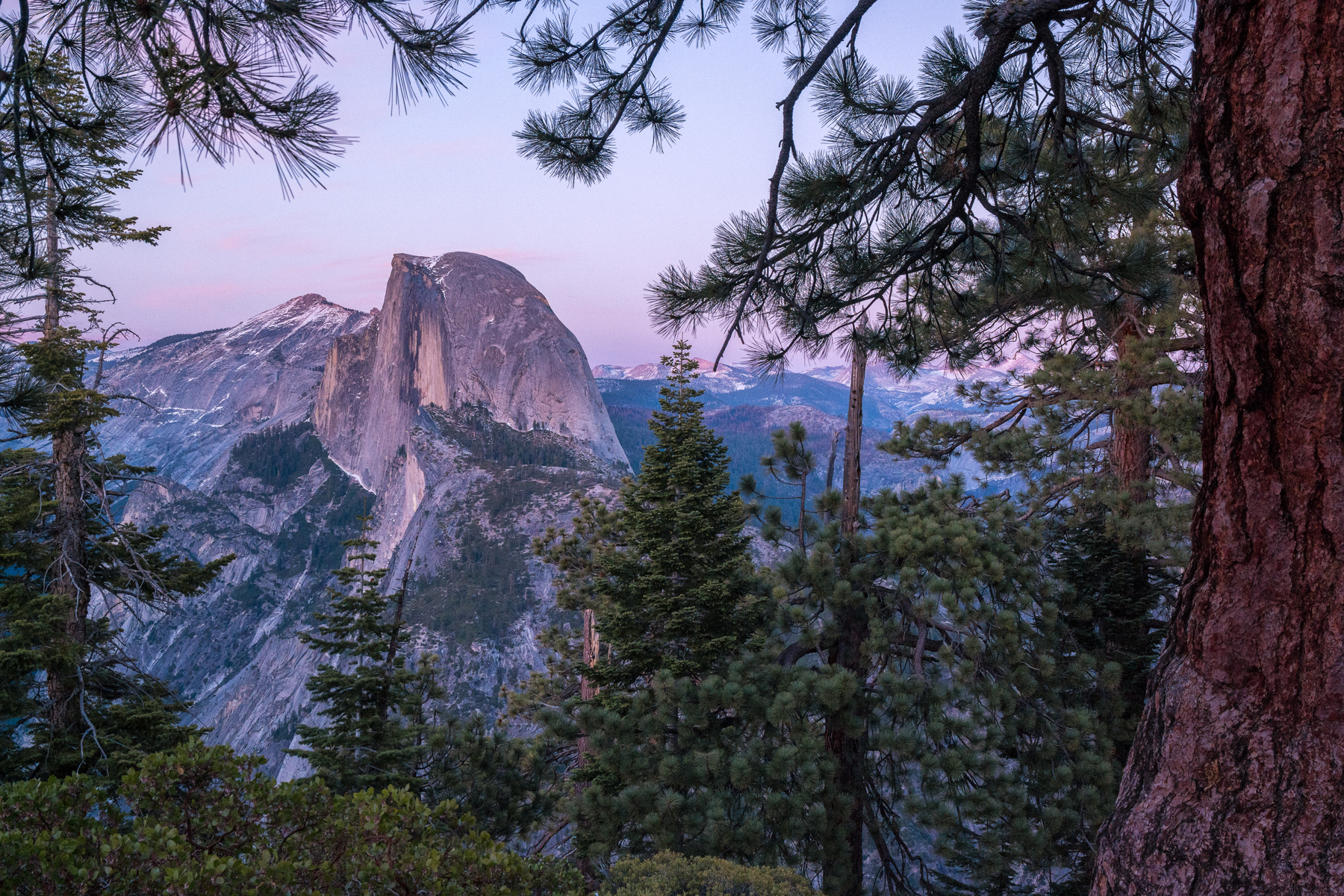
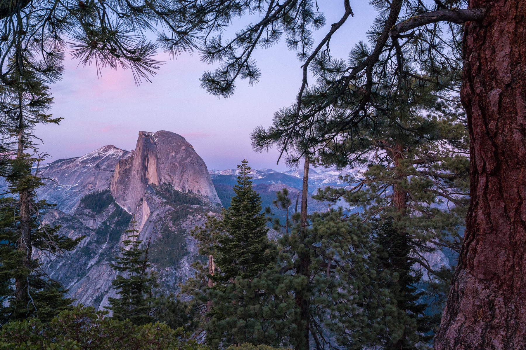
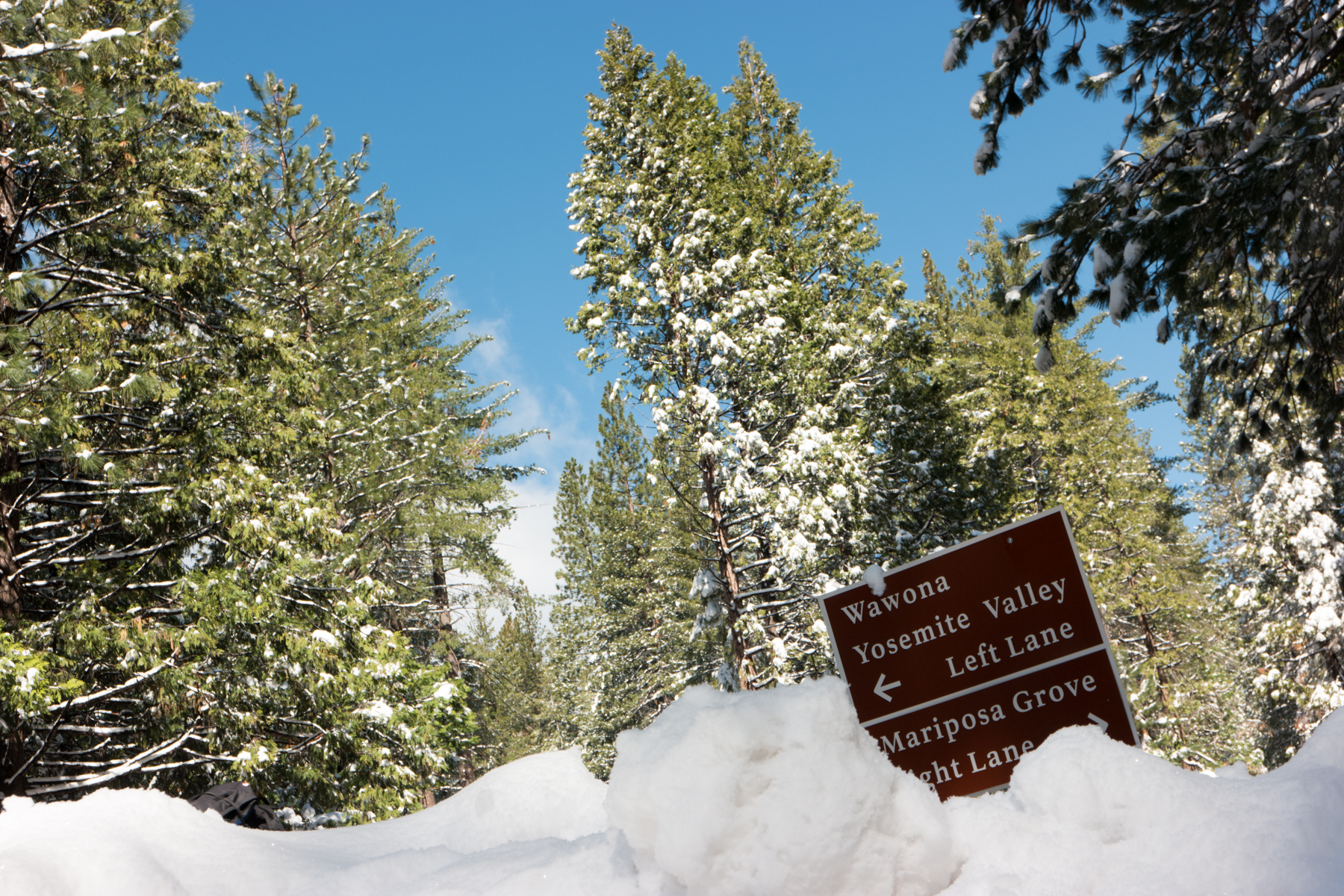
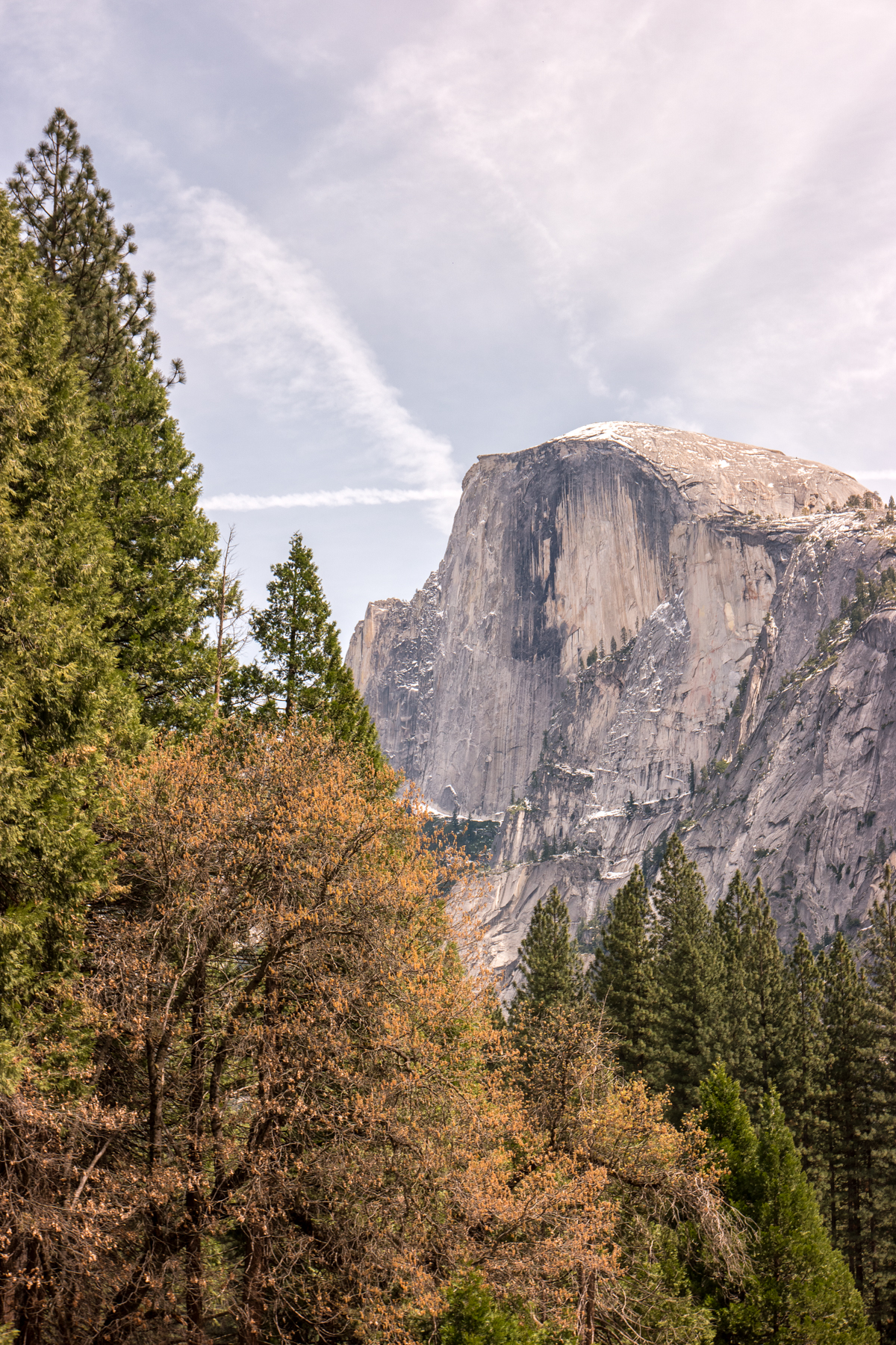
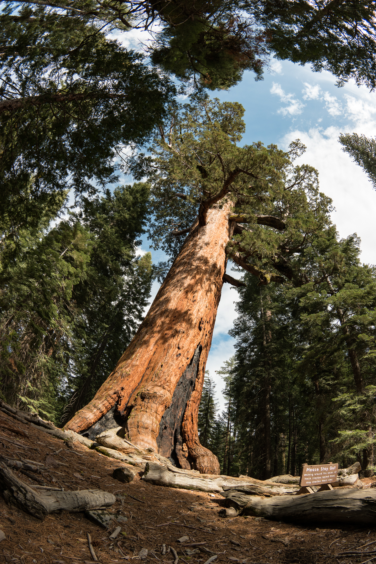
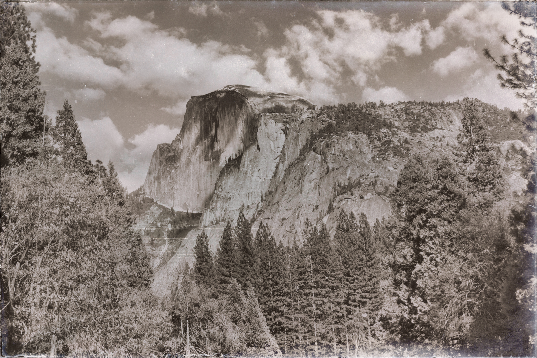
    So this is a little uncharacteristic of me, but this time, I’m going to try to go easy on the words and let the images tell the story. Yosemite is just one of those places…the type that no matter who or what you are, will be affected by it. It’s simply impossible to turn that final curve on Highway 41 and exit that 1/4 mile tunnel 30 miles past Yosemite National Park’s South Entrance, without feeling like time slows down, at least for a split-second, to work out whether or not your eyes and senses have failed you as you try to come to grips with the sheer scale and beauty of the surreal valley that lies before you. Or as you drive up Glacier Point Road for 16 miles through dense pine and redwood forest before turning on that final S Curve just before Glacier Point and essentially slamming head-on into the world’s most magnificent chunk of granite, Half Dome, as it rests gloriously upon its perch, keeping a watchful eye over Yosemite Valley 3000 feet below. I was fortunate enough to be able to spend last week in Yosemite with my cousin, her family (including her photographer husband Stephen Chiang), and my aunt – the exact same crew that put up with my shenanigans last year on the Big Sur trip that I wrote about here. While our cabin was at Bass Lake, about 45 miles from the Valley, we spent every day within the borders of the park. Each day proved to be quite different than the day before. On the first day, we were treated to a mild snowstorm, leaving a nice blanket of fresh powder through the park for the next 24 hours. After those first 36 hours, it turned immediately to Spring, as the clouds cleared and the sun shone down upon us for the remainder of the week.

    Wasim Muklashy Photography_April 2015_Yosemite_California_Samsung NX1_ SAM_8031_1800px

    This afforded us the ability to enjoy everything from a showing of “The Spirit Of Yosemite” in the Museum’s Yosemite Conservancy Theatre to a snack at the stately Ahwahnee Lodge and a stroll through the Ansel Adams gallery in the village, leaving us with ample time and inspiration to visit all the usual suspects along with a few spots and moments we were able to call our own.

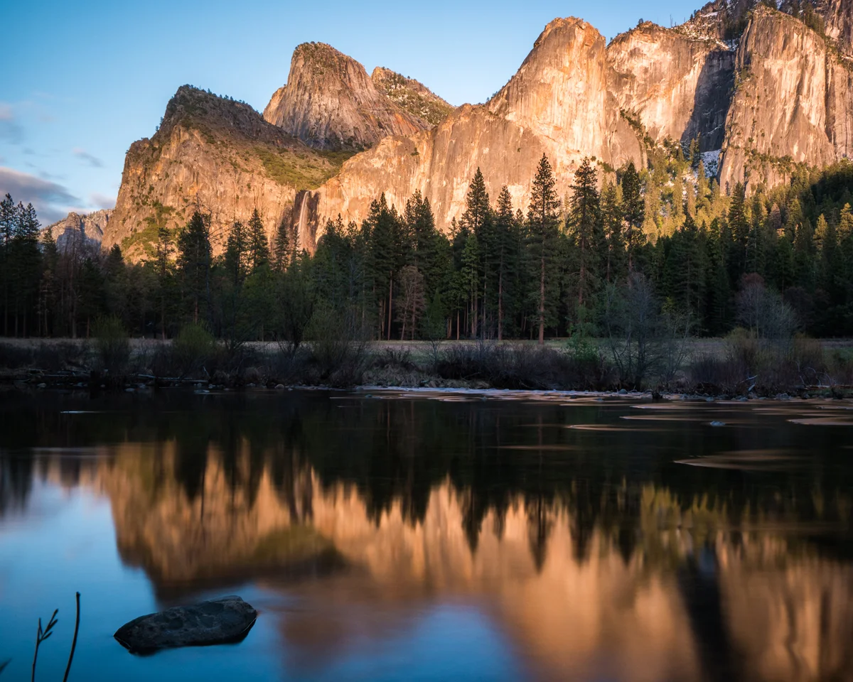
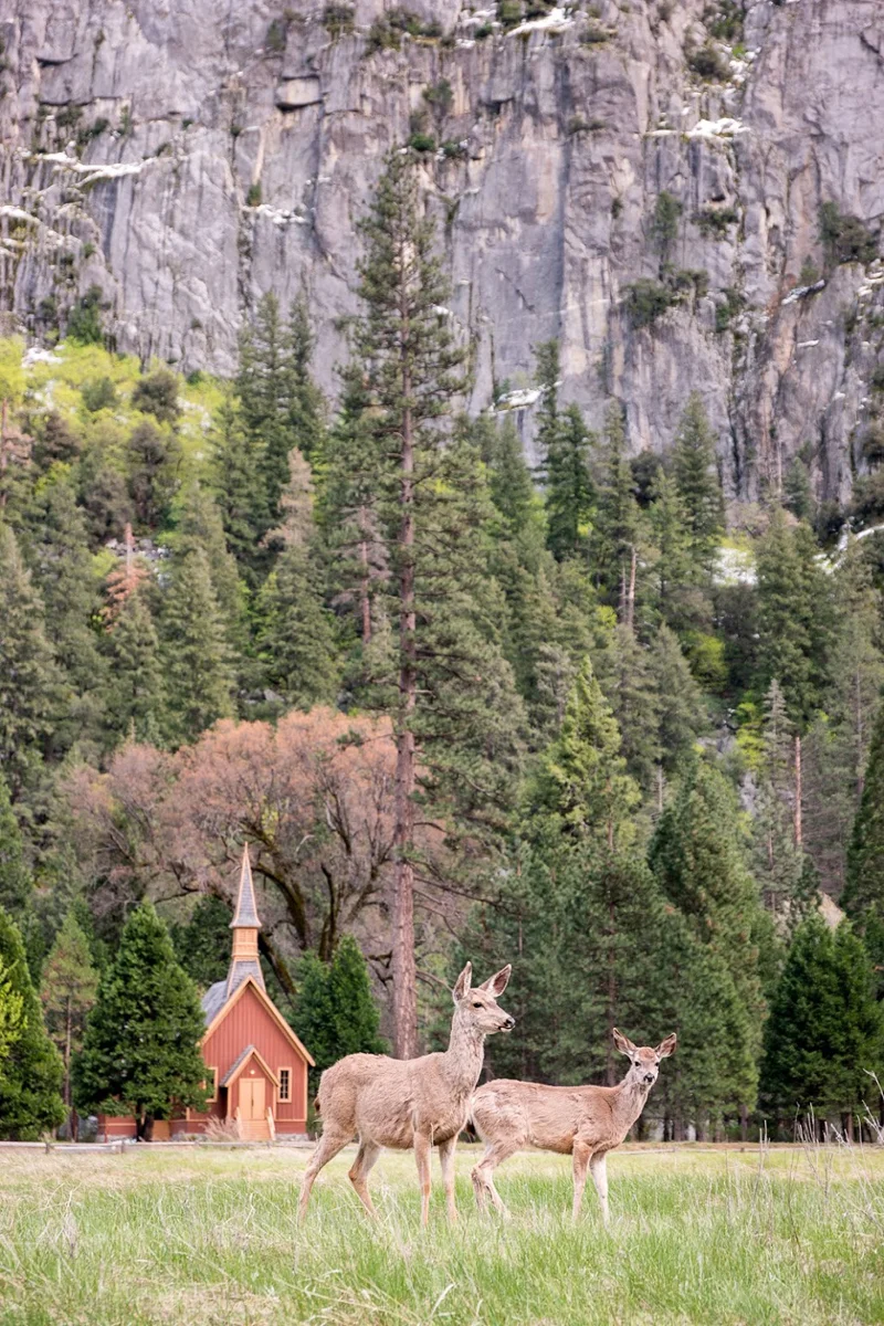
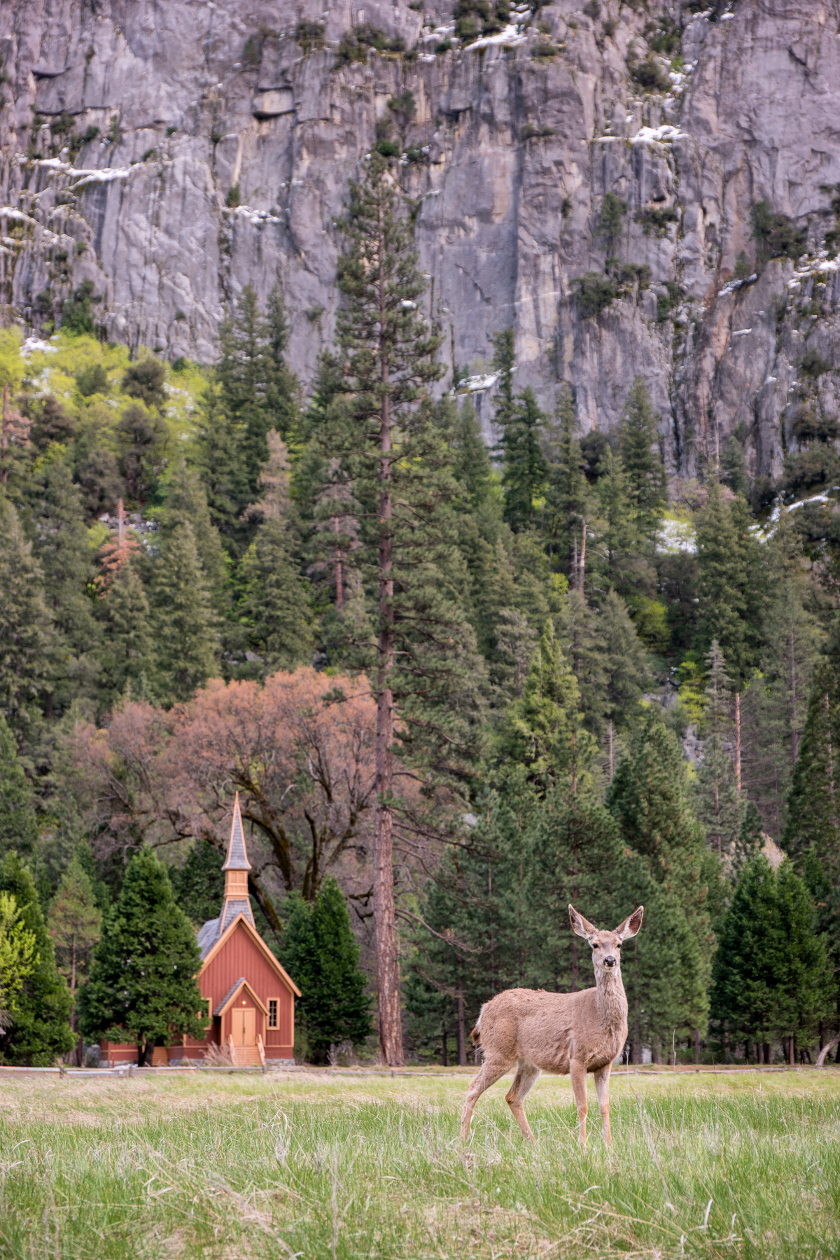
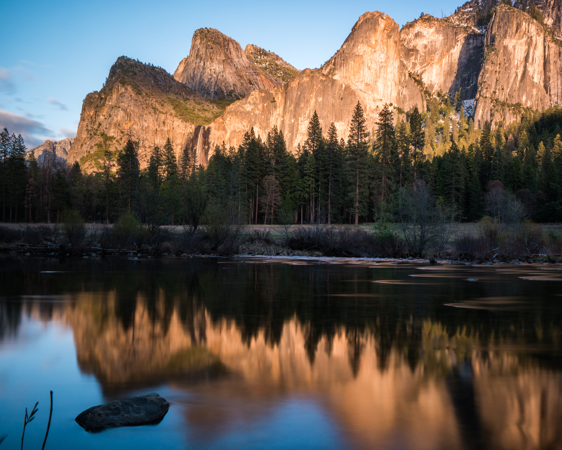
    We began with a quick stop at Bridalveil Falls before indulging in a leisurely stroll through the meadow across from the village, where I came face to face with a family of deer as they grazed just before the Yosemite Valley Chapel for an impromptu photo shoot as the sun made it’s way behind the valley walls. On our way out of the park, the final rays of sunlight were hitting Bridalveil Falls just perfectly, so we had to stop at the Merced River to snap a few shots on our way out of the valley back to the cabin. Not a bad first day!

    Wasim Muklashy Photography_April 2015_Yosemite_California_Samsung NX1_ SAM_8081_1800px

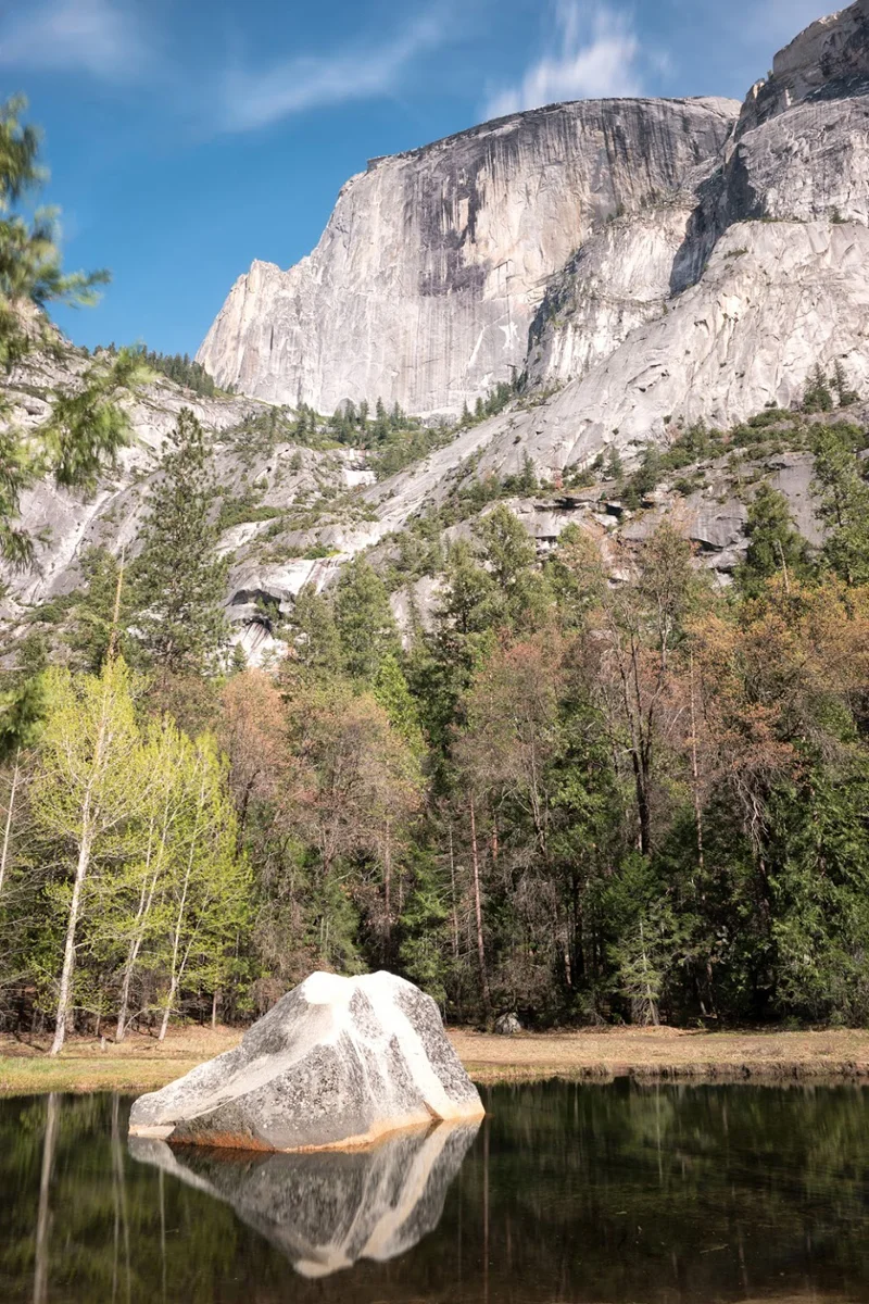
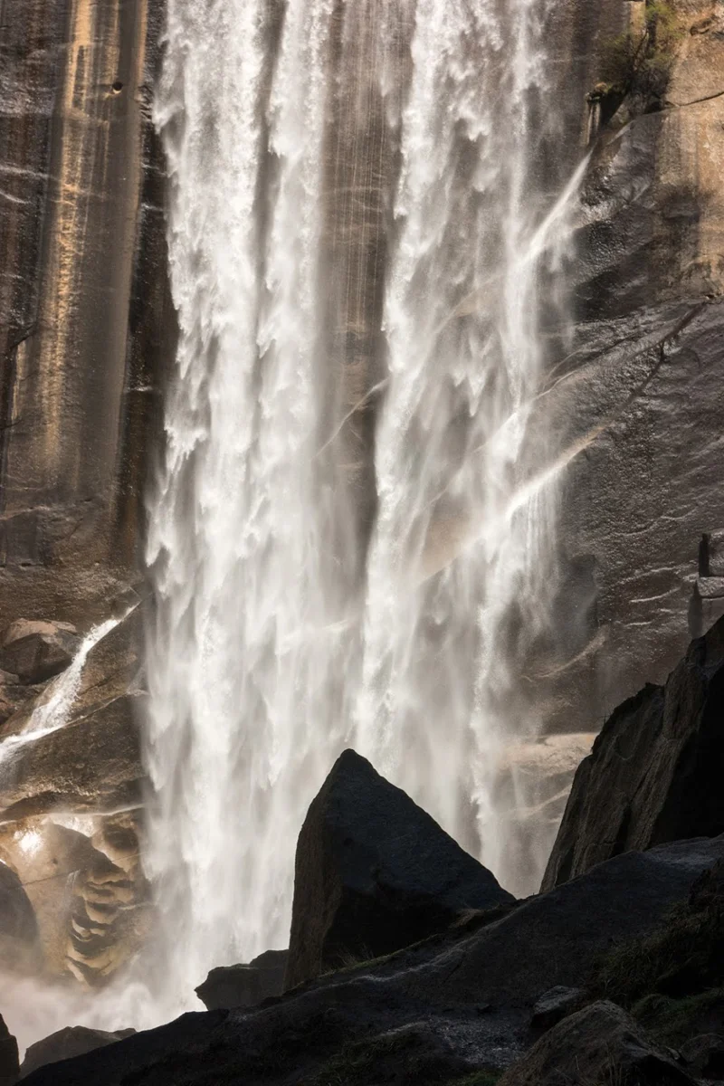
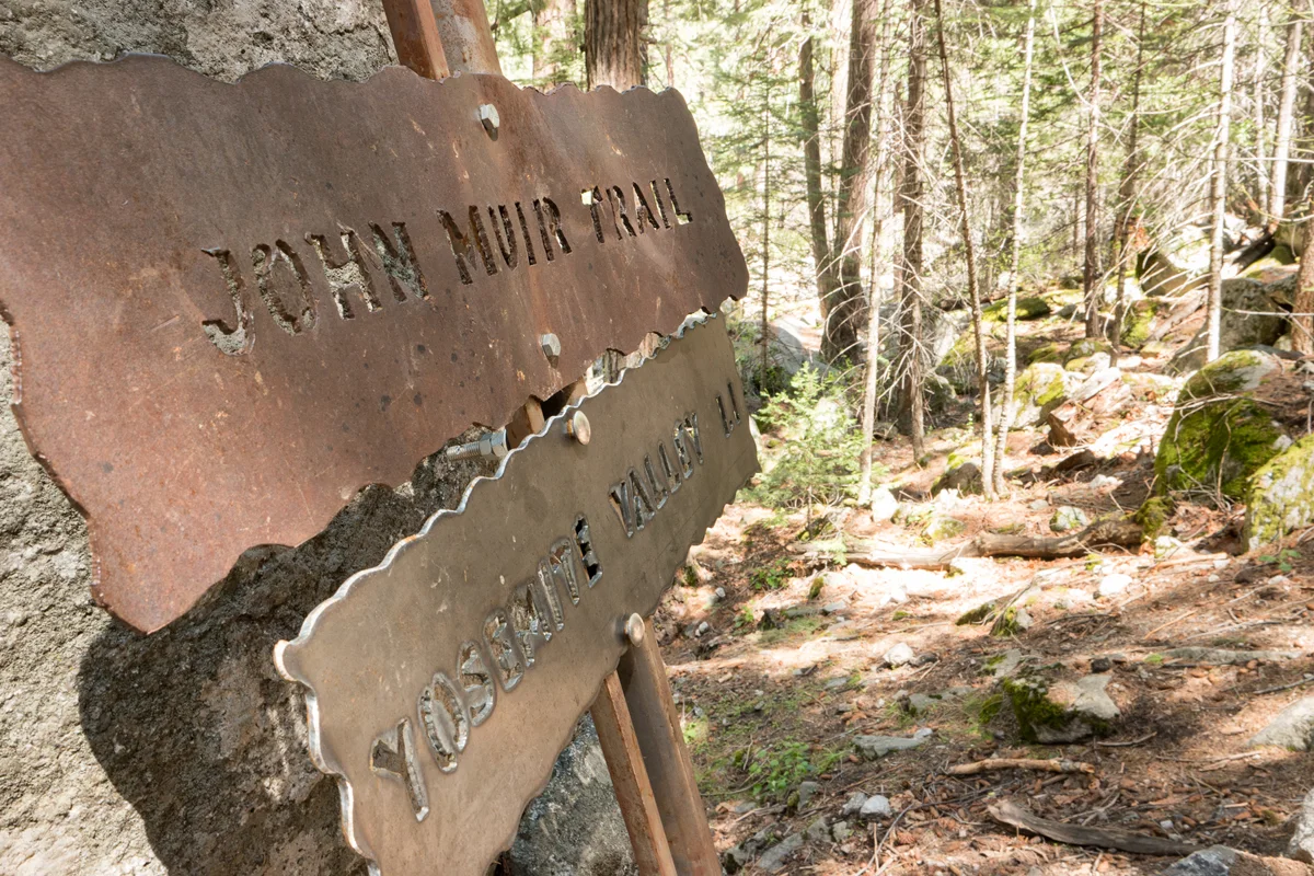
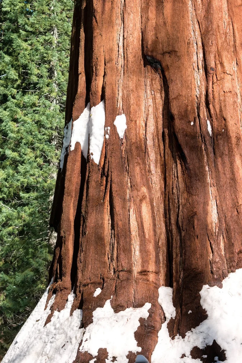
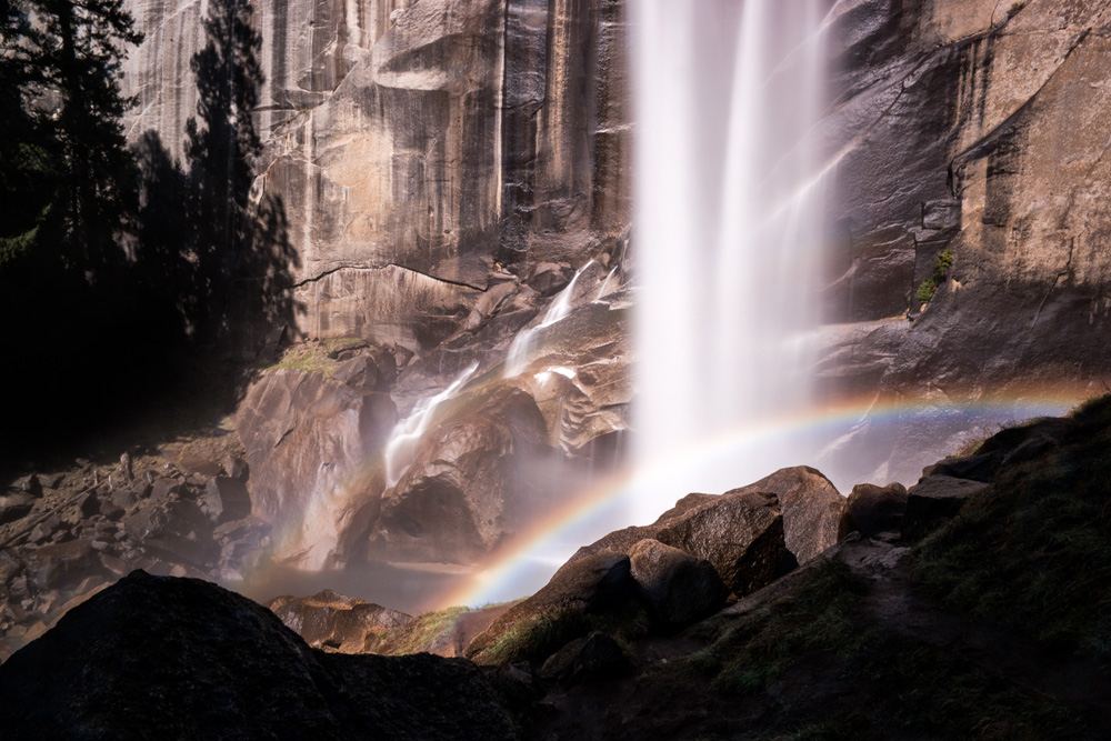
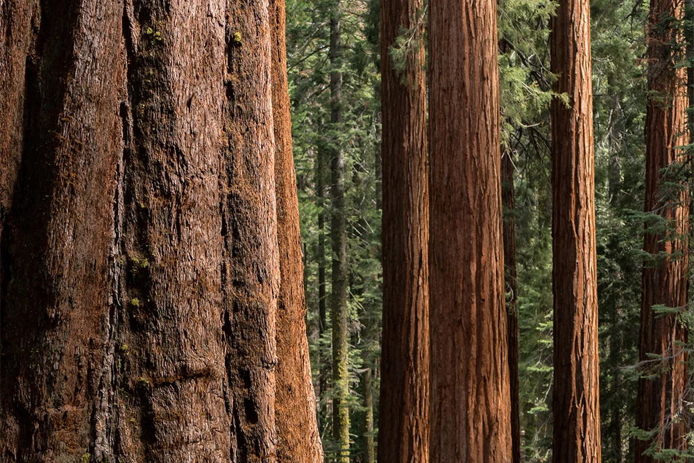
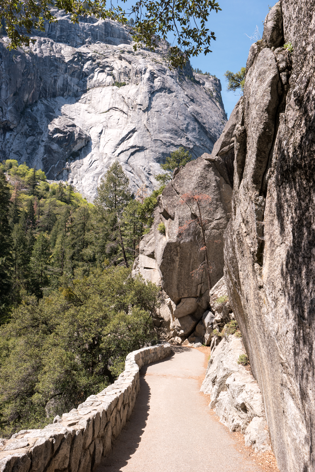
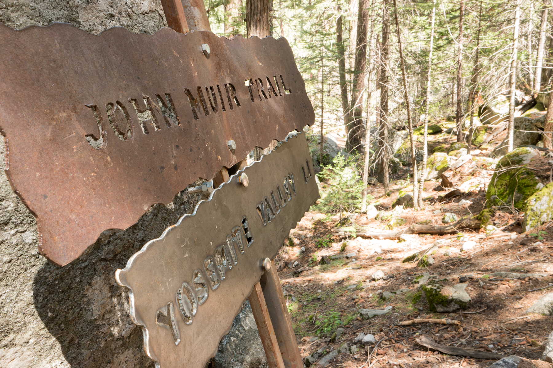
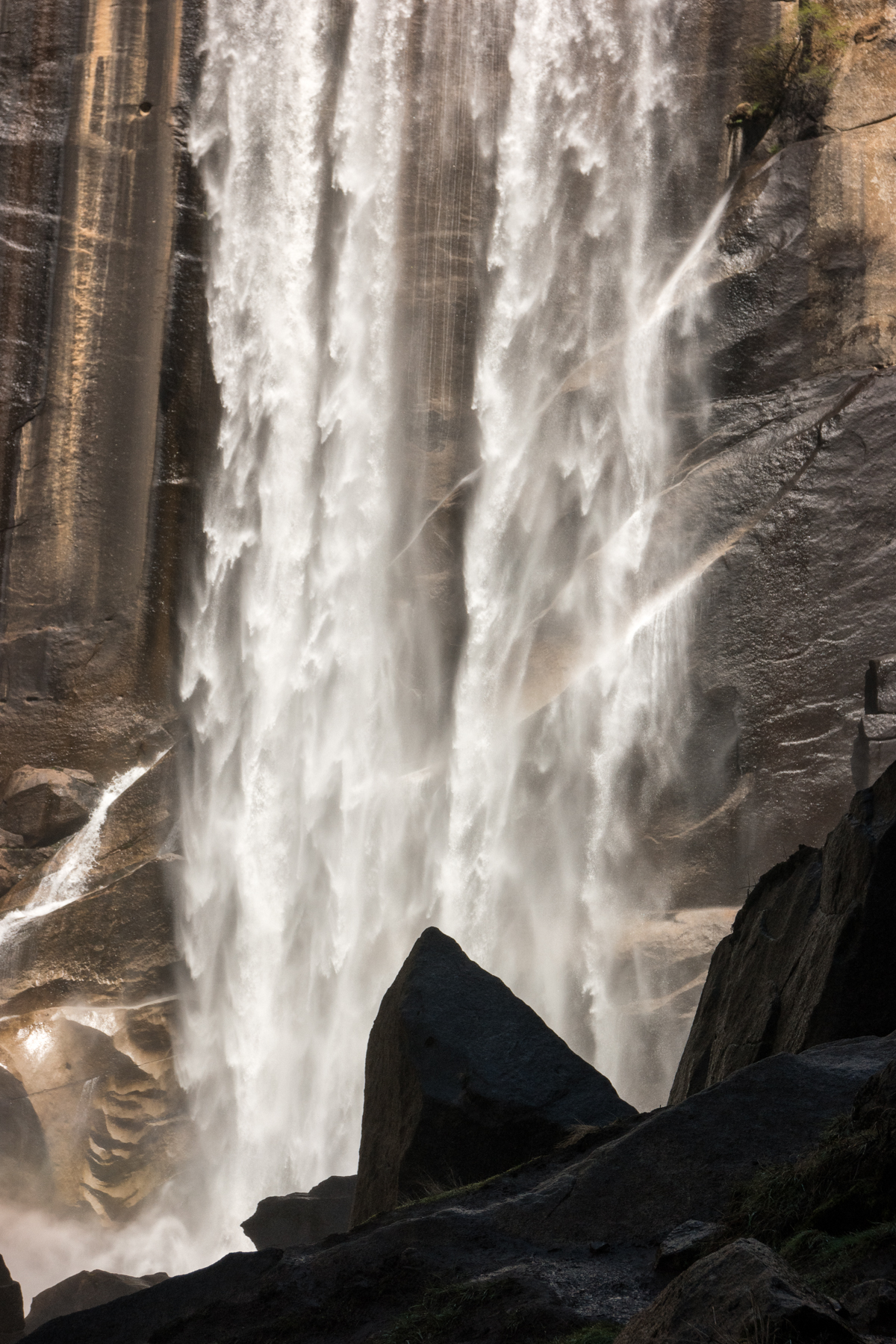
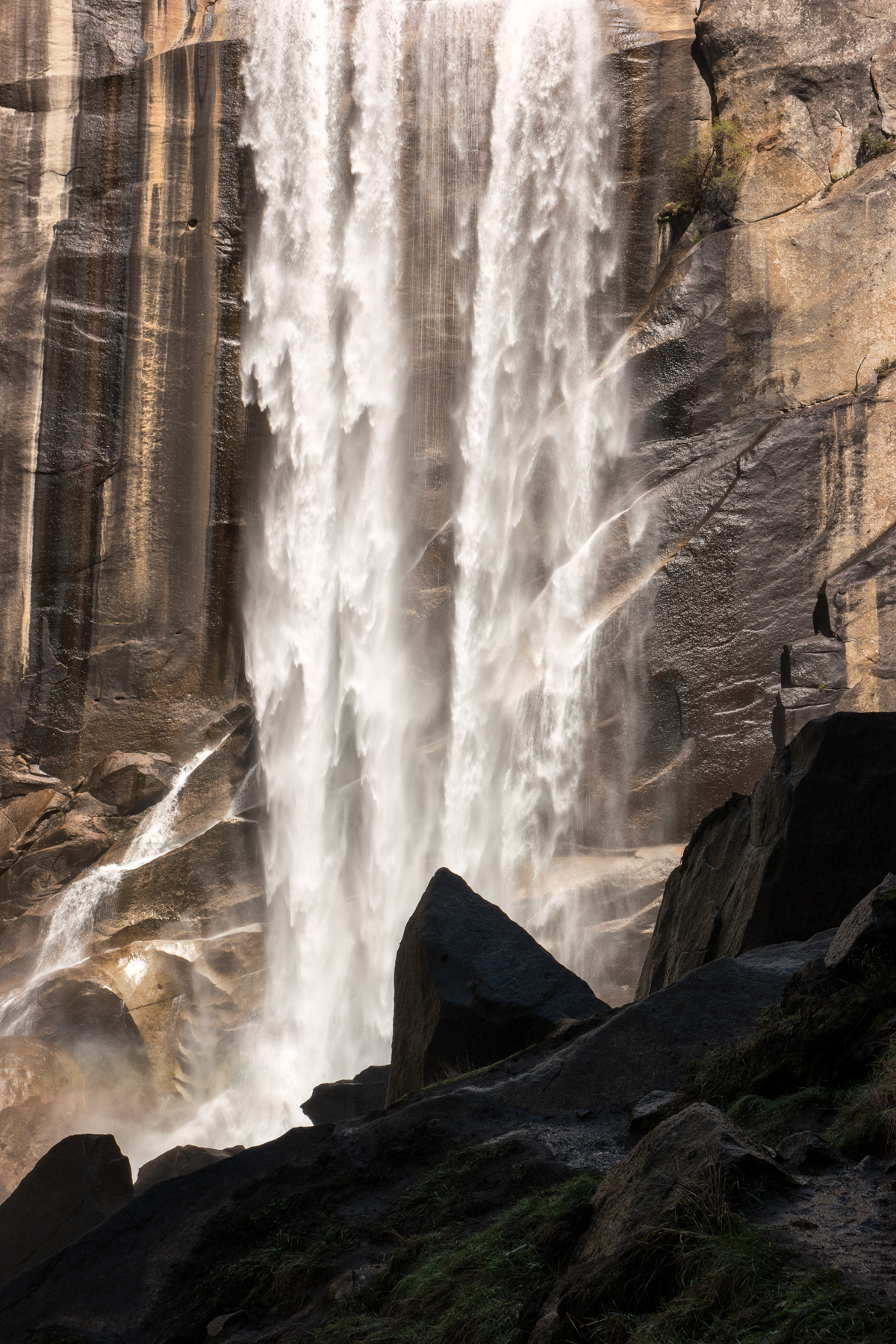
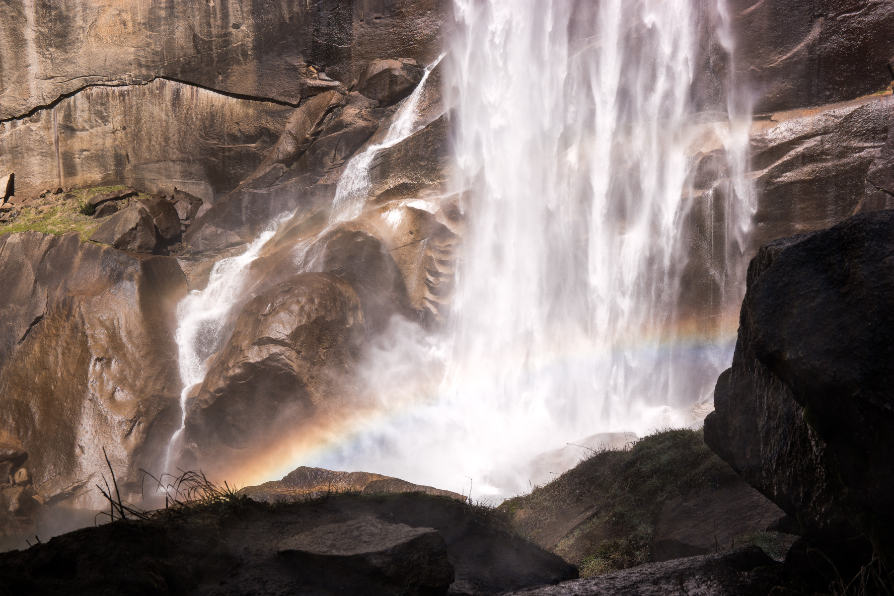
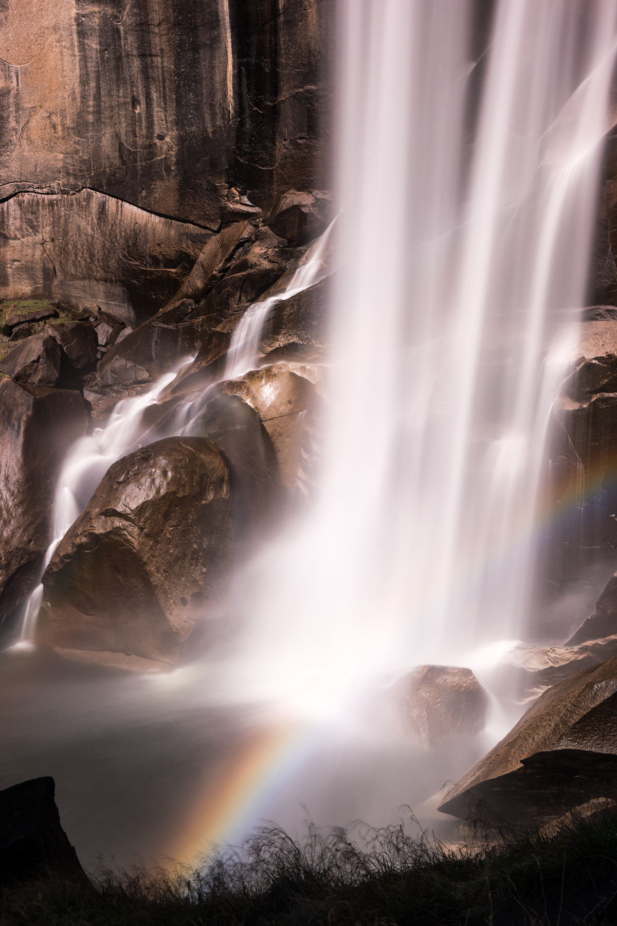
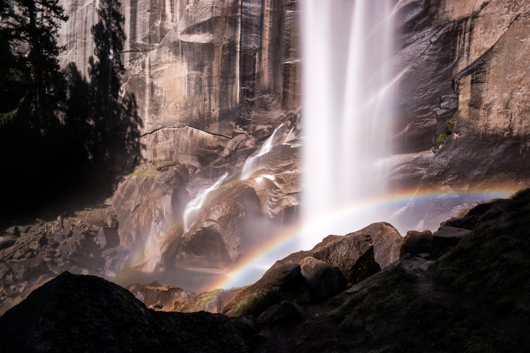
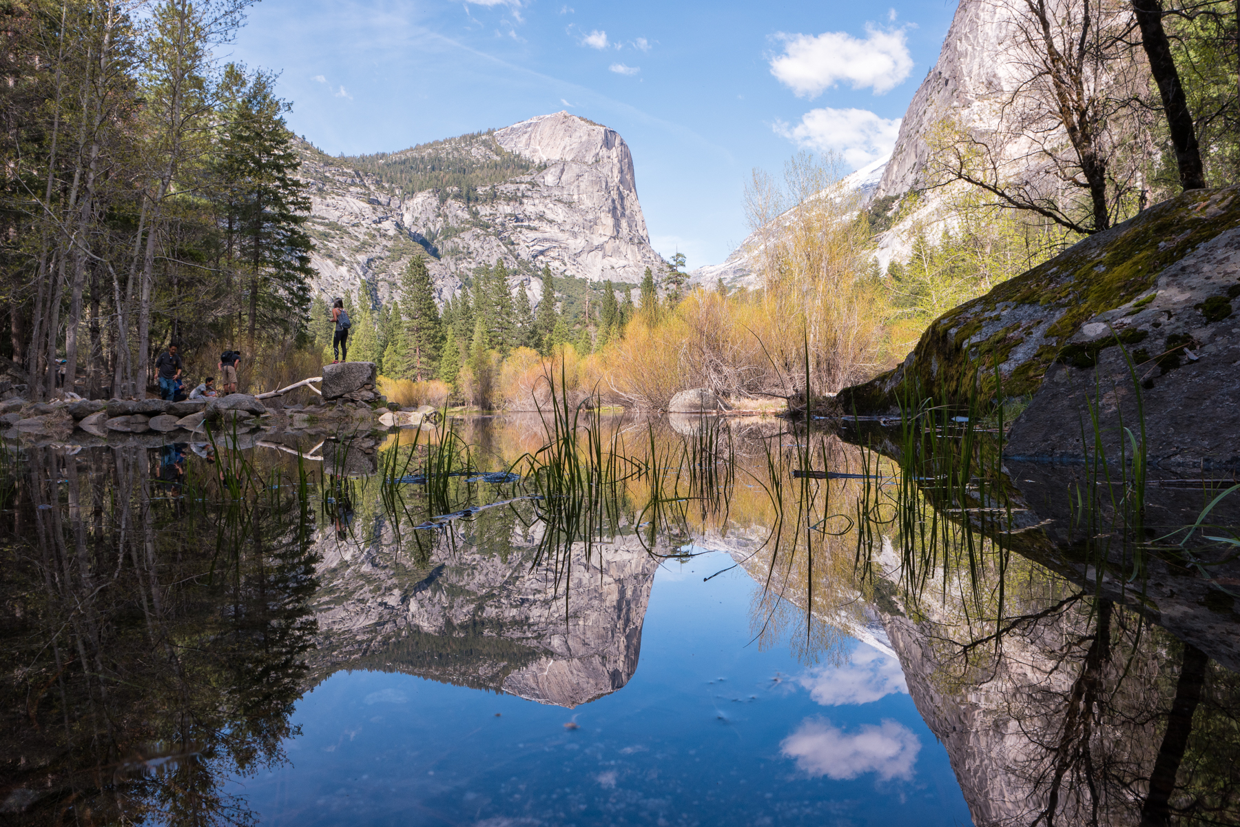
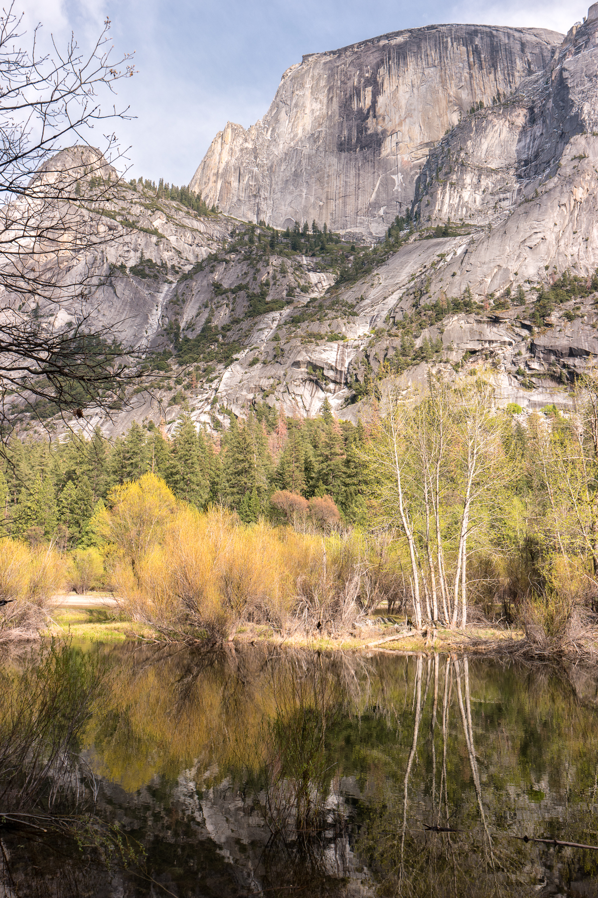
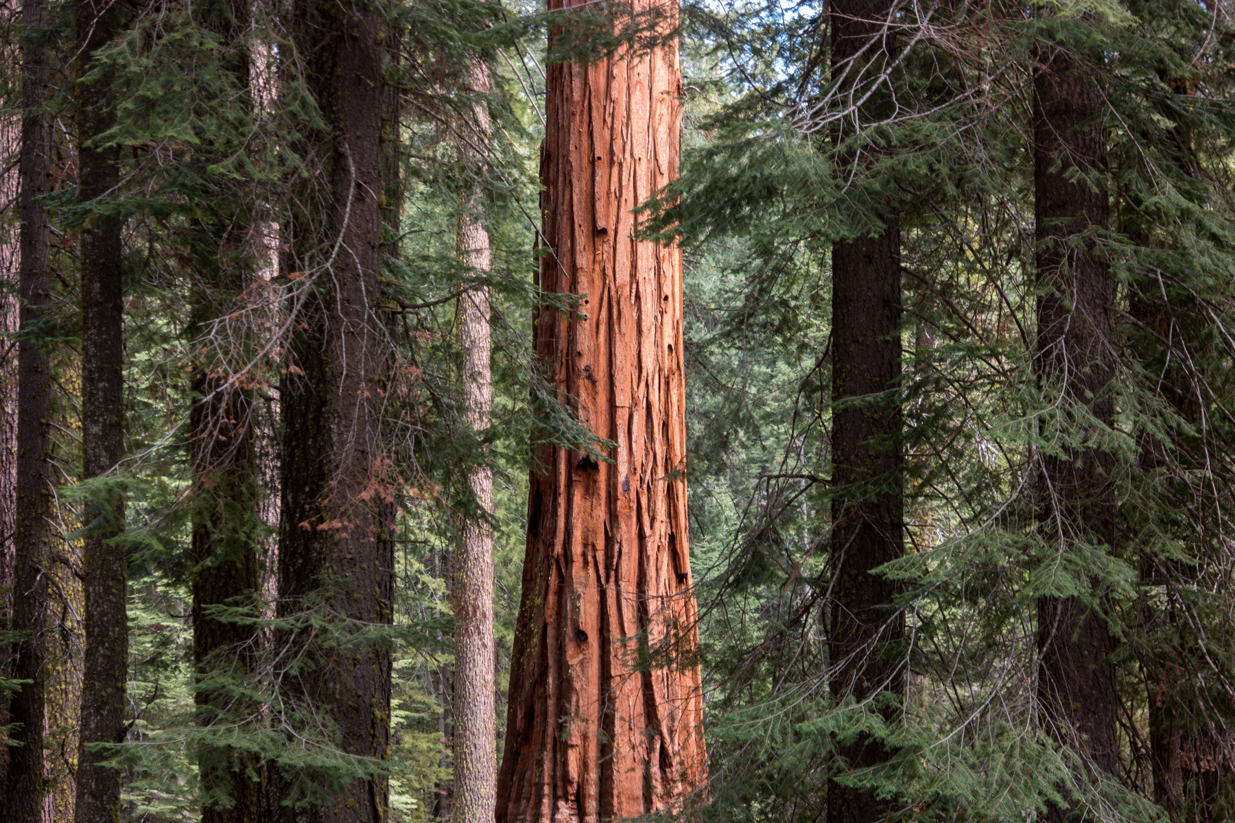
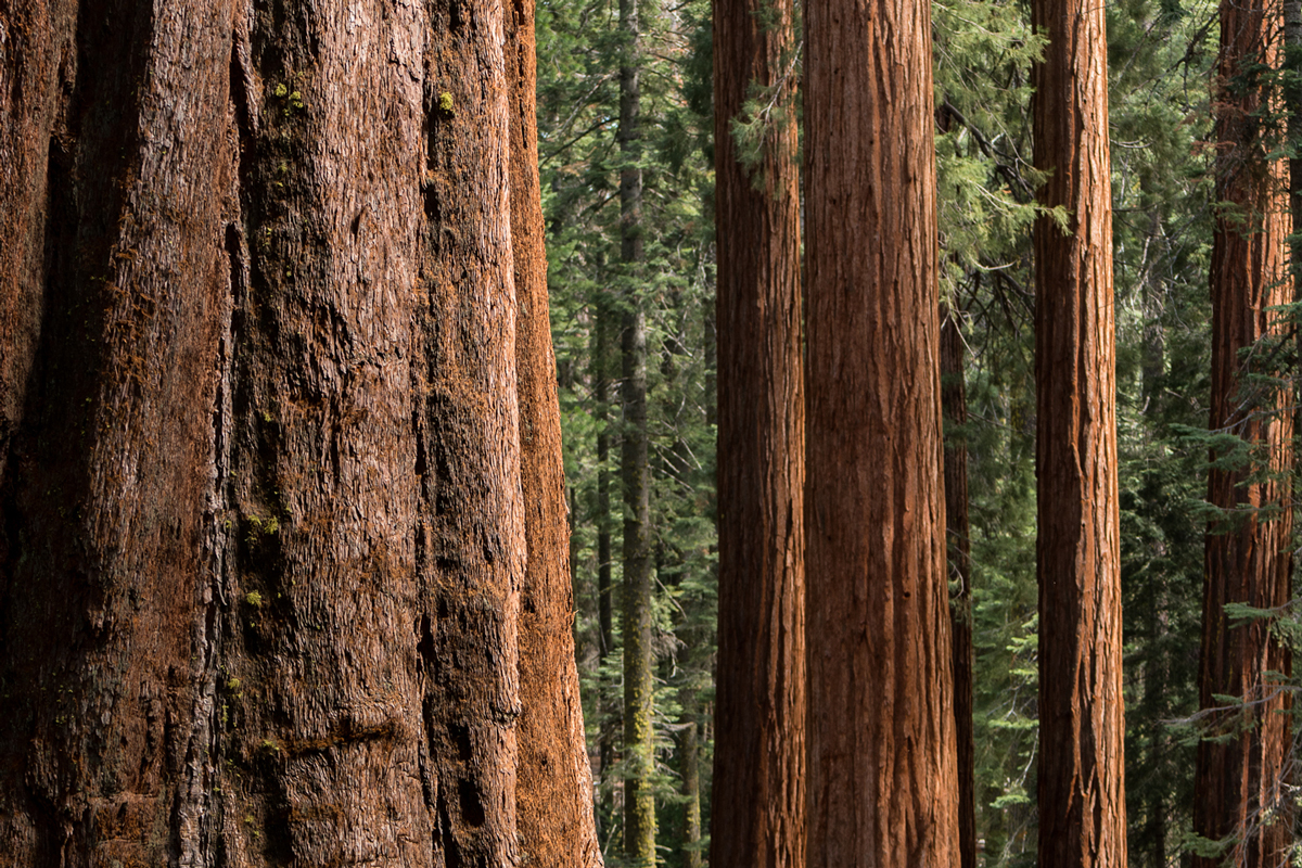
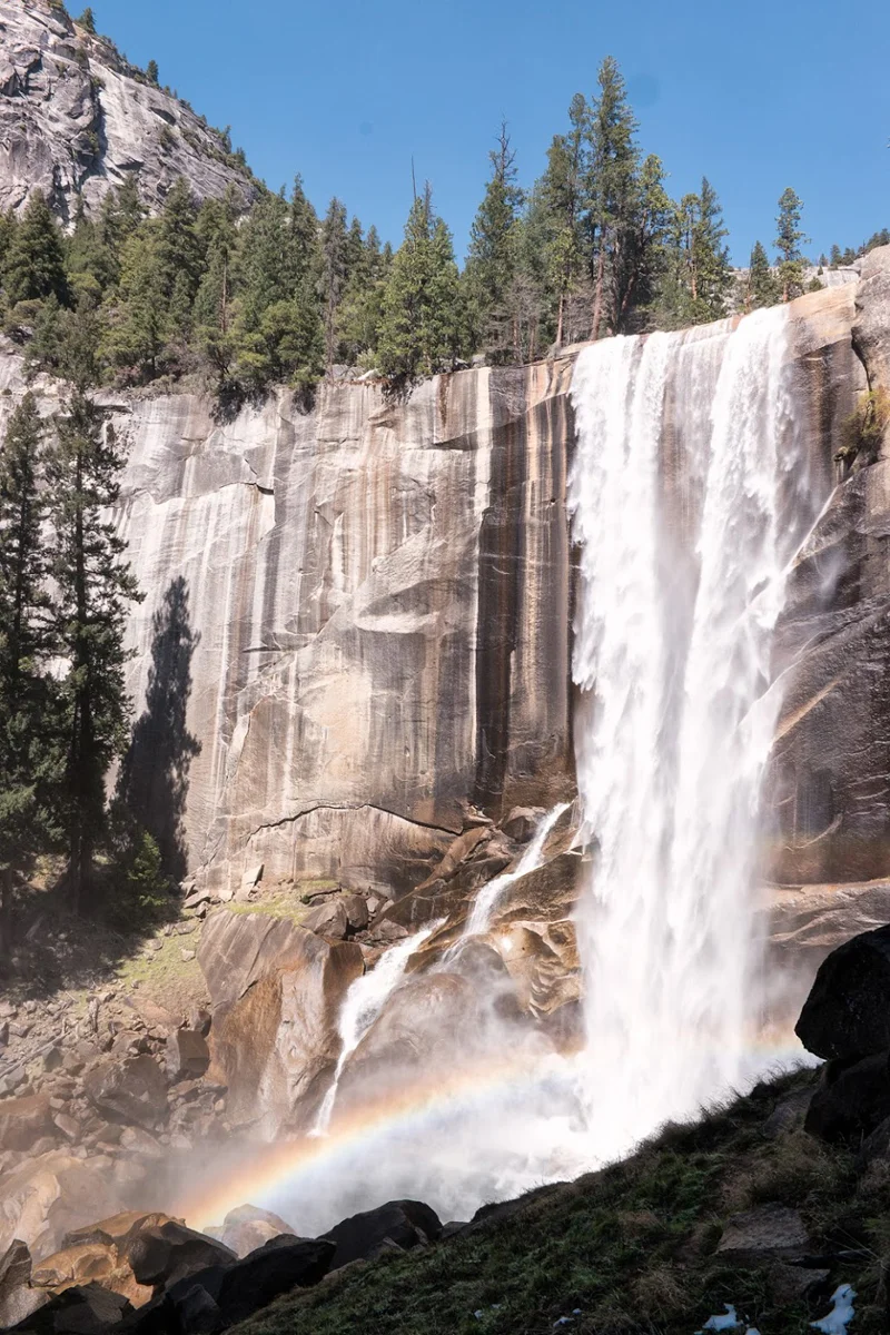
    The next couple of days were consumed with activity after activity that was sure to keep the kids busy and curious. As my cousin and her family biked through the valley, my aunt and I decided to hike our way to Mirror Lake. Then we spent a good half of a day making our way the Mist Trail to Vernal Falls, part of the John Muir trail. The falls were spectacular. We arrived as they were perfectly lit by the early afternoon sun and the perpetual rainbow displayed herself in all her glory. We then strolled through Mariposa Grove, where giant sequoias that are as old as Jesus, some of which that had trunks that reached 100 feet wide and that have survived close to 100 fires, towered proudly above us all.

    Wasim Muklashy Photography_April 2015_Yosemite_California_Samsung NX1_ SAM_8199_1800px

    Wasim-Muklashy-Photography_April-2015_Yosemite_California_Samsung-NX1_-SAM_8288_ForBlog

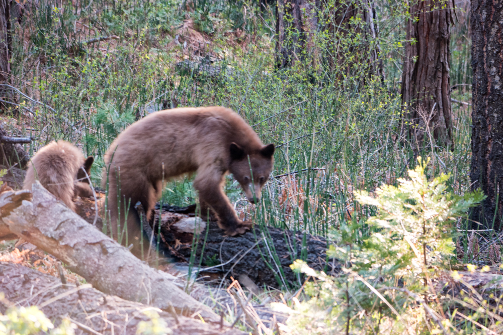
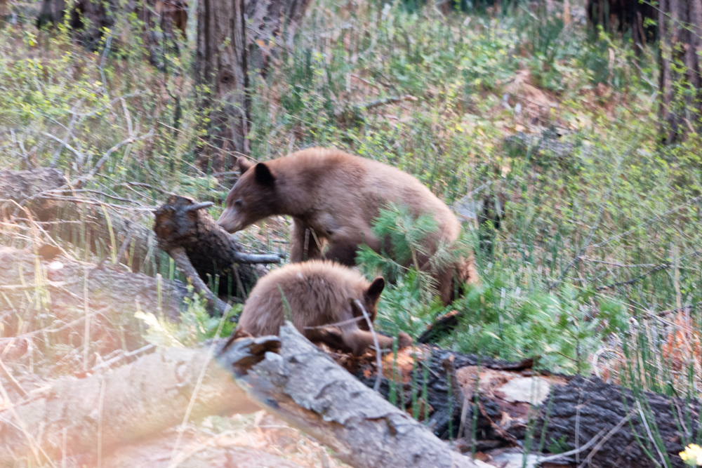
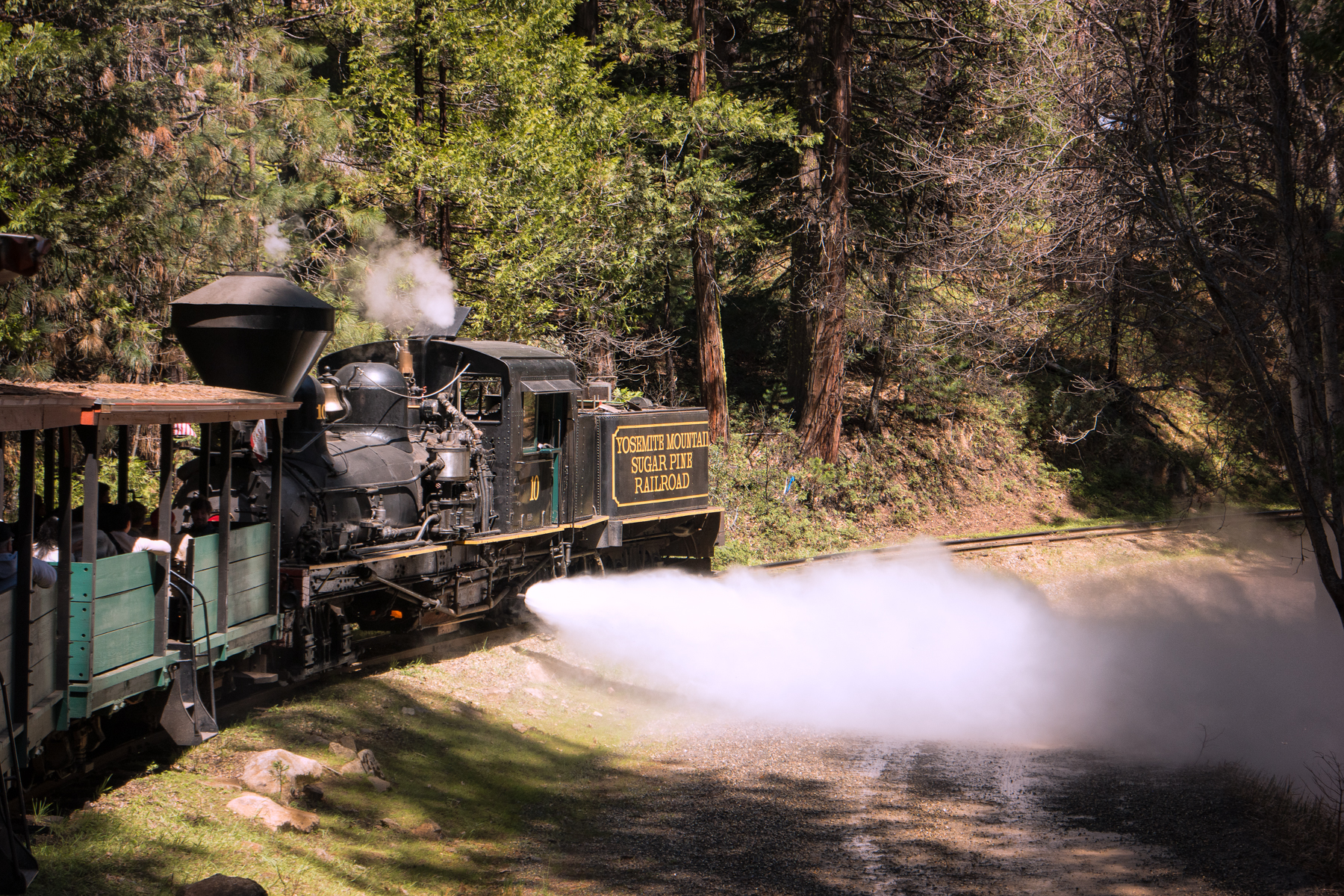
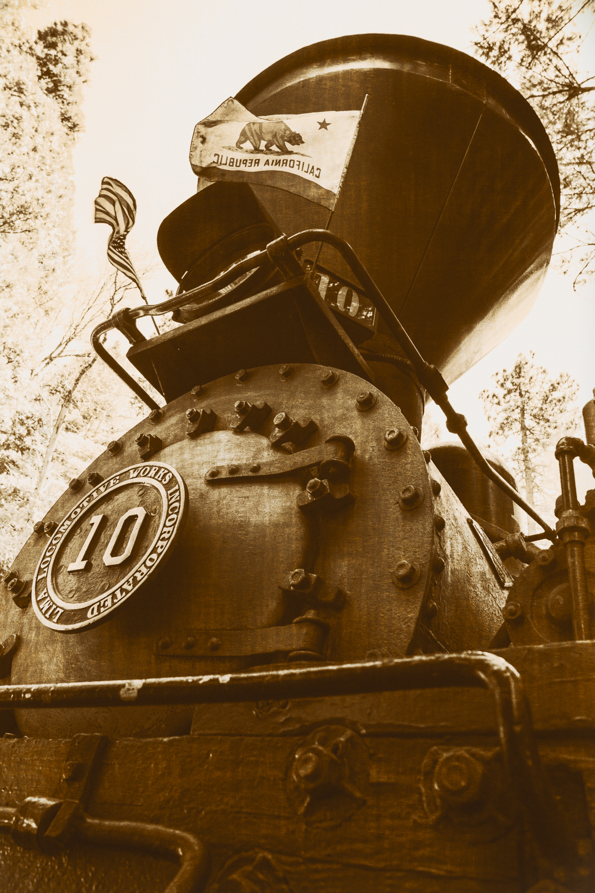
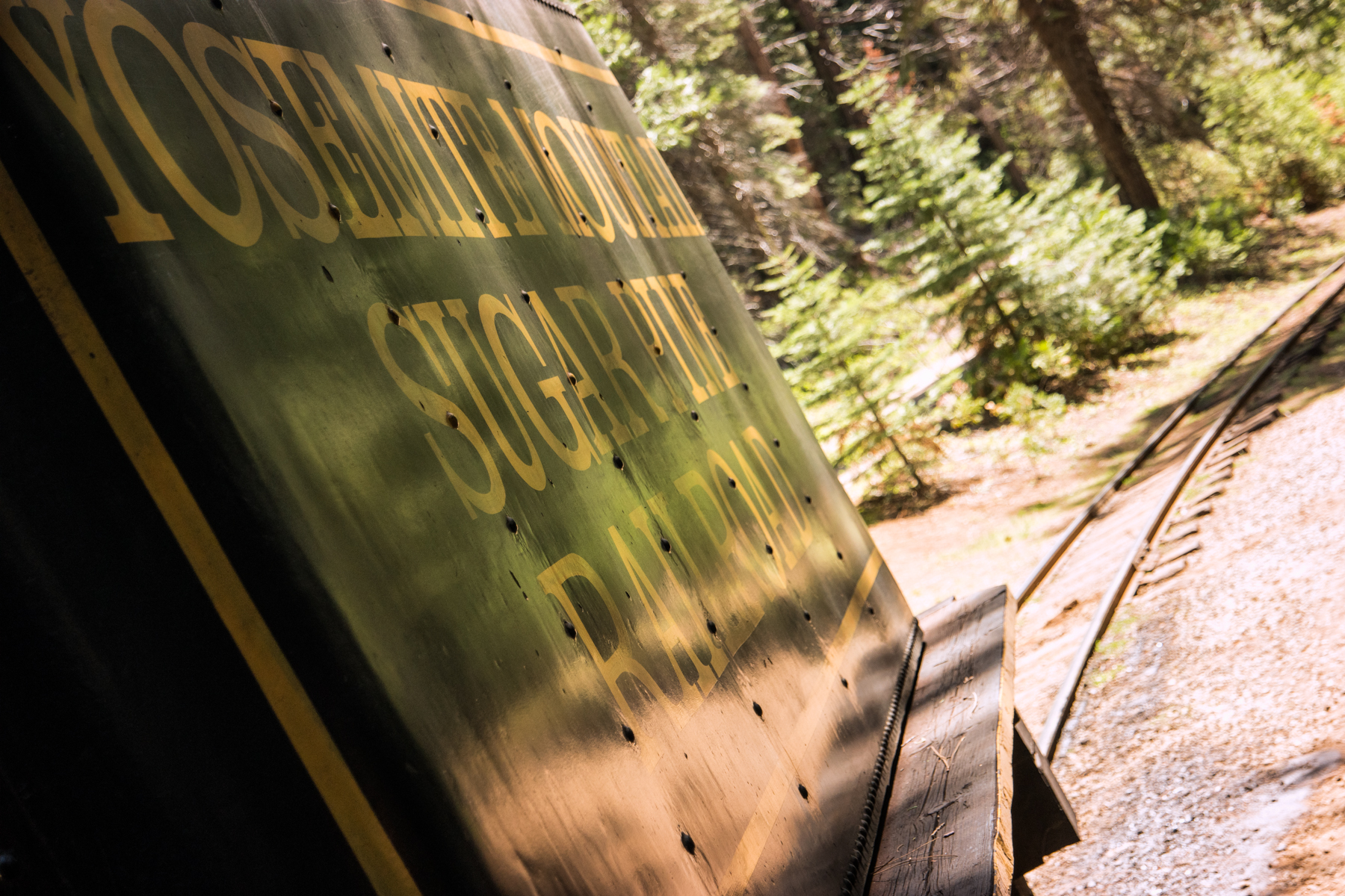
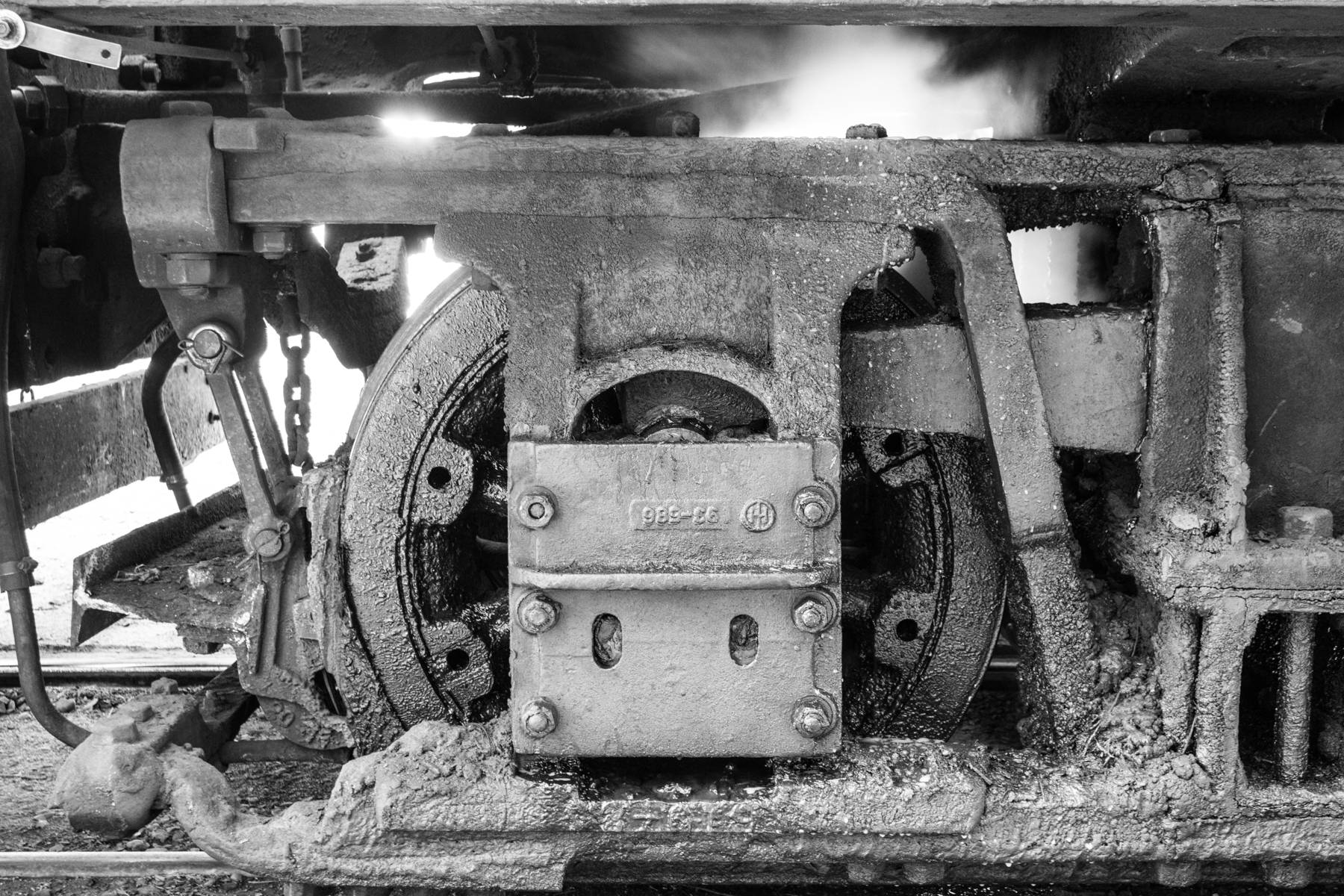
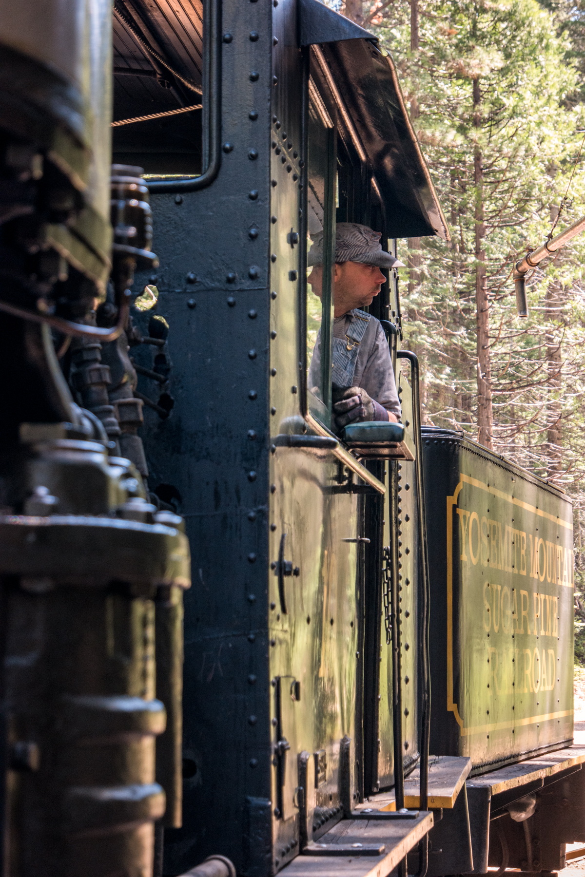
    We managed to make it to Glacier Point two evenings in a row for sunset. The first night we barely made it in time due to missing the turn onto Glacier Point Road, which, actually turned out for the better as this gave us our one and only bear sighting of the trip (I apologize in advance for the blurry picture, but, well, it was the best I could manage given the circumstances and our distance at the time), and to everyone’s delight, my cousin’s older daughter, the 8 year old, practically begged us to return the next night, our final night, for a proper showing. After a relaxing 4-mile ride on the Yosemite Mountain Sugar Pine Railroad‘s #10, the largest narrow gauge Shay steam train every built, we gladly obliged.

    Wasim Muklashy Photography_April 2015_Yosemite_California_Samsung NX1_ SAM_8379_1800px

    Anyhow, needless to say, photo opportunities greeted us every step of the way. Below is a gallery of some of my favorite images from the week, all of which were taken on either the Samsung NX1 or the new Samsung NX500, their latest 4k shooting mini-beast. That video below? Yup…shot on the NX500 with it’s kit 16-50mm PowerZoom lens (make sure to hit that little gear thingy icon and choose 4K). And to check out Stephen Chiang’s captures, many of which showcase his family and children in a very heartwarming and uniquely idyllic way, check out his Instagram feed. That’s one you’ll want to follow.

    So yeah, I know, I said I’d try to go easy on the words, but…well…uh…yeah…

    Canvas prints of some of these are available on my Crated site or my Fine Art America site. If you don’t see the one you like, please don’t hesitate to contact me and I’ll prepare it for print for you.

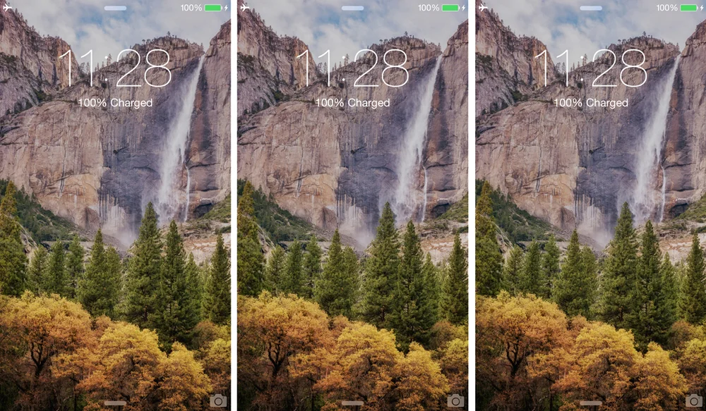
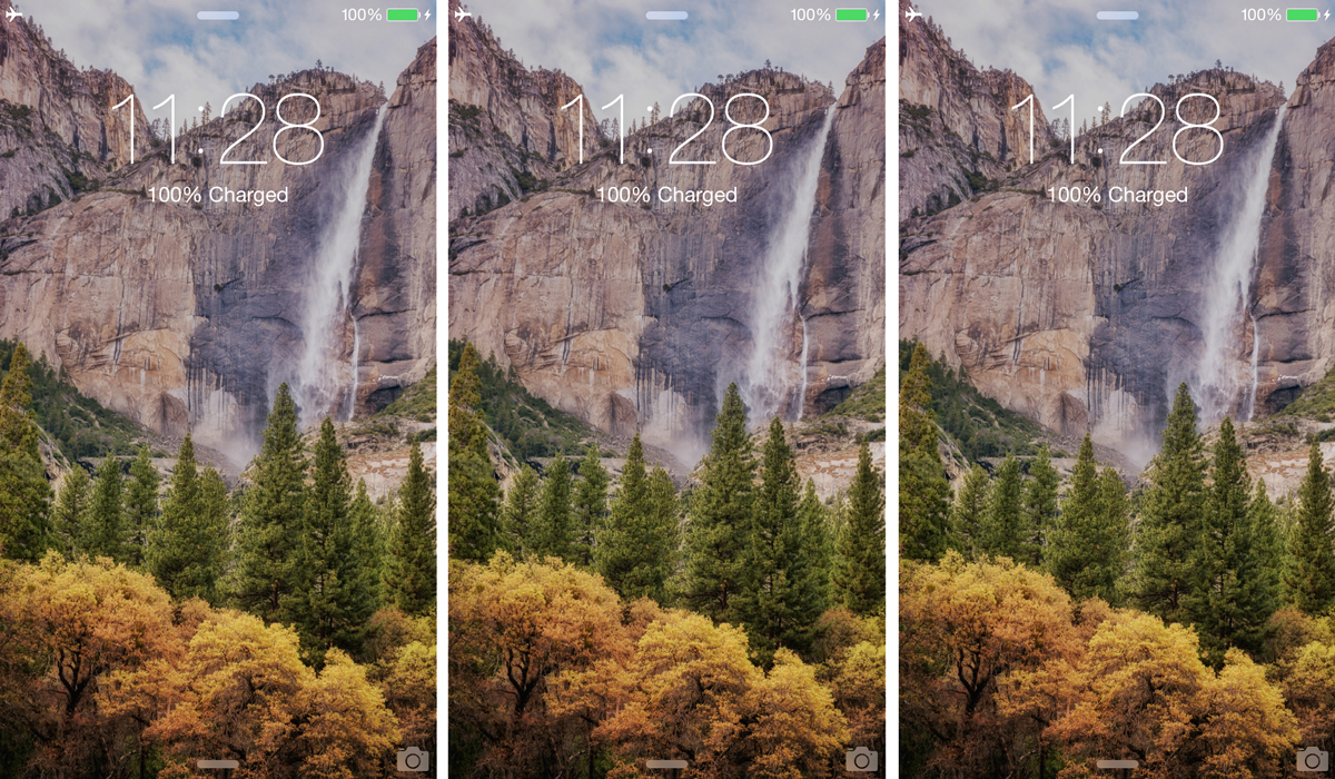
    Also, click here for a background wallpaper for your mobile devices from that trip.

    For more blatherings and nonsensical incoherencies: Instagram: @wasimofnazareth Ello: @wasimofnazareth Google+: +WasimMuklashy

    If you support the kind of work I’m doing and the things I’m sharing, please consider ‘subscribing to me’ on Patreon.com. Yup, subscribing to ‘me.’ You can even set the price. Literally, $1 per month if you want. No joke, your little helps me a LOT.
  • A Teaser From Yosemite For Your Phones And Tablets And Things

    A Teaser From Yosemite For Your Phones And Tablets And Things

    Image asset

    I know I’m still not completely caught up on the Sri Lanka adventure posts, but I’ve spent the past week in Yosemite National Park and wanted to throw a lil’ bit of that paradise your way. Here’s an image from Wednesday afternoon in Yosemite Valley, just as the sun began it’s descent. I dropped the sucker in as my background and wanted to share it with you. Here it is in case you want it. Just CLICK HERE for a high enough resolution version sized for your phones or tablets.
    I’ll be posting more words and images from this trip, as well as the conclusions of the Sri Lanka voyage, soon. Until then, if you want more things, here’s some stuffs and whatjiggernots:

    Instagram: @wasimofnazareth
    Ello: @wasimofnazareth
    Google+: +WasimMuklashy

  • A Spontaneous Excursion Up Pacific Coast Highway – Part 2: Big Sur

    A Spontaneous Excursion Up Pacific Coast Highway – Part 2: Big Sur

    Image asset

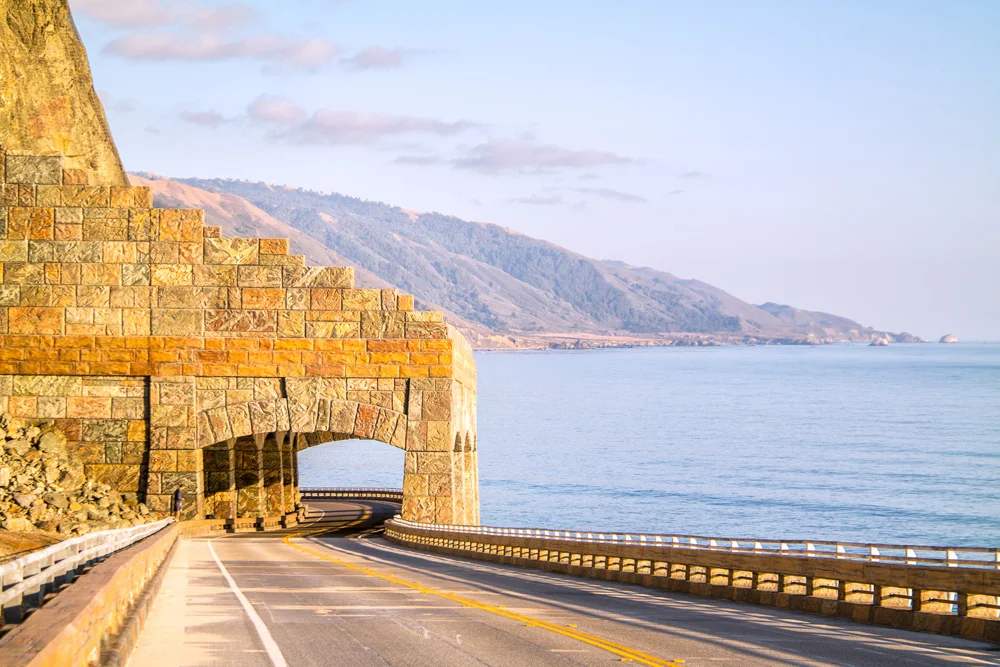
    So after the kayak melee in Morro Bay, it was time for Stephen Chiang, the photographer I was assisting, and I to drive up north to San Francisco for the job the next morning. Put two photographers in a car, give them the choice between A. a straight and direct, but boring route, and B. a windy, curvy, 2-hours-longer scenic route through Big Sur, and, well, you can guess which one they’re going to choose 11 times out of 10. So up the curvy Pacific Coast Highway we went, absolutely one of the most beautiful and scenic drives in the country. As we made our way through Cayucos, then Cambria, we stopped for lunch before PCH opened up along the Pacific Ocean for good from the lowlands of San Simeon (best known for Hearst Castle), all the way up the jagged picture-perfect sparsely populated Central California coastline to and through the majesty that is Big Sur. We pulled over and admired for a while, excited at the fact that just 24 hours from now, we’ll be back here to spend the rest of the week making the tough decisions of frolicking around the grand vistas overlooking the Pacific, or splashing around in this, the largest of the world’s 5 oceans.

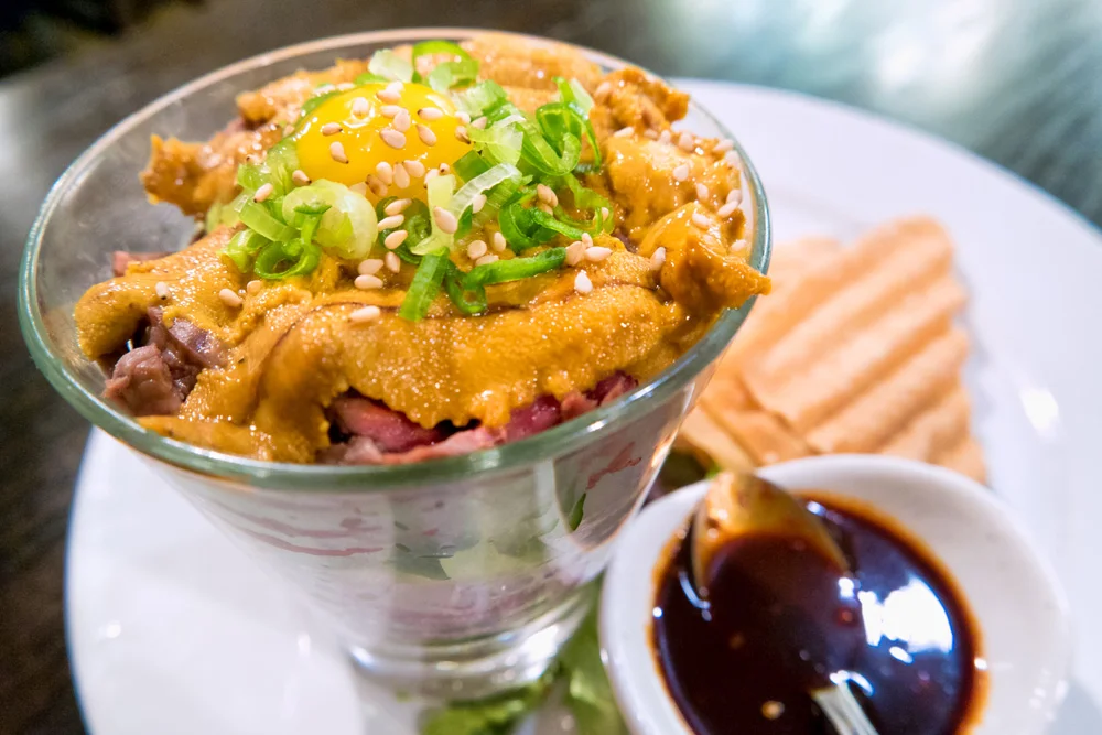
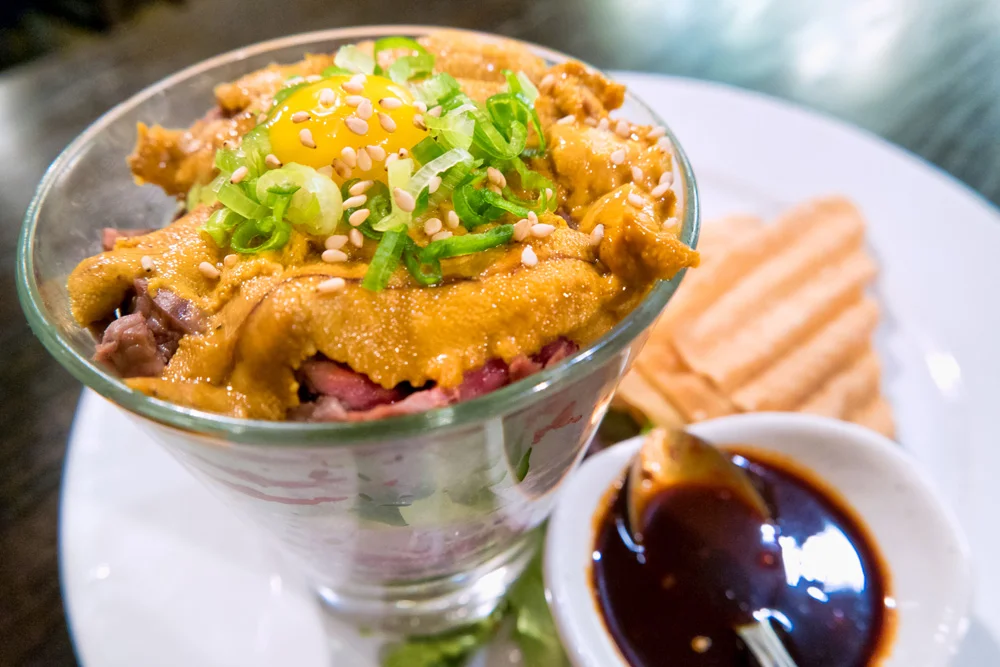
    But first, we had the task of finding dinner and a place to rest our heads for the night in San Francisco for the job in the morning, so we crossed over the famous Bixby bridge, rolled past Monterey and Carmel, made a pit stop in San Jose for my first experience with Yakitori at Gaku Yakitori in San Jose (I ate sea urchin!!! Anthony Bourdain would be proud!). There we used Airbnb.com, found ourselves a place to stay for the night, so after dinner, rolled into San Francisco around midnight. We woke up the next morning to fresh coffee from our host, who just so happened to be the photo editor for Via Magazine, an edition of the Automobile Club publications covering the western states, so, well, naturally, we all immediately clicked. (BTW kind Airbnb host, if you’re reading this, I have a feeling you’ll be hearing from us…)

    Image asset

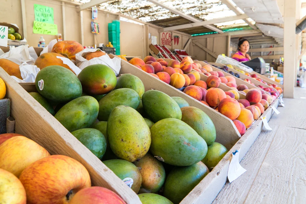
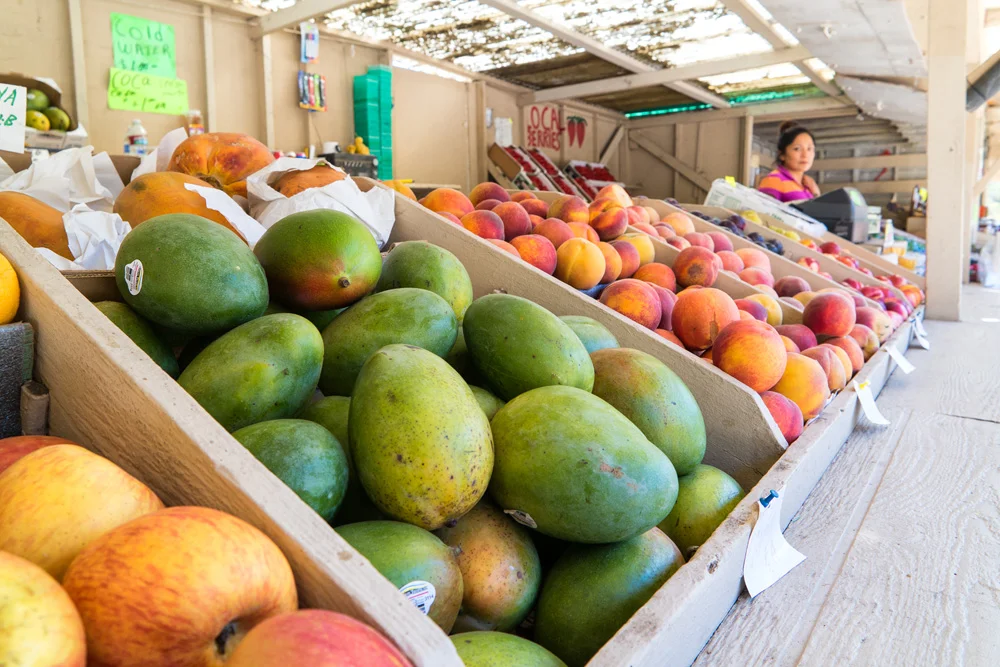
    The work day went suspiciously smoothly. It was a corporate headshot job, and we were in by 10am, out by 3pm. We didn’t even bother to stay in the city, opting to immediately get out, back along the coast, stopped in Pacifica at a roadside fresh produce stand for some snacks and supplies, and proceeded on down to Big Sur, where we were to meet my cousin, my aunt, and the family for dinner at Andrew Molera State Beach campground, our home for the next few days.

    Image asset

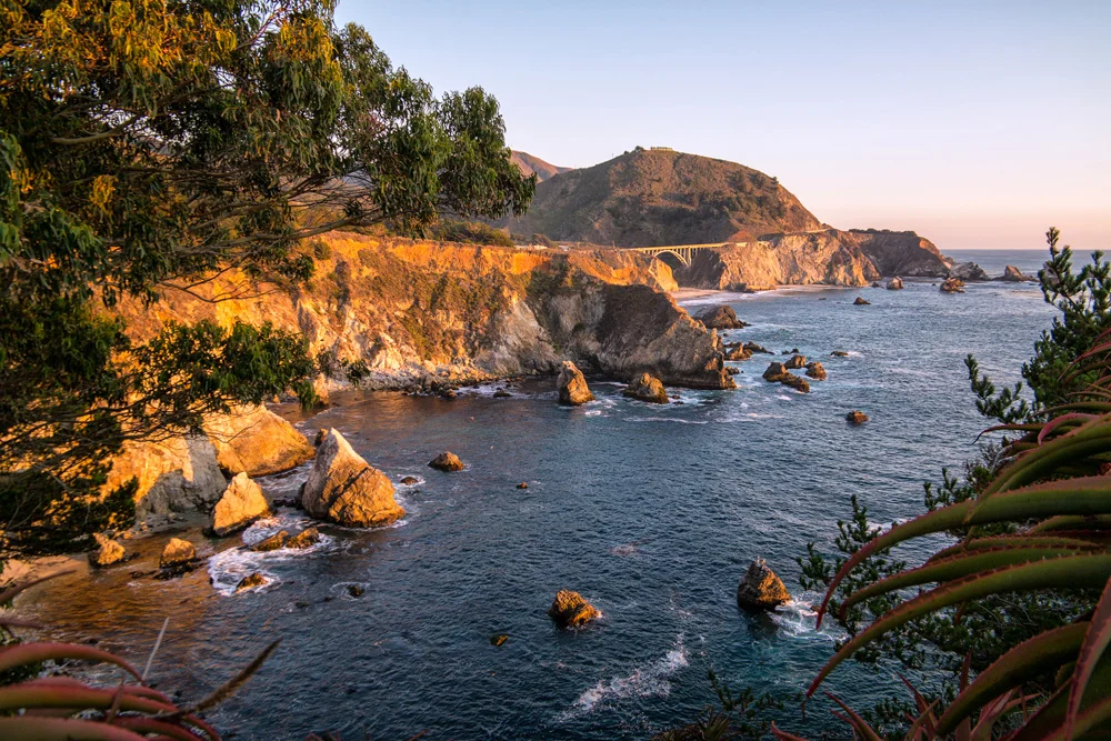
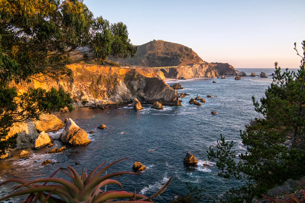
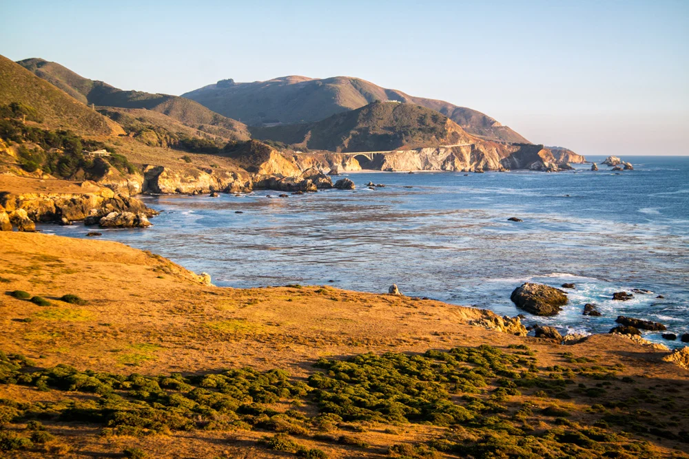
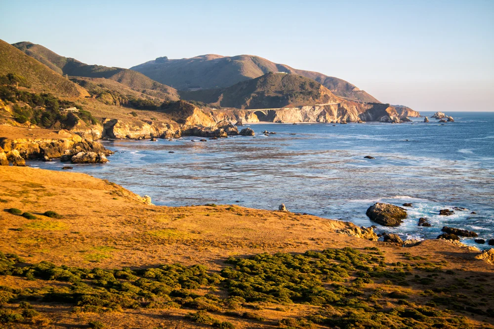
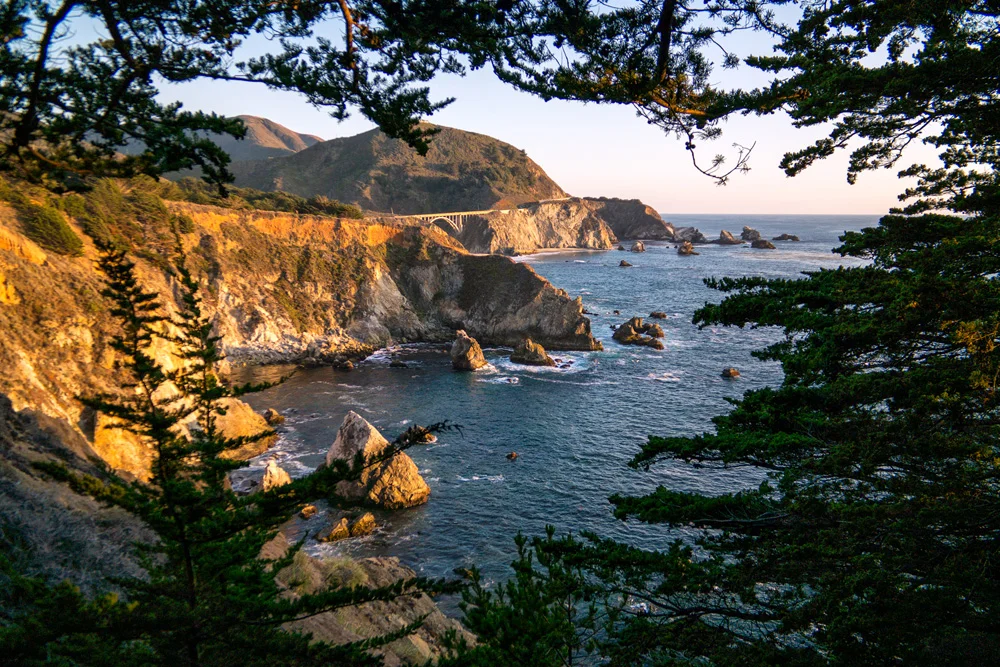
    Luck would so have it (yes, all luck, no planning or rushing to break down the equipment and get out of the city by a certain hour of course), that we made it back to the infamous Bixby Bridge in time to find a few vantage points to get some solid sunset shots. What are the chances?

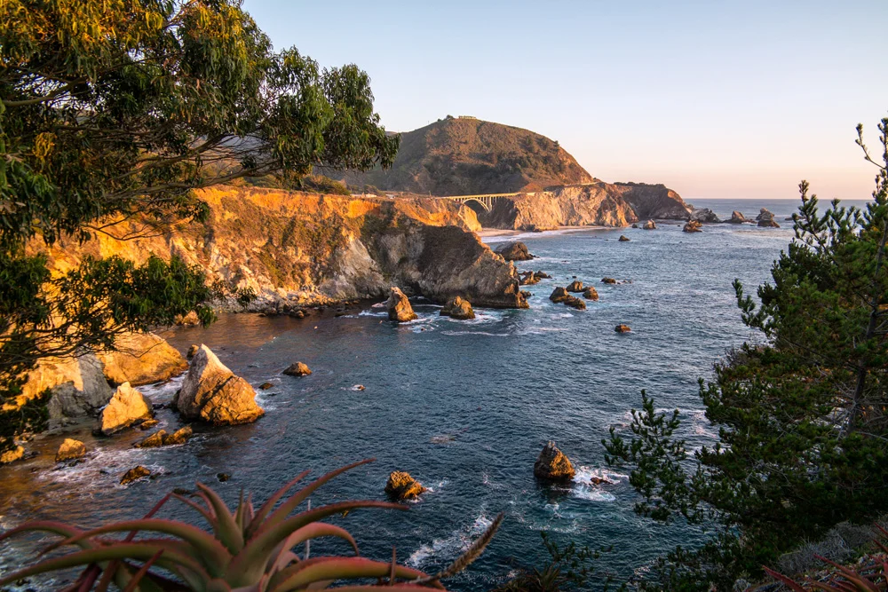
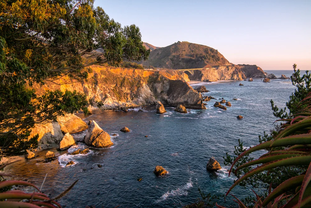
    We pulled along the side of the road at Rocky Point Restaurant, managed to get a few good shots and angles, not a difficult task in a location like this, but something still told us that we should continue on. So we did, and about a mile further down the PCH, we found a small turnout to park alongside what seemed to be a candidate for a perfect overlook. We took a trail along the bluff (extremely careful to avoid the poison oak that seemed to be in full bloom), which ended at the edge of an abandoned property that we didn’t realize until we were already on it. The boarded up house and remains of an old firepit gave it away. But when we turned around, there was no way we were backing off right away.

    This.

    View.

    Was.

    Perfect.

    Image asset

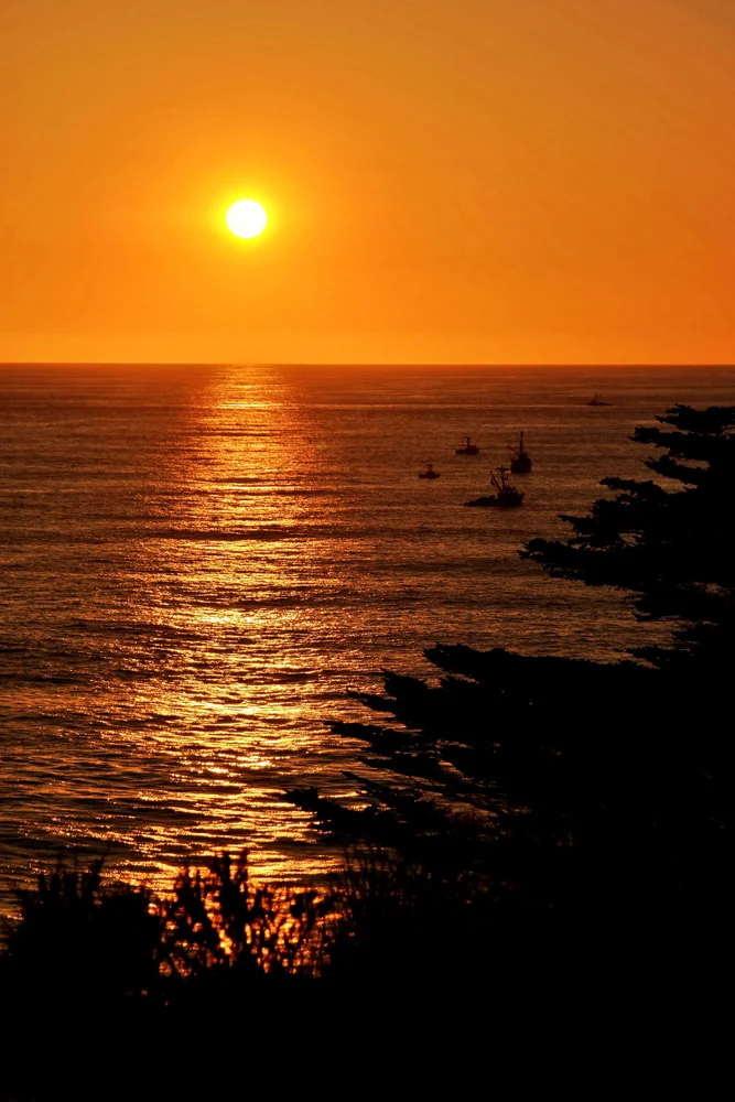
    We spent the next 15 to 20 minutes capturing the last rays of sunlight over the Pacific and shining onto the coastline hugging the Bixby Bridge, turned towards each other with a knowing “that’s why we do this” smile, and walked back to the car.

    Hungry.

    We finally pulled up to Andrew Molera State Park, hiked through a 1/2 mile tree canopy into our campsite where the rest of the family was waiting, burgers already grilling, beers already poppin,’ and hence began our stay in Big Sur.

    Check out the gallery of images from that day and evening below, taken on Samsung NX3000 and NX30 mirrorless cameras.

    Click here for the next part, Part 3: More Big Sur

    And if you missed it, here’s Part 1: Morro Bay

    And for more of my madness, including additional images and edits from this very trip:
    Instagram: @wasimofnazareth
    Google+: www.Google.com/+WasimMuklashy
    Facebook: www.Facebook.com/WasimOfNazareth
    Ello: www.Ello.co/WasimOfNazareth

  • A Spontaneous Excursion Up Pacific Coast Highway – Part 1: Morro Bay

    A Spontaneous Excursion Up Pacific Coast Highway – Part 1: Morro Bay

    Pacific Coast Highway PCH Morro Bay California Part1 07formatoriginal

    It began as a work trip. Well, sort of. I’m finding more and more and more these days I’ll fish for any excuse to leave Los Angeles…just the thought alone gets me excited. So when Stephen Chiang, a photographer friend that I occasionally assist mentioned he needed an assistant for a gig in San Francisco, I jumped at it. When he mentioned it would begin with a night of camping in Morro Bay State Park, and end with 4 nights of camping in Big Sur, that wasn’t just the icing on the cake, that WAS the cake.

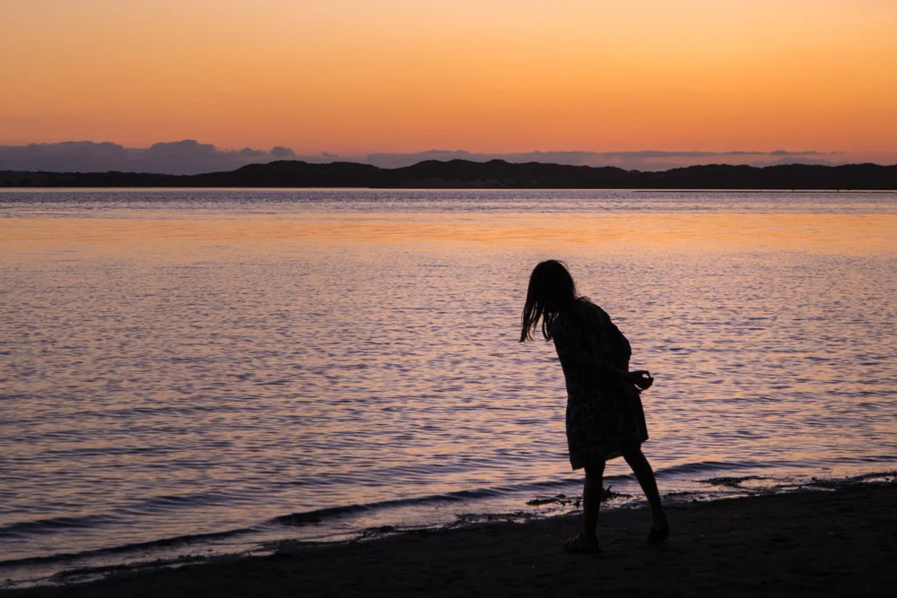
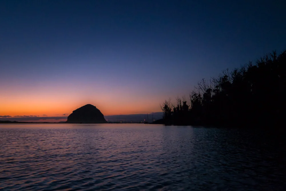
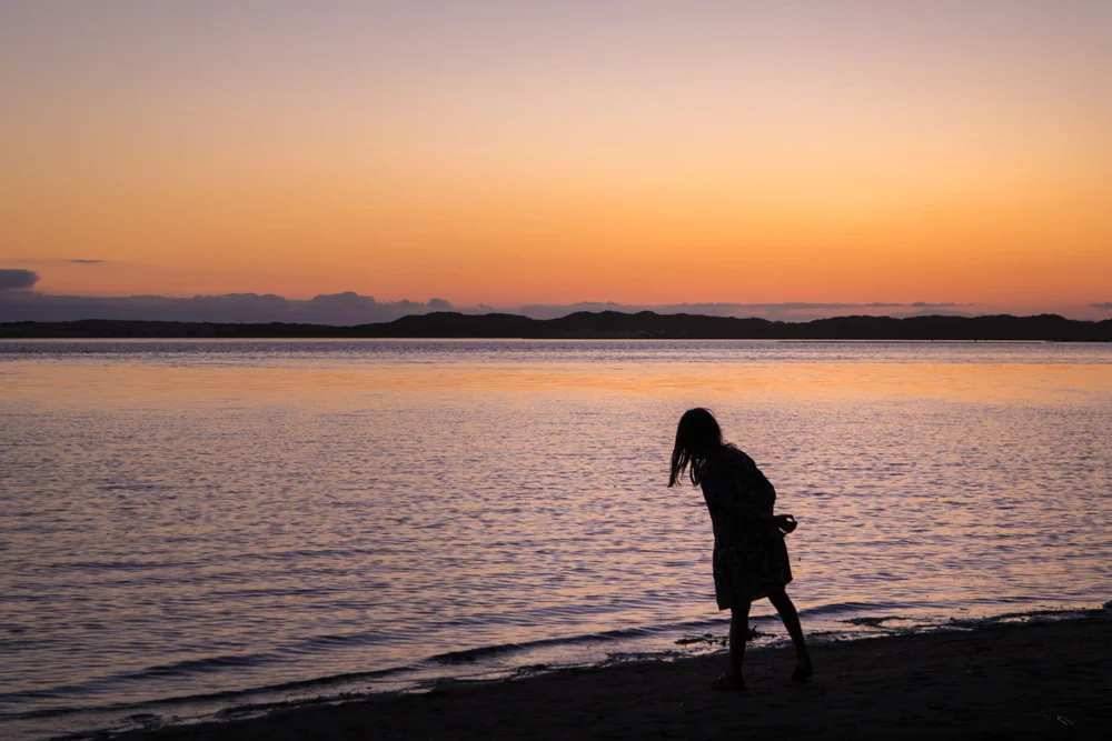
    We hit the road on the Sunday before Labor Day, caravanning with his family (his wife, who happens to be my cousin, their kids, and my aunt), got to Morro Bay, took a walk along the shore for the first sunset of the trip, and then headed down to the village for a seafood dinner at The Galley. Afterwards, we headed back to camp, lit the campfire, shared some scotch and stories, and crashed.

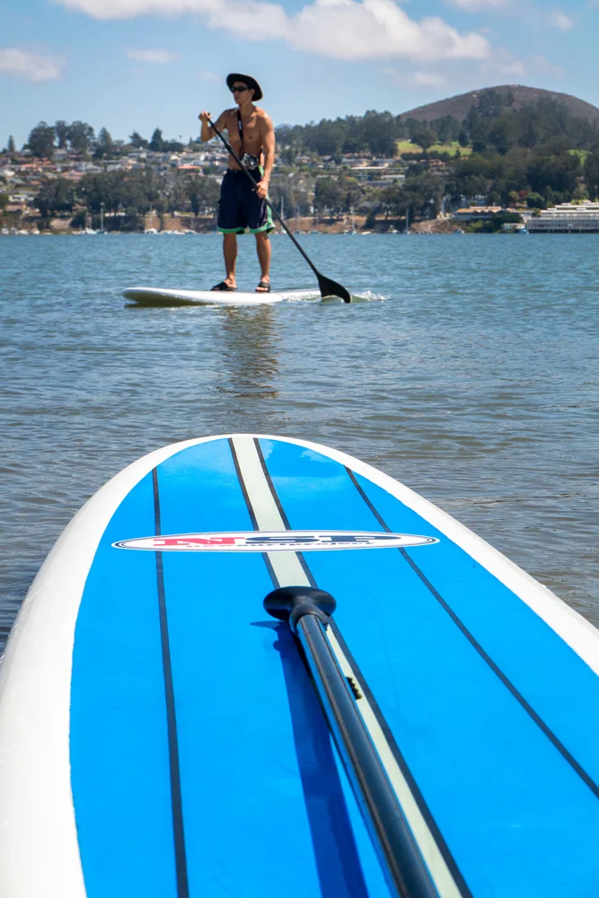
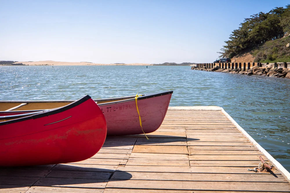
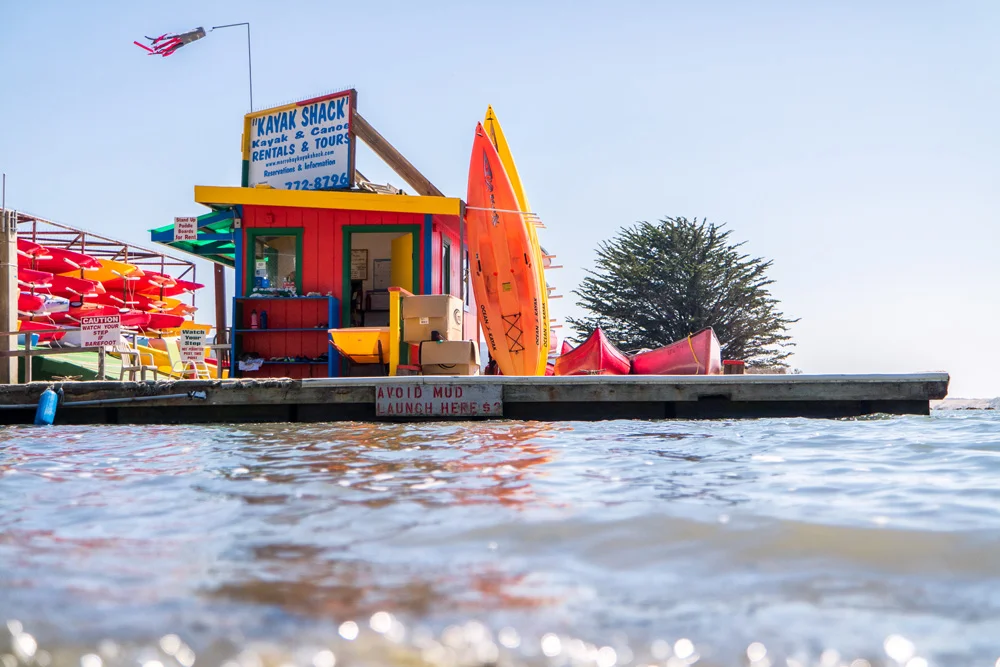
    The next day was an adventurous and activity filled one. It also ended up being the first time I’ve ever entered and operated a kayak. My cousin and one of her kids hopped on a paddle board, her husband and the other kid hopped on another paddle board, and my aunt and I jumped into the kayak – both rookies mind you, and it was immediately apparent. It took a few twists, turns, and devising a system to coordinate our left from our right, but eventually, we got the hang of the bugger…for now.

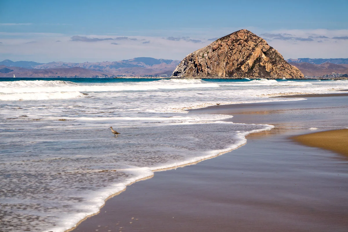
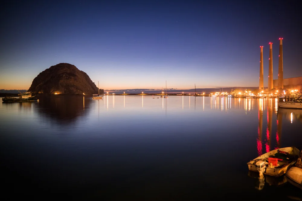
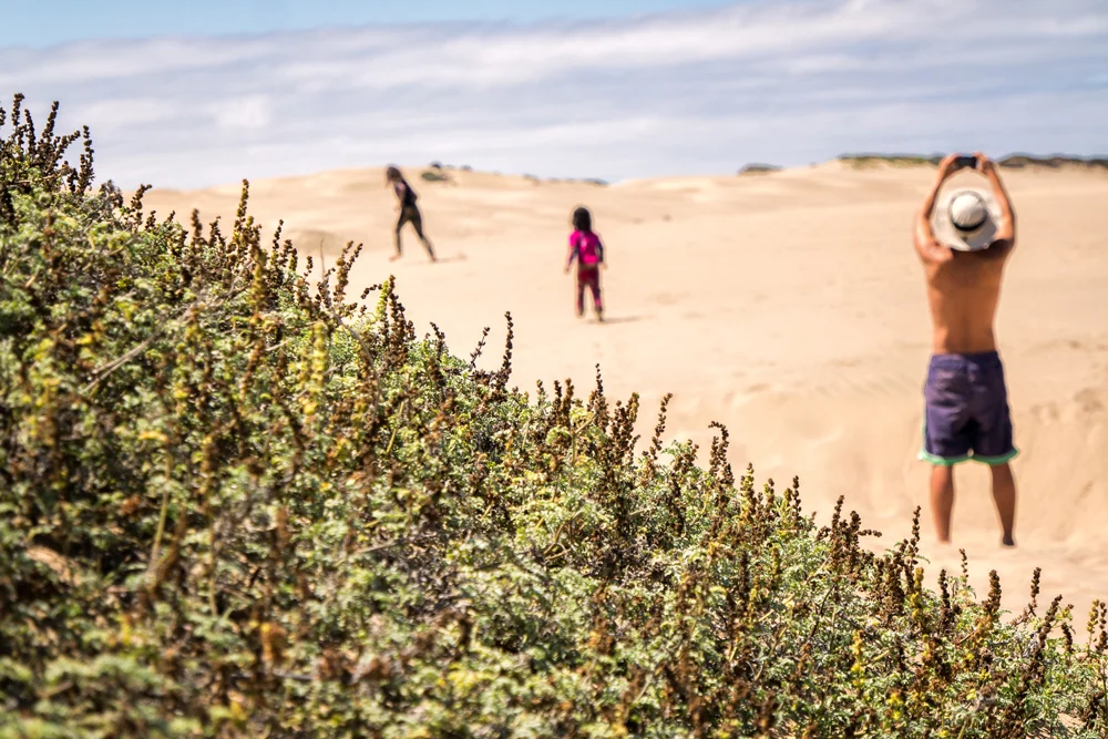
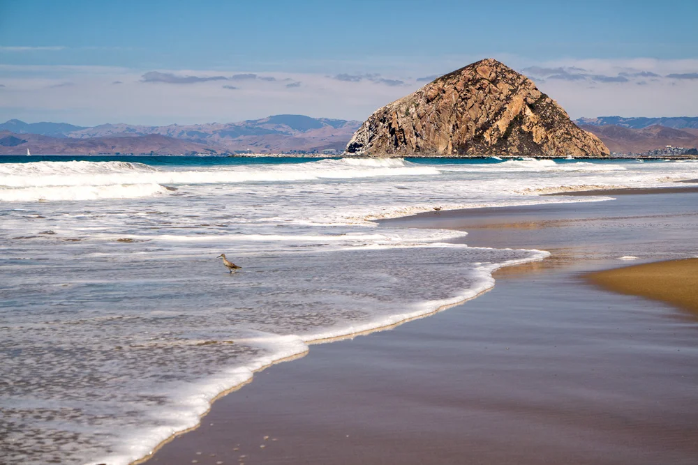
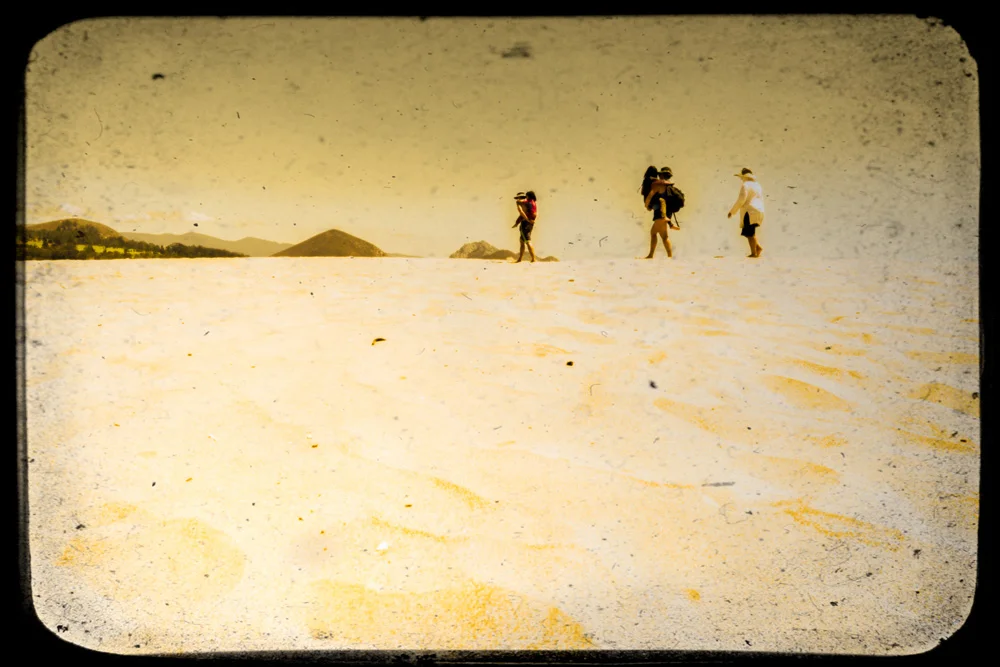
    We made it across the bay to peninsula on the western side of the bay that ran along the Pacific coast towards the icon of the town, Morro Rock. The sandbar was about a half mile wide and covered with sand dunes that we traverse to get to the beach side. We spent a couple hours in the sun, had a packed lunch, and then made our way back over the sand dunes to our ‘transportation.’

    The return trip was not NEARLY as easy as we had anticipated. No matter what we did, all we could manage was to spin around in circles while the undercurrent pulled us further and further away from the direction we were trying to go in. Apparently the tide has dropped and we were trying to kayak through 12” deep water. Well, needless to say…that didn’t work out too well. We ended up spinning around in place while the current was pulling us in the wrong direction almost snapping the paddles as we dug them into the sand to try to stay put. No bueno. I’m partly embarrassed to admit we ended up holding onto the back of my cousin’s paddle-board as she towed us in…

    And since I feel compelled to find a way to make you forget about that last sentence and focus on something else, here are a few images from that first day in Morro Bay, all of which were taken with a Samsung NX3000 mirrorless camera…

    If you’re ready for Part 2: Big Sur, click here.

    Finally, for more of my madness:
    Instagram: @wasimofnazareth
    Google+: www.Google.com/+WasimMuklashy
    Ello: www.Ello.co/WasimOfNazareth

  • How To Photograph The Super Super Moon!

    How To Photograph The Super Super Moon!

    Wasim Muklashy Photography_Wasim Of Nazareth_Full Moon_Continental Divide_Rocky Mountain National Park_Colorado_-_1WM2334_2400

    So all that hype about the ‘super moon’ that we’ve heard not only this month but last month and sometime back earlier this year as well? Well, this is more of it! Apparently this weekend, on Sunday, August 10, is the superest of all super moons (at least in 2014). Scientists like to get all loose and crazy and call it a ‘perigee full moon,’ basically meaning it’s the closest the moon will be to earth this year. Anyhow, along with all the hype about the super moon itself, for us photographers, comes all the hype about how to photograph the super moon, so here are my obligatory tips on how to photograph the super super moon.

    1. TRIPOD!! USE A TRIPOD!!! This is one you can’t get away from.

    2. Tighten Up! Use as tight a focal length as you have (or can afford). At the very least you’ll want to use a 200mm (remember on a crop sensor, that’s roughly 300mm). If you can get away with it (and your wife /husband or boy/girlfriend won’t kill you, or your creditors aren’t already hot on your tail), get yourself a 400mm or even longer lens.

    3. Spot Meter!!! Only Spot Meter!! The moon is quite the bright bugger, meaning, the camera will have a hard time metering properly as the big bright thing surrounded by darkness will confuse it, making the moon completely washed out, causing your shot to miss out on the details, the contours, the lines, the mountains, the valleys, the moon men curiously pondering the mars rover tracks, wondering if there’s other life ‘out there.’ This is also where you might want to use exposure compensation. Take a few test shots, and if the camera still isn’t metering properly, drop the exposure compensation by a stop or two to -1 or -2 (manually underexposing) to make up for what the camera thinks it’s seeing.

    4. How Low Can You ISO? Use the lowest ISO you can get away with, which, if you refer to tip #3, can be the lowest ISO your camera supports. Shoot using an aperture between f5.6 and f11. That should allow sufficient light to hit the sensor while giving you a crisp image of the moon’s surface, as the middle apertures tend to give you the sharpest images.

    5. Augment Your Reality! Grab an app like PhotoPills or Sun Seeker or Rick Sammon’s Photo Sundial or for Android, there is Sun Surveyor. These are essentially augmented reality apps that you can point at the sky and know exactly where the moon is going to be at exactly what time on exactly what date. Kind of handy eh?

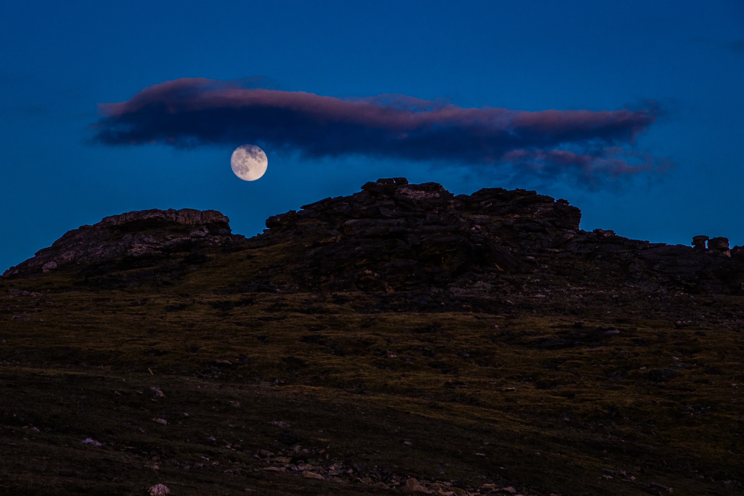
    6. Size Matters! Try to find a foreground, like a hill or a tree or a structure for a sense of scale. Even if it’s just a silhouette of that foreground object. Otherwise it can look just like any other full moon, and when the super moon is essentially called that because of the considerable size difference in comparison to other full moons, it would be pointless. This is easiest achieved with timing, as you’ll want to capture the moon just as it begins to rise above the horizon. If you wait until it’s directly overhead and there are no other elements in the image, it’s just another moon…

    7. Look Up! Don’t forget to look away from the camera. As a photographer, it’s easy to get caught up with what’s inside that little frame of yours, easily forgetting everything surrounding that frame. Stop for a few minutes. Just breathe. Soak it in. At the very least, it’s a nice reminder of you why you do what you do.

    When you’re all done, moon me! Post links to them suckers here, would love to see ’em!

    And for more of my madness:
    Instagram: @wasimofnazareth
    Twitter: @wasimofnazareth
    Google+: www.Google.com/+WasimMuklashy
    Facebook: www.Facebook.com/WasimOfNazareth