Tag: national park

  • The Columbia River Gorge and Mount Rainier National Park: A Great Pacific Northwest Smoke Out

    The Columbia River Gorge and Mount Rainier National Park: A Great Pacific Northwest Smoke Out

    Wasimof Nazareth Mount Rainier National Park Washington

    The last couple of weeks are exactly why I now find myself living in the Pacific Northwest.

    Sort of.

    So it’s no secret that this region of the country has some of the most incredibly beautiful and inspiring fodder for landscape and nature lovers and overall wanderlusters.

    If anything, the region is known for its copious amounts of water and incredibly liberal natural display of every shade of green known to man.

    It’s what I moved up here to explore and embed with.

    Between the forests, the waterfalls, the rivers, the coastlines, the almost-religious focus on sustainability and conservation and nature-worship, and perhaps the world’s most concentrated populations of tree-huggers on the planet (myself proudly and unapologetically included), it’s enough to occupy infinite lifetimes of discovery.

    What we didn’t see coming (well actually we did) was the supercharged effects of climate change, not surprisingly, affecting some of the most heavily forested areas in the country.

    From Portland all the way up to Seattle, the Pacific Northwest has been covered in a thick layer of smoke and haze from the wild megafires flanking us in every direction from California up to Canada.
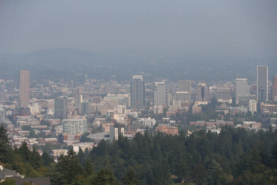
     Image by  Mark Graves for The Oregonian
    Image by Mark Graves for The Oregonian

    It’s just marinating over the city like a modern-dust bowl, and oftentimes visibility is no further than the building across the street. In fact, over the past 2 weeks, this has been a recurring news-story:

    “Air quality in Portland ranks fourth-worst among major cities worldwide according to a data visualization tool that tracks air quality.” –KGW

    Think about that for a second…that’s worse than Beijing. And that has been the increasing trend for the past half-decade.

    And this has now gone on for exactly one month.

    Furthermore, we’ve seen more over-90 degree days this summer than not, which is NOT typical for this region. It’s a very disturbing trend that, in speaking to several locals, has increased dramatically over the past several years. Being as how this area is the hub of forestry, I’ve attended (and worked) several symposiums and talks and panels and events centered around this very topic.

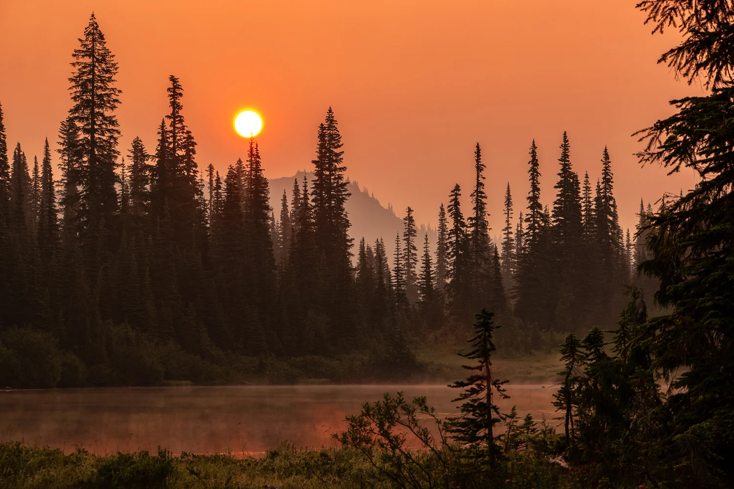
    However, not one to spread doom and gloom, I wasn’t going to let this hamper my exploration of the region, so while Mother Nature was busy taking care of herself, I figured we’d use the incredible light provided by the fire-smoke-diffused sky for photography and sunsets and sunrises that look like sunsets and over the past couple of weeks, I’ve been able to put a good dent in my list of ‘things to do’ up here in the Pacific Northwest. First off, a cousin came to town to escape the big city life of Los Angeles, and wanted some ‘nature time.’ We only had 48 hours, so figured we’d make the best of it.

    Wasimof Nazareth Columbia River Gorge Pacific Northwest Hamilton Mountain Poolofthe Winds Beacon Rock State Park Washing

    We started off in Beacon Rock State Park along the Columbia River Gorge Scenic Area, where we hiked by the Pool of the Winds up to the semi-treacherous trek  to the summit of Hamilton Mountain. While it was a fairly decent burner, about 1700 feet elevation over the course of 3 miles, the air quality certainly had a hand in it hurting as much as it did. We did, however, get some pretty incredible views and colors because of it. After that, we made our way through Hood River’s fruit loop and picked up some fresh cherries for the ride back down the mountain through Mount Hood to Portland. 

    Then, just last week, along with a photographer friend Rob Dweck (check out his stuff…seriously…especially his black & whites!!), I made it up to one of the locations that has been on my photographic bucket list for a decade – Mount Rainier National Park.

    Typically known for crystal clear summer skies and crisp contrasted majestic mountain – peak, driving into the park, due to the thick haze, we hardly even knew it was there.
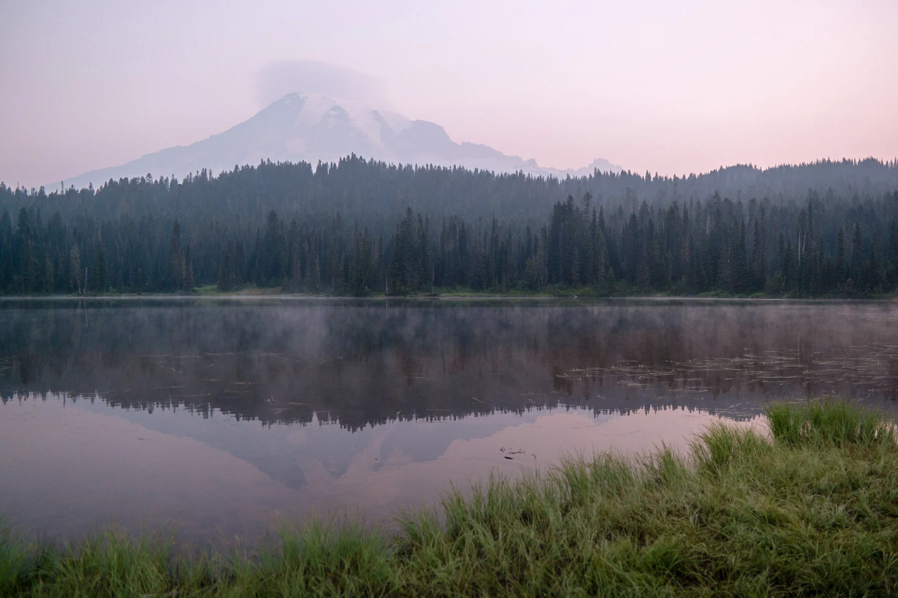
     Legend has it a majestic mountain lies in there somewhere...
    Legend has it a majestic mountain lies in there somewhere…

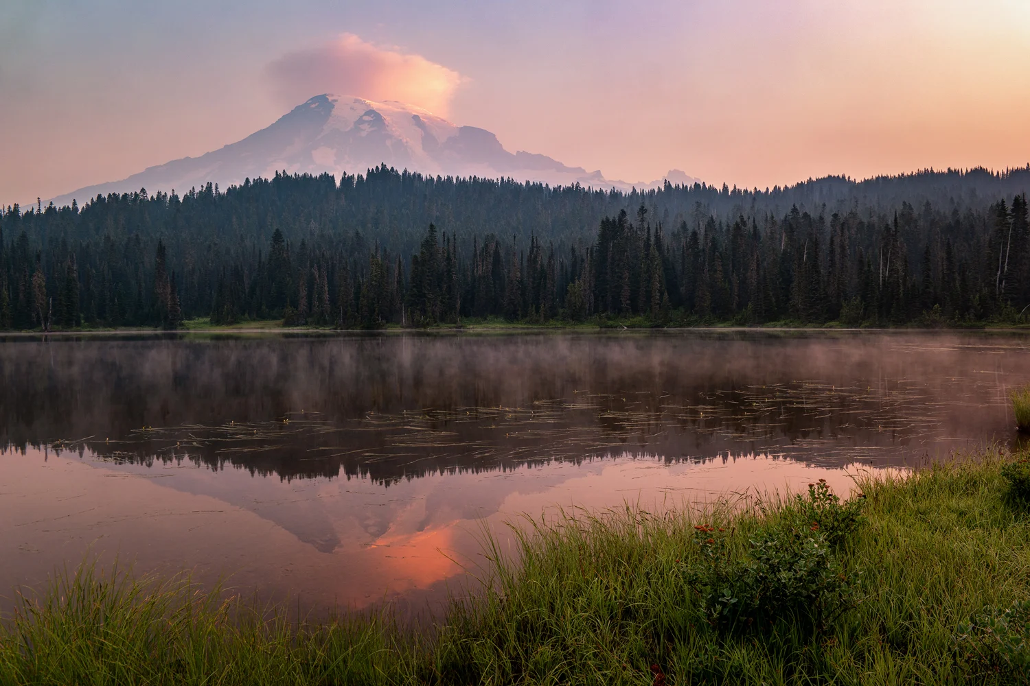
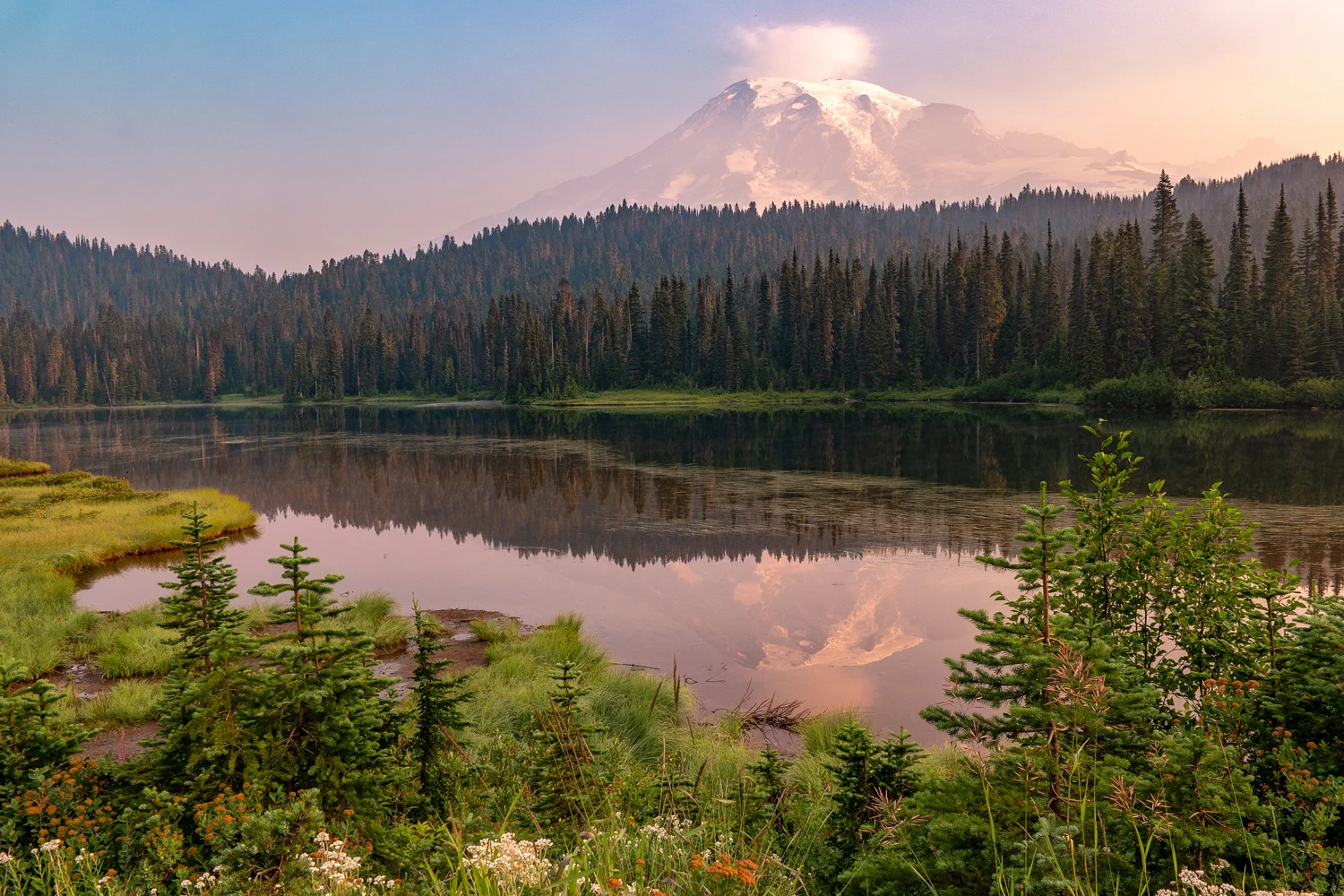
    Even at sunrise the following morning, I had to use a polarizer on my lens just to cut through enough haze to identify that a mountain even existed over Mirror Lakes. It eventually cleared enough for her to show off her grand self, but throughout much of the rest of that day, we were avoiding the grand viewpoints because…well there were none.

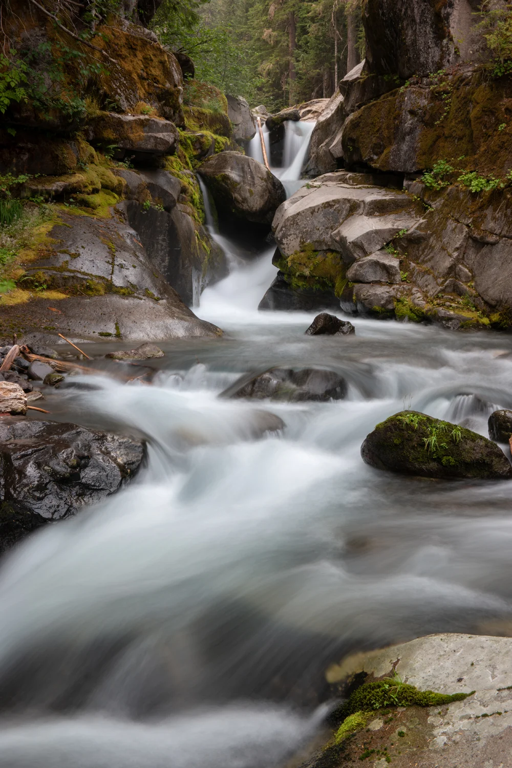
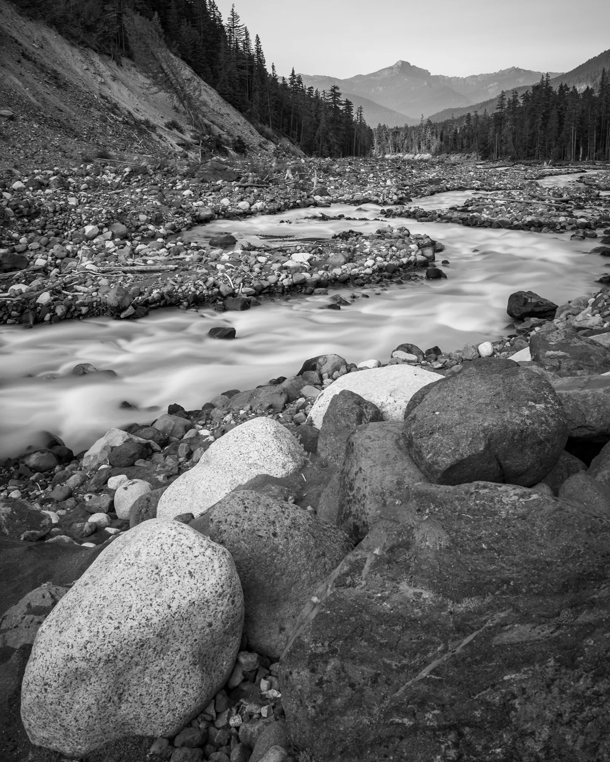
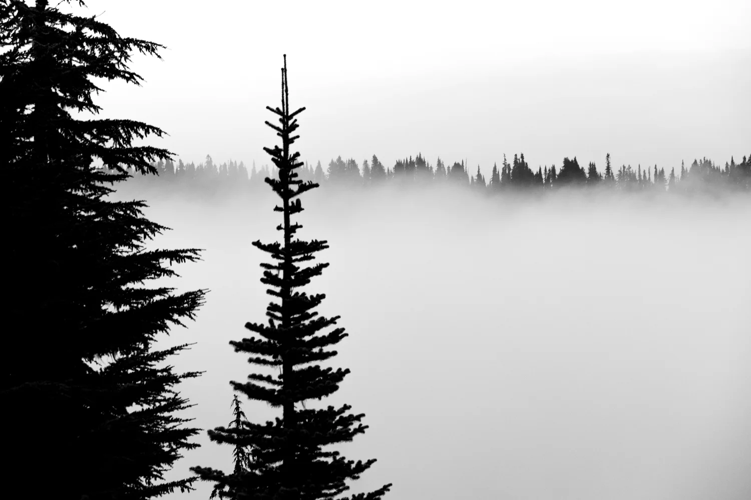
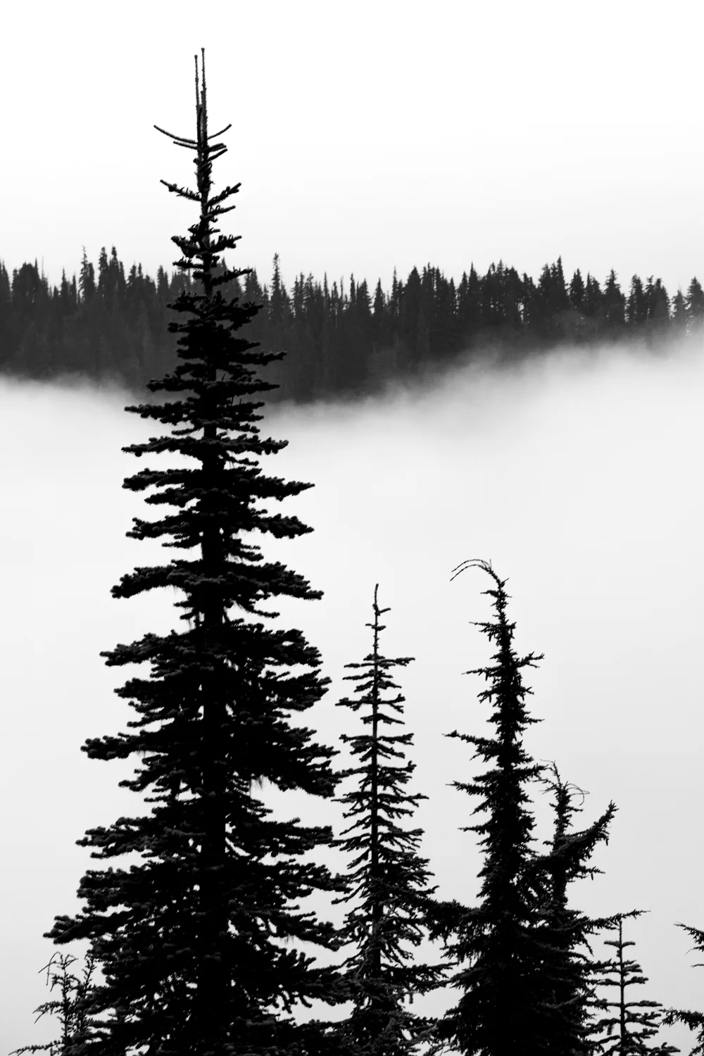
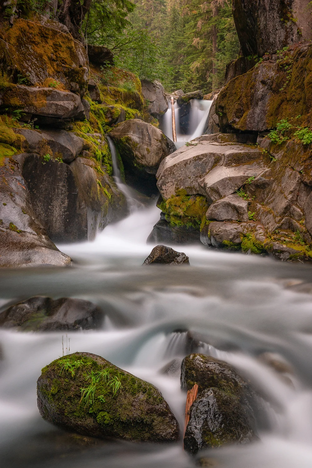
    This did, however allow us to focus on the forests and waterfalls and use the haze to the best of our advantage as we can – contrasty black & white images and landscapes, more focused compositions in heavily forested areas as we hiked down portion of the Nisqually River and up through the forest towards Comet Falls, the park’s largest waterfall.

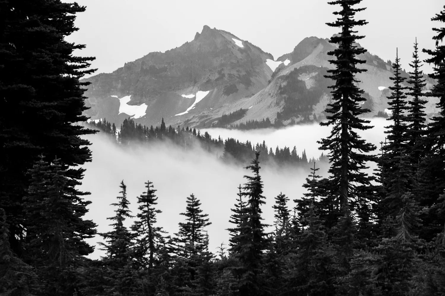
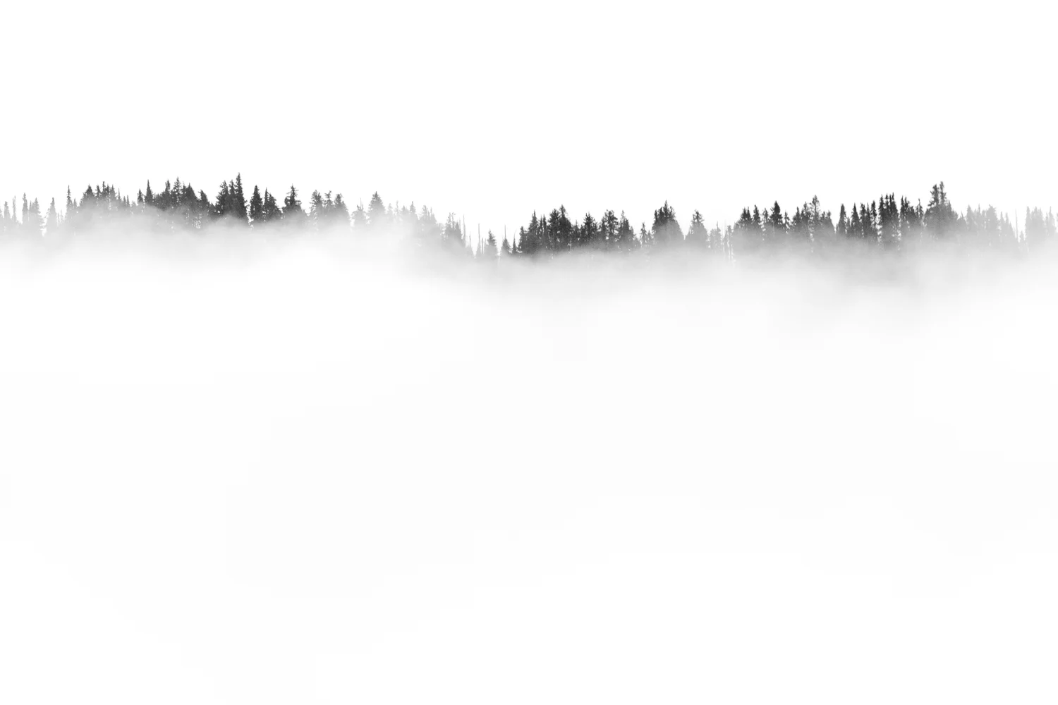
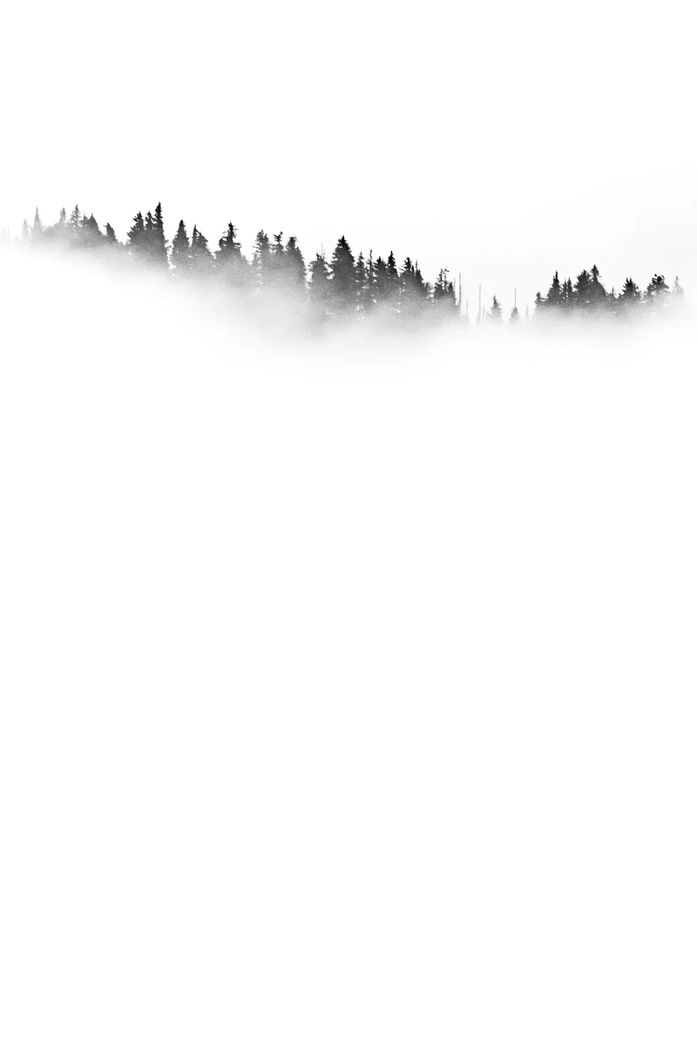
    On our final day, we got somewhat lucky. We arose for sunrise again to try to catch Mount Rainier in all her beauty from Paradise. Unfortunately, the fog, mixed with the haze, covered her up completely and we were unable to get a glimpse. That unfortunately turned quickly to fortunately because due to those very conditions, I did manage to capture what turned out to be my favorite images from the trip. They weren’t the images I imagined I’d capture from Rainier, but I can’t complain at all – with the fog slowly lifting and the tops of the trees ever-so-gingerly monochromatically poking their way through – I feel like they were pretty unique images.
    Wasimof Nazareth Mount Rainier National Park Washington

    And, well, it was fun.

    Finally, on the day we were leaving, the haze lifted enough to show us Rainier in the glory she was meant to be seen in. We figured we’d hike the Sunrise Loop, a 7-mile loop trail that took us through the forests, above the treelines, almost up to the basecamp of where the crazy-folks that climb the whole mountain prepare and acclimate to the elevation before beginning their awe-inducing ascents up to the summit, and back down through the idyllic meadows and streams and wildflowers caused by the glacier runoff back down to the Paradise Lodge.

    Easily one of the most beautiful hikes I’ve ever done.

    And can’t wait to do again.

    Anyhow, below are some images from that trip up to Mount Rainier National Park. Hope you enjoy: 
    And for more of the riff raffs and scabber dabbers:
    instagram: @wasimofnazareth 
    ello: @wasimofnazareth 
    google+: +WasimMuklashy

    Finally, if you enjoy these posts, please feel free to subscribe to my mailing list at top right of this page, and I’ll deliver each post to you as I publish them, and if you support the kind of work I’m doing and the things I’m sharing, please consider ‘subscribing to me’ on Patreon.com. Yup, subscribing to ‘me.’ You can even set the price. Literally, $1 per month if you want. No joke, I’m a poor bastard, so your little helps me a LOT.
  • Happy Birthday John Muir

    Happy Birthday John Muir

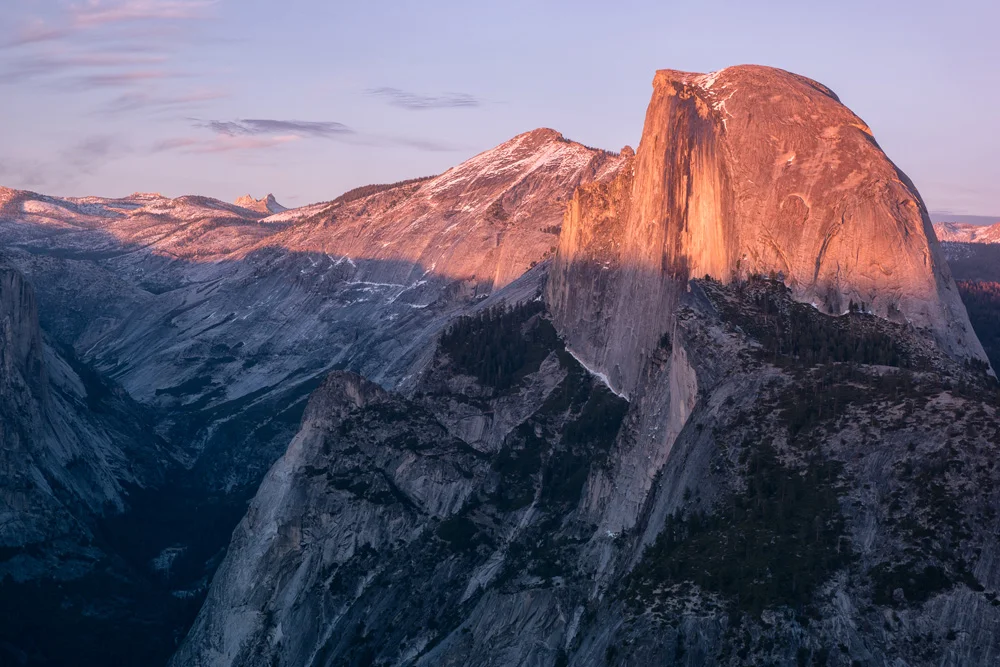
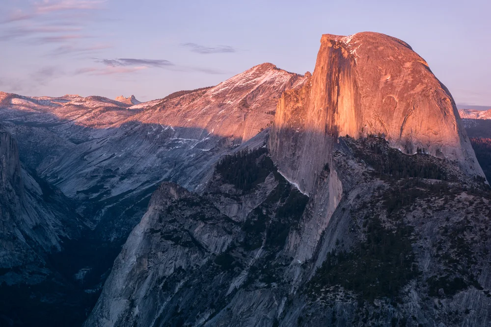
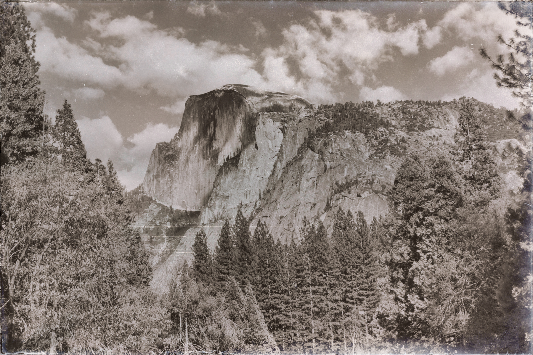
    Happy Birthday John Muir_Wasim Muklashy Photography_Wasim of Nazareth_Yosemite_Half Dome

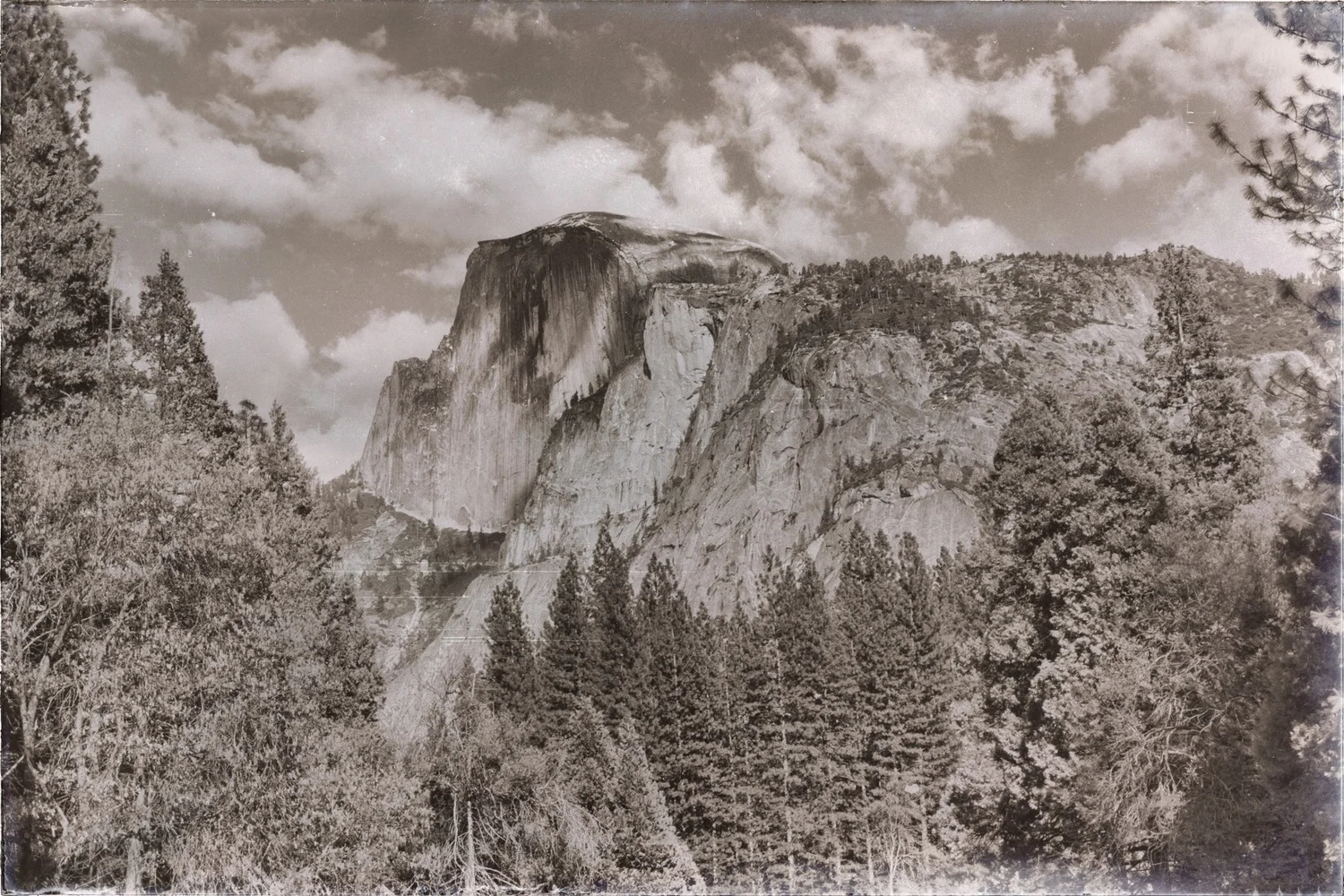
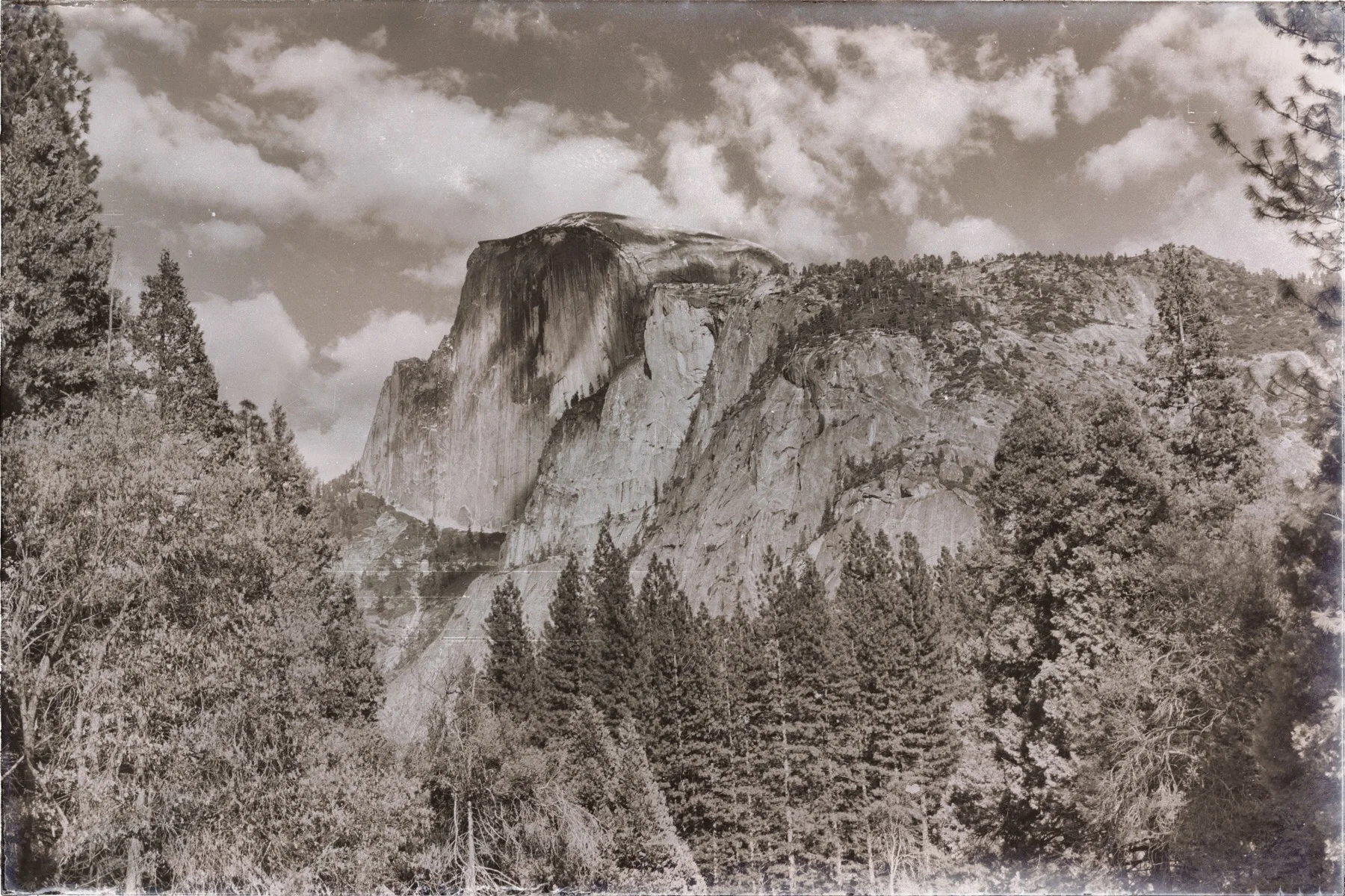
     “Keep close to Nature’s heart… and break clear away, once in awhile, and climb a mountain or spend a week in the woods. Wash your spirit clean.” -John Muir.
    Happy Birthday John Muir. And thank you. So so much. Your legacy may very well be the grandest of them all.

  • Yosemite Oh Yosemite, Alas, We Meet Again. A Spring 2015 Journey Into America’s Greatest Valley

    Yosemite Oh Yosemite, Alas, We Meet Again. A Spring 2015 Journey Into America’s Greatest Valley

    Wasim Muklashy Photography_April 2015_Yosemite_California_Samsung NX1_ SAM_8346_1800px

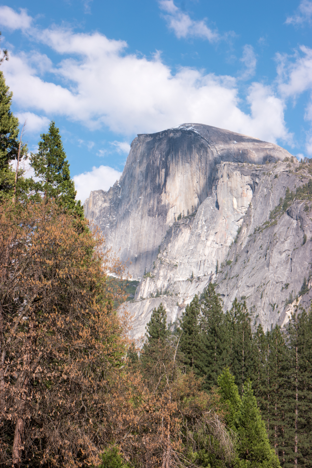
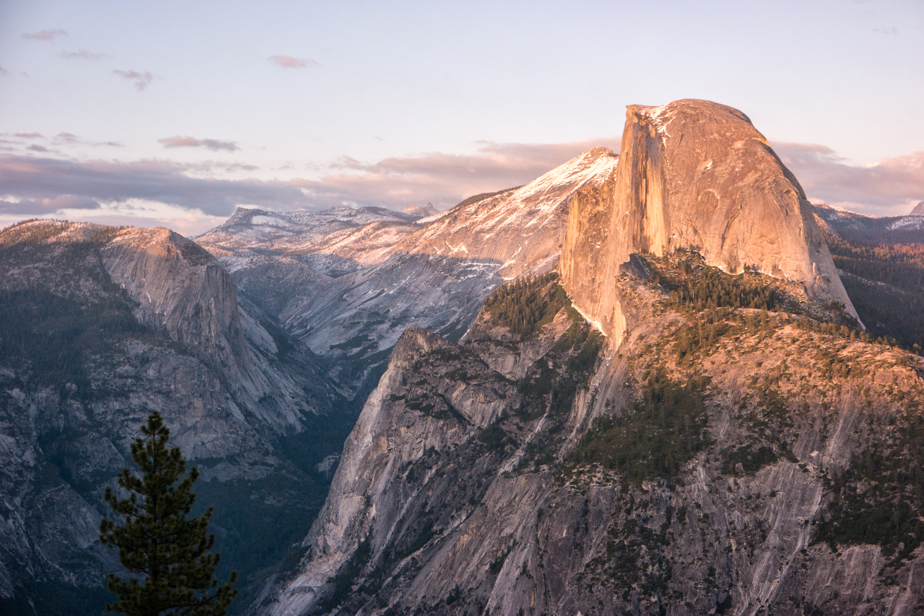
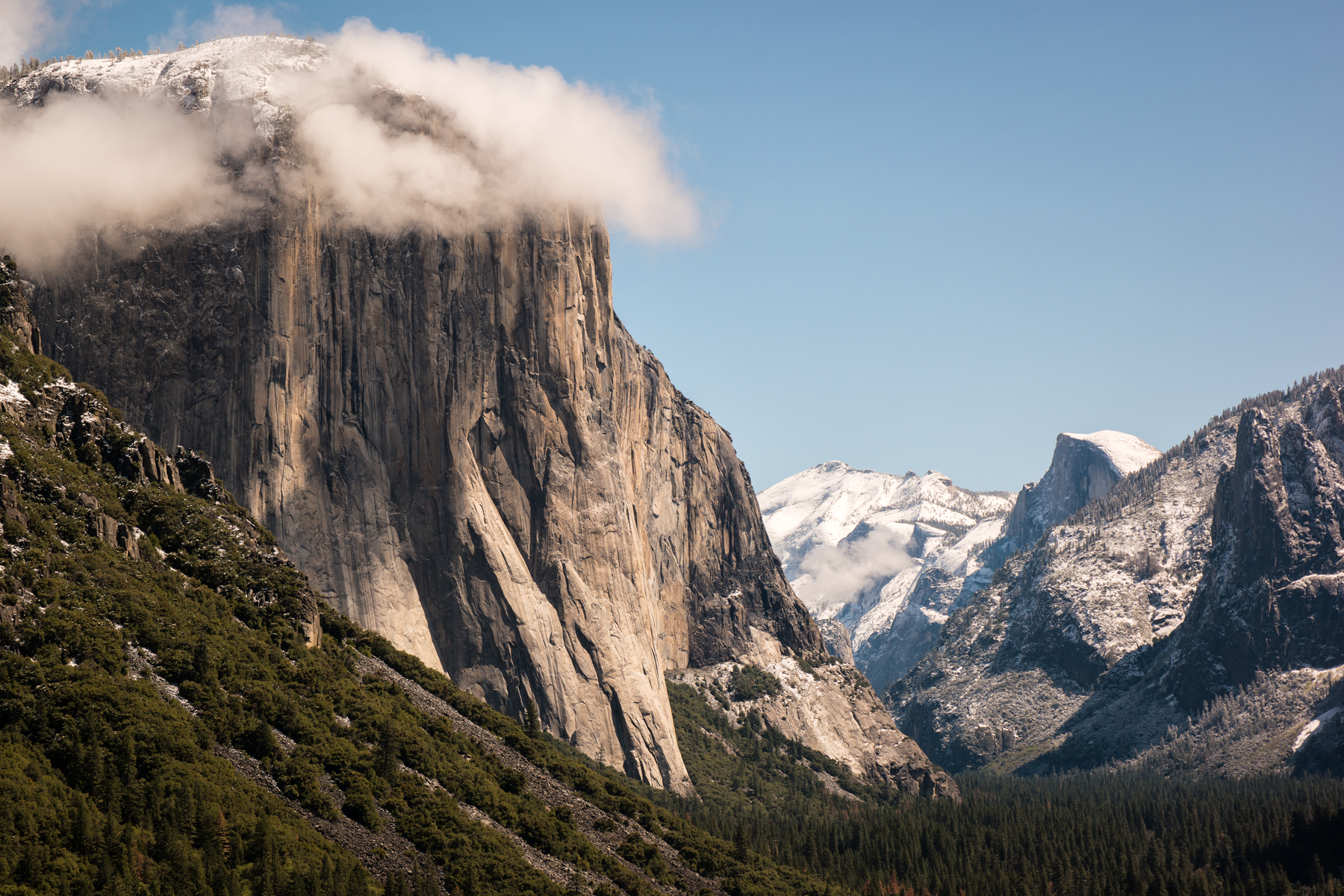
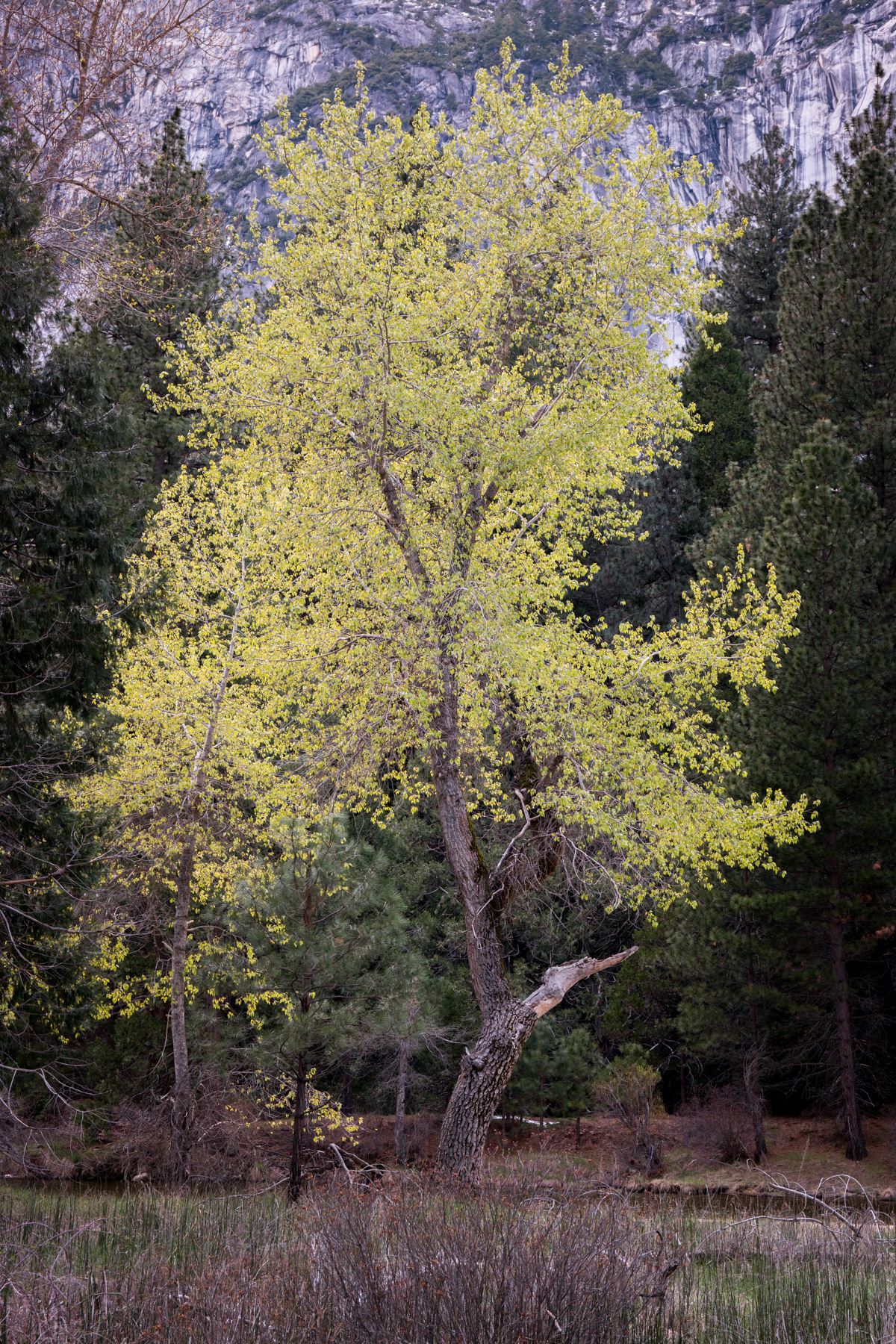
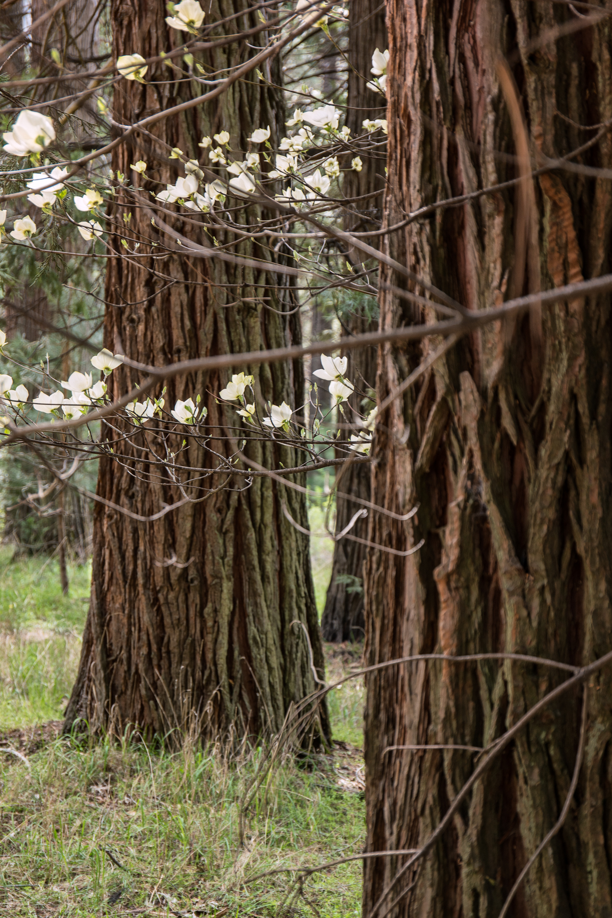
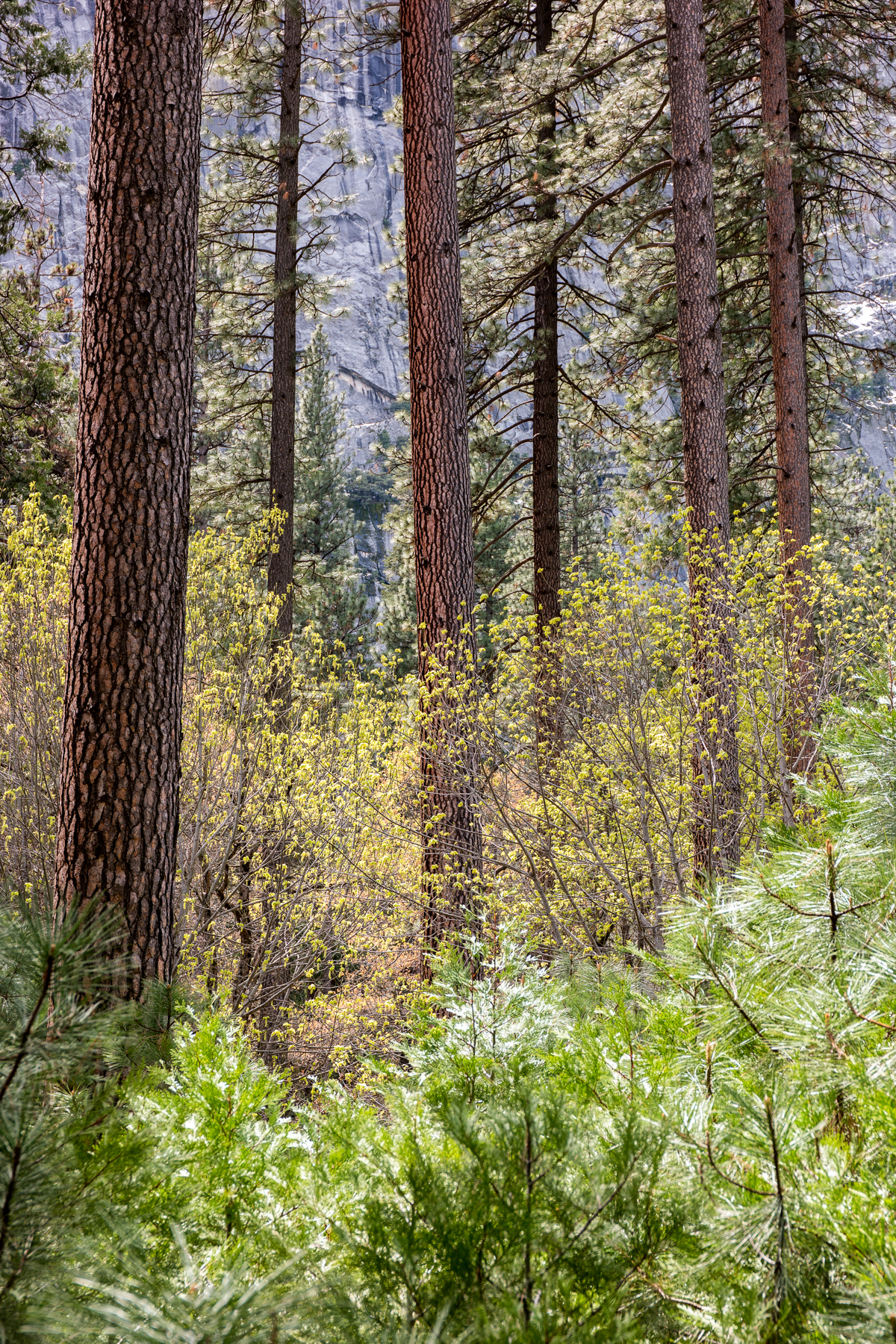
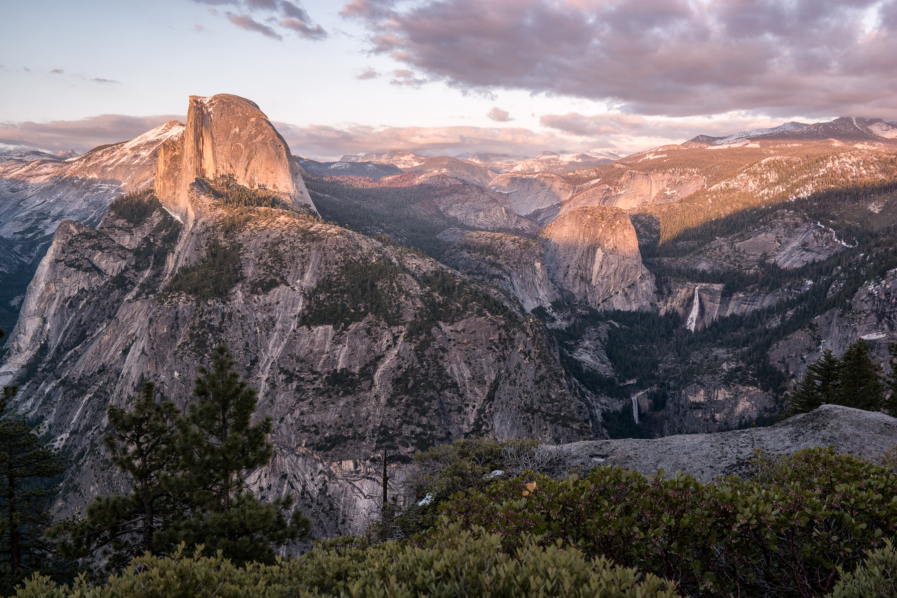
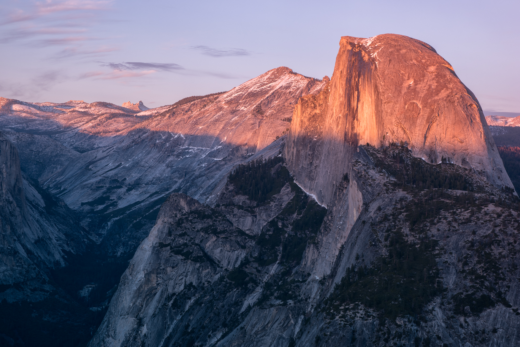
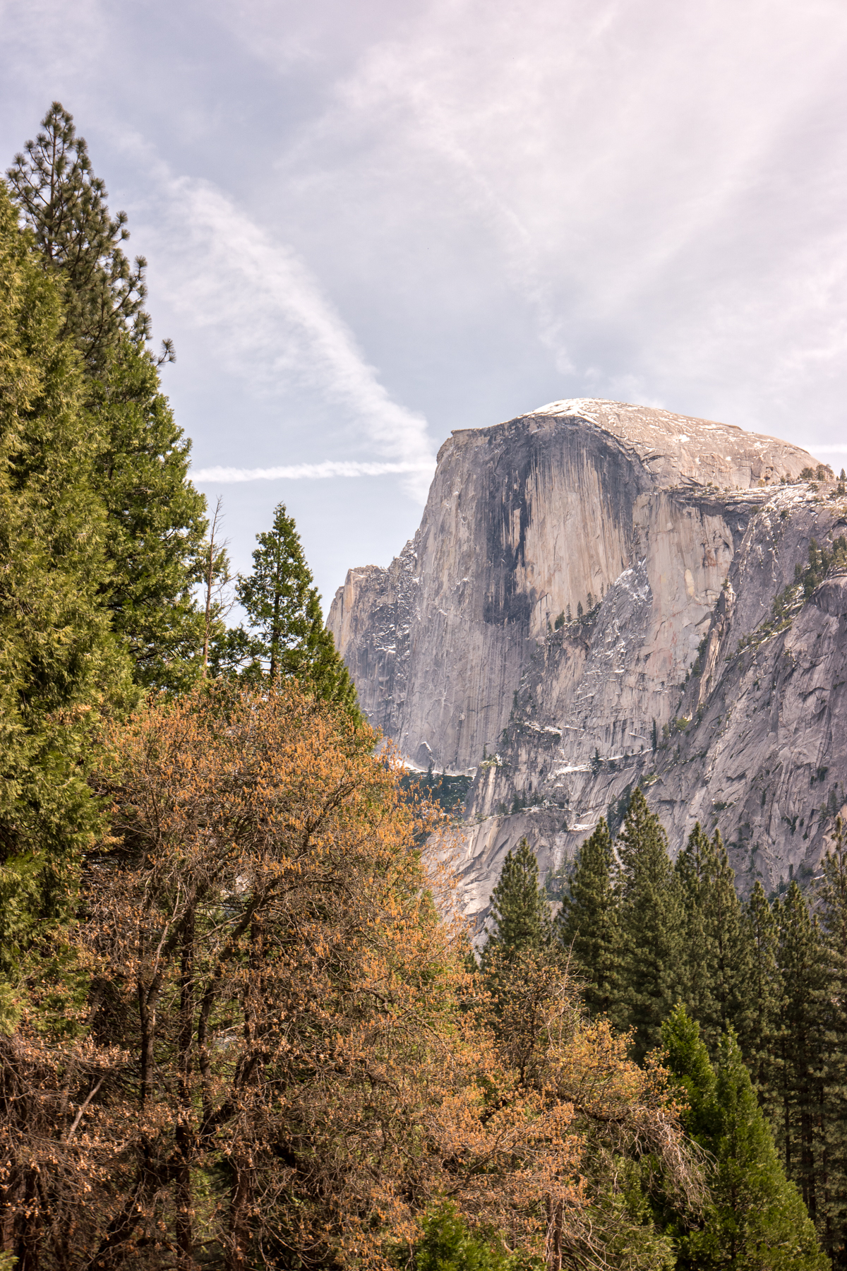
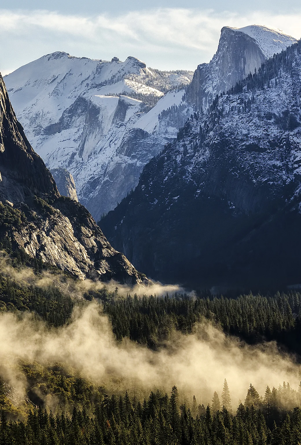
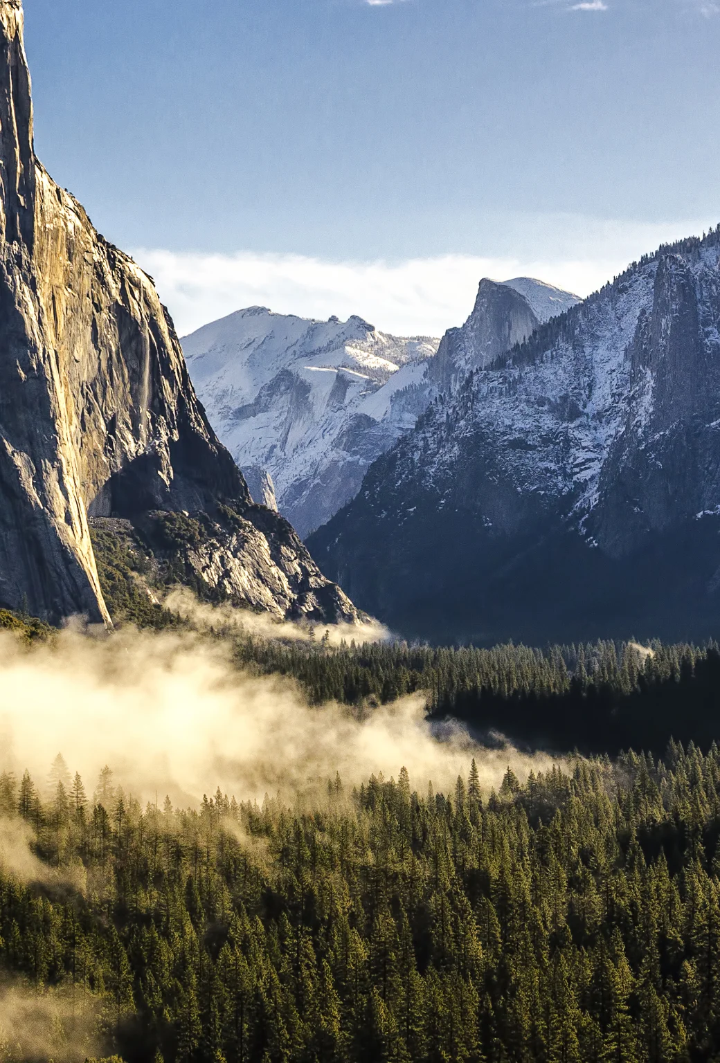
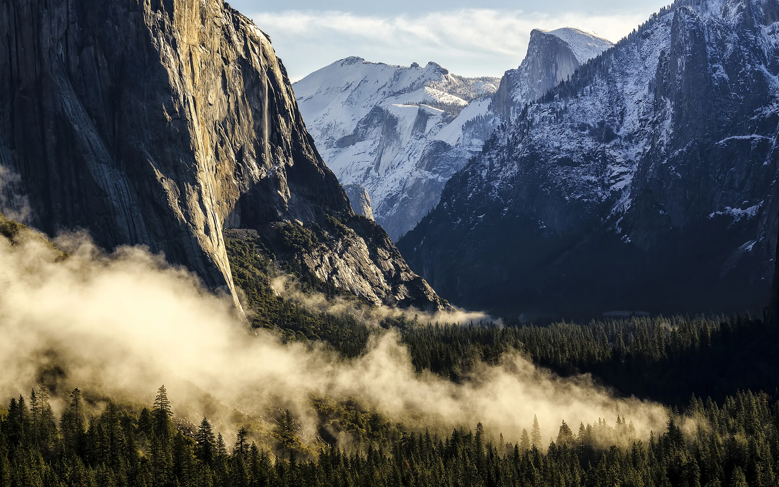
    So this is a little uncharacteristic of me, but this time, I’m going to try to go easy on the words and let the images tell the story. Yosemite is just one of those places…the type that no matter who or what you are, will be affected by it. It’s simply impossible to turn that final curve on Highway 41 and exit that 1/4 mile tunnel 30 miles past Yosemite National Park’s South Entrance, without feeling like time slows down, at least for a split-second, to work out whether or not your eyes and senses have failed you as you try to come to grips with the sheer scale and beauty of the surreal valley that lies before you. Or as you drive up Glacier Point Road for 16 miles through dense pine and redwood forest before turning on that final S Curve just before Glacier Point and essentially slamming head-on into the world’s most magnificent chunk of granite, Half Dome, as it rests gloriously upon its perch, keeping a watchful eye over Yosemite Valley 3000 feet below. I was fortunate enough to be able to spend last week in Yosemite with my cousin, her family (including her photographer husband Stephen Chiang), and my aunt – the exact same crew that put up with my shenanigans last year on the Big Sur trip that I wrote about here. While our cabin was at Bass Lake, about 45 miles from the Valley, we spent every day within the borders of the park. Each day proved to be quite different than the day before. On the first day, we were treated to a mild snowstorm, leaving a nice blanket of fresh powder through the park for the next 24 hours. After those first 36 hours, it turned immediately to Spring, as the clouds cleared and the sun shone down upon us for the remainder of the week.

    Wasim Muklashy Photography_April 2015_Yosemite_California_Samsung NX1_ SAM_8031_1800px

    This afforded us the ability to enjoy everything from a showing of “The Spirit Of Yosemite” in the Museum’s Yosemite Conservancy Theatre to a snack at the stately Ahwahnee Lodge and a stroll through the Ansel Adams gallery in the village, leaving us with ample time and inspiration to visit all the usual suspects along with a few spots and moments we were able to call our own.

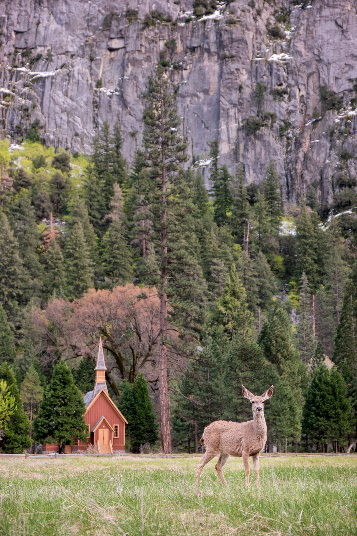
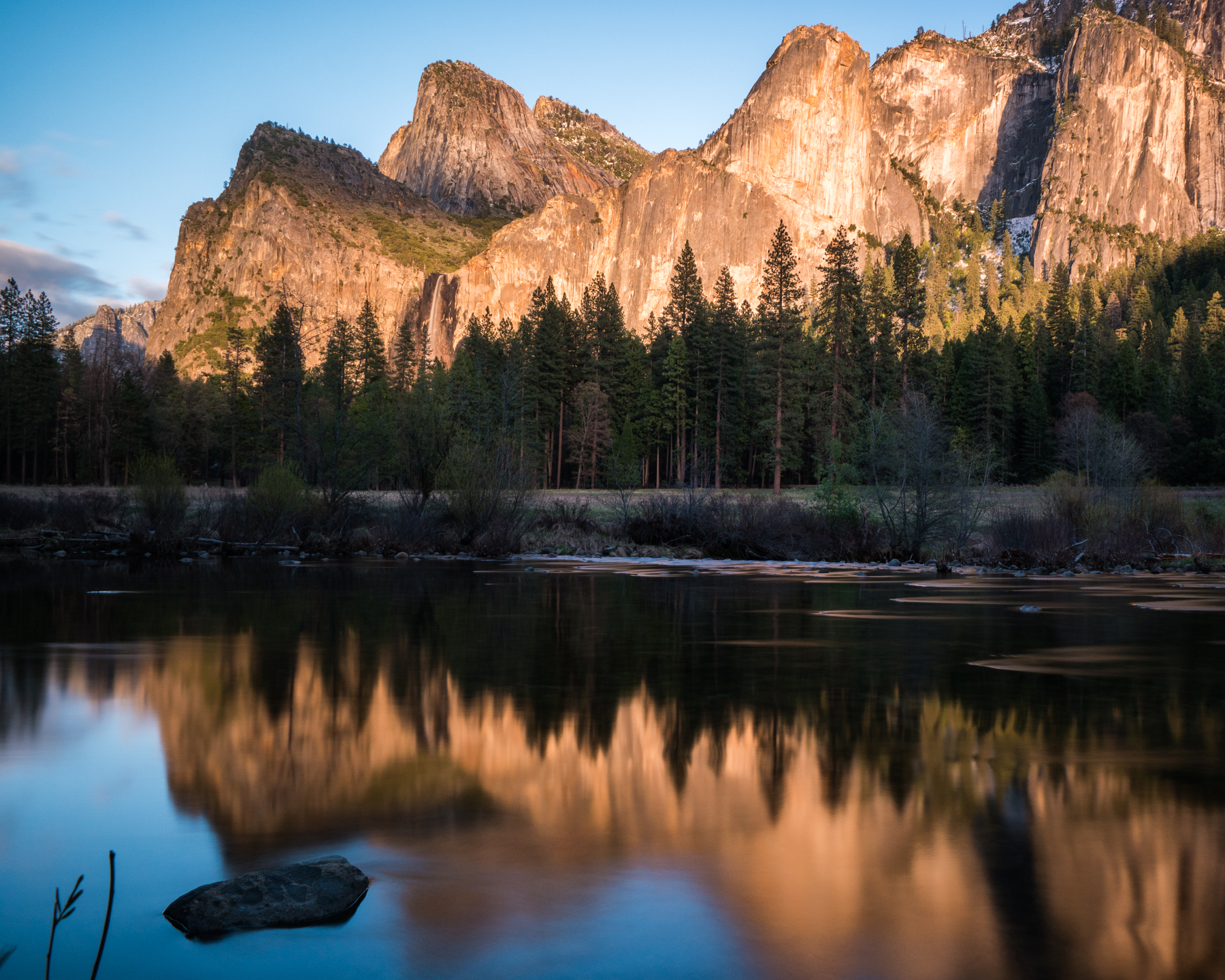
    We began with a quick stop at Bridalveil Falls before indulging in a leisurely stroll through the meadow across from the village, where I came face to face with a family of deer as they grazed just before the Yosemite Valley Chapel for an impromptu photo shoot as the sun made it’s way behind the valley walls. On our way out of the park, the final rays of sunlight were hitting Bridalveil Falls just perfectly, so we had to stop at the Merced River to snap a few shots on our way out of the valley back to the cabin. Not a bad first day!

    Wasim Muklashy Photography_April 2015_Yosemite_California_Samsung NX1_ SAM_8081_1800px

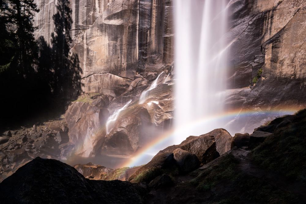
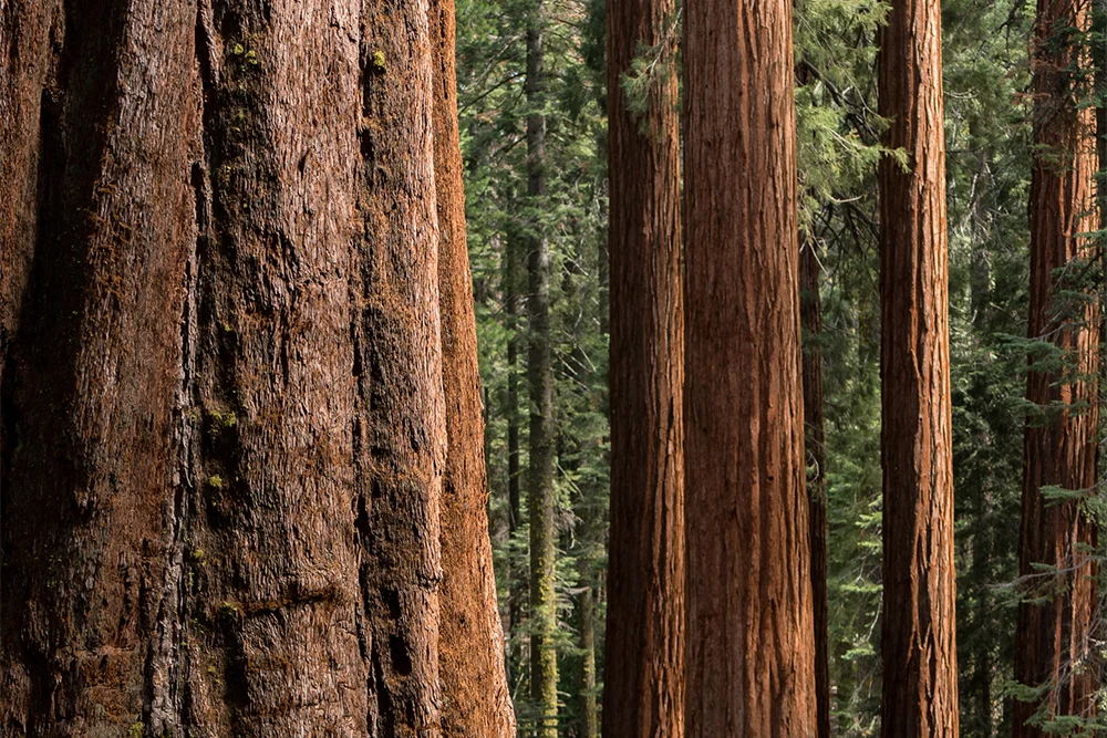
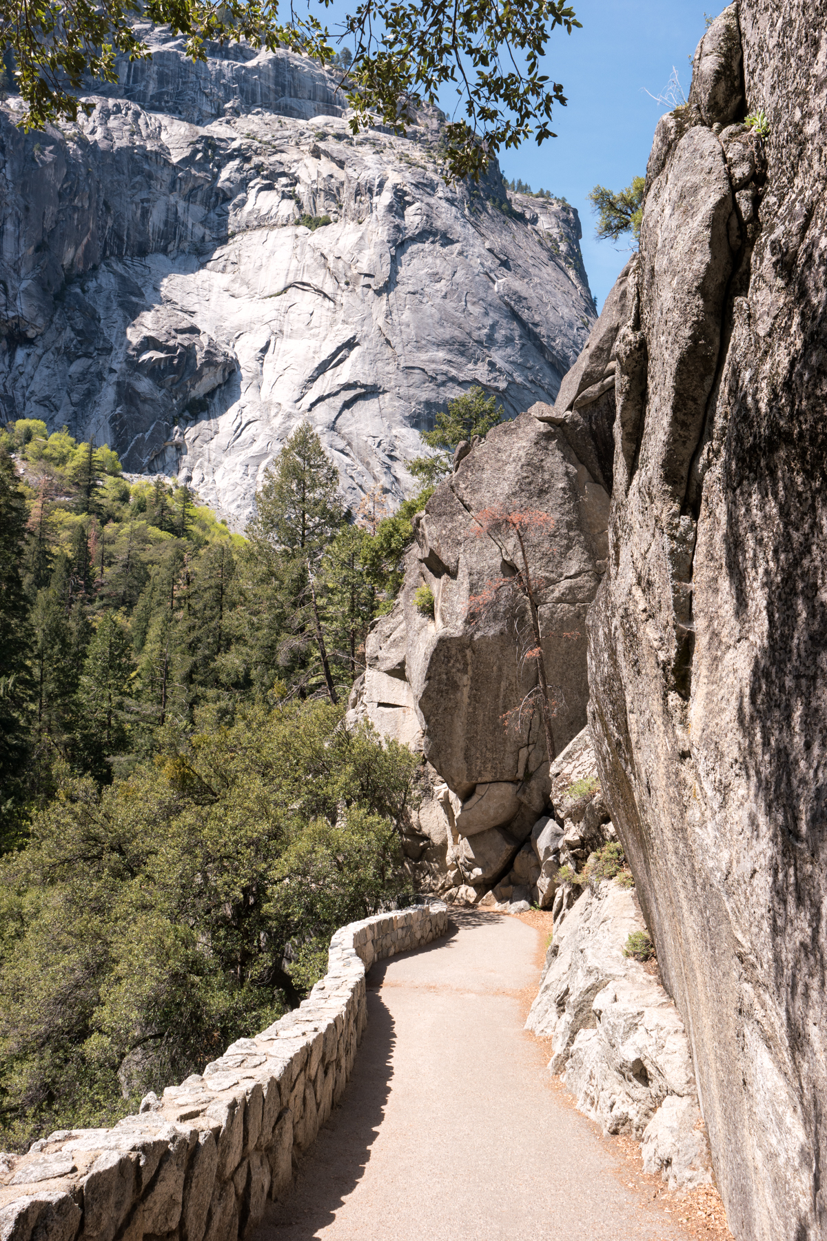
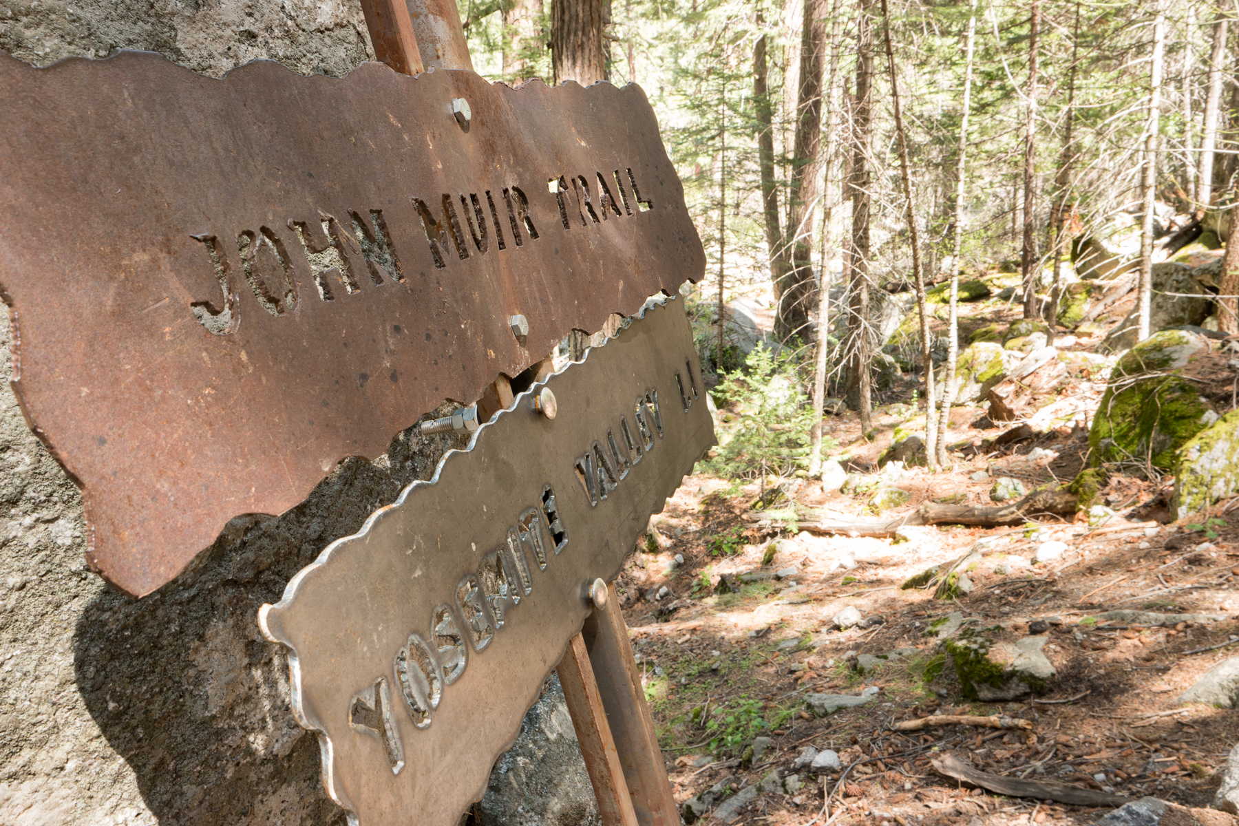
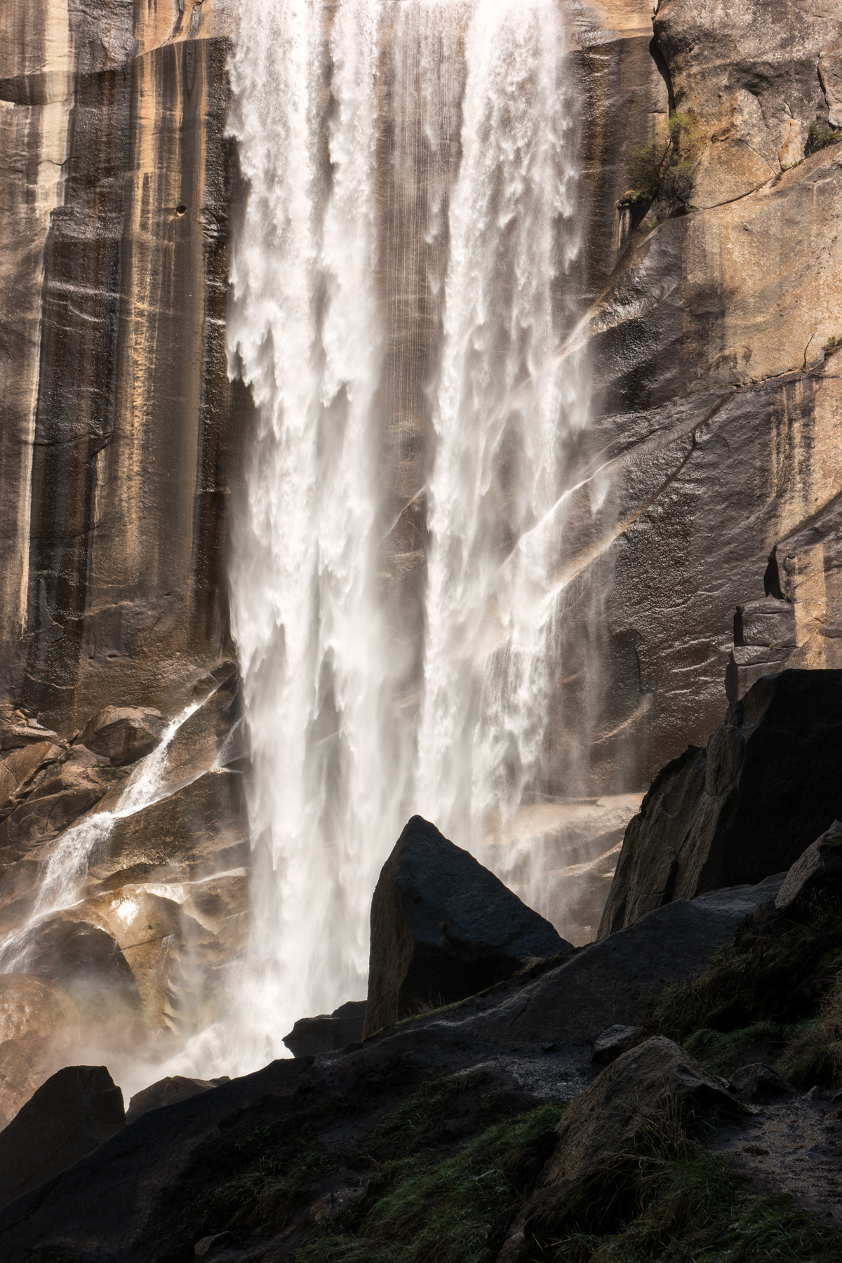
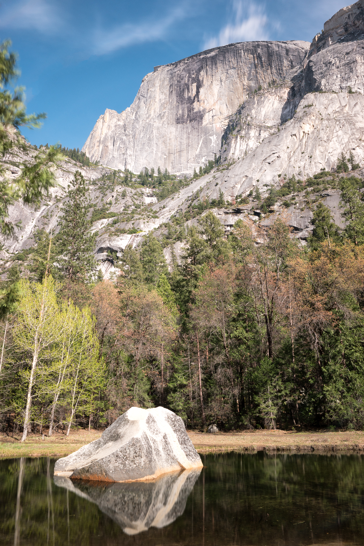
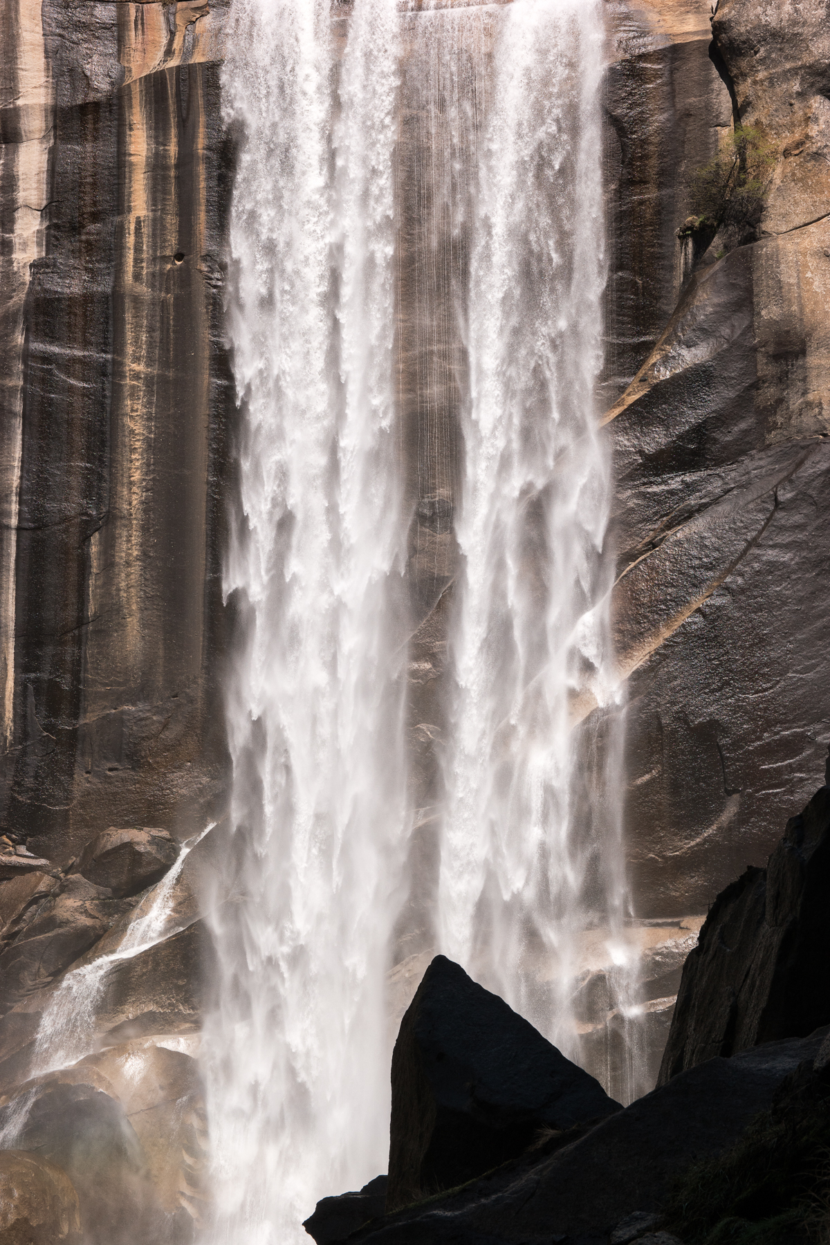
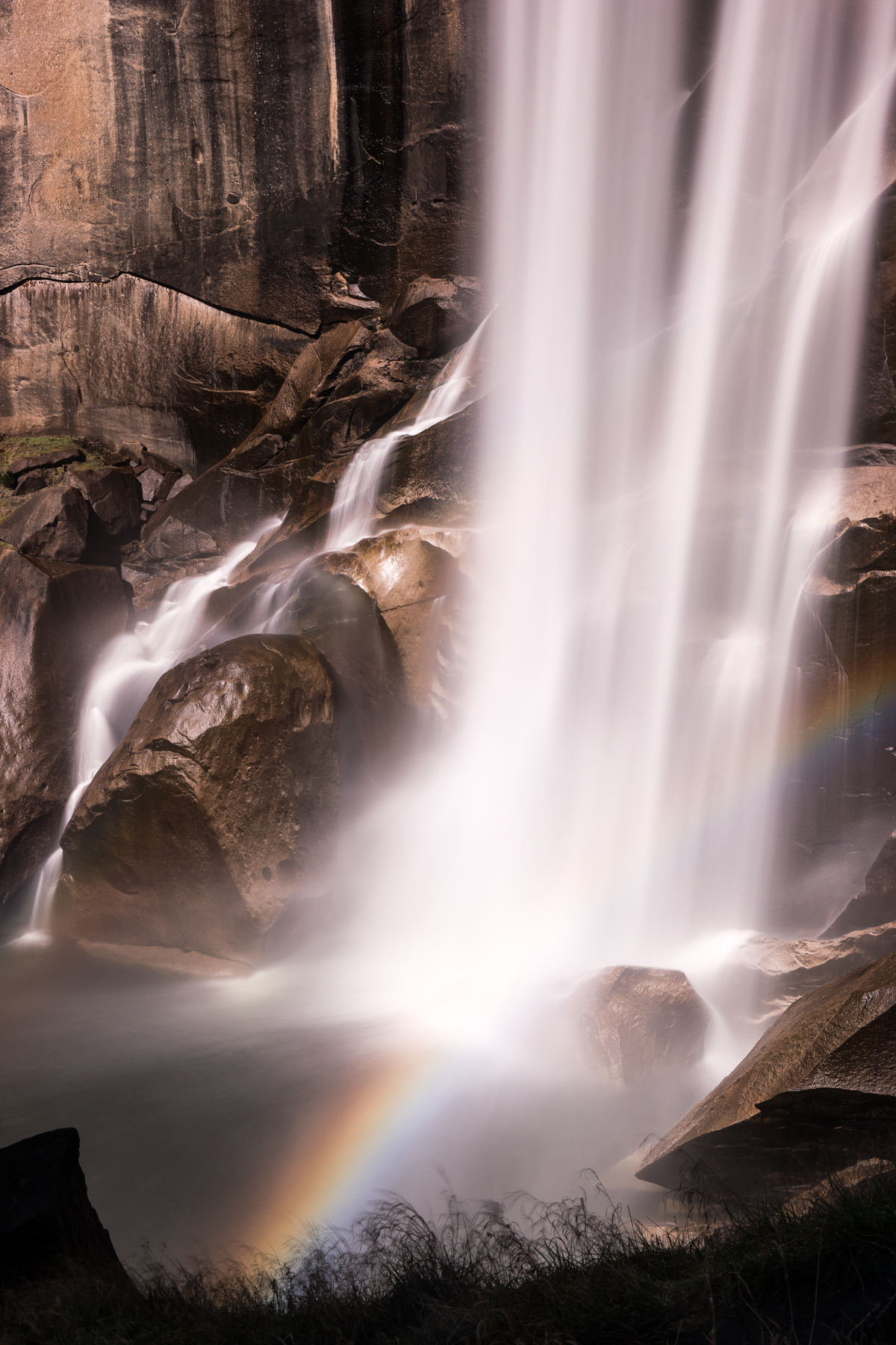
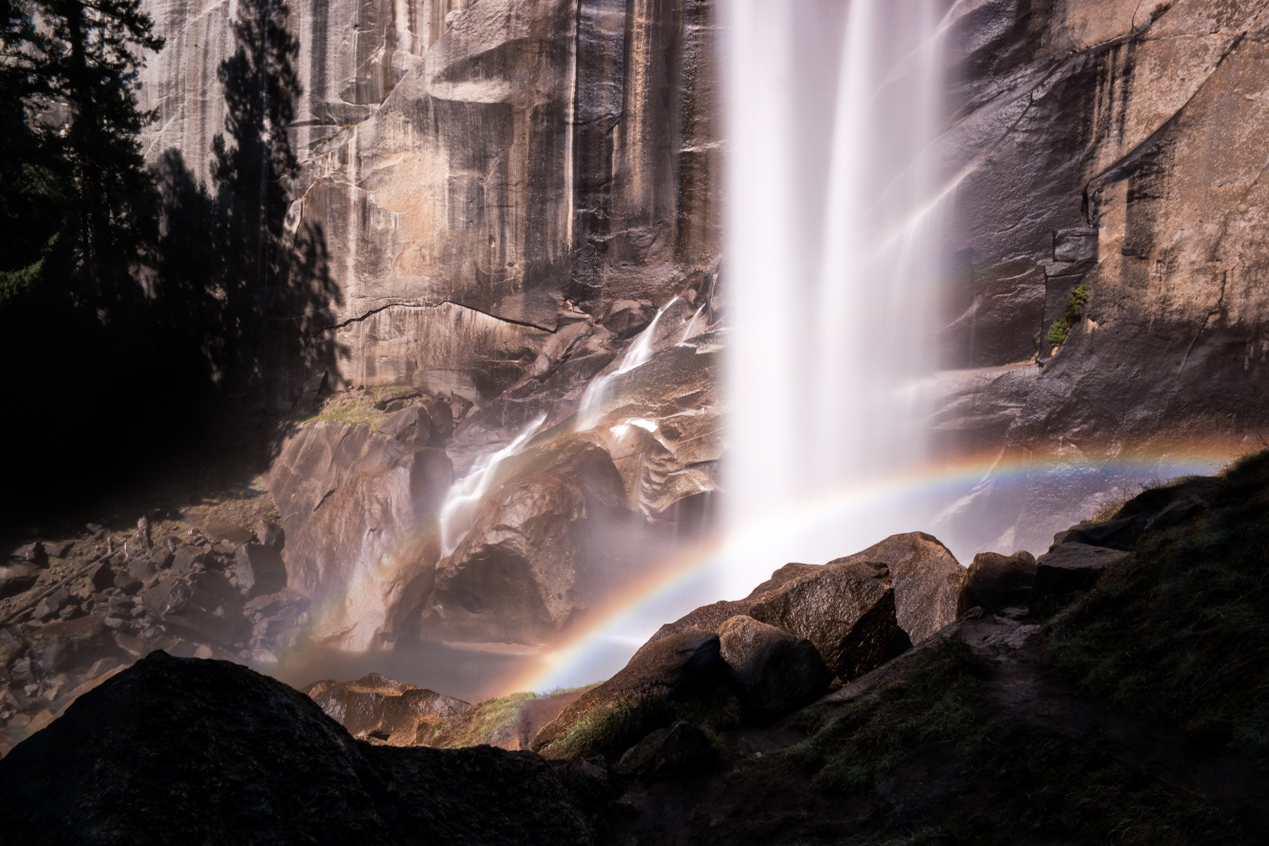
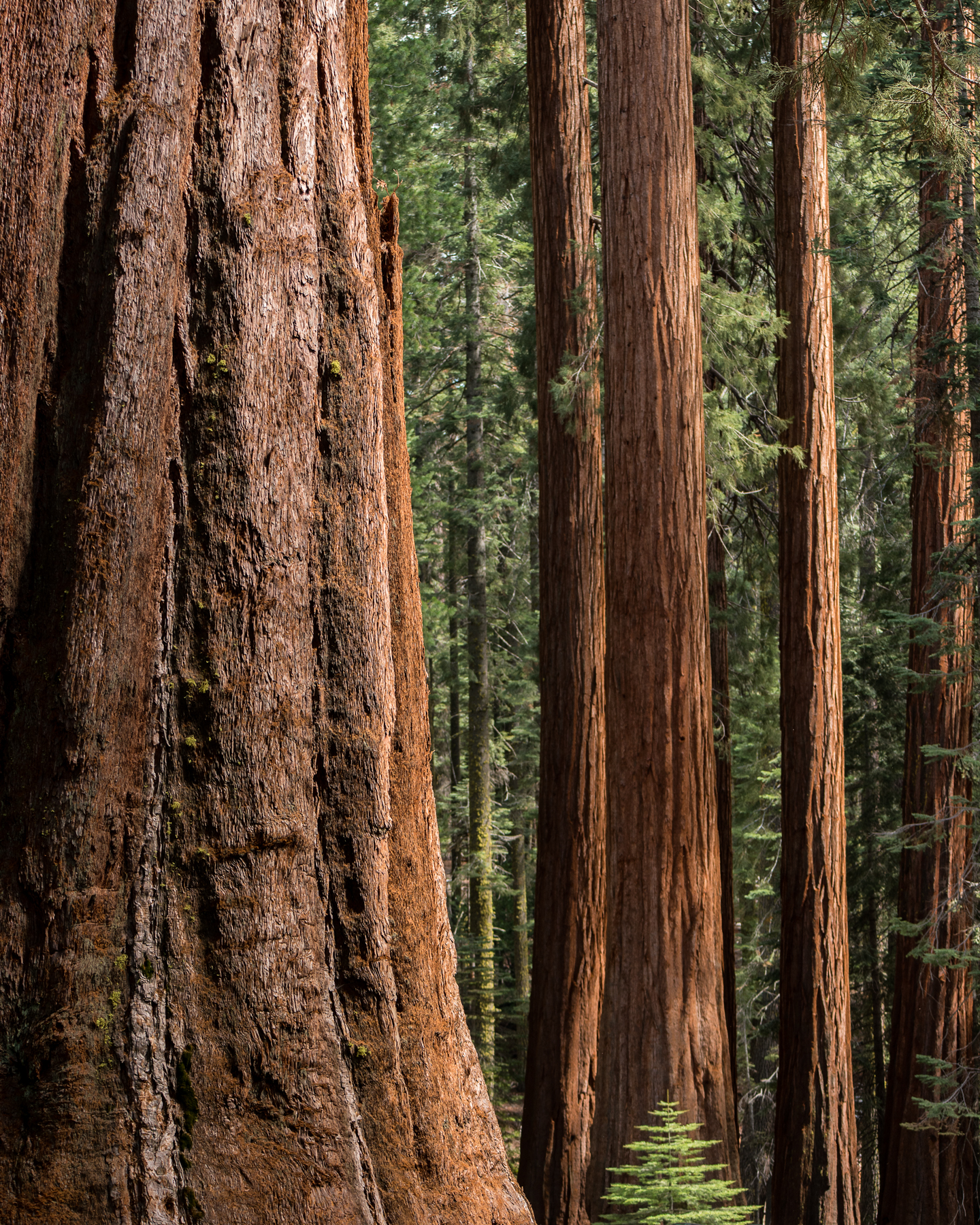
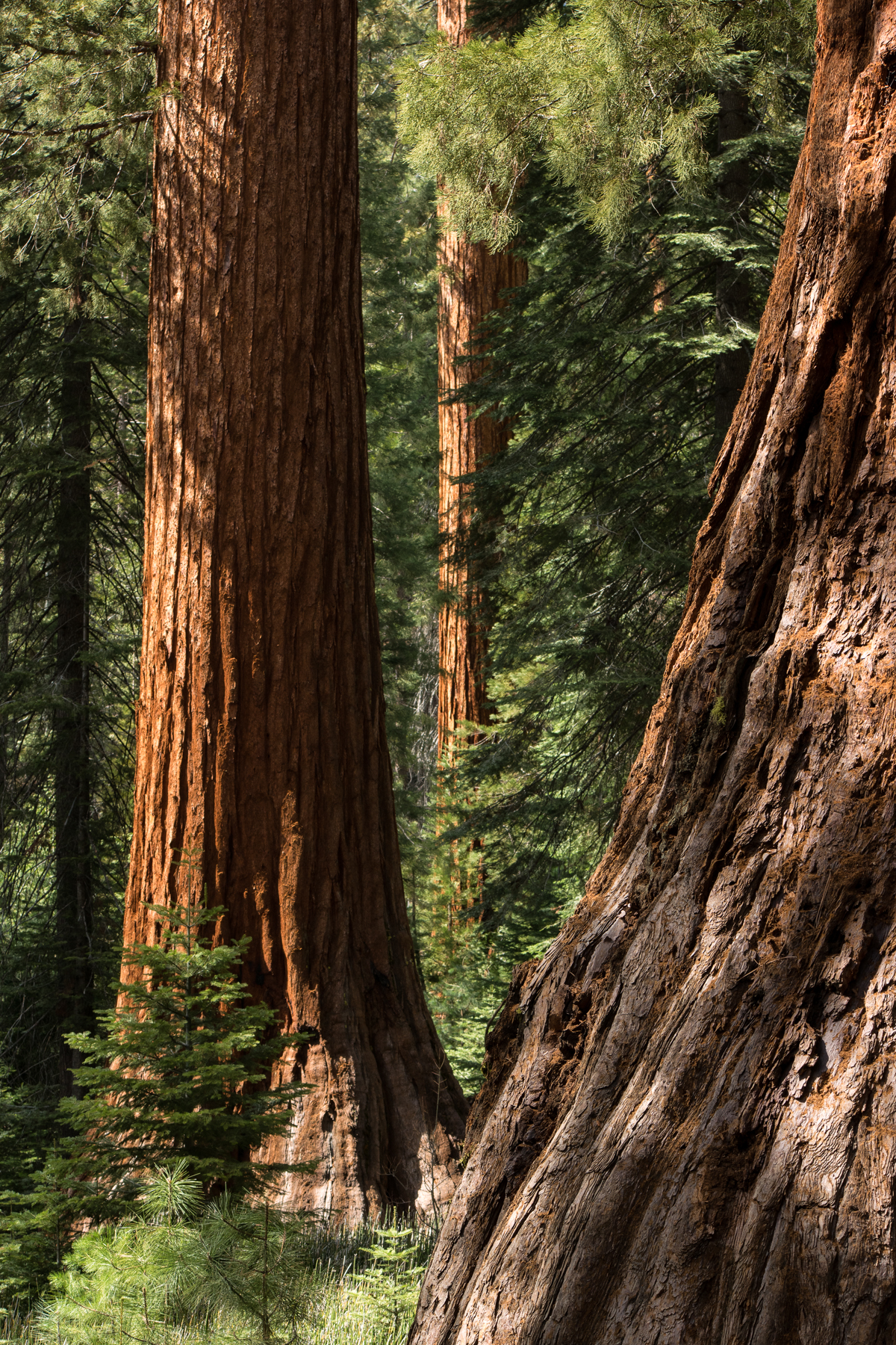
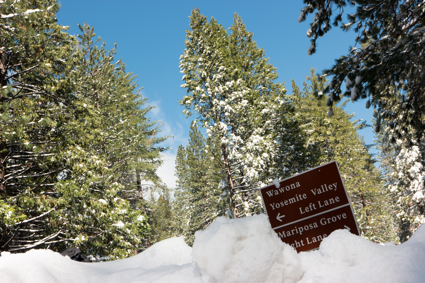
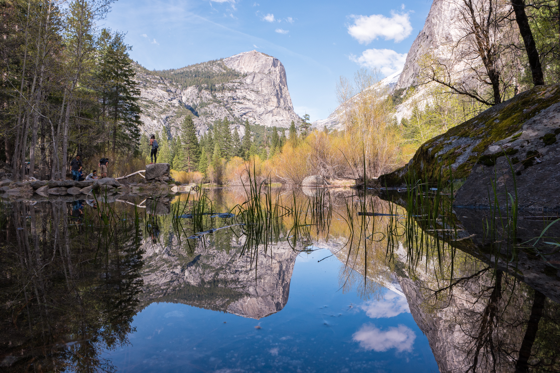
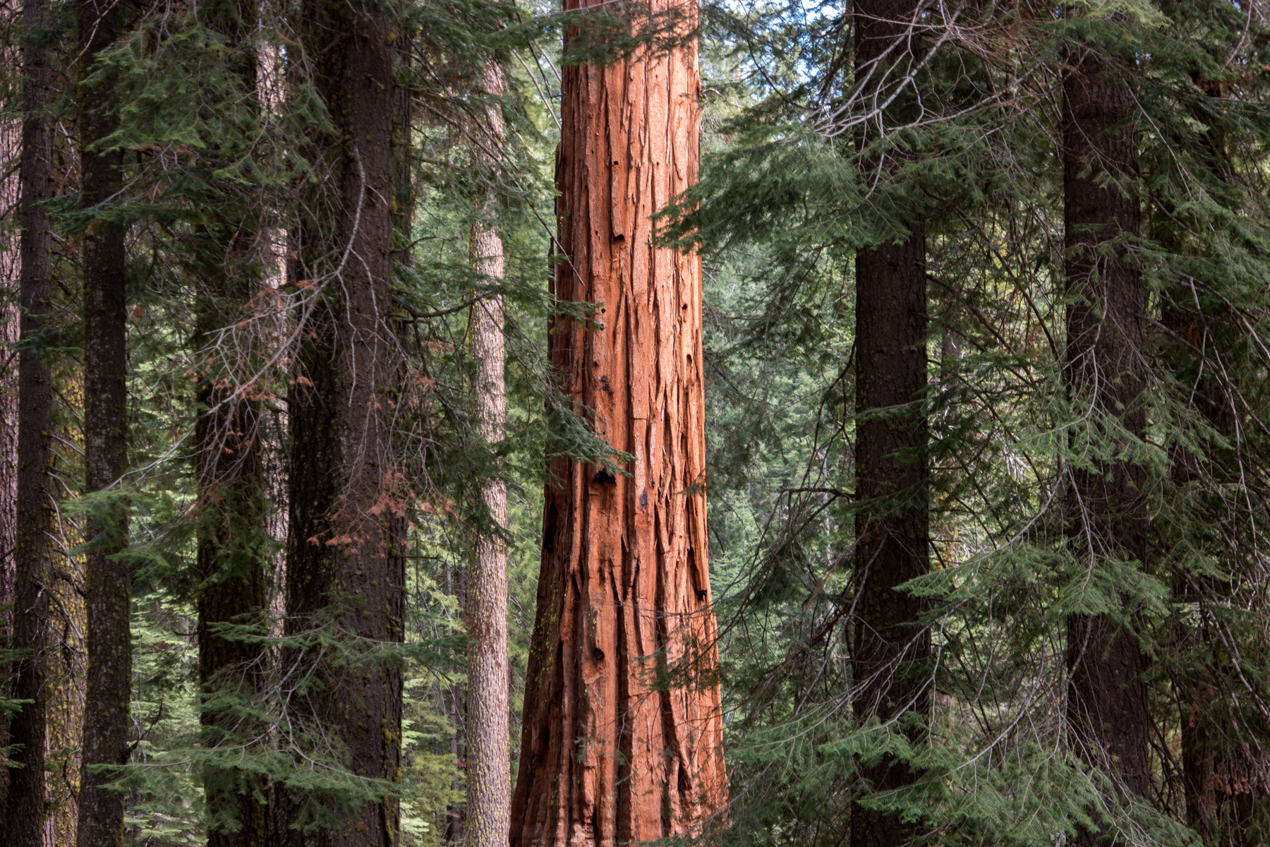
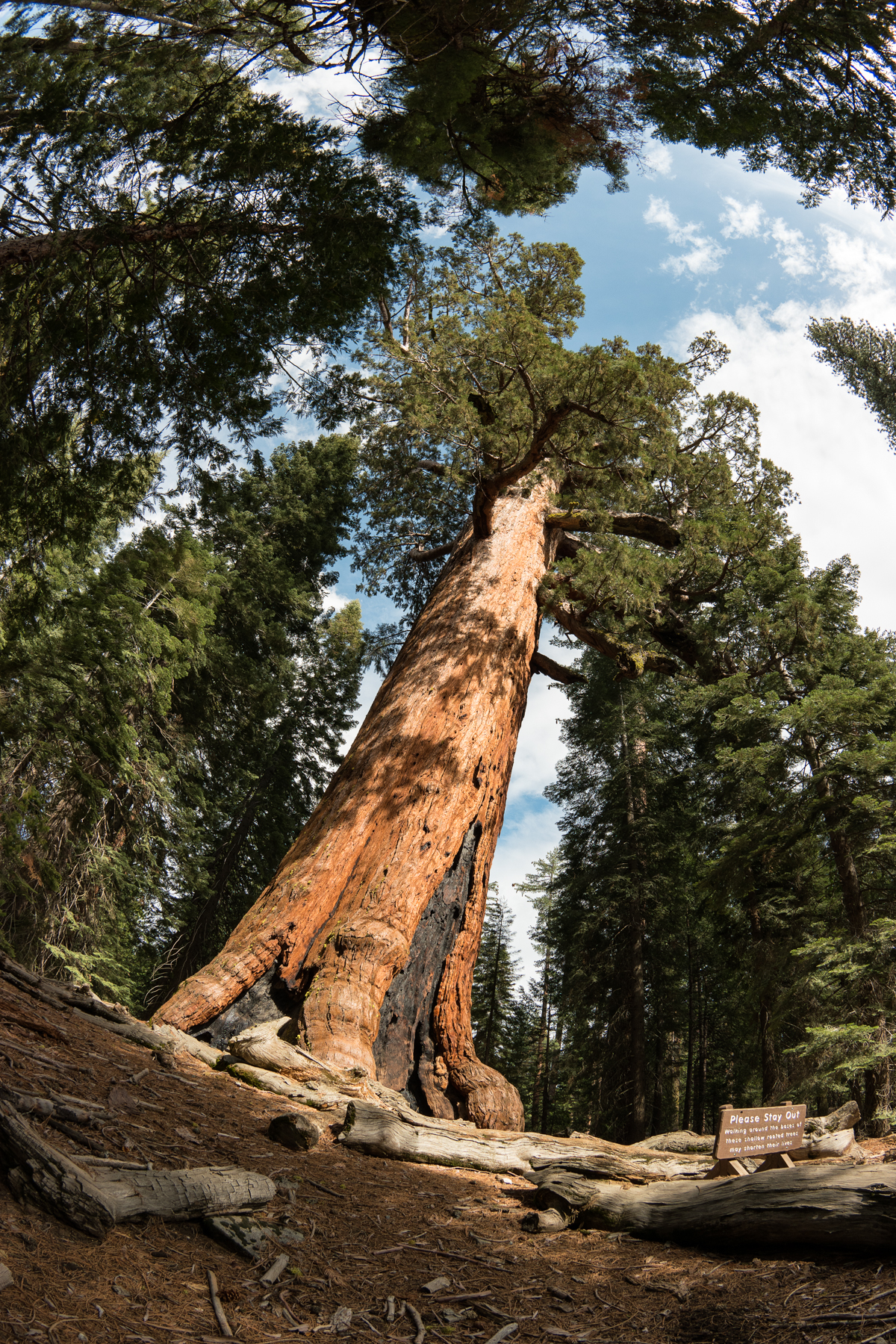
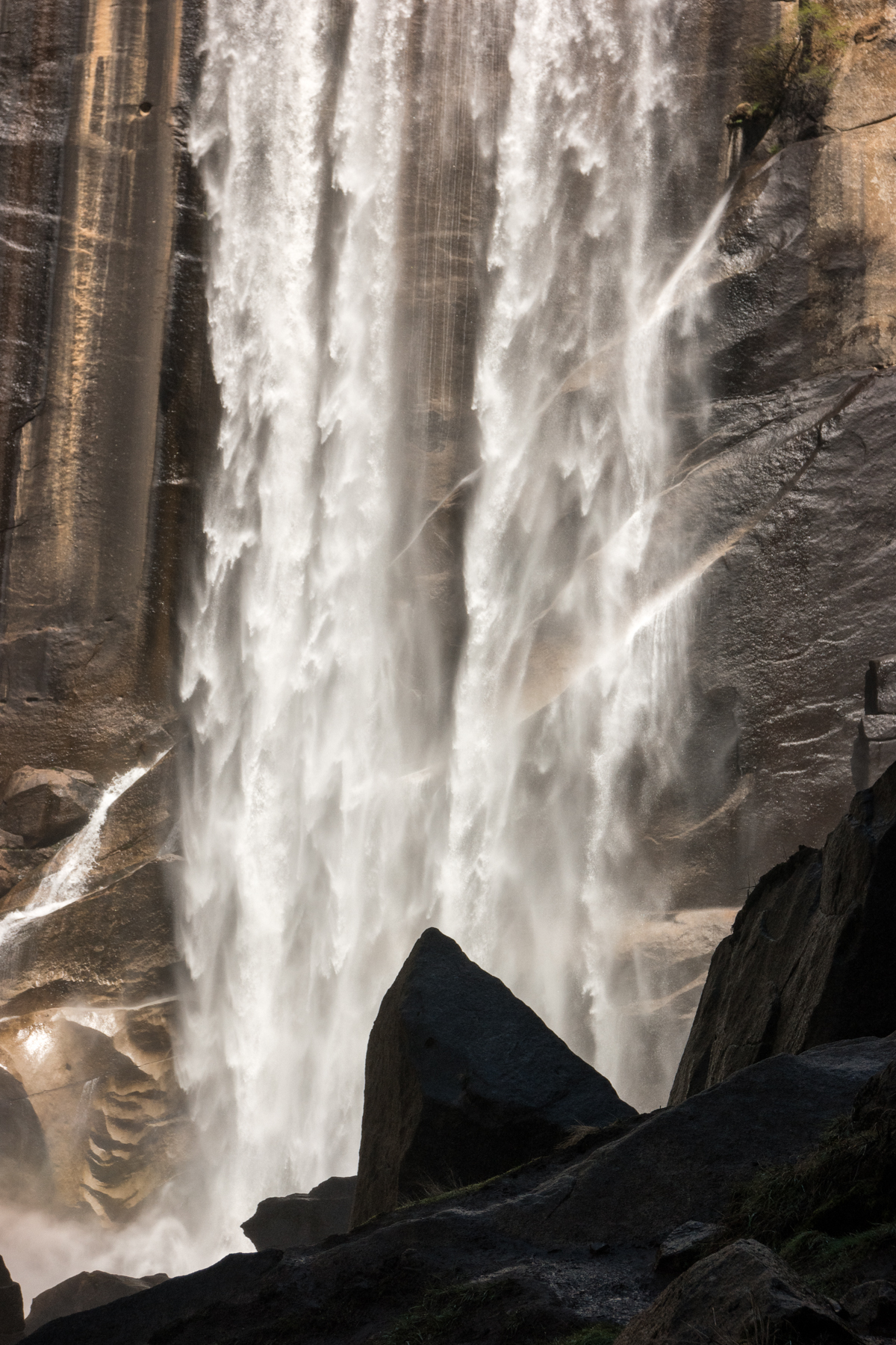
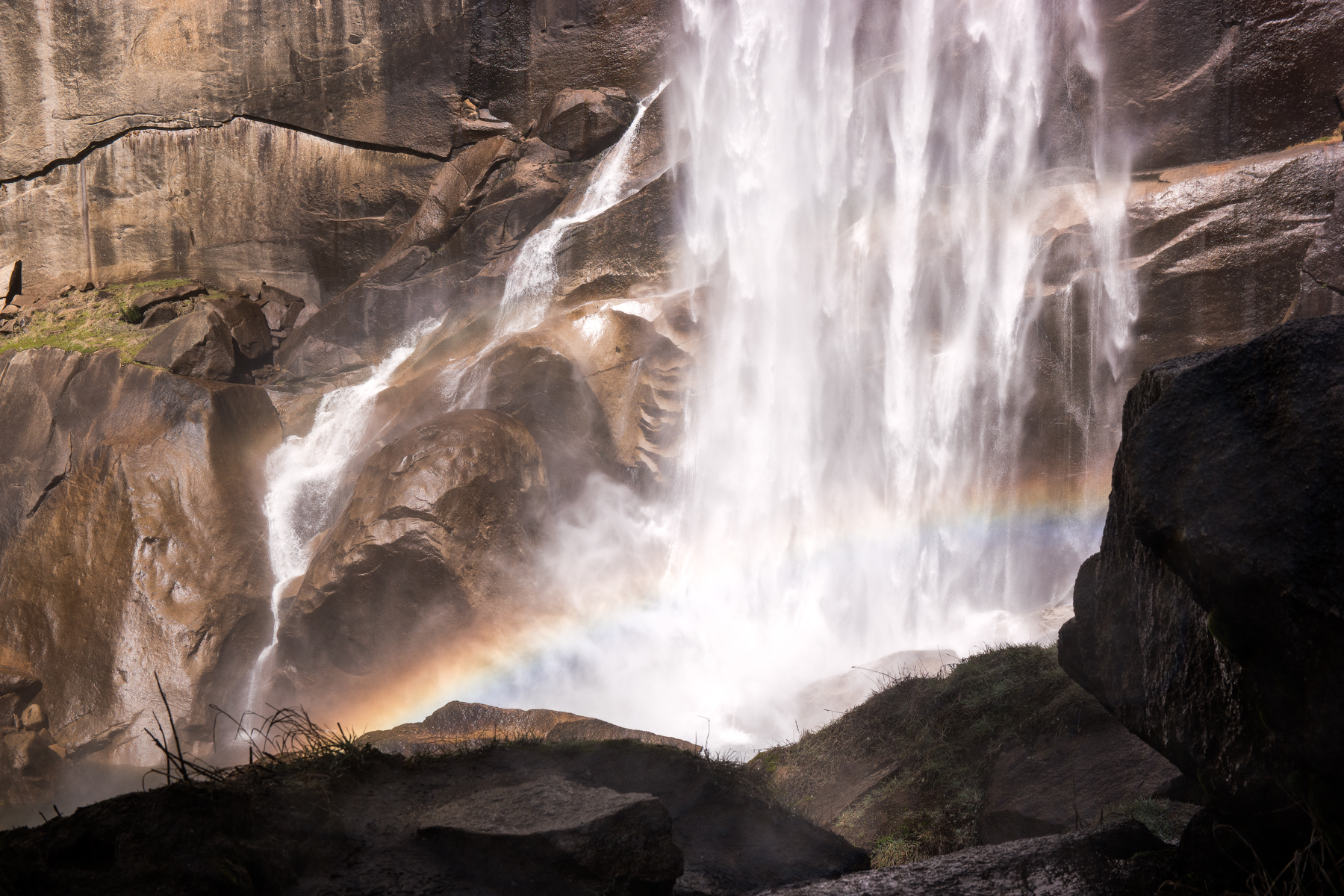
    The next couple of days were consumed with activity after activity that was sure to keep the kids busy and curious. As my cousin and her family biked through the valley, my aunt and I decided to hike our way to Mirror Lake. Then we spent a good half of a day making our way the Mist Trail to Vernal Falls, part of the John Muir trail. The falls were spectacular. We arrived as they were perfectly lit by the early afternoon sun and the perpetual rainbow displayed herself in all her glory. We then strolled through Mariposa Grove, where giant sequoias that are as old as Jesus, some of which that had trunks that reached 100 feet wide and that have survived close to 100 fires, towered proudly above us all.

    Wasim Muklashy Photography_April 2015_Yosemite_California_Samsung NX1_ SAM_8199_1800px

    Wasim-Muklashy-Photography_April-2015_Yosemite_California_Samsung-NX1_-SAM_8288_ForBlog

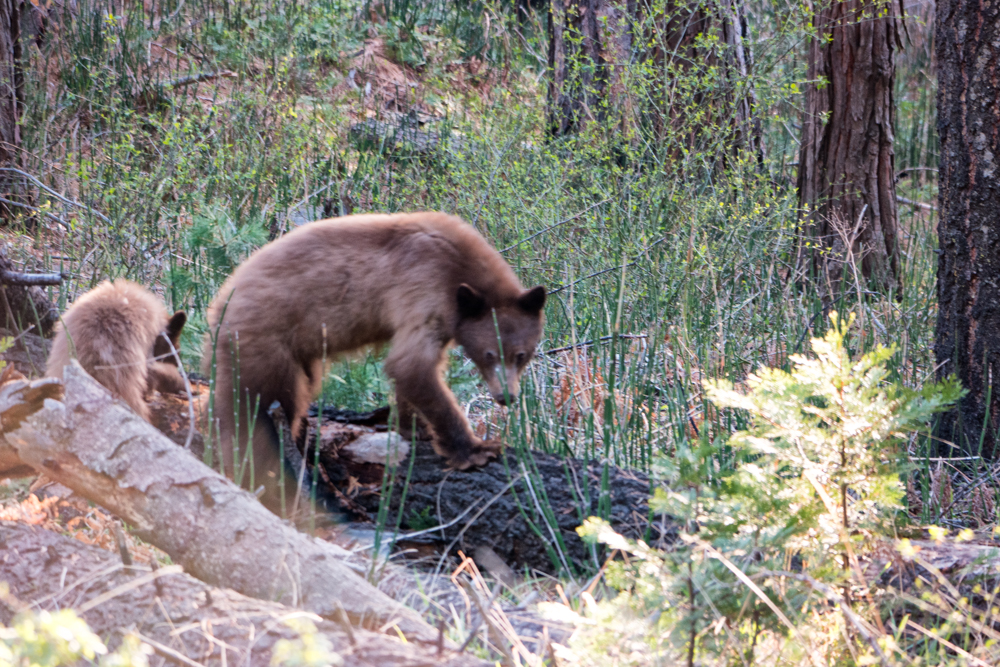
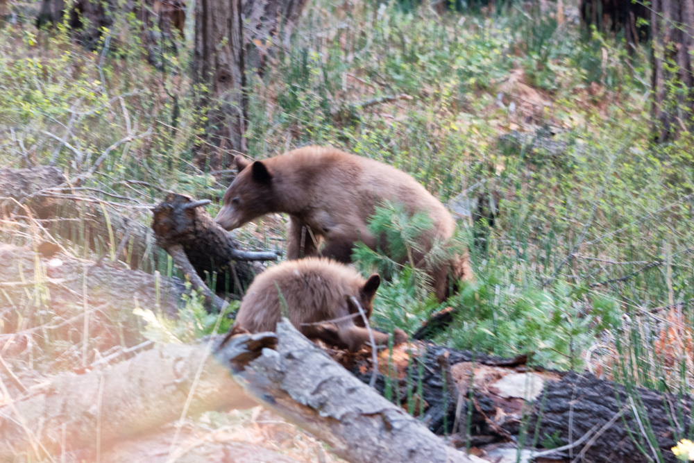
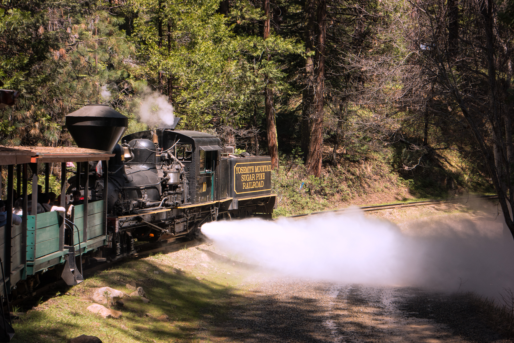
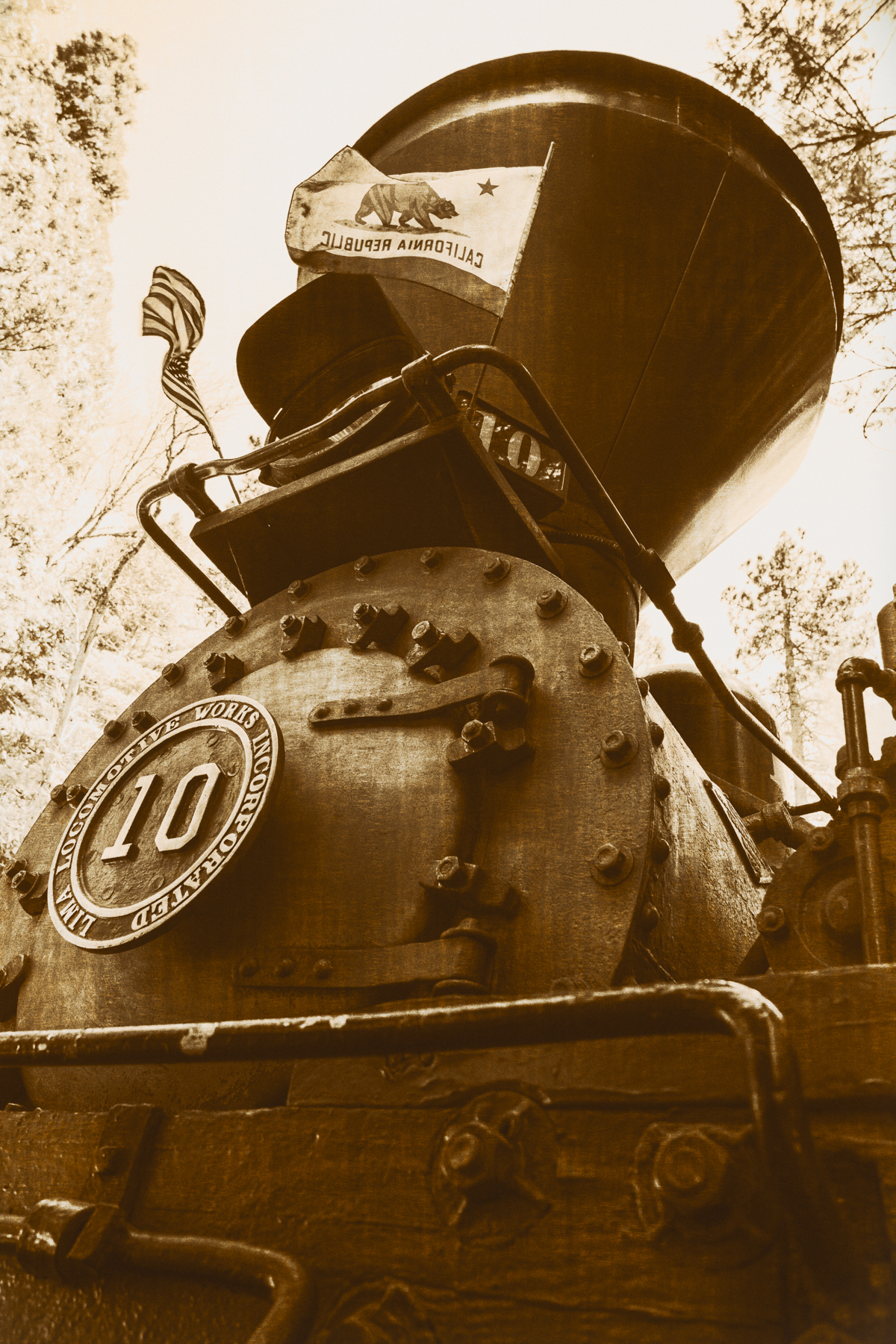
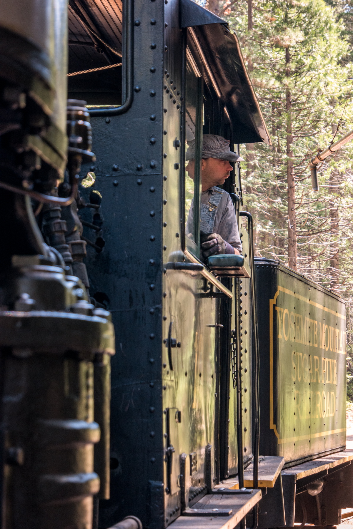
    We managed to make it to Glacier Point two evenings in a row for sunset. The first night we barely made it in time due to missing the turn onto Glacier Point Road, which, actually turned out for the better as this gave us our one and only bear sighting of the trip (I apologize in advance for the blurry picture, but, well, it was the best I could manage given the circumstances and our distance at the time), and to everyone’s delight, my cousin’s older daughter, the 8 year old, practically begged us to return the next night, our final night, for a proper showing. After a relaxing 4-mile ride on the Yosemite Mountain Sugar Pine Railroad‘s #10, the largest narrow gauge Shay steam train every built, we gladly obliged.

    Wasim Muklashy Photography_April 2015_Yosemite_California_Samsung NX1_ SAM_8379_1800px

    Anyhow, needless to say, photo opportunities greeted us every step of the way. Below is a gallery of some of my favorite images from the week, all of which were taken on either the Samsung NX1 or the new Samsung NX500, their latest 4k shooting mini-beast. That video below? Yup…shot on the NX500 with it’s kit 16-50mm PowerZoom lens (make sure to hit that little gear thingy icon and choose 4K). And to check out Stephen Chiang’s captures, many of which showcase his family and children in a very heartwarming and uniquely idyllic way, check out his Instagram feed. That’s one you’ll want to follow.

    So yeah, I know, I said I’d try to go easy on the words, but…well…uh…yeah…

    Canvas prints of some of these are available on my Crated site or my Fine Art America site. If you don’t see the one you like, please don’t hesitate to contact me and I’ll prepare it for print for you.

    Also, click here for a background wallpaper for your mobile devices from that trip.

    For more blatherings and nonsensical incoherencies: Instagram: @wasimofnazareth Ello: @wasimofnazareth Google+: +WasimMuklashy

    If you support the kind of work I’m doing and the things I’m sharing, please consider ‘subscribing to me’ on Patreon.com. Yup, subscribing to ‘me.’ You can even set the price. Literally, $1 per month if you want. No joke, your little helps me a LOT.
  • How To Perform A Quick Minor Composite In Photoshop

    How To Perform A Quick Minor Composite In Photoshop

    Wasim Muklashy Photography_Tuolume Meadows_Yosemite National Park_California_Samsung NX30

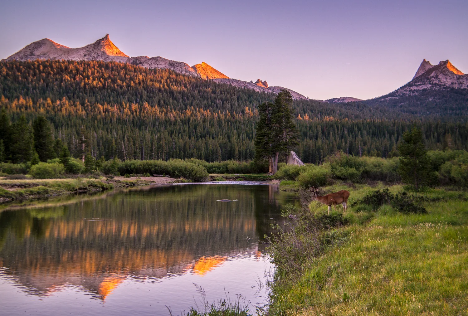
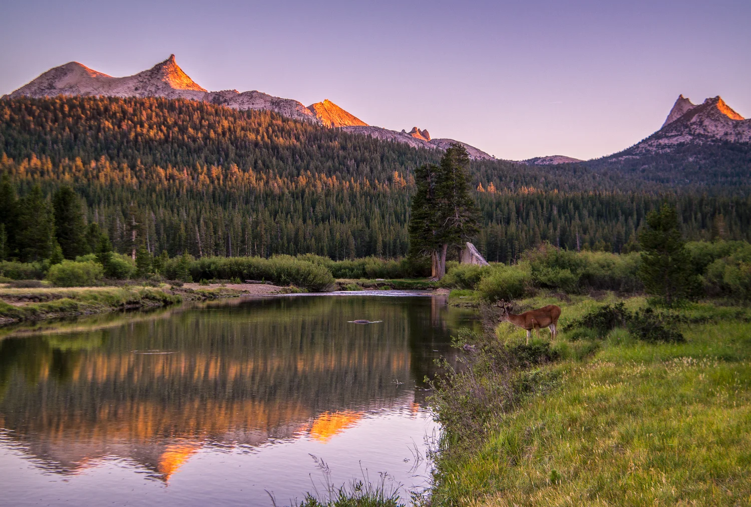
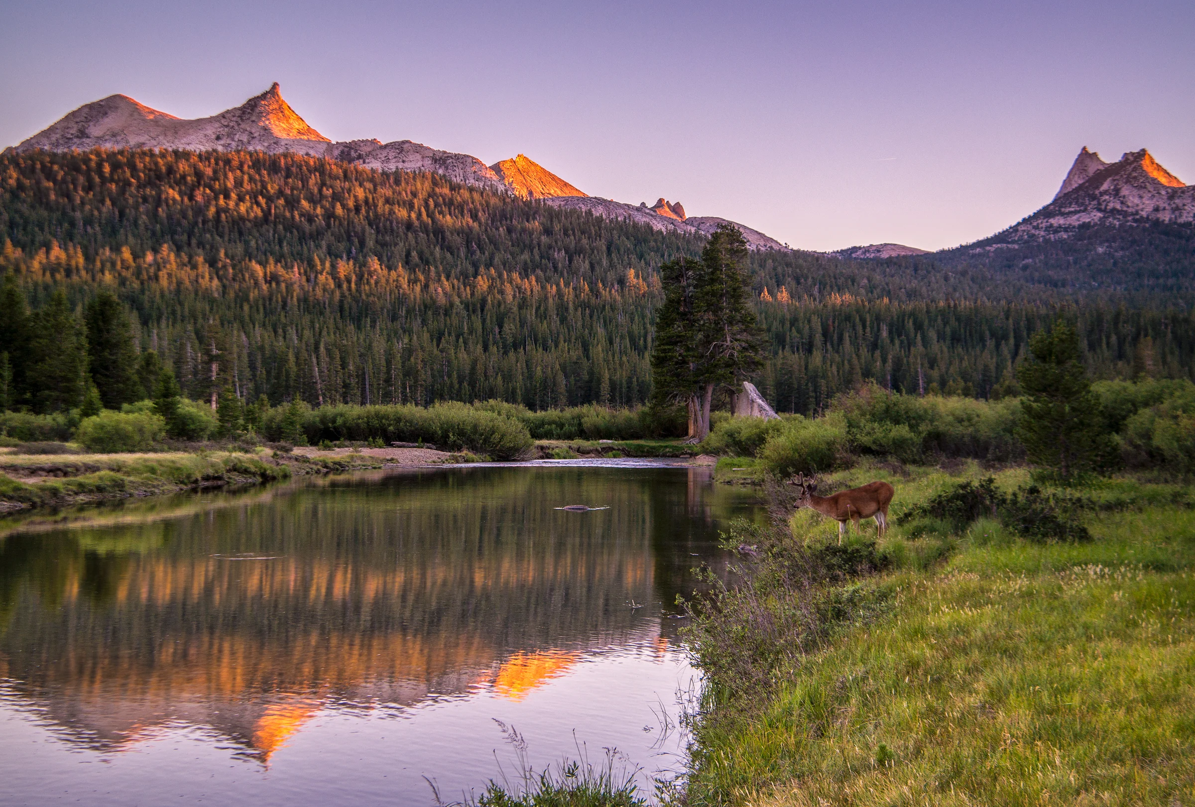
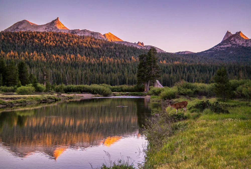
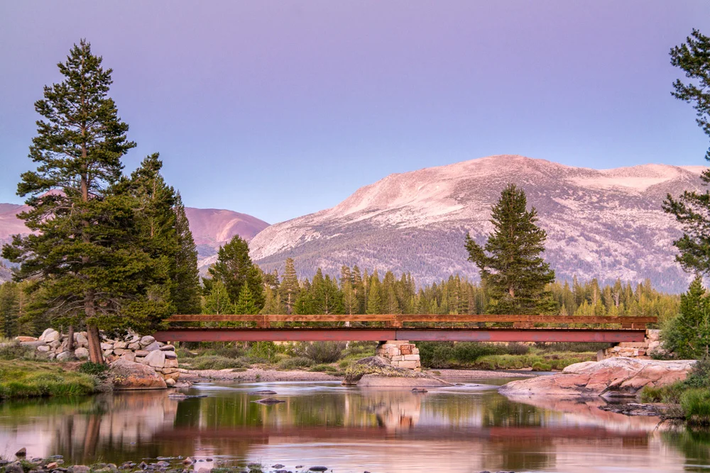
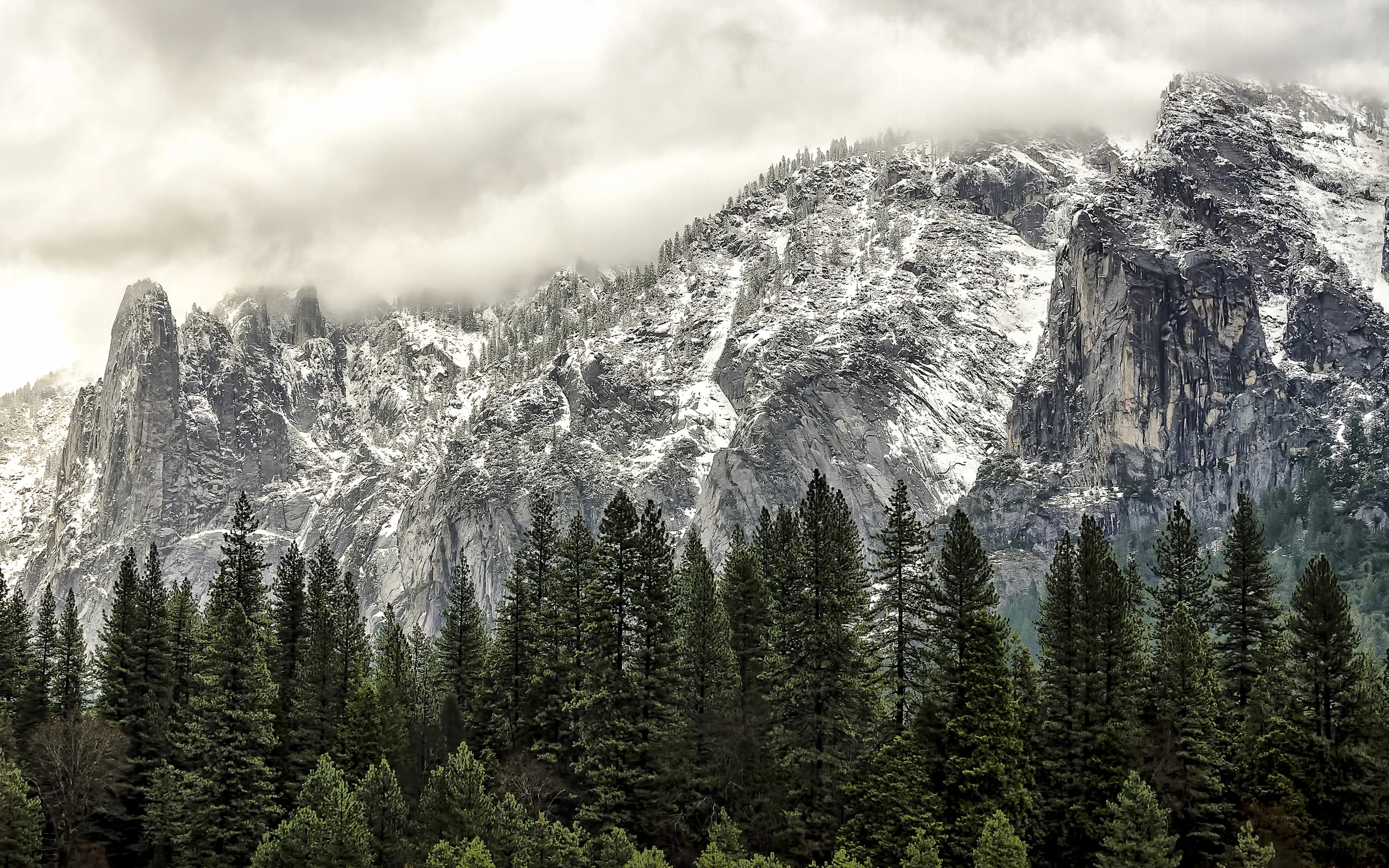
    As I was standing in Yosemite’s Tuolumne Meadows a few weeks ago, awaiting the sunset, I was on a sandbar off to the north side of the Tuolumne River east of bridge leading towards Soda Springs. As I stood there framing the shot, I got the elements I liked, and the light was just about to be perfect. The focus of this one was the light dancing upon the top of Cathedral Peak and Unicorn Peak and the trees on the ridgline below it. As the light started to bounce off those treetops and the peaks, I began to snap a few frames. I was delighted.
    About 2 minutes in, a lone deer decided to wander up and pose directly in the bare patch of grass in the foreground of my image. I damn near lost my mind. It looked at me, I looked at it. It turned away and just stood there. There was no doubt in my mind this was all about vanity, and it wanted its portrait taken. Who was I to argue? I immediately adjusted the exposure and

    Snap.

    Got the bugger.

    As soon as the shutter fired, he looked back at the water, up at the mountains, and walked away. It was like a gift from the Yosemite gods.

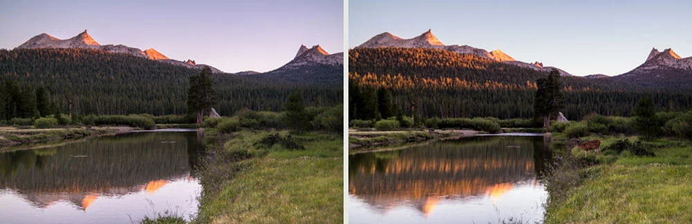
    After the deer left, I was still noticing the light on the top of the ridge line, so went back to my original plan, sans deer, and fired a few more frames.

    Wasim-Muklashy-Photography_Tuolumne-Meadows_Yosemite_National-Park_Deer-Composite-Tutorial_Comp

    When I got to the computer to check out the images, I noticed elements from each frame that I loved. In the one with the deer, I loved the light bouncing off the tops of the trees and, well, of course, the star of the show, the deer him/herself. But what I liked in the images I took after were the sharpness of the ridge-line that was lacking in the frame with the deer because I was focused on that element of the composition. Problem is, this frame didn’t have that second row of light on the trees, and well, it didn’t have the deer. This is were I thought to myself, it’s about time. Time to get my feet wet with composites. And this seemed like a relatively easy enough situation to do it. I was going to take that deer and the lights on the treetops from the 2 minutes earlier, and put him in the frame with the sharp mountain tops.

    My first attempt was to try to use the selection tool. Nope. Then I tried the magic wand. Definitely nope! Then I took the two layers, put the deer-less one on top, and tried using the eraser where the deer was. Absolutely nope!!

    At this point, I knew I was going to have to break down and figure out how to use a layer mask, but I had never really done it before. I first checked out a few tutorials on YouTube before I ended up consulting with my brother, who, as an animator and illustrator, has had some considerable experience in Photoshop. He walked me through it, and it seemed to work out perfectly. Here’s a brief video describing the method that I used to get the resulting image you see at the top of this post:

    The image was shot on a Samsung NX30 and a Samsung 18-200mm lens.

    And for more of my madness:
    Instagram: @wasimofnazareth
    Twitter: @wasimofnazareth
    Google+: www.Google.com/+WasimMuklashy
    Facebook: www.Facebook.com/WasimOfNazareth

  • A Surprise Journey Through The Range Of Light – Part 2 – Tuolumne Meadows, Yosemite National Park

    A Surprise Journey Through The Range Of Light – Part 2 – Tuolumne Meadows, Yosemite National Park

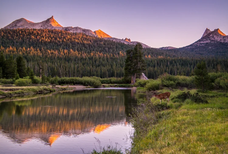
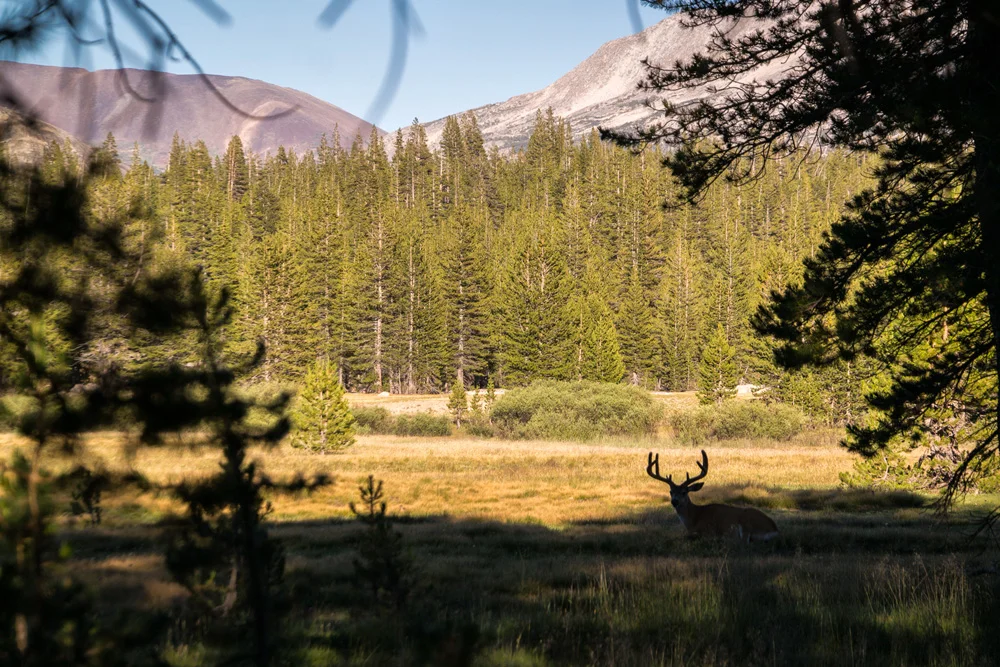
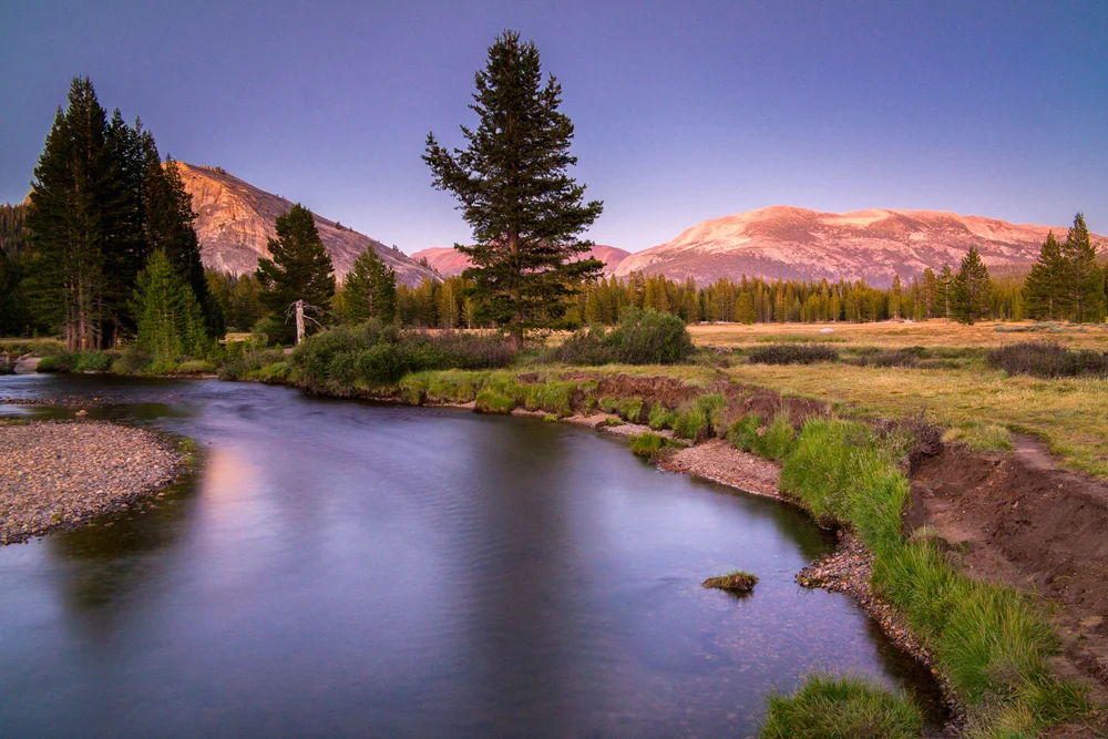
    Wasim Muklashy Photography_Tuolumne Meadows_Yosemite National Park_California_A Deer Pops in For A Drink

    This is just one of those places. You hear about it, you see pictures of it, you read about it, and if you’re a nature-lover or photographer, or better yet, both, you’d be hot damned if you that’s the one you didn’t get to cross off your bucket-list.

    Tuolumne Meadows, Yosemite National Park.

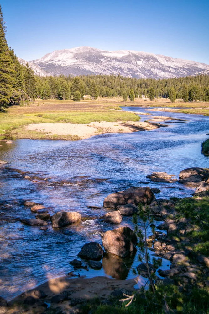
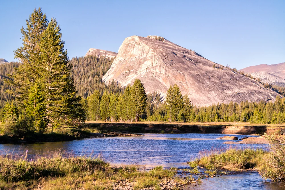
    The mystique around this place runs high. It’s been called a ‘photographers paradise,’ as well as one of ‘the most difficult places to photograph.’ The thing about it is, it’s closed off most of the year. The picture-perfect gentle alpine meadow bordered on all directions by soft granite domes and spires, and blanketed in pines and wildflowers and berries and natural grass, lies in the highest of high countries in the Sierra Nevada Mountains, so Tioga Road, the only one that passes through, is snowed in on average of 7 months a year, and on top of that, the meadows are ‘meadowed’ for only about 3 months of the year (as a local park guide so eloquently put it). Furthermore, those 3 months just so happen to be the absolute busiest months of Yosemite National Park’s schedule, but, as stated in Part 1 – Mammoth Lakes, there was no way I was not going to seize this unexpected and completely spontaneous opportunity to make my way to this alleged garden of Eden.

    Tuolumne Meadows, Yosemite National Park, California. Summer 2014.

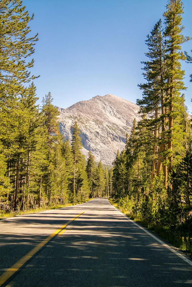
    I pulled onto Tioga Road at about 4pm, with about 4 hours before sunset, which I figured was enough time to at least explore a bit and find a place I was going to call camp for sunset. As I wind my way up and through the Tioga pass from Lee Vining on the Eastern Sierra side, I slowly rolled through the sort of landscape that dreams and fantasies are made of, the kind of place you thought only existed in cartoons and psilocybin – crystal clear sky blue cascading streams and rivers snaking their way through saturated green grasses and tress of various sizes and varieties, flanked by sun soaked rolling hills comprised of rolling granite domes and lodgepole pines.

    As I drove through at about 10 miles per hour, I literally found a tear in my eye – I was in absolute awe of some of the most striking, insanely unreal scenes that would trump a psychedelia-soaked dream. I won’t lie. I was overwhelmed. How the hell was I going to only spend 5 hours here?

    I figured since I only had this afternoon, I’d stop by the visitor center and ask for a few tips. The nice lady was hesitant at first to give out one of her favorite spots and secrets, but after she found out I was a State Park volunteer, she figured she was in safe territory and loudly ‘whispered’ a tip. I thanked her kindly, and went to follow her tip as I made my way around a particular dome. I hiked in for about 35 minutes before realizing I had no flashlight to get back out, and this was bear country, and I was finding myself in a maze that wouldn’t be ‘fun’ to try to scramble out of after dark. While the landscape was absolutely breathtaking as I followed the river through a forested part of the meadow, I had a scene in my mind  and this was taking me away from it. I wasn’t going to be able to get the sunset colors with the snaking stream through the meadow I had envisioned. After a quick glance at the clock, I had to make a decision quick as I was less than an hour from sunset. I hastily decided to hike back out, and head down the road to a more open part of the meadow and just hope I can find something I’d be happy with.

    Tuolumne Meadows, Yosemite National Park, California. Summer 2014.

    I truly felt so overwhelmed, that I was absolutely certain that I wasn’t going to get a shot because I made the fatal mistake of running around looking for the best one, but made peace with it when I just figured I’d come back the next day now that I have a bit of the lay of the land. And I certainly wasn’t going to cry about that. Plus, I may not get the shot I had envisioned, but, I’m in Tuolumne Meadows at sunset, I’m sure as heck not walking out with nothing!

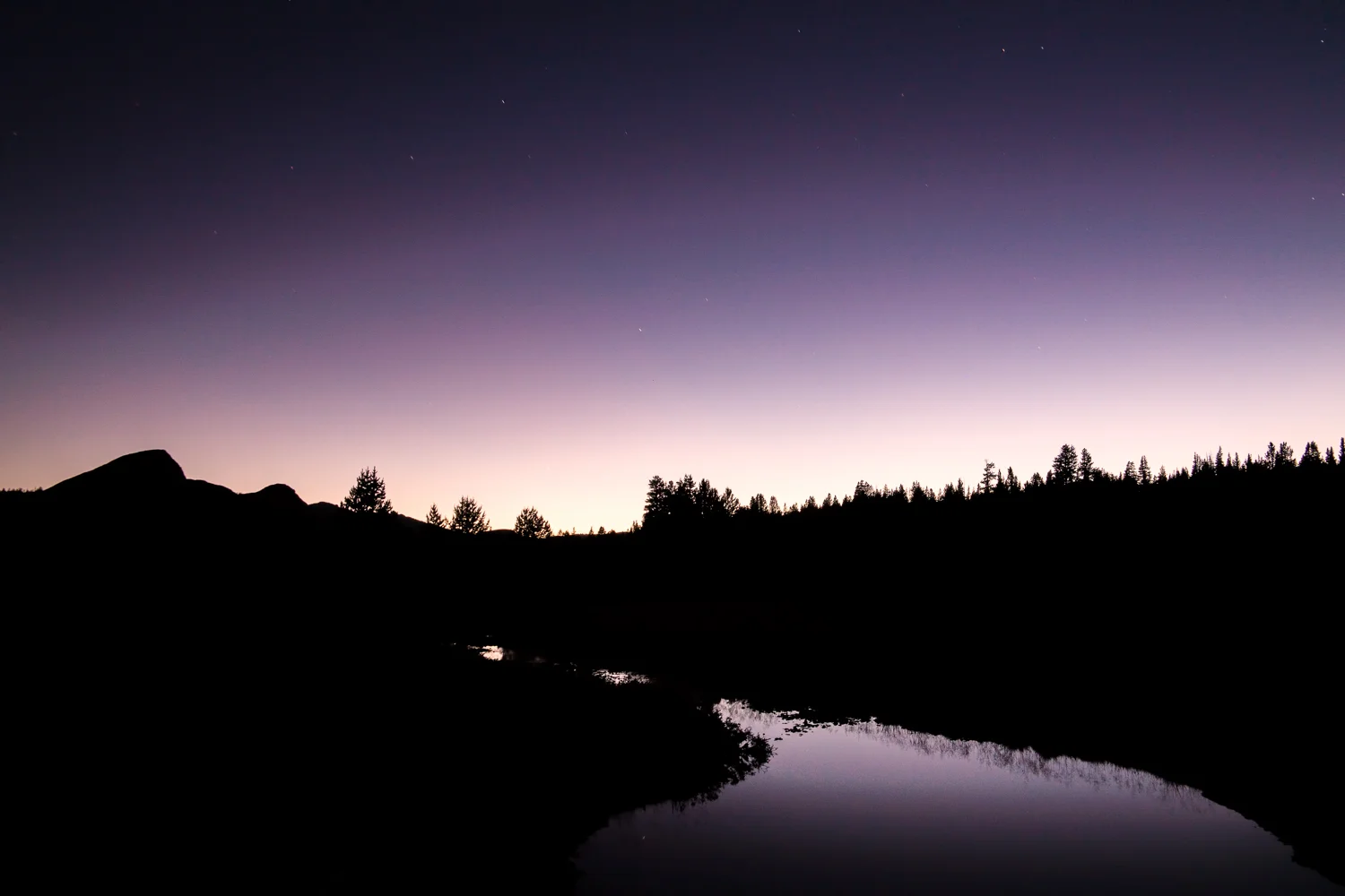
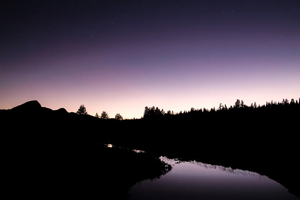
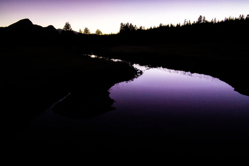
    So I slowed my roll, took a breathe, and decided I was just going to enjoy this one. I hiked into the riverbank, sat on a rock to soak in this paradise, and right at that very moment, is when I found and saw my shots. All within striking distance of where I started walking around like a crazed half-bearded madman. The most surprising was a shot that ended up being one of my favorites, it was well after the sun had set, and I had already packed my gear and was using my phone’s flashlight to find my way back out to the road. That’s when I ran across the purple twilight light reflecting in a small pond and playing with the shadows of the landscape just off the path. I had to do it – I pulled out my gear, set up, and spent about another 30 minutes after dark playing right there in that area.

    Twilight Over Tuolumne, Tuolumne Meadows, Yosemite National Park, California. Summer 2014.

    So here’s a bit of a gallery of my favorite images from that afternoon, all of which were shot on a Samsung NX30 using a Samsung 18-200mm lens.

    For Part 3, Mono Lake, click here.

    And in case you missed A Surprise Journey Through The Range Of Light – Part 1 – Mammoth Lakes, click here.

    And for more of my madness: Instagram: @wasimofnazareth Twitter: @wasimofnazareth Google+: www.Google.com/+WasimMuklashy Facebook: www.Facebook.com/WasimOfNazareth

  • Thank Apple’s OS X Yosemite Announcement For This Collection Of Desktop & iPhone WallPapers

    Thank Apple’s OS X Yosemite Announcement For This Collection Of Desktop & iPhone WallPapers

    Wasim_Muklashy_Photography_Apple OS X Yosemite_Coming Round The Mountain

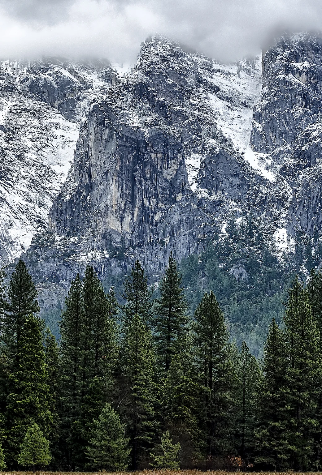
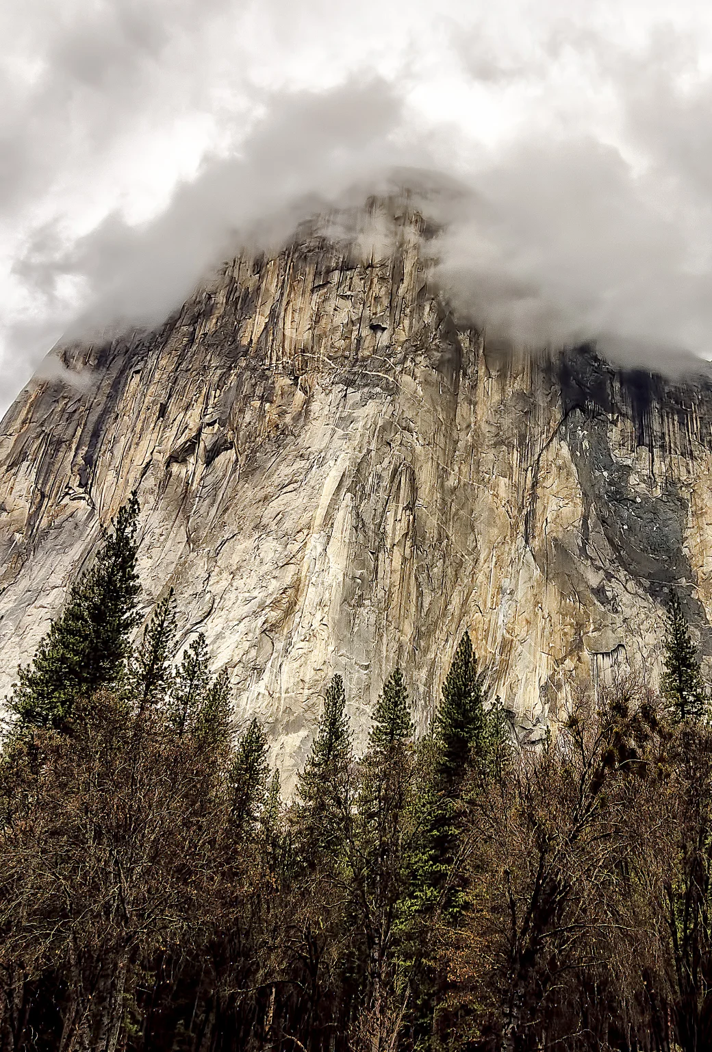
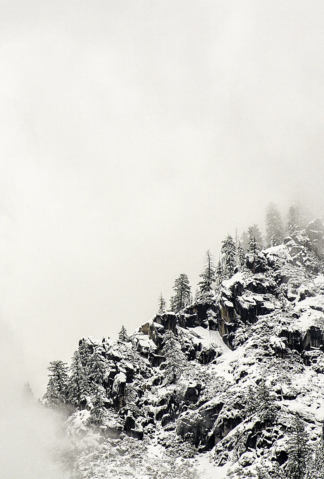
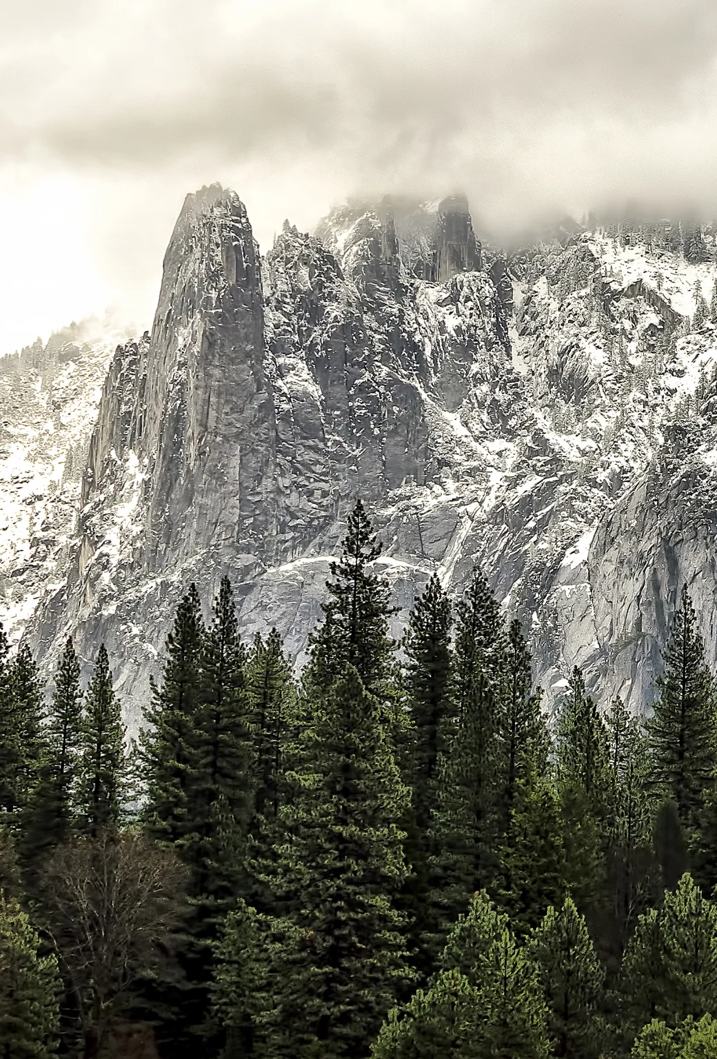
    In honor of Apple’s latest operating system announcement, OS X Yosemite (which, if you know me, that word alone gets me excited) I figured I’d rehash some of my images from my Yosemite adventures last year. In case you don’t want to (or can’t) wait until the fall for the official release, after the ‘read more’ break below, you’ll find a few of my favorites optimized for your desktop backgrounds, and below those are the iPhone-optimized versions. To save them, just right click and choose ‘Save Link As…’ And as always, if you’re on Android or another platform, I don’t want you to feel left out. Just contact me and let me know what your device is and I’ll format it for you.

    Also, for a brand new mobile phone background from a recent trip to Yosemite, click here. And for the rest of the images from my more recent Spring 2015 trip back to Yosemite Valley, click here.

    And for more of my madness:
    Instagram: @wasimofnazareth
    Ello: @wasimofnazarethGoogle+: www.Google.com/+WasimMuklashy
    Facebook: www.Facebook.com/WasimOfNazareth

    Enjoy…

    Wasim_Muklashy_Photography_OS X Yosemite_A Slice Of Yosemite Layer Cake

    Wasim_Muklashy_Photography_OS X Yosemite_Rolling Through

    Wasim Muklashy Photography_OS X Yosemite_Tunnel View

    Wasim Muklashy Photography_Apple OS X Yosemite_spirits in yosemite wide.

    Wasim_Muklashy_Photography_Yosemite_Lady_In_White_Apple OS X Yosemite

    Wasim Muklashy Photography_Apple OS X Yosemite_half dome after the storm.

    Wasim Muklashy Photography_Apple OS X Yosemite_el capitan dares you.

    Wasim Muklashy Photography_Apple OS X Yosemite_coming round the mountain.

    coming round the mountain.

    el capitan dares you.

    half dome after the storm.

    Wasim_Muklashy_Photography_Yosemite_Lady_In_White_iPhone5

    spirits in yosemite wide.

    rolling in.

    rolling through.

    a slice of yosemite layer cake

    Please keep in mind, I still hold the copyright to these images. They are provided for you to download for personal use only. If you would like to license one of these images, please contact me.

  • 3 National Parks, 3 States, 2 Weeks, 1 Crap Bag – Part 6 – They Could Have Been Serial Killers!

    3 National Parks, 3 States, 2 Weeks, 1 Crap Bag – Part 6 – They Could Have Been Serial Killers!

    Image asset

    Oh yes…it was incredibly striking how the landscape changes immediately…literally immediately once you cross the border from Utah into Colorado. The golden red sand and tan desert hues that were the prominent feature for the past 5 days begin to melt away within mere miles of crossing over that invisible line, and they’re replaced with a green, lush, and seemingly more oxygen friendly palate. It was striking how quick and abrupt the transition was. After about an hour of climbing up a mild grade along increasingly green roadside fields and streams and rolling hills filled with meadows and rivers that could compete with the Palouse, it started to get steeper and steeper. After shaking off the plains of the desert behind us, it was hard not to embrace the fact that we were headed into arguably the most magnificent mountain range in the country…the Colorado Rockies. Not a bad introduction to the second half of this trip. 

    Being a huge mountain and running water and tree and forest guy, this is the point when my intuition coerced me sit back and just marinated in the environment that we were floating through. I immediately felt at home.

    Image asset

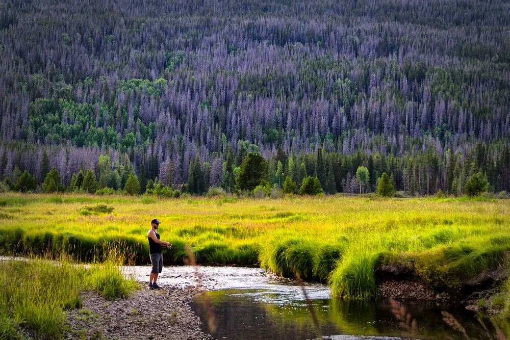
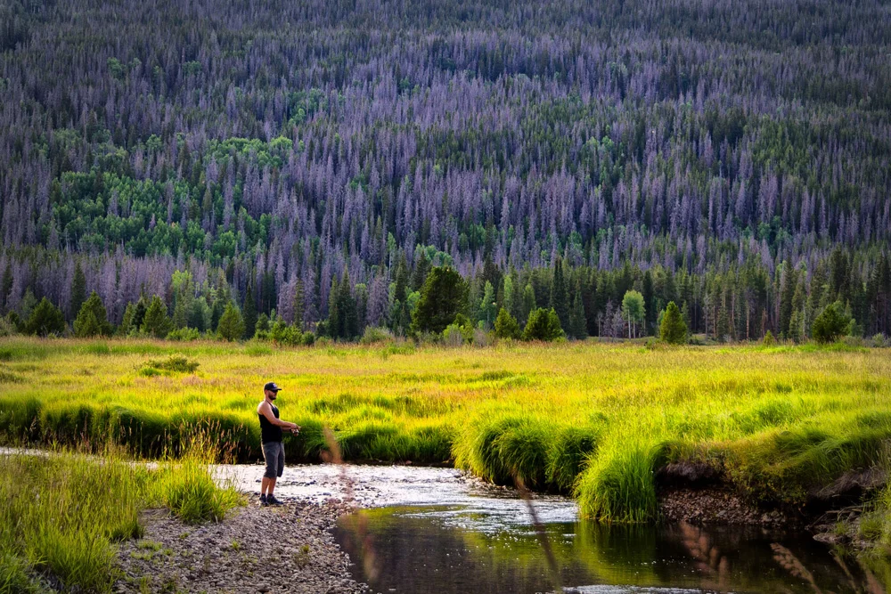
    Our first proper stop in Colorado was about 3 hours in. My friend that joined me on this trip was itching to go fishing from the moment we left Los Angeles, and as we rode alongside a grand rushing river, it was killing him not to stop. Granted, I had no complaints, so we found a small town called Hot Sulphur Springs that ran right along the Colorado River. While he pulled out the tackle box and the rods and set up shop along the banks, and I decided to wander the town a bit – get a feel for this seemingly mythical landscape.

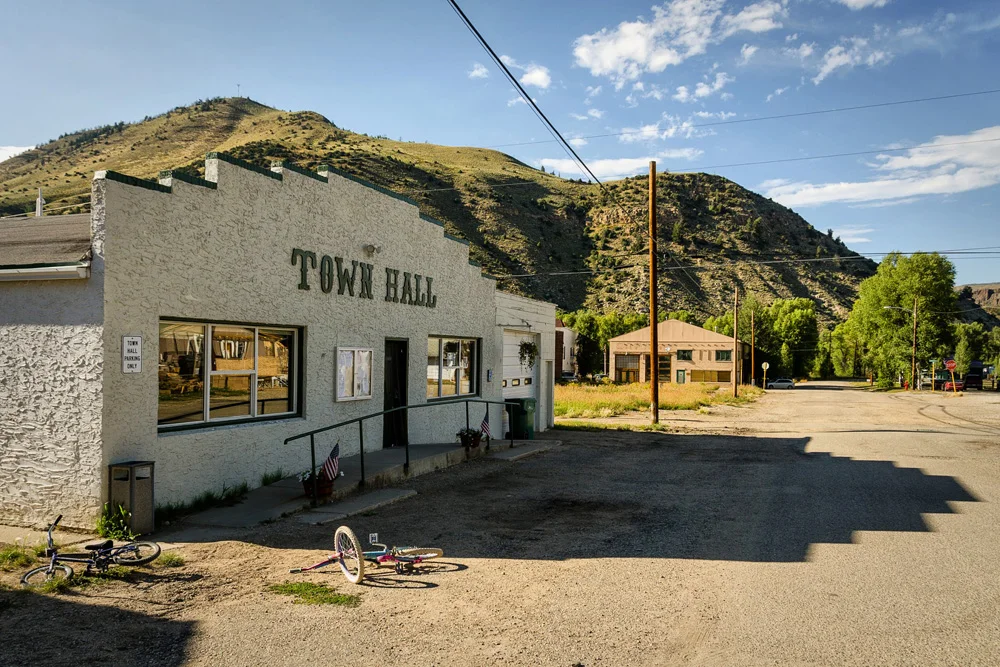
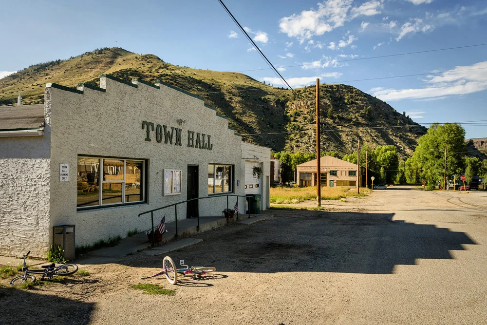
    What I found in Hot Sulphur Springs was the kind of place where the local children tube down the river that connects their backyards, where the remains of an old ‘mercantile’ store sit beside the ancient whitewashed brick building that still serves as a post office, where children’s bikes are left strewn about in front of the ‘Town Hall,’ where the trout run rampant and the sheriff stops in just to say hello. The sort of place where a stranger sees you walking in the streets, asks where you’re headed, and then offers you a ride (yes…that happened…not once, but twice. Coming from L.A., I had no idea what to do with that).

    This sort of place. Is Colorado.

    After a little more than an hour of hanging out in this charming town, it was time to get back on the road. We still had to make it through Rocky Mountain National Park, over the ‘hills’ that divide the East and West of our great country, down through Estes Park, and finally into Loveland, Colorado, along the front range of the Rockies, where a mutual friend that was putting us up for a few days lives and was waiting for us with a fresh home cooked ‘supper.’

    Now, if the day ended at this moment, it would have been a perfect day, but it didn’t, and what it still had in store for us blew my hot damn mind into stratospheres I have only thus far read about and admired from calendars and picture books and vague recollections of out of print geography class text books. The next leg of our trip was taking us directly through Rocky Mountain National Park, and as soon as we entered that gate, it was like Mama Nature’s magic wand went ballistic.

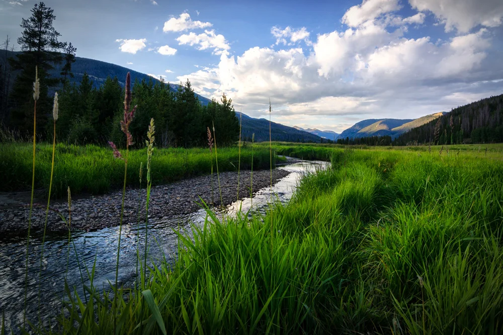
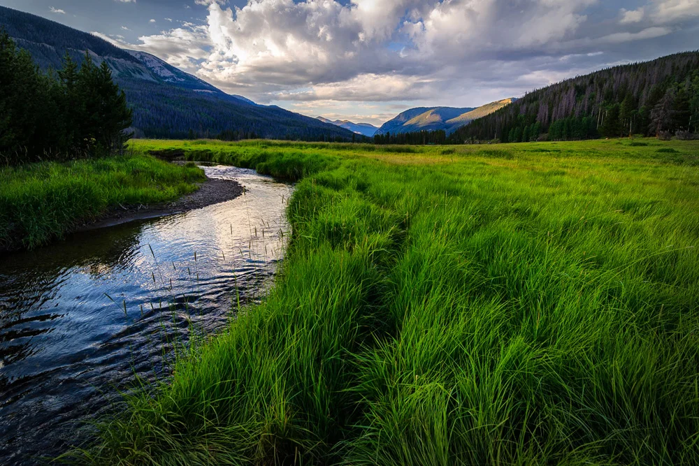
    We rode into the official park entrance along the 34 highway, otherwise known as Trail Ridge Road, just as the sun began it’s decent over the western range of the valley, and we couldn’t have been in a more perfect position. The centerpiece of this part of the park is an insanely stunning elk and deer-laden meadow that stretches a solid couple of miles through the center of a valley flanked by aspens and Douglas firs and purple ponderosa pines. When the sun is setting in a flawless meadow, and everything starts to glow pink and purple and gold, there’s only one thing you’re required to do – hit the bloody brakes and get out of the car.

    Now.

    Image asset

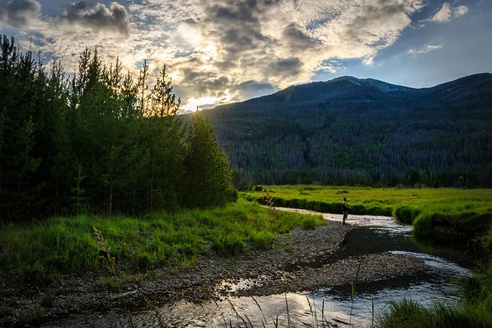
    We parked alongside the road, I grabbed my camera, and ran directly out into the middle of the meadow. By now, my buddy knew the drill…I was gonna be a while. So he gave in and gladly grabbed his fishing pole, and jumped into the stream. He did his thing and I did mine. I felt like a frickin’ child running around and ducking and hiding and frolicking in the 3-foot tall blades of grass, grabbing every angle and light beam and cloud formation I can in my viewfinder before the sun disappeared behind the range. This went on for a good 45 minutes where nothing. Else. Mattered. And this was the sight where I made some of my favorite images of the trip.

    Image asset

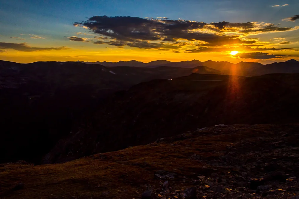
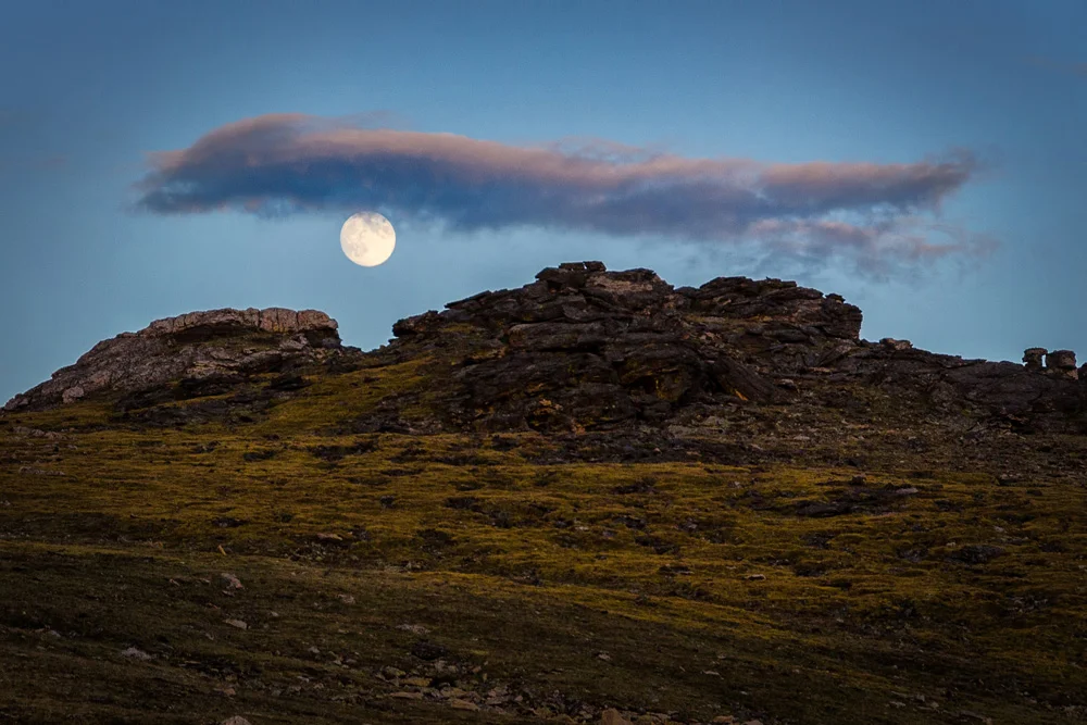
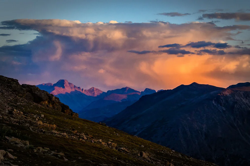
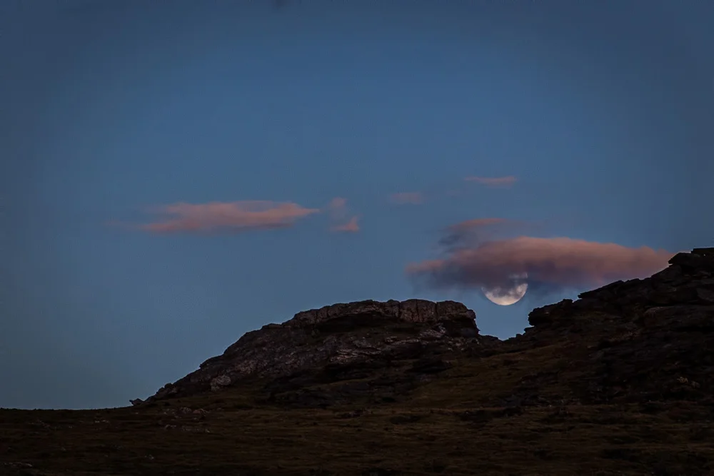
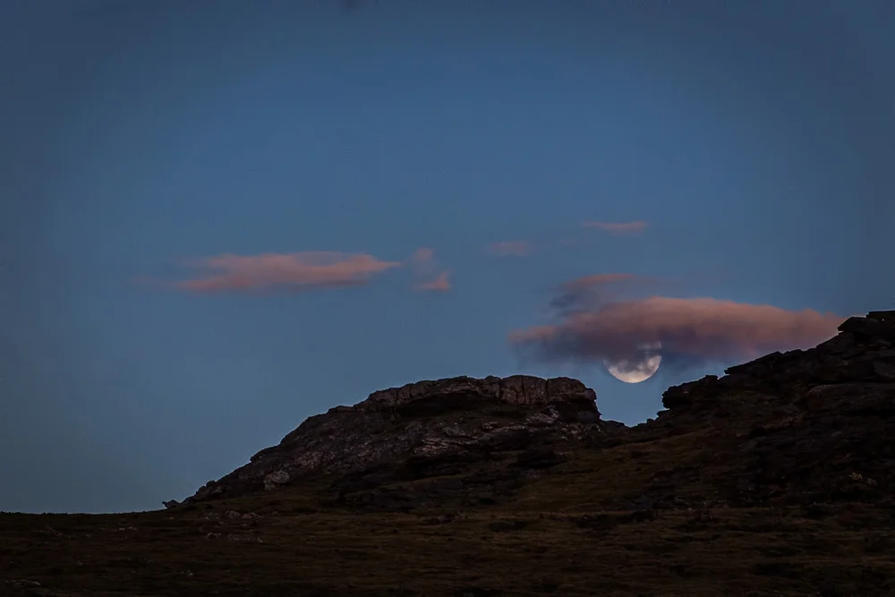
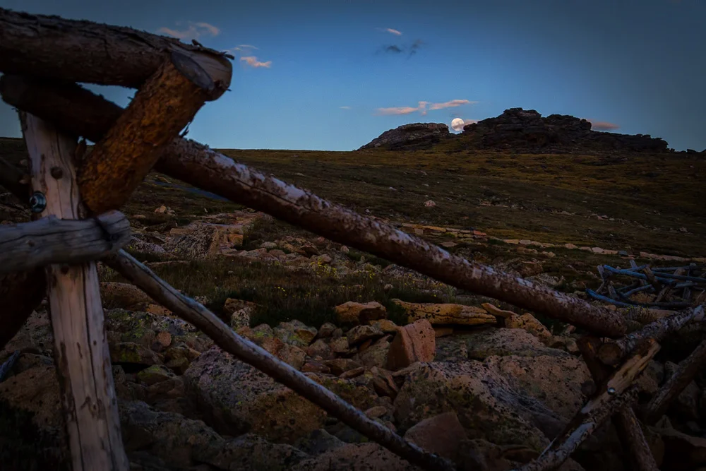
    However, there was still a good drive ahead of us to get through the park and over onto the front range and we knew that. What we didn’t know was the surprise that awaited us just a few miles up the road…I don’t know why it didn’t even occur to us until we were in the midst of it, but all of a sudden, we’re driving, the trees begin to disappear, we realize we’re way above the tree-line and that’s when we saw it…the sign: Continental Divide – 11,000 feet. We were literally at the top of the Rocky Mountains, the dividing line where the East meets the West, the top of the fence from which the waters flow east into the Atlantic and west into the Pacific. We were driving along a ridge line where we were simultaneously watching the sun set on one side and the moon rising on the other. The timing was psychotically impeccable. And in this situation, when you’re literally on top of the world, there’s only one thing you’re required to do – yup…you guessed it, hit the bloody brakes and get out of the car!

    This is where I’ll let the pictures in the gallery at the end of this post try to do the talking/typing…they won’t nearly do it justice, but, well, it might just be one of those things you have to experience for yourself. It’s like that.

    Now the sun was down, the moon was up, and we hunkered back down in the car for the 2 hours that lie ahead of us through Estes Park and into Loveland, Colorado. We rolled in to our friend’s casa, exchanged hugs and pleasantries, and did what any group of long-separated friends do when they get together…ate and drank. We popped open a bottle of wine, settled down on the table outside with our plates of fresh salmon, asparagus, and grilled vegetables and laughed and drank and merried til’ we passed out, one by one, in the warm summer air – the sounds of Coloradoan crickets and distant rush of the Big Thompson river lulling us to sleep.

    zzzz…

    If you’ve only just joined me on this “3 National Parks, 3 States, 2 weeks, 1 Crap Bag” journey, and would like to start at the beginning, click here.

    Til next time…

    For more of my madness: Instagram: @wasimofnazareth Twitter: @wasimofnazareth Google+: www.Google.com/+WasimMuklashy Facebook: www.Facebook.com/WasimOfNazareth

  • 3 National Parks, 3 States, 2 Weeks, 1 Crap Bag – Part 5 – Hoodoo the Voodoo & Melee at Moab.

    3 National Parks, 3 States, 2 Weeks, 1 Crap Bag – Part 5 – Hoodoo the Voodoo & Melee at Moab.

    Image asset

    So we made it out of the Narrows, and with that, our days in Zion National Park come to a close. Under normal circumstances I’d say this was a shame, but these aren’t normal circumstances. We still have two National Parks to go on the way to a week in Colorado to celebrate a good friend’s wedding, so if we’re going to leave Zion, might as well do it on a high note, and if you’ve been following along the last several posts, we’re definitely coming out on top. Our next stop was Bryce Canyon National Park, so after our Narrows and rodeo adventure and a late night arrival and camp setup, there was no doubt that sleep was going to be no problem at all.

    And it wasn’t…after a meal of delicious hot link ramen and a bottle of wine over a stubborn campfire of course. 

    Image asset

    Bryce Canyon National Park Utah

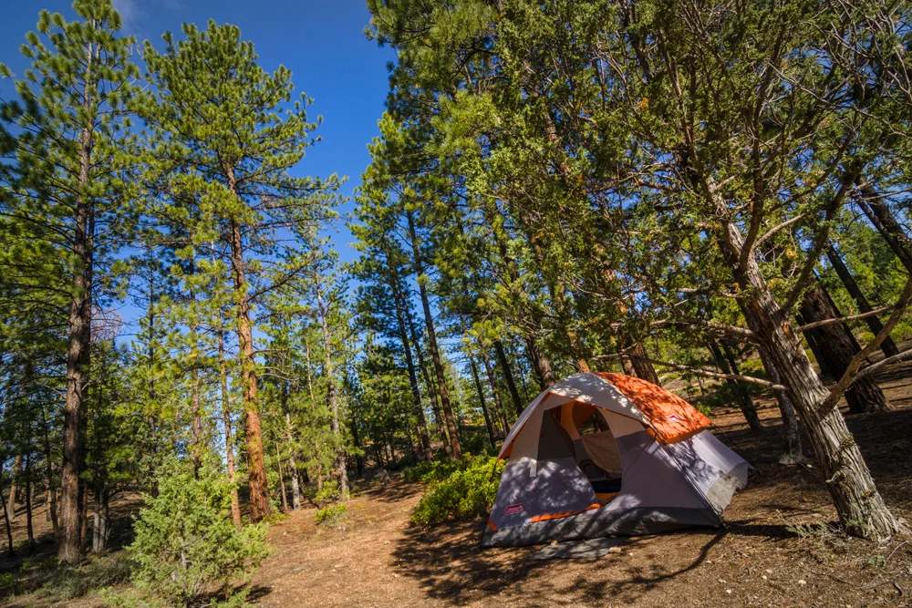
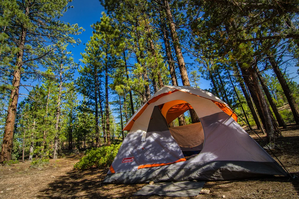
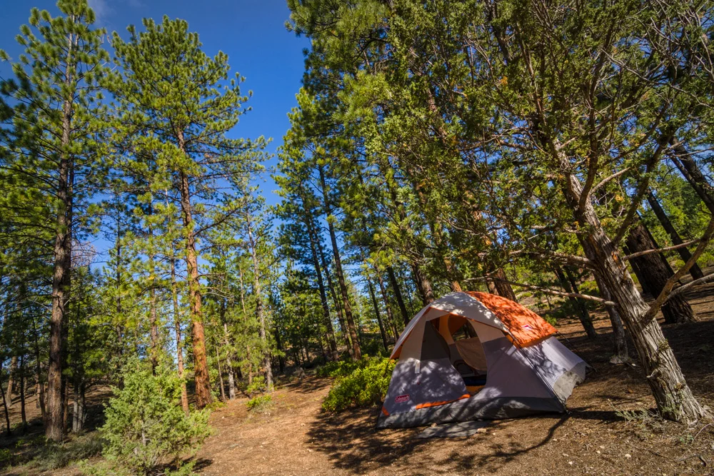
    We awoke the next morning to the smell of fresh pine and morning dew. I looked out the tent window and got my first glimpse of our environment as it was way too late and dark to see where and what were in for when we got in the night before. I almost felt like I was in the familiar Sierras…sitting in the shade of pine needles, brisk morning air that coupled perfectly with a steaming cup of coffee as the final remnants of the night fog transformed into evaporation on its way over the hillside behind our campsite. It was also this moment when we discovered the evidence of what seemed to be a large storm that had made its way out of the area no more than a few hours before we arrived – the puddles, the damp dirt, the water dripping down the embankment behind the campsite.

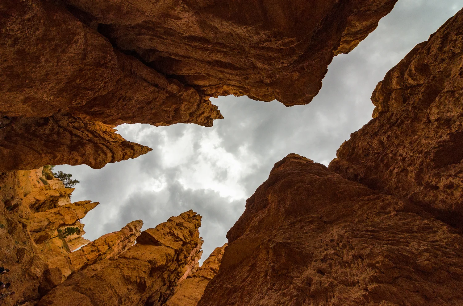
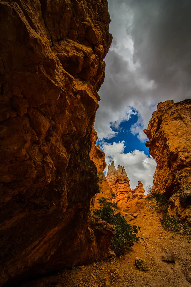
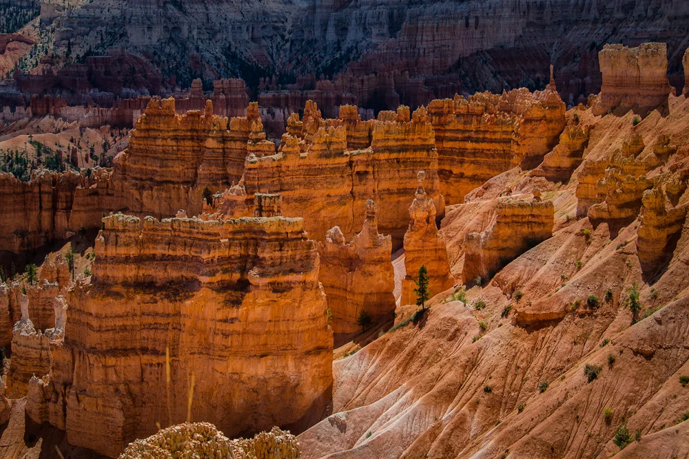
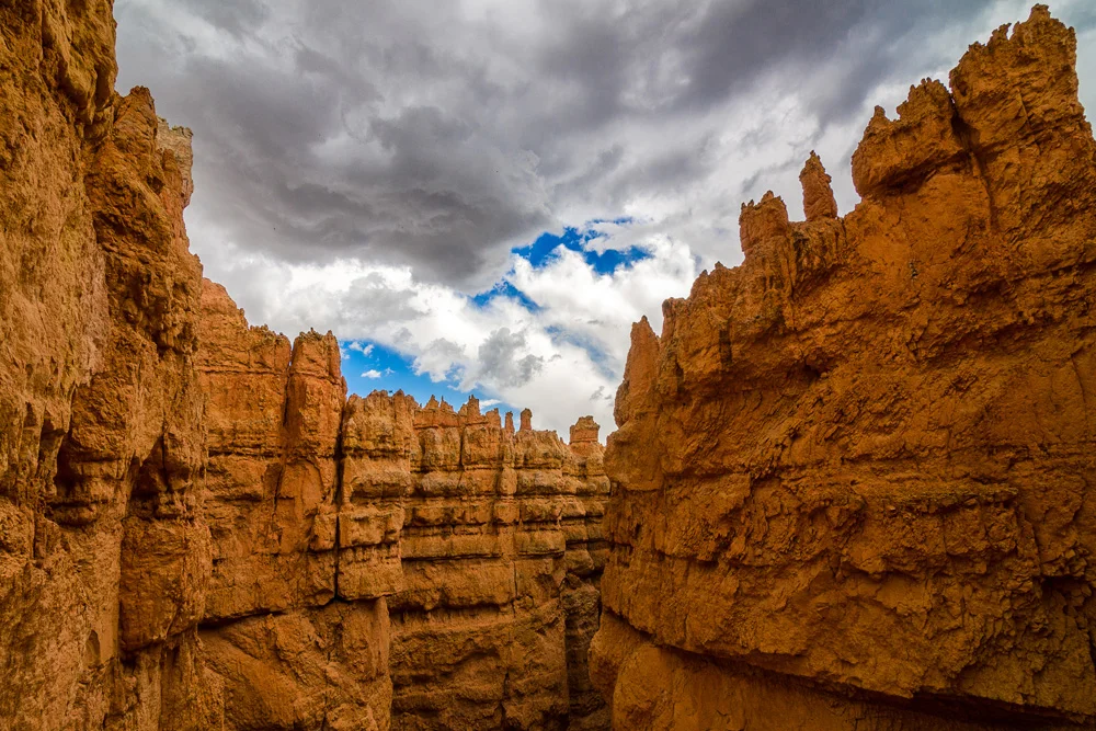
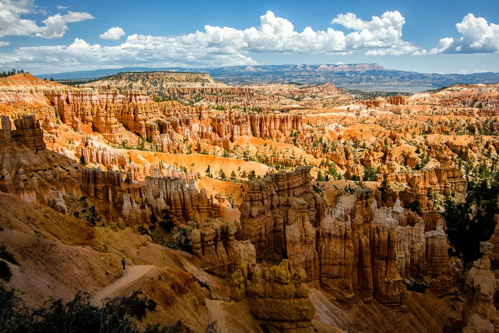
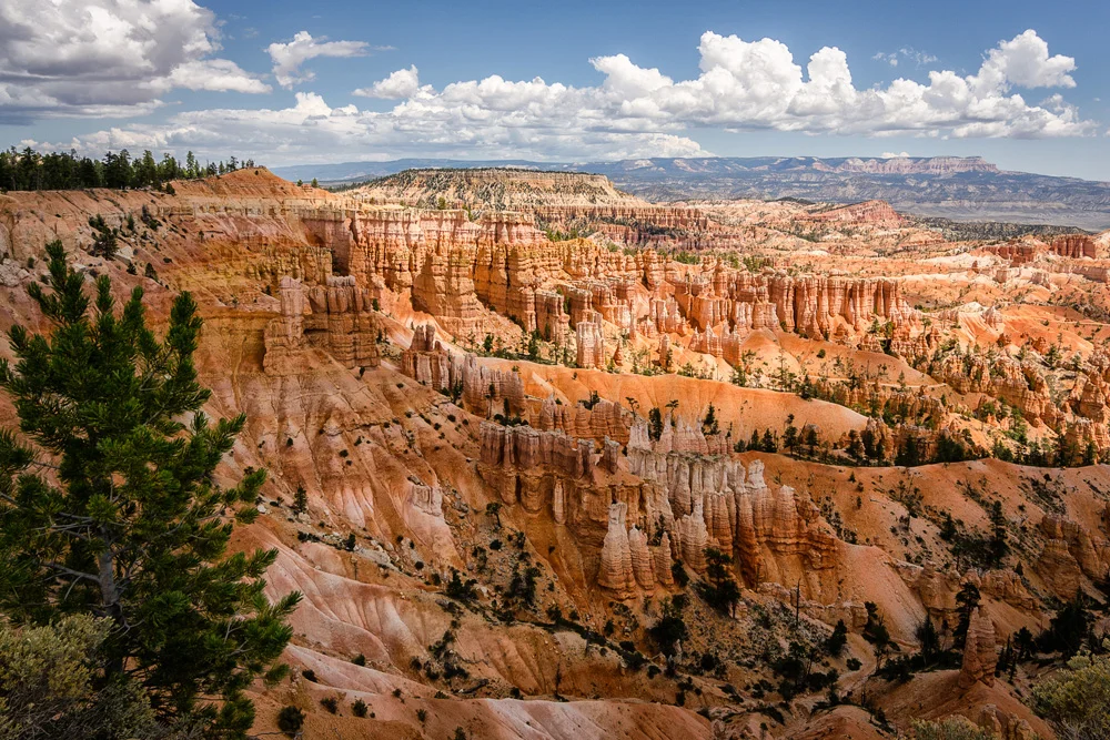
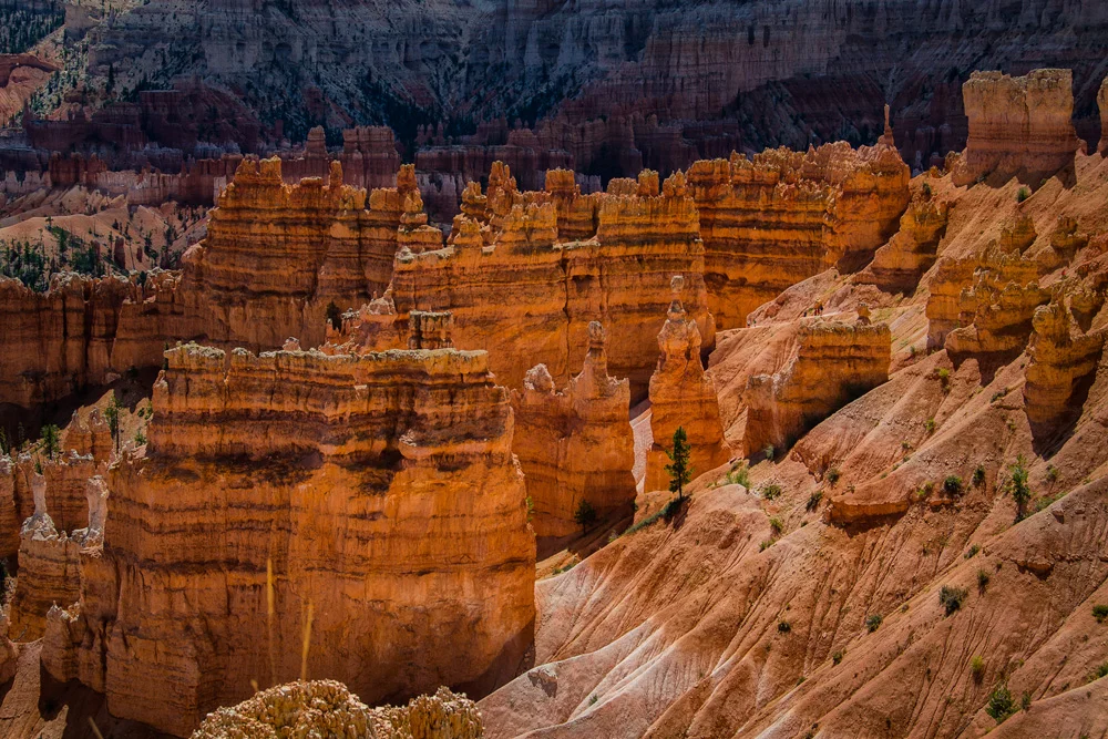
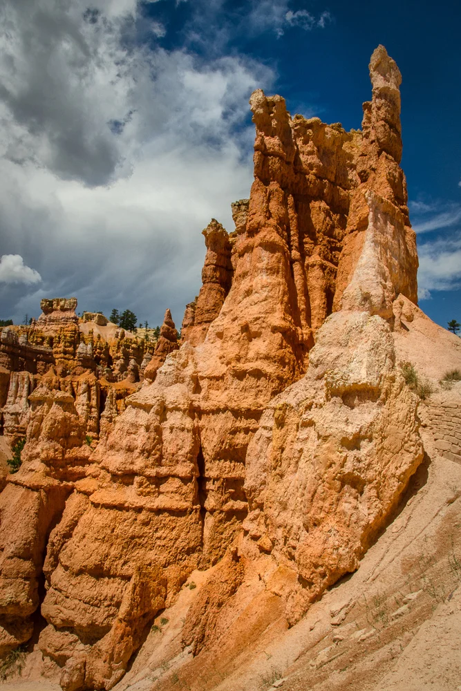
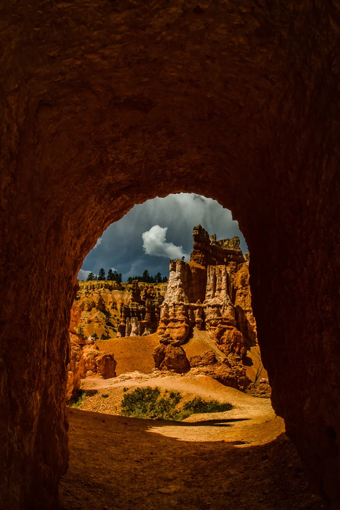
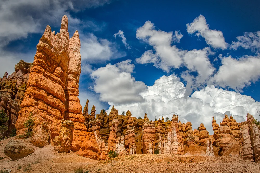
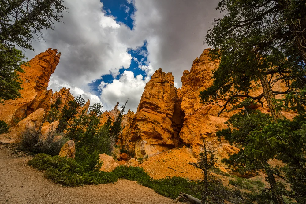
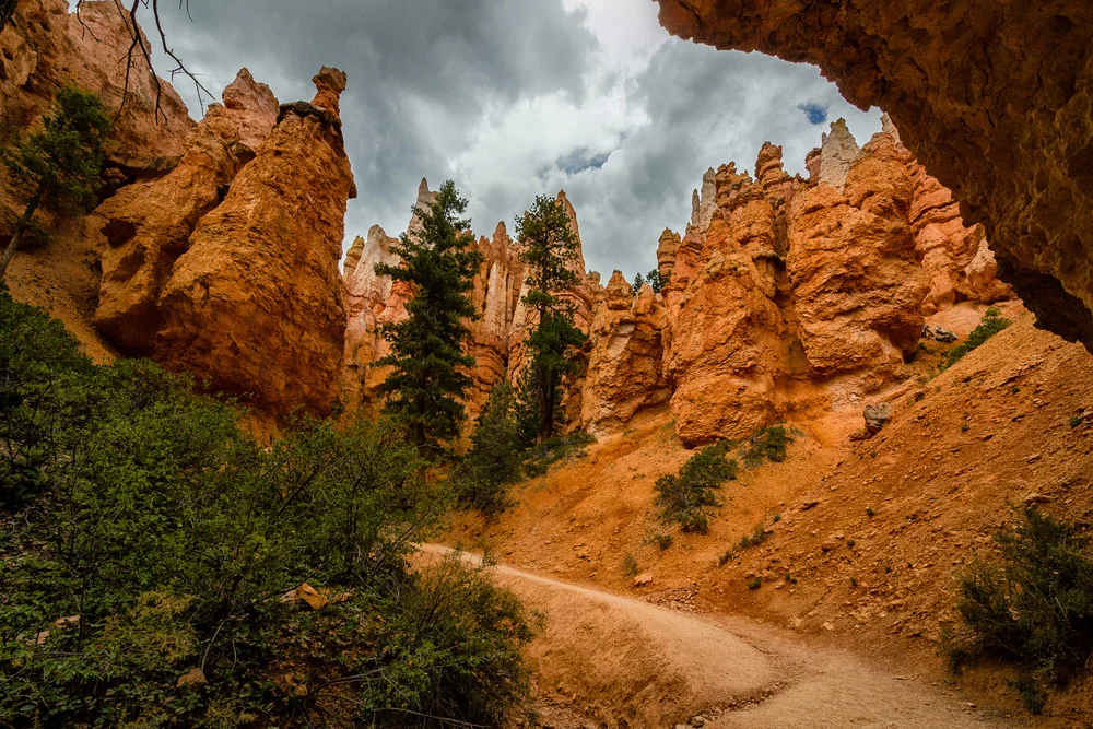
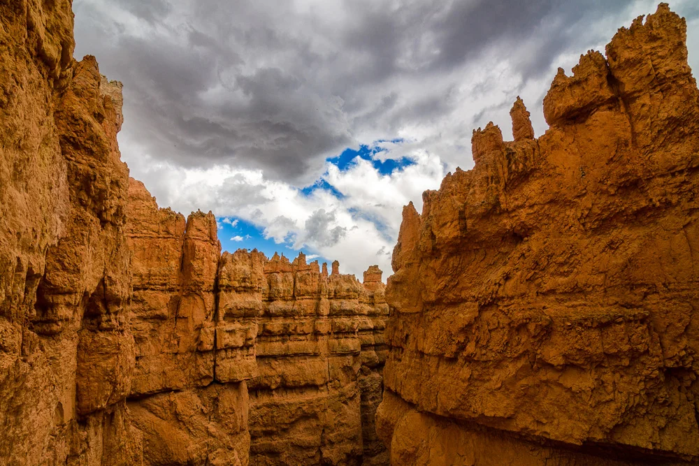
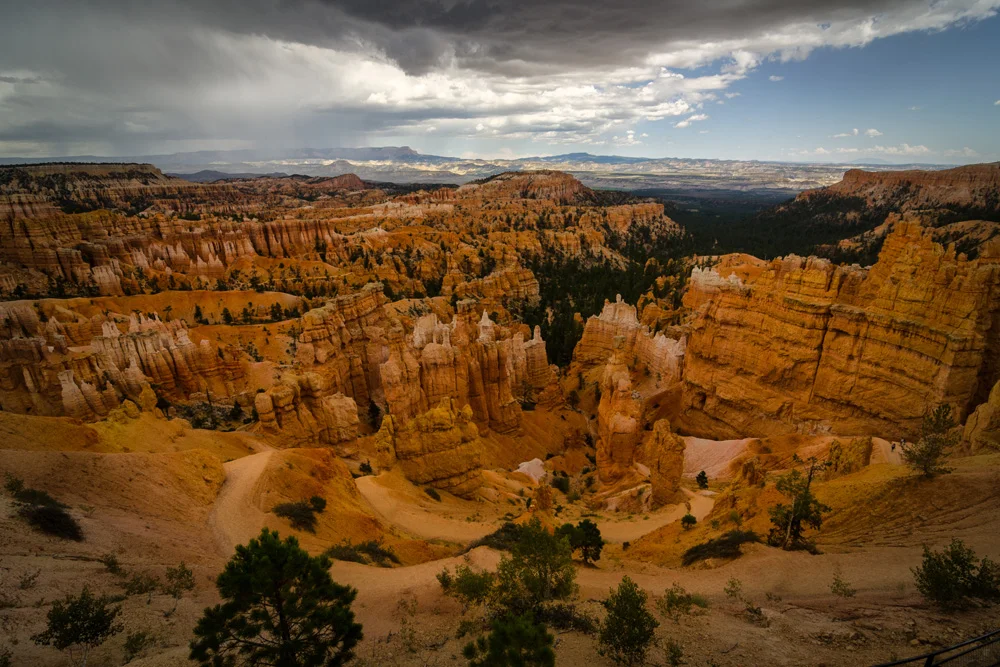
    In any case, we only had one day allotted here so decided to make the best of it by getting as deep into the hoodoos in Bryce Canyon as we could in half a day. We did a bit of research and settled on the Navajo trail, a loop that would take us deep into the canyon and back up again over the course of about 4 or 5 miles, and, well, I’ll just jump right into it…while Zion National Park’s formations were insanely awe-inspiring and magnificent…these were just…just…weird! Where the sentiment in Zion was “this is justinsane!,” the sentiment in Bryce Canyon was, what the heck are these!??

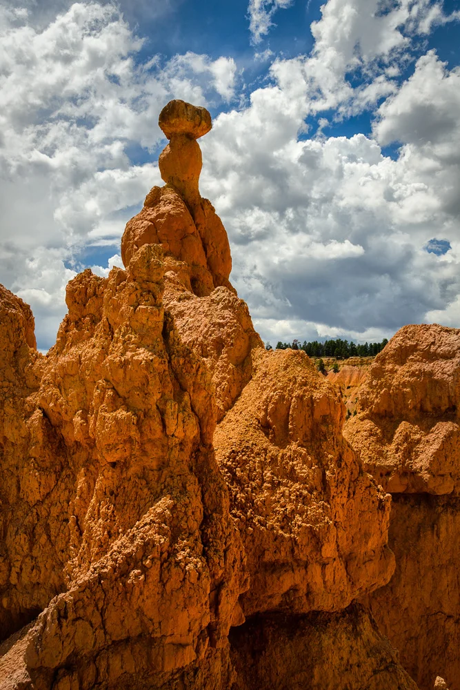
    We stood at the rim perplexedly staring at the strangest natural structures that perhaps exist. Sandstone spires that reach from dozens of feet to hundreds of feet into the sky, all originating at the base of a canyon that seems to be fairly well guarded from the elements. It’s like God was hauling a God-sized tractor trailer full of soft serve ice cream cones and s/he jackknifed at the top of this canyon, projecting all of its contents into this golden valley. But then upon closer inspection and deduction from the direction of the looming thunderstorm just on the horizon, you realize that this canyon seems a perfect corridor for heavy desert winds and rushing water from the plateaus above. But still…how do they get to look like this??

    Image asset

    Image asset

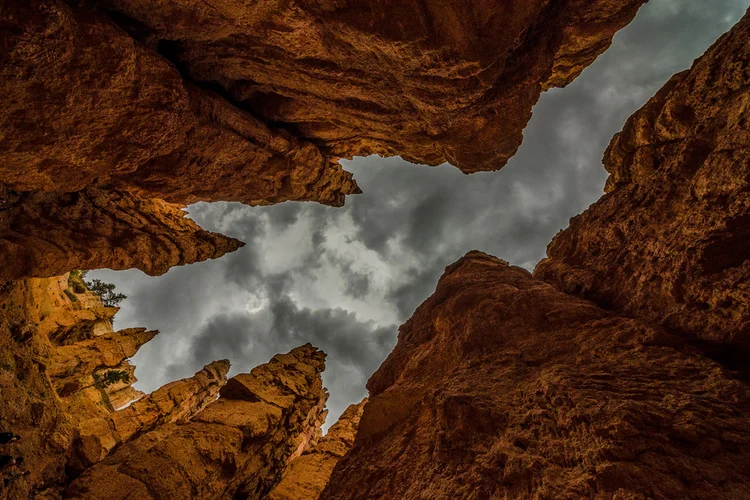
    Bryce Canyon National Park Utah

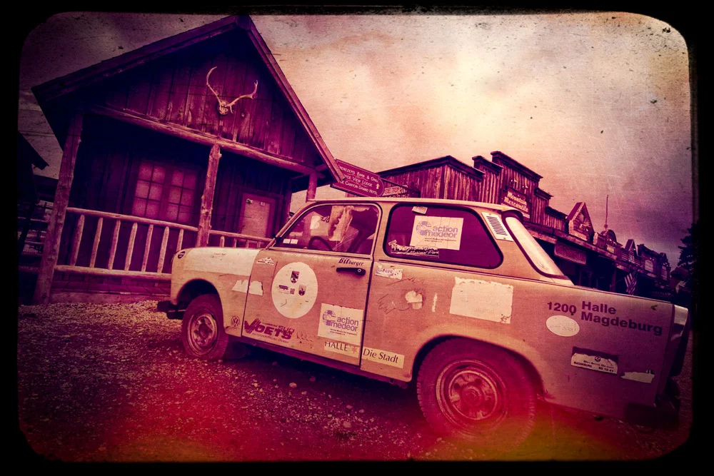
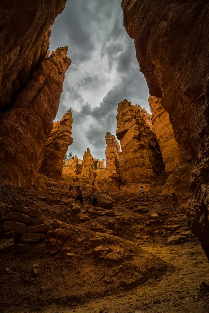
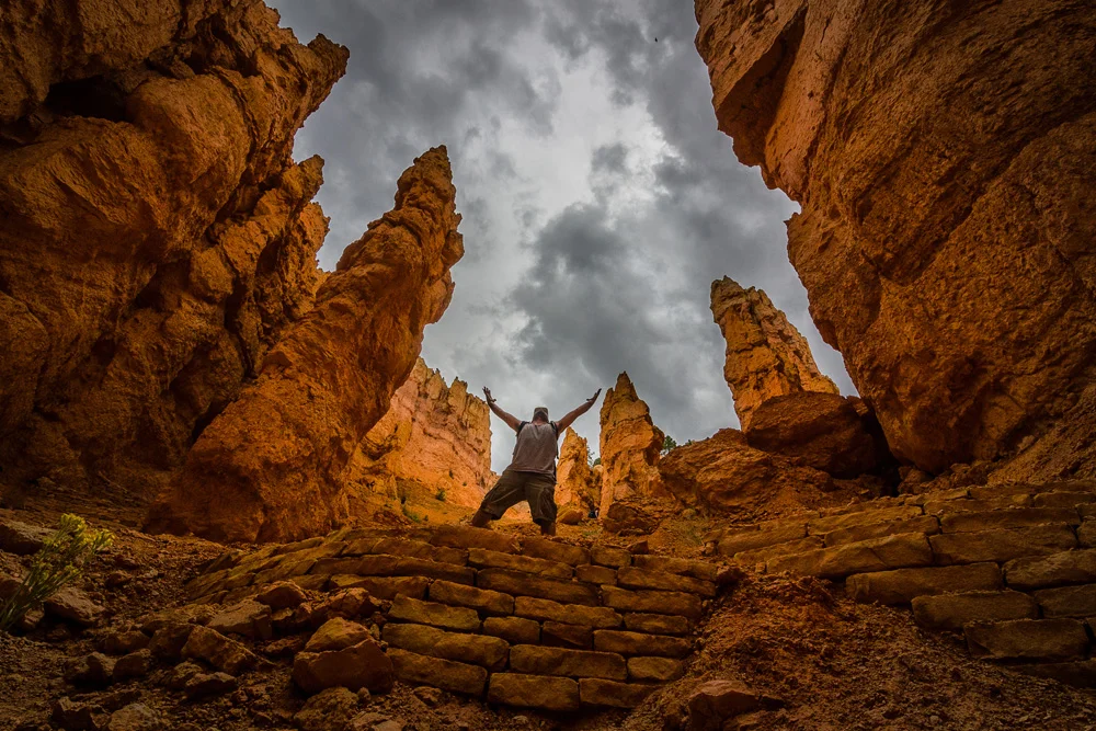
    In any case, we descended into the valley and twisted and turned through miles of this madness. The way down was a brisk and mild pace, stopping every here and there to catch different angles of the weirdness from within. Granted we were now looking from the bottom up at them rather than from the top down, and it just got more bizarre with each step. It’s an extremely alien landscape that served as just another reminder that the tricks up Mother Nature’s sleeves are endlessly varied, but all equal reminders of our place amongst this vast unexplainable madness. After the steep climb up right through the middle of it, we hopped back in the car, got on the road, picked up some coffee and ice cream next to an old rusted German car just outside of Bryce (dunno…) , and off we went, hoping to get to Moab that evening to check out the Arches in the morning.

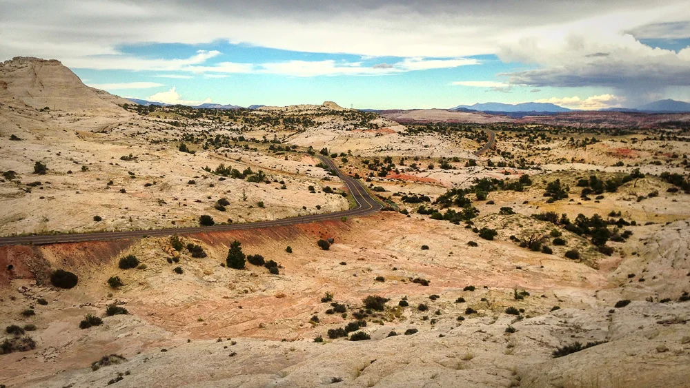
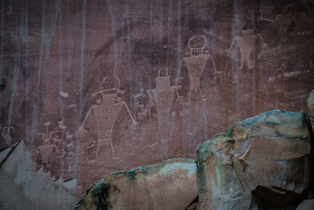
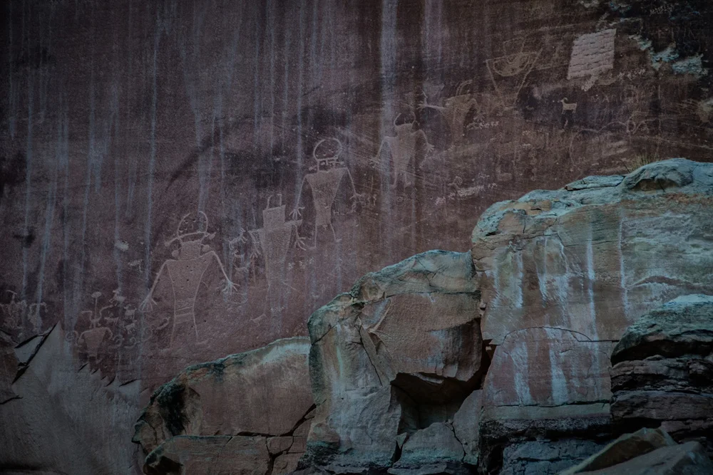
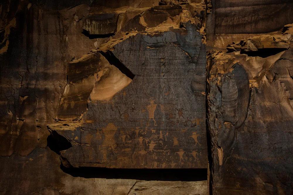
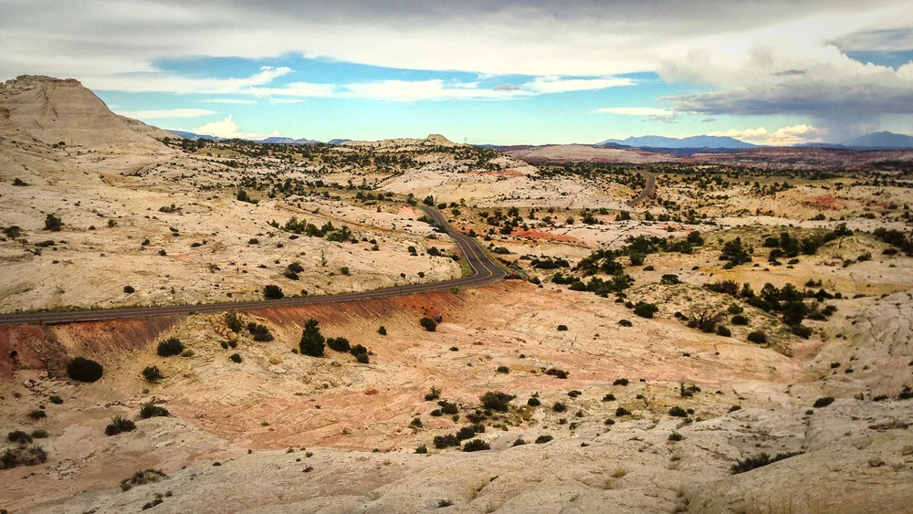
    Thing is, we miscalculated how far it actually was and decided to do a bit of sight seeing on the way…but how could you NOT stop when there’re signs pointing out Indian carvings on a sandstone wall just off the side of the road (which, by the way, had me convinced that aliens existed back in their day…I mean, click here, look at these drawings…)? So we drove and drove and drove and drove and the landscape began to noticeably change from the warm sandswept orange hue to a very sterile and, well, freaky white tones…the sort of environment that you look at and can’t help but think there’s no way anything out here can sustain life! It was an almost apocalyptic feel  – just a lot of HUUUUGEEE white barren sandy nothingness.

    Image asset

    We finally started to close in on Moab, but by the time we got there, it was almost midnight and our main goal was finding something to eat…we figured we’d splurge on our first real meal since beginning this trip. We pulled up to the first open establishment we can find, parked right in front, and as we were ditching the smelly hiking gear for a spritz of Axe deodorant and fresh socks, a slightly disheveled man walked up to us with a message – not to park right in front of the bar as the police just wait outside, preying on people who walk out and get in their cars to leave. He then conveniently proceeded to tell us exactly where to park, which was essentially about two blocks and and a few turns away. I found this particularly odd that a local, who sees a truck full of gear and two obvious out of towners, is leading us directly somewhere for our safety. It might be the L.A. in me, but I couldn’t help but feel he was basically just leading us to a spot that perhaps a few of his friends might know about, giving him the perfect alibi that he was at the same bar we were.

    Image asset

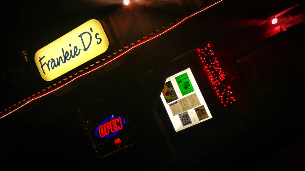
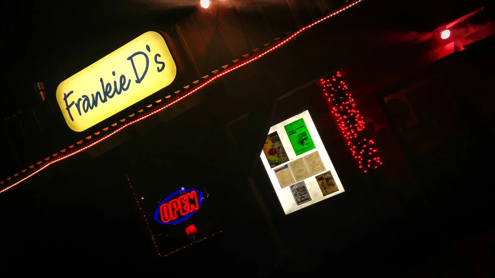
    I didn’t feel comfortable with this arrangement, so we just got back in the car and looked for another place…problem is, it was late and the options were slim. We were luckily able to find a spot, Frankie D’s Bar & Grill, and when we walked into a pool bar manned by a heavily tattooed bartender blasting Korn, we knew that this was the place for us…there was no way this bacon-cheese-jalapeno burger with a side of Negro Modelo was going to disappoint, and it didn’t.

    Image asset

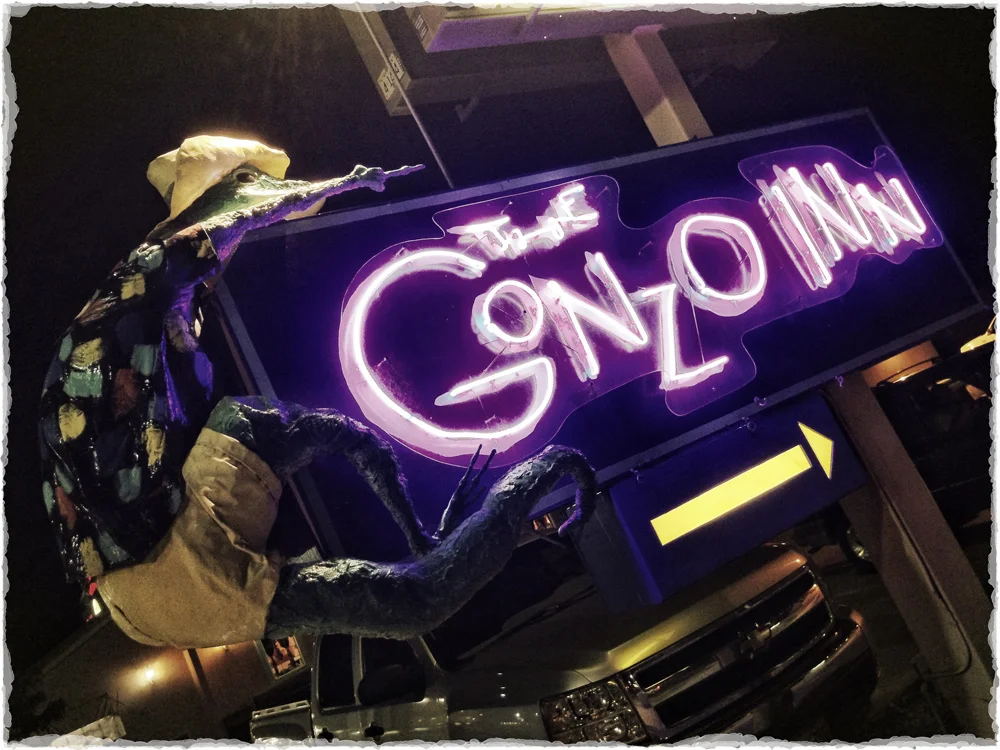
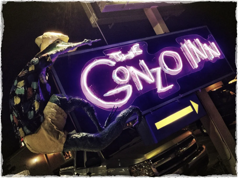
    It was too late to head into Arches National Park and risk not finding a campsite, so after a quick photo opp with the Gonzo Inn sign (the Hunter S. Thompson fanboy in me geeked out a bit…), we opted to camp at one of the small private campgrounds along the Colorado River just outside Moab. We popped open a few brews, started setting up camp, and we sat down to finally relax and let the day wind down. As I was wrapping my ankle that I must have tweaked somewhere along the way, I noticed a thing…I asked my friend for his flashlight, pointed it at the thing and realized we had just set up camp, loudly, on a site that already had a tent set up, it was just tucked away behind a thicket of trees.

    We couldn’t help but laugh and feel bad at the same time, but the feel bad part fell away after a few beers and the realization that no one was in the tent…we picked up our tent while it was still assembled and just dragged it across the way to an open site.

    We woke up the next morning, struck camp, and after a bit of deliberation, opted to skip Arches National Park. We were scheduled to make it all the way to Loveland, Colorado by nightfall where our friend was expecting us, so we had to decide between a 6 hour hike into Arches or making our way into Colorado to spend some time in Rocky Mountain National Park before heading into the front range. We figured we had plenty of desert and nothing was going to top Zion and Bryce, so let’s mix things up a bit…let’s do this Colorado thing…

    So below is a selection of images from this part of the trip, and if you missed the first few parts of this “3 National Parks, 3 States, 2 Weeks, 1 Crap Bag” saga, just click HERE to go to the beginning. And if you’re ready to move onto Part 6, “They Could Have Been Serial Killers,” click HERE.

    Til’ next time…

    For more of my madness: Instagram: @wasimofnazareth Twitter: @wasimofnazareth Google+: www.Google.com/+WasimMuklashy Facebook: www.Facebook.com/WasimOfNazareth

  • A Bittersweet Happy Birthday to Yosemite National Park…

    A Bittersweet Happy Birthday to Yosemite National Park…

    rolling in. Yosemite National Park, California. Wasim Muklashy Photography
    It’s really sad to me that Yosemite National Park is forced to shut down on it’s own birthday so a bunch of entitled yahoos can yank each other’s gotchas.

    I suppose the silver lining in this whole thing is, Yosemite can take the day off on her birthday, for the first time ever! Enjoy this one because, no offense, but I hope you never get that day off again!

    Thank you SOOO much for the years of incredible experiences and adventures. I can’t wait to celebrate with you, as well as the rest of the national parks, again…

    Looks like I took that “3 National Parks, 3 States, 2 Weeks, 1 Crap Bag” trip at just the right time…

  • 3 National Parks, 3 States, 2 Weeks, 1 Crap Bag – Part 4 – From The River To The Rodeo.

    3 National Parks, 3 States, 2 Weeks, 1 Crap Bag – Part 4 – From The River To The Rodeo.

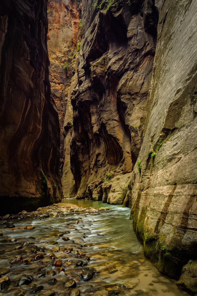
     The Narrows. Wall Street. Zion National Park, Utah. Wasim Muklashy Photography.

    We woke up the next morning to warm golden sunlight bathing the 2000-foot sandstone walls that surrounded us. If you don’t get up, stand up, and stare in absolute awe, you’re simply not human. We made ourselves a quick breakfast of oatmeal, powdered eggs (yummy…) and instant coffee (double yummy…), packed up our packs for the second half of this puppy, and hi-ho, hi-ho, back to the Narrows we go.

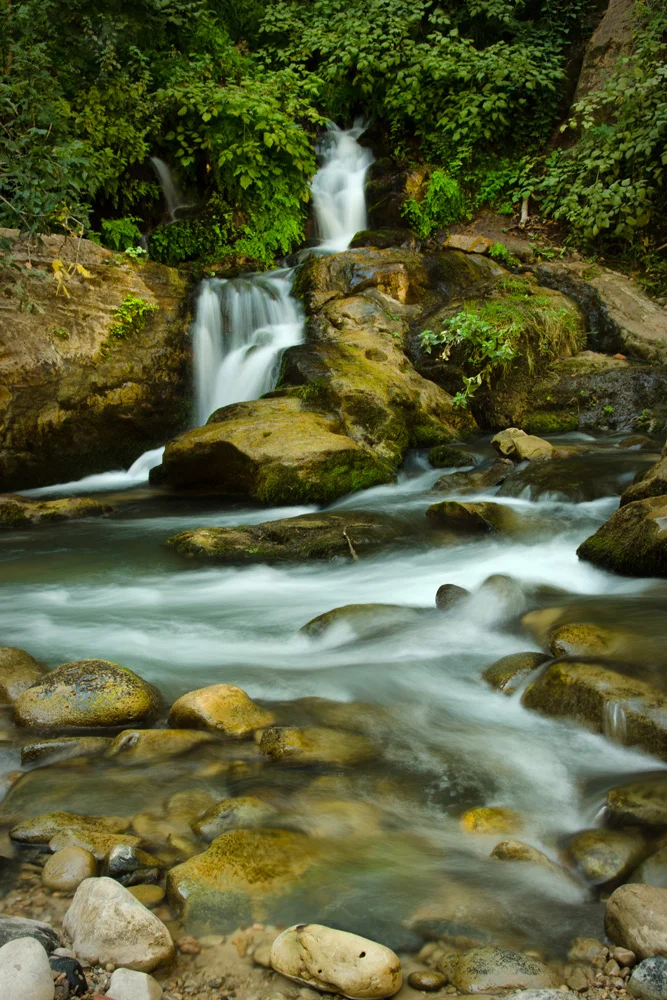
    First order of business this fine morning was water. We were out of fresh water so our primary focus was to refill that. Instead of purifying river water, we decided to heed the advice of our shuttle driver from the last post, Chad from Rare Form Shuttle Services, and head to a natural spring that was supposedly just past campsite 12. So we started hiking through the river and after about a half mile, lo and behold, a natural spring shooting straight out of the sandstone walls directly into a freshwater pool…so not only were our Osprey and Gregory packs’ water bladders treated to nature’s Brita, but the added bonus of a refreshing bath in virgin Utah waters certainly helped start this second day off proper!

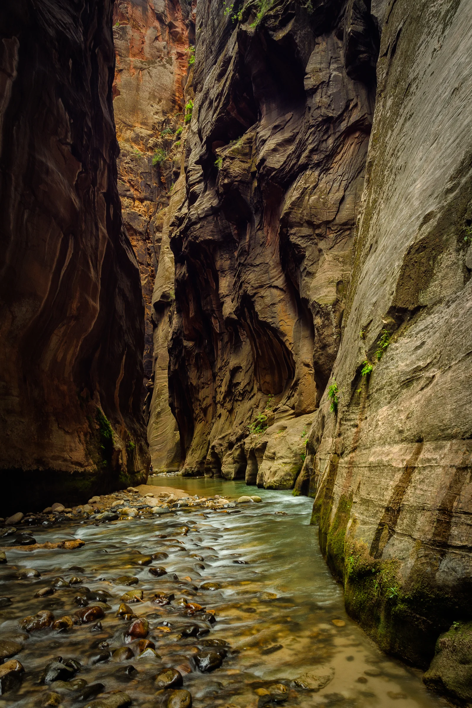
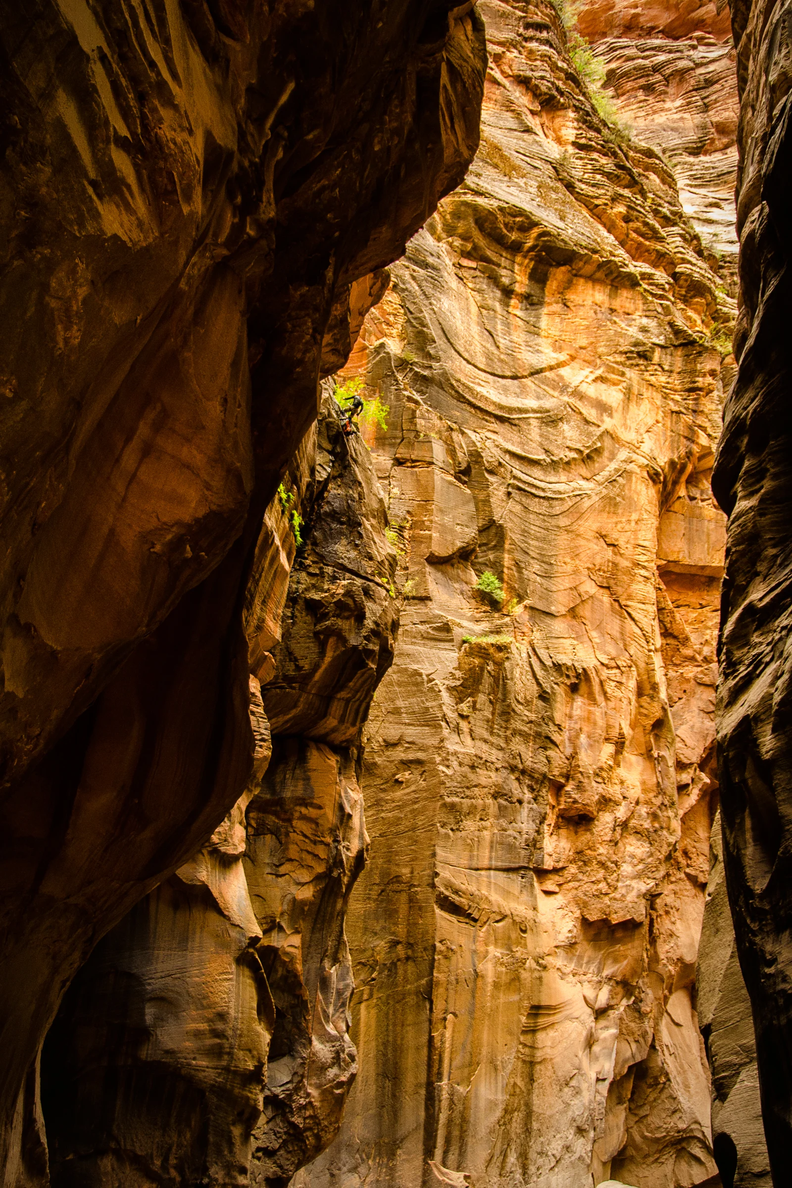
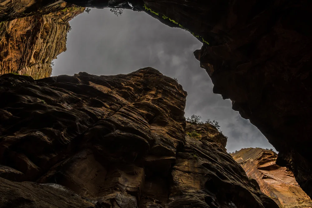
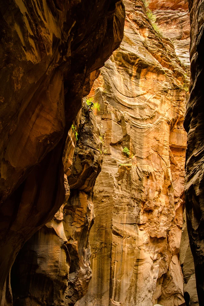
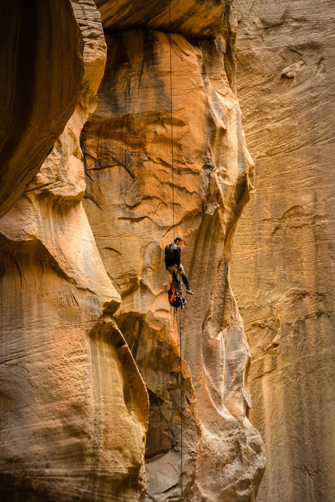
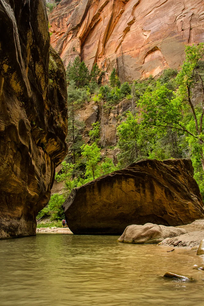
    Second order of business? The highlight of the second half of this hike…”Wall Street,” the part of the Narrows that marks the narrowest stretch of the canyon. This is a section in which you think what you’re seeing is impressive, until you turn the next corner, and then the next corner, and then the next corner. It’s simply insane. Wall Street begins soon after the campgrounds disappear and it goes on for about 2 miles. It was easy to get lost in here as our walk got much slower in response to our jaws dragging across the riverbed. You can’t help but stand in the middle of this madness and marvel at how this was all created…this very river carving its way through this massive chunk of sandstone, over thousands of years, using gravity as its fuel…

     The Narrows. Zion National Park, Utah. Wasim Muklashy Photography

    After we finally peeled ourselves away and out of Wall Street, the crowds began to slowly thicken a bit, marking the home stretch of our hike. This is the point where visitors can make their way a few miles up the canyon to check out the portion of the Narrows that constitutes the day hike from the valley floor where the majority of the park’s campgrounds and amenities exist. While that option would have been remarkable on its own, and much more practical for families and large groups, we knew that the ‘Top Down’ option was, for us, the way to go, simply due to the fact that through most of the 14 miles before reaching this point, we were on our own, all alone, save for the occasional run-in with fellow top-down hikers, and there’s just something about being isolated in the wilderness that does something to the soul that nothing else in the world can match. It forces you to become incredibly present, an absolute stark contrast to what normal day to day ‘life’ has become – reactionary. Here, left alone to your own devices in the presence of one of Mother Nature’s greatest marvels, you can’t muster the audacity to just react to her wonders – you’re almost forced to absorb, process, and take this with you – you learn about you, and, most importantly, you remember each second of each minute of each hour of each day. While I may have already forgotten what I had for breakfast today, I will never forget what I had for breakfast at Campsite 8.

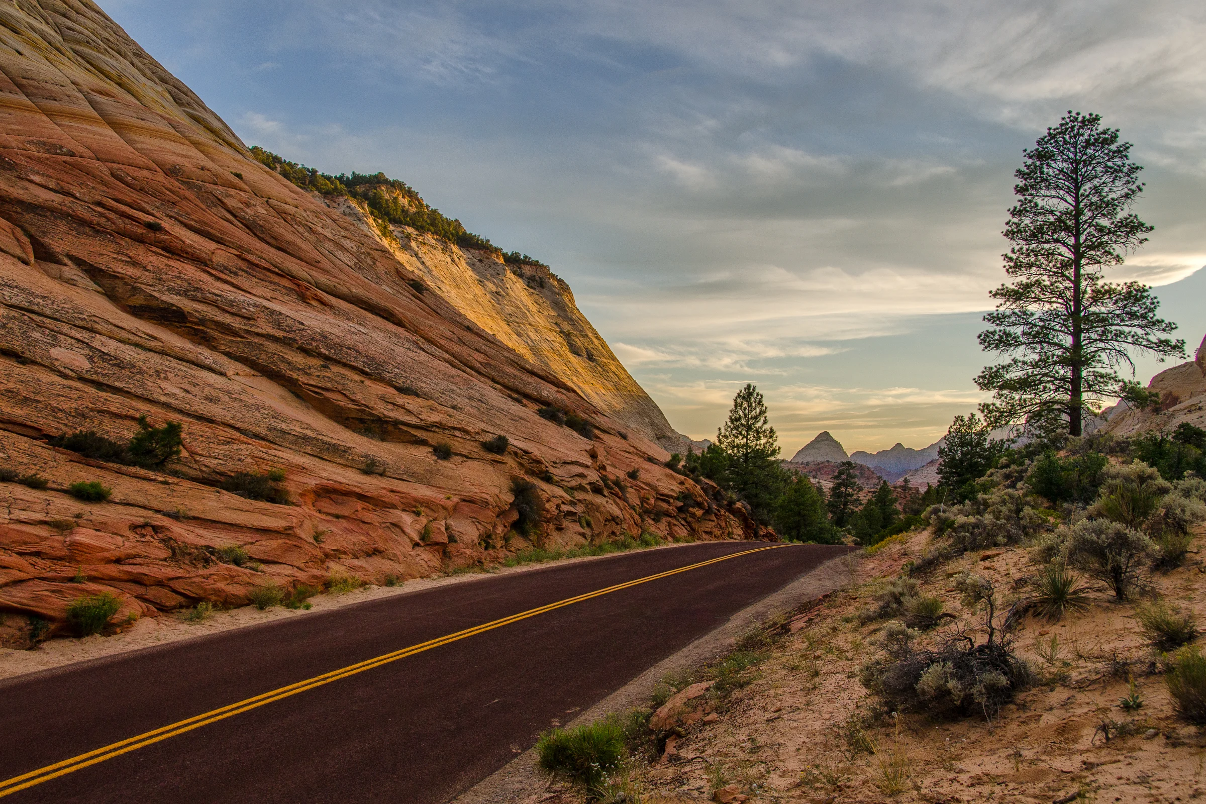
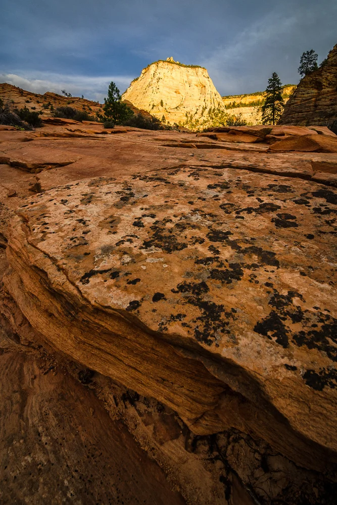
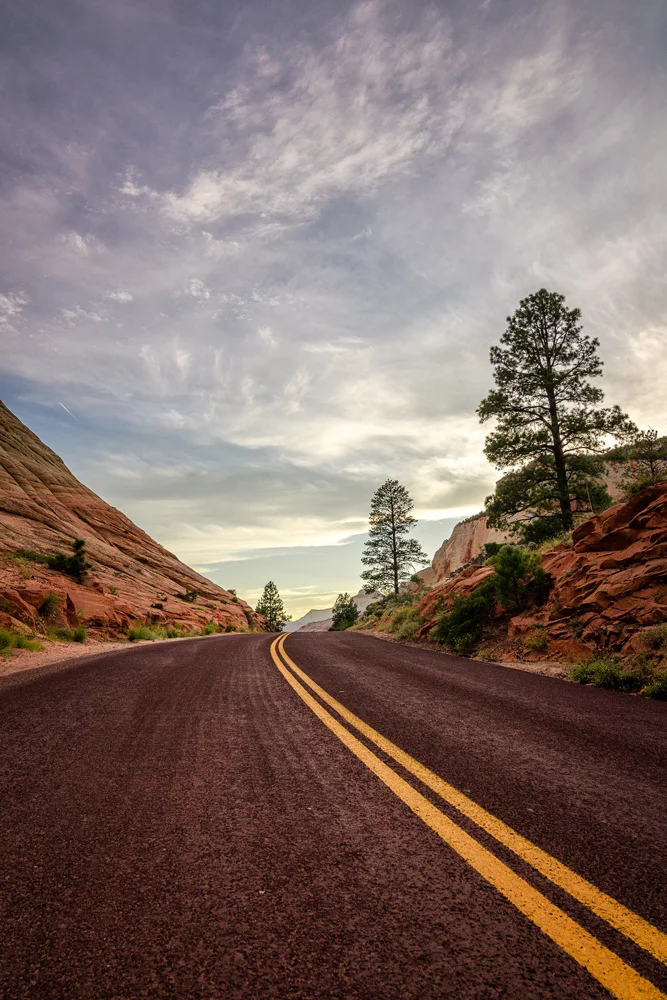
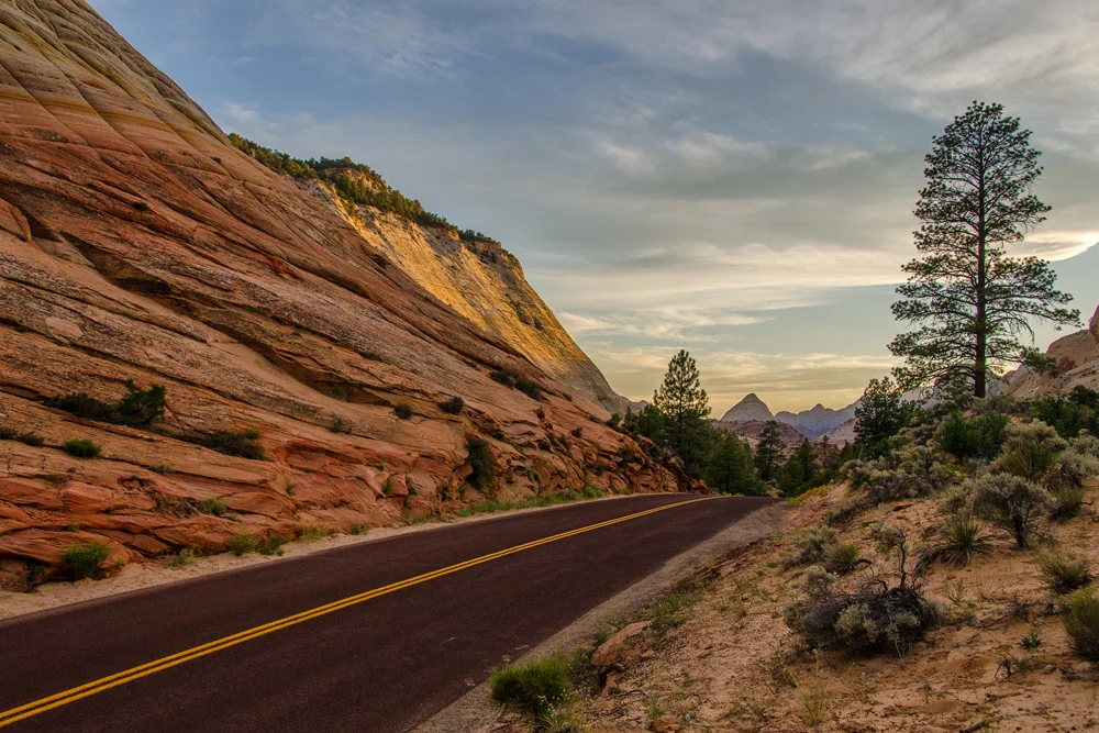
    The next portion of our journey was to commence in Bryce Canyon National Park. We still had enough time to make the 2 hour drive and set up camp, so after a shower at the campground (we saved our tokens knowing we’d need it now more than before…) and a few peanut butter and jelly sandwiches, we hit the road. Through the park, up through the tunnel, and our timing could not have been more perfect. As we were leaving, the sun began its decent over the horizon and we were treated to quite the show. The Utah sandstone sunset sky just over Zion, painted with the softest, warmest array of colors silking and bouncing their way throughout the canyon, the roads, and the skyline in the distance. We pulled over to let these moments permeate our membranes. Simply stunning.

     Zion National Park, Utah. Wasim Muklashy Photography

     Leaving Zion National Park, Utah. Wasim Muklashy Photography

    And now the sun was gone and it was time to close the book on this one…

    Well, almost

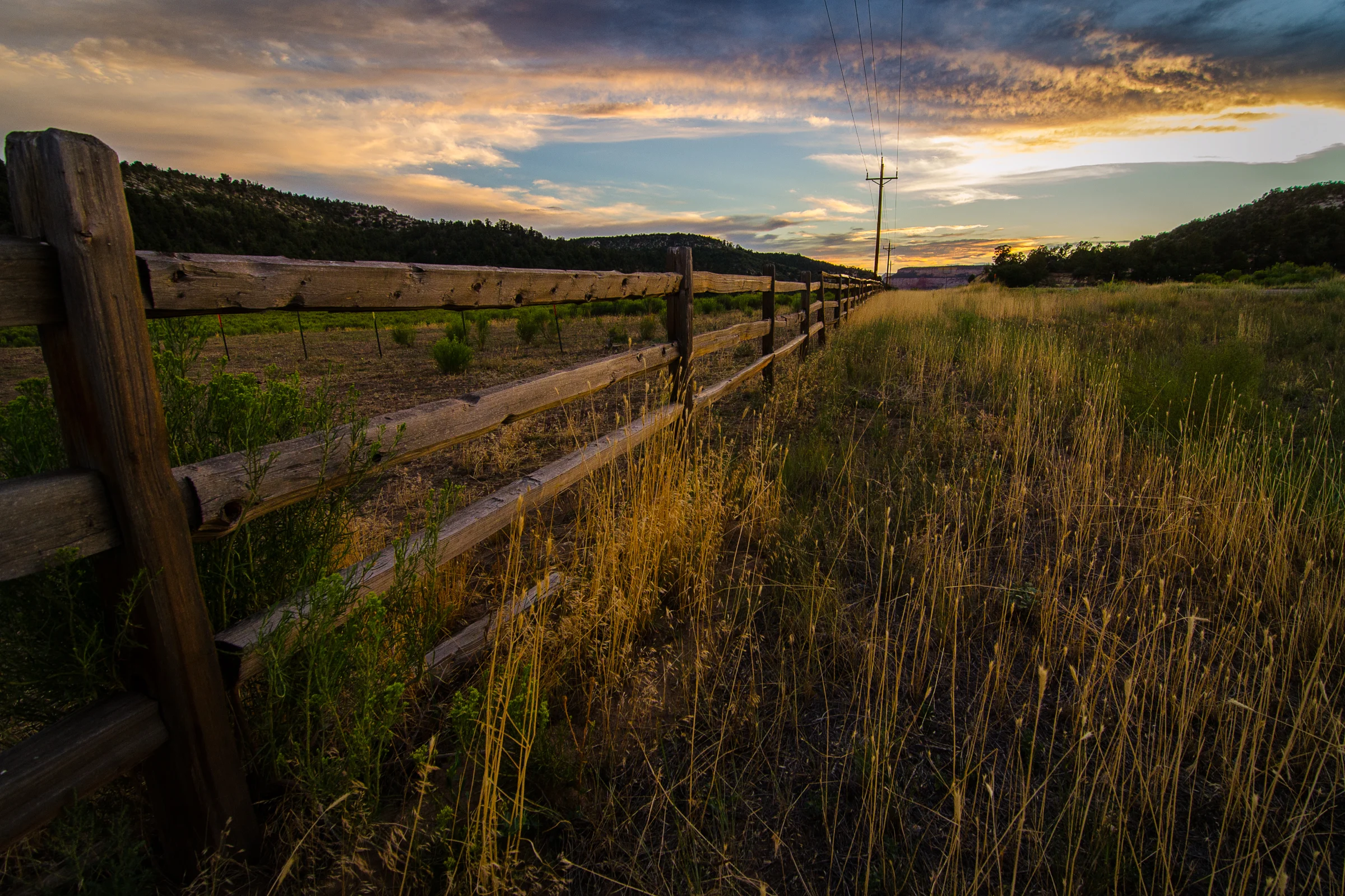
    When you drive miles with nothing in sight, then run across a sign that says “Kane County Fair,” and a few seconds later, “Rodeo,” and you’re from Los Angeles, you HAVE to stop…donning board shorts, t-shirts, and flip-flops, we weren’t quite dressed for the occasion, but couldn’t pass this up. We made it just in time to catch the closing event, the junior rodeo. We walked up to the fence and watched several dozen children running around a rodeo ring in their chaps and hides, trying to catch a herd of loose chickens. Yup, we gone done did it…the Kern County Fair. It was a perfectly heartwarming moment and end to this chapter of the trip.

    An hour later we were in Bryce Canyon, found a campsite in the dark, set up, cooked up, drank up, and passed out, waking up rested up.

    So below are a few images from the last 24 hours, and if you missed Parts 1 through 3 of “3 National Parks, 3 States, 2 Weeks, 1 Crap Bag,” just click HERE to go to the beginning.

    And for the next part, “3 National Parks, 3 States, 2 Weeks, 1 Crap Bag – Part 5 – Hoodoo the Voodoo & Melee at Moab,” click here.