Tag: california

  • A Spontaneous Excursion Up Pacific Coast Highway – Part 3: More Big Sur

    A Spontaneous Excursion Up Pacific Coast Highway – Part 3: More Big Sur

    Big Sur California Part3 07formatoriginal

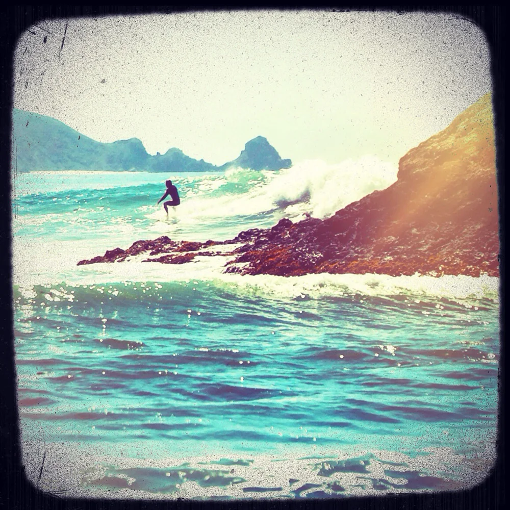
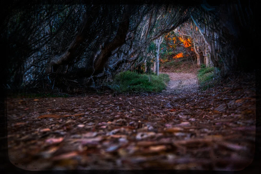
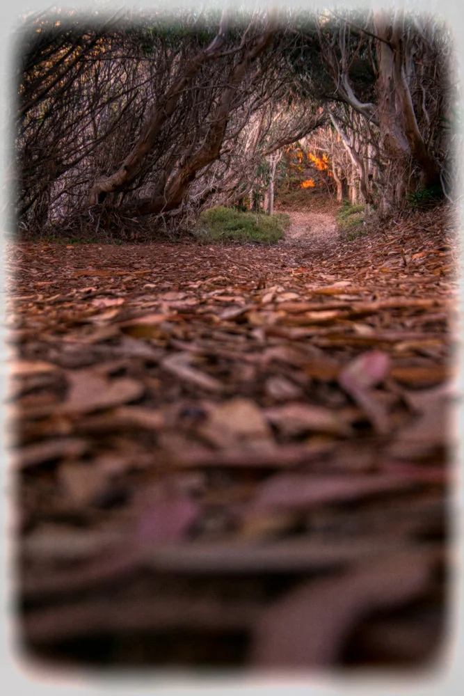
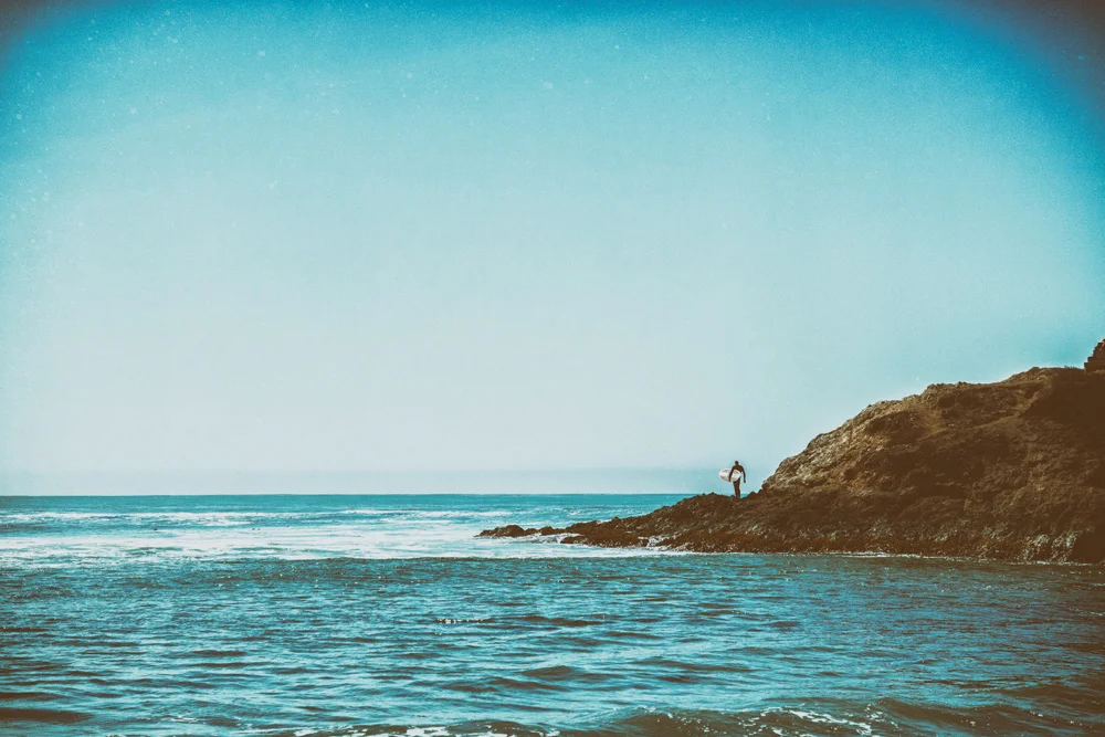
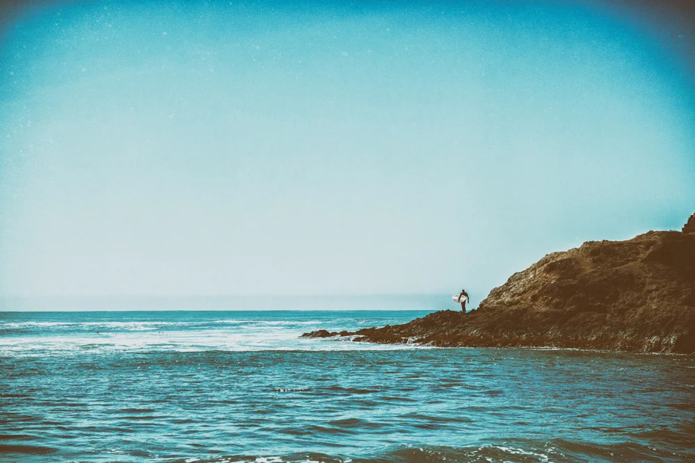
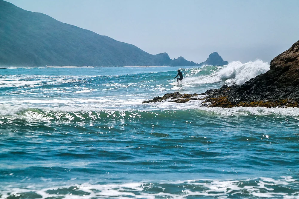
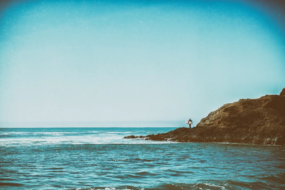
    The next few days in Big Sur were nothing short of magical. We woke up the following morning, our first in Big Sur, and figured the most logical thing to do would be to hit the beach. And, well, who are we to argue logic? The universe led us down the 3/4 or so mile hiking path from the campsite, through a covered canopy of trees that straddles the Big Sur River, all the way down to the quaint cove that makes up Andrew Molera State Beach. We spent several hours here sunning, swimming, playing, fighting off the seagulls that boldly flew off with half our food, and watching the surfers slowly but surely converge at Molera Point as they anticipated the swells from Hurricane Marie, the category 4 that had hit Baja California earlier that day, to come ashore any moment. And boy did they! We watched surfer after surfer catch wave after wave that ranged from 3 feet breaks all the way up to what seemed like at least 8 or 10 feet for the more advanced.
    Big Sur California Part3 03formatoriginal

    We headed back into camp mid-afternoon, some rested, some napped, some ate. Myself and Stephen, we had USB battery bricks and phones to charge, and some business to handle, so we headed into town (and when I say town, I say this very generously, for ‘town’ consists of a grocery store, a restaurant, and a gas station). We took a seat at an outdoor table at the Big Sur River Inn, had some fresh coffee, and got down to business. We charged up our power bricks, and headed back to Molera, hiked back into camp just in time for a campfire and dinner. And that’s when we got a reality check from this fantasy world.

    The rangers came up to us to inform us that as of 3 hours ago, the higher ups have outright banned campfires and even camp stoves until further notice. The reason? Drought. The California drought has gotten so bad and so serious, and the land so brittle and dry, that not only did they had to ban campfires and camp stoves 3 days before the famously busy Labor Day weekend, but they also increased the fine from $500 to $5000 to hammer home that this was no joke. If this state doesn’t get some much needed precipitation relief in the coming months, the ban could very well go through all of next year.

    In any case, we figured since it was our last campfire, we’d go out with a bang…”S’MORESSSS!!”
    Big Sur California Part3 16formatoriginal

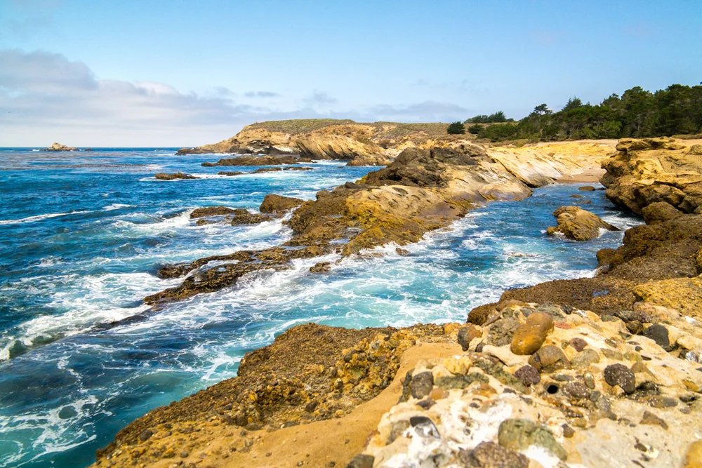
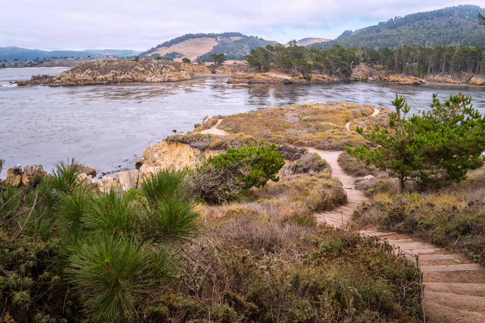
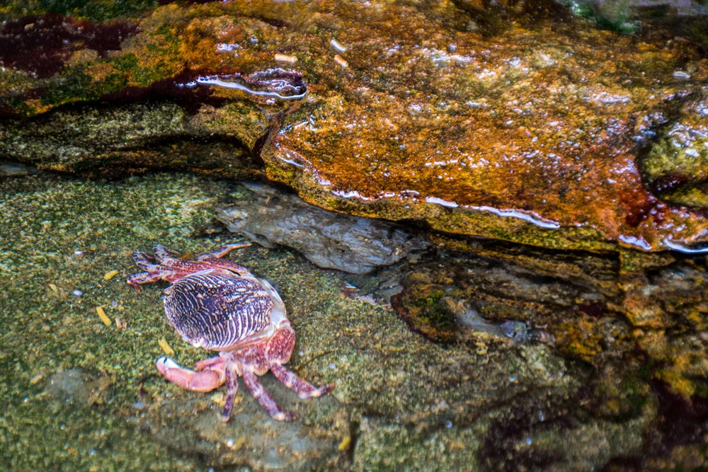
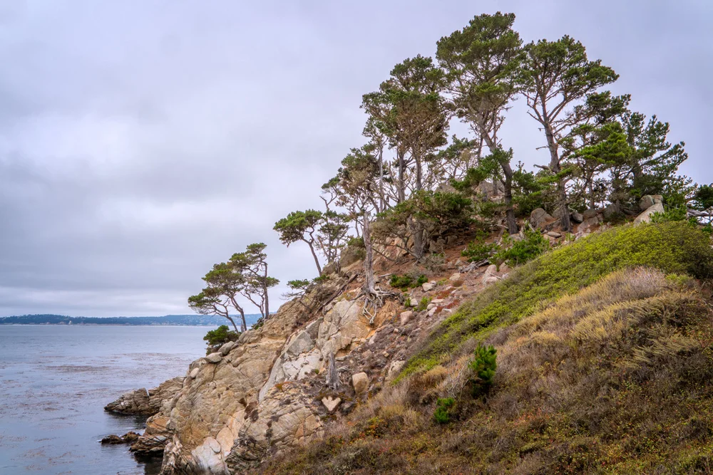
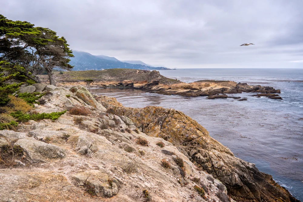
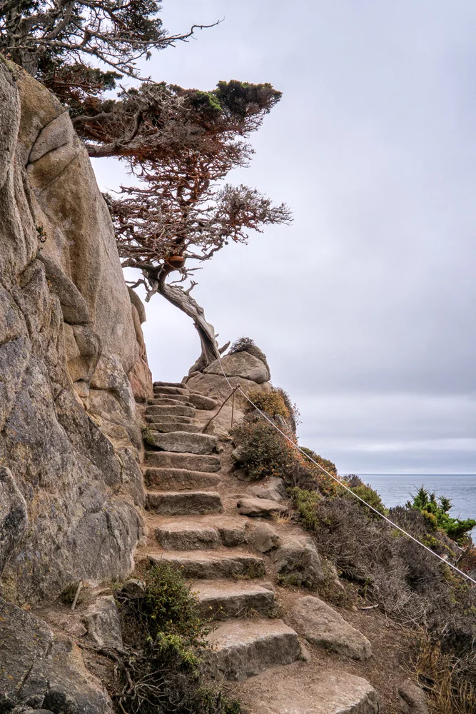
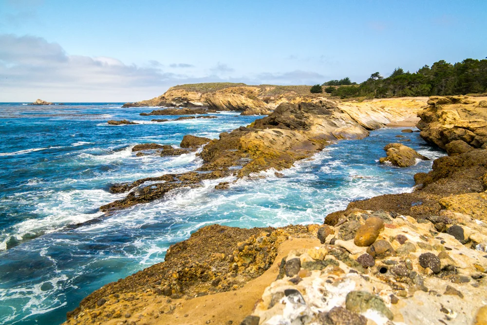
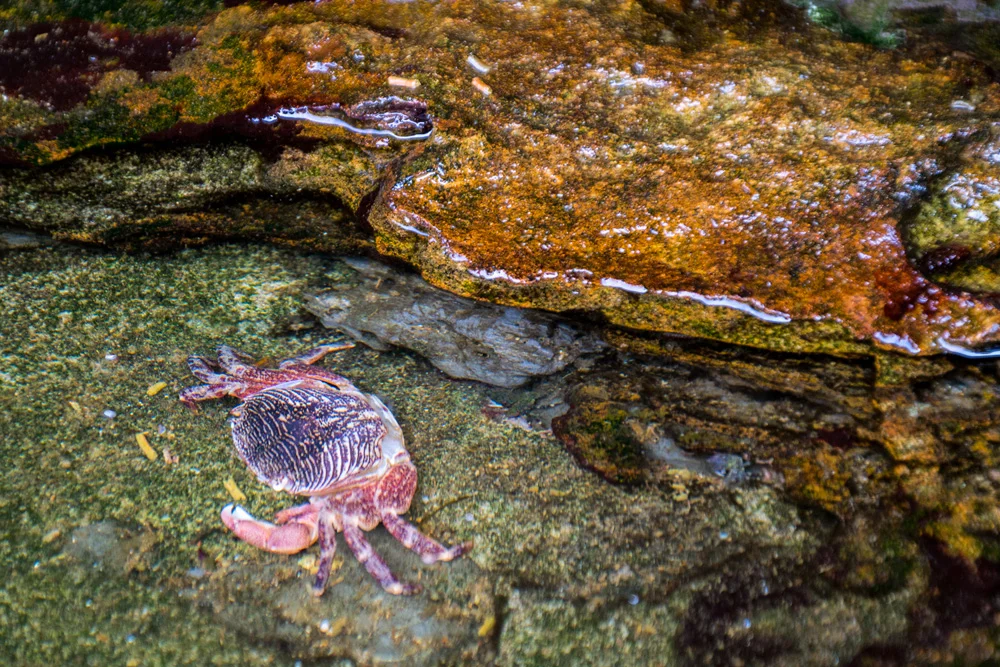
    The following day, we decided to head up the coast to Point Lobos State Reserve. In all the years of my coming to Big Sur, I’ve never stepped foot in here, and I was stupid not to. This place was incredible. We walked through a Cypress grove, we went geocaching at the old whaler’s cabin, and we hiked around the point, soaking in views of the famous coast. Perhaps the highlight of this part was the tide pools that dotted the rugged coastline. The closer we got to them, the more magical they became…we saw regular crabs, hermit crabs, a dizzying myriad of shells and sea urchins. It was beautiful.

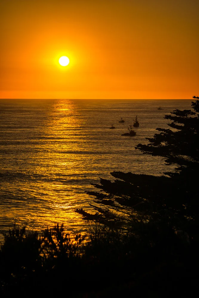
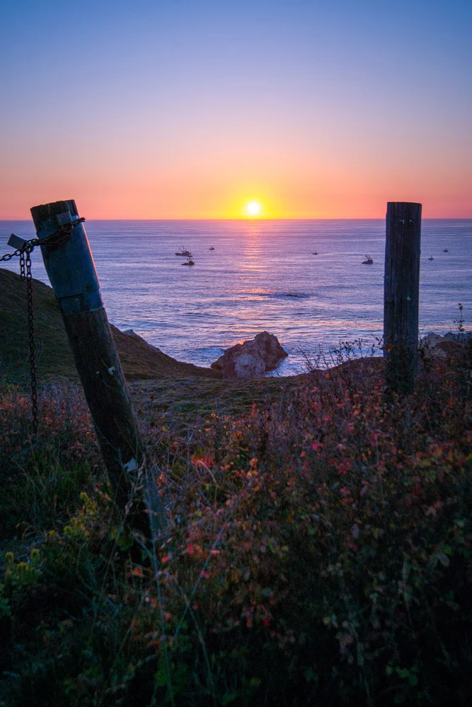
    As we sensed the sun begin to set, we figured it’d be a good time to head back to camp, eat some dinner and perhaps try to catch the sunset on the coast back at our beach, Andrew Molera State Beach. We were able to get back in time to feed the belly, but, the clouds started rolling in, so unfortunately, our sunset that evening was hidden from view. Which was alright. We marinated around the lantern, told some stories, had some scotch, and called it a night…figured since I was planning on leaving the next morning, I should get a good night’s sleep for the long drive back.

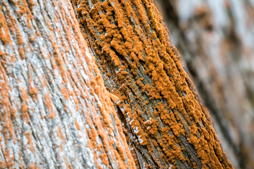
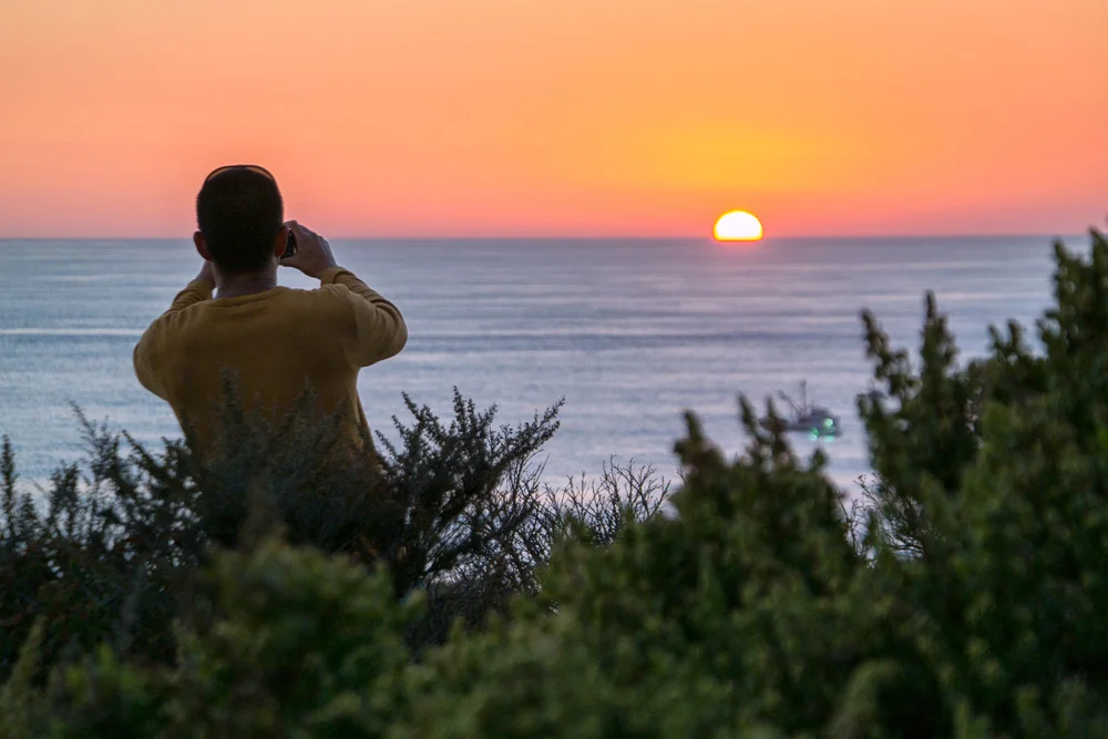
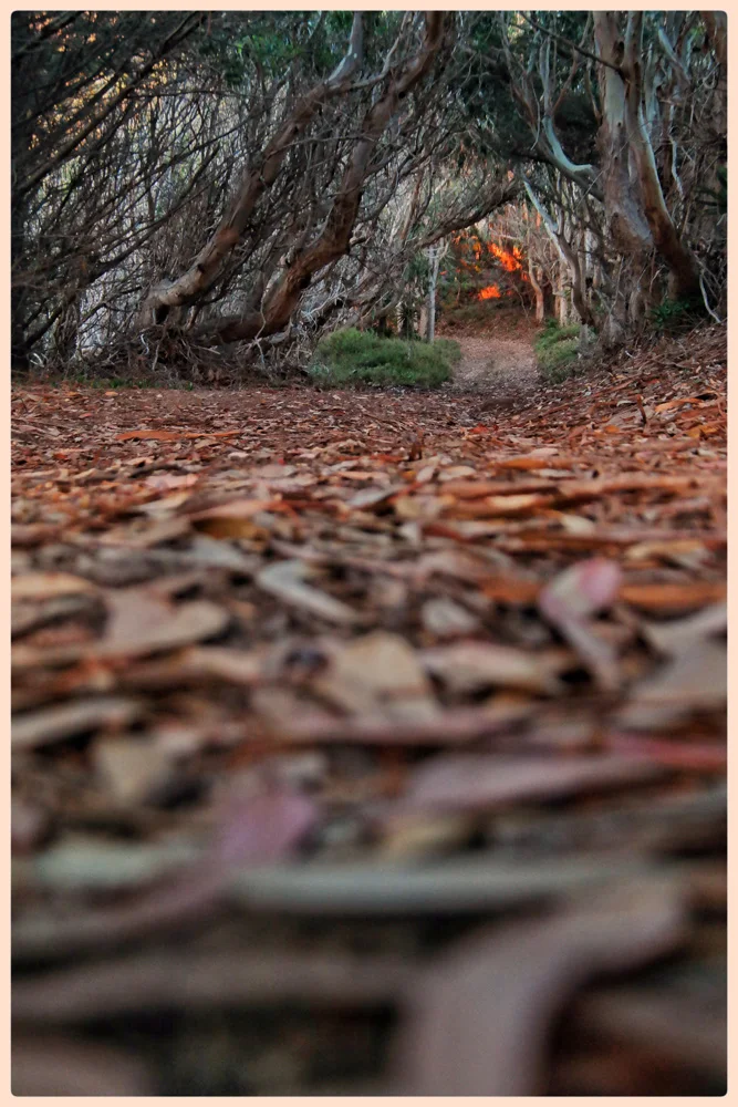
    Below are the images from this part of the trip, all of which were taken on Samsung NX3000 and NX30 mirrorless cameras.

    Click here for the final installment of this trip, Part 4: From Big Sur To Barbeque.

    And if you want to start from the beginning, click here for Part 1: Morro Bay

    And for more of my madness, including additional images and edits from this very trip: Instagram: @wasimofnazareth Twitter: @wasimofnazareth Google+: www.Google.com/+WasimMuklashy Facebook: www.Facebook.com/WasimOfNazareth
  • A Monday Motivational Kick In The Yahoo – September 22, 2014

    A Monday Motivational Kick In The Yahoo – September 22, 2014

    Wasim-Muklashy-Photography_Big-Sur_California_Monday-Motivational_September-22

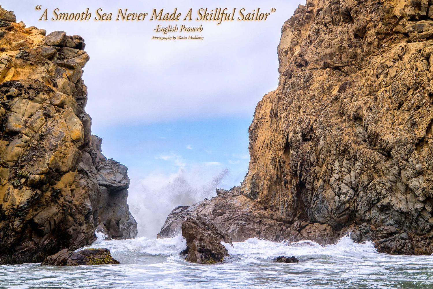
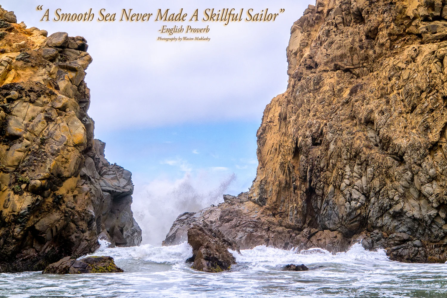
    “A Smooth Sea Never Made A Skillful Sailor.” -English Proverb
    **
    There it is – This Week’s Motivational Kick In The Yahoo!
    **
    Ahoy!

  • A Monday Motivational Kick In The Yahoo – September 15, 2014

    A Monday Motivational Kick In The Yahoo – September 15, 2014

    Wasim-Muklashy-Photography_Big-Sur_California_Monday-Motivational_September-15

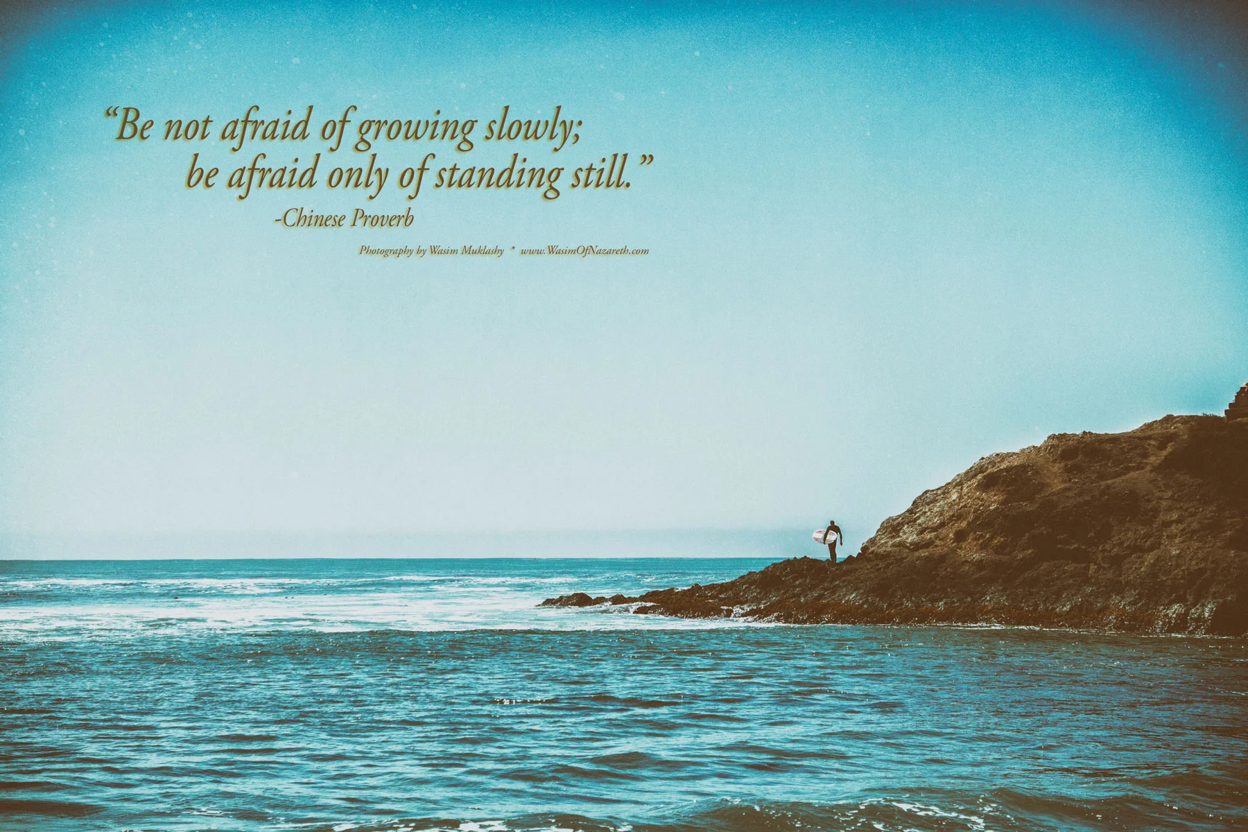
    “Be not afraid of growing slowly; be afraid only of standing still.” -Chinese Proverb
    **
    There it is – This Week’s Motivational Kick In The Yahoo!
    **
    Move!

  • A Monday Motivational Kick In The Yahoo – September 8, 2014

    A Monday Motivational Kick In The Yahoo – September 8, 2014

    Wasim Muklashy Photography_Monday Motivational_September 8_Carl Sagan

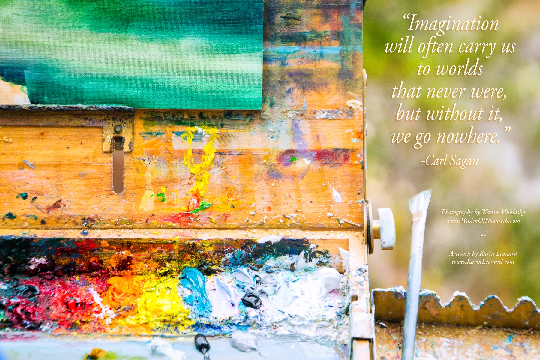
    “Imagination will often carry us to worlds that never were, but without it, we go nowhere.” -Carl Sagan
    **
    There it is – This Week’s Motivational Kick In The Yahoo!
    **
    Dream!

  • A Spontaneous Excursion Up Pacific Coast Highway – Part 2: Big Sur

    A Spontaneous Excursion Up Pacific Coast Highway – Part 2: Big Sur

    Image asset

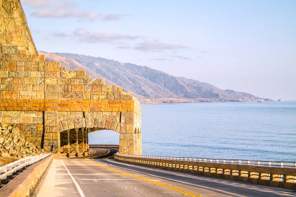
    So after the kayak melee in Morro Bay, it was time for Stephen Chiang, the photographer I was assisting, and I to drive up north to San Francisco for the job the next morning. Put two photographers in a car, give them the choice between A. a straight and direct, but boring route, and B. a windy, curvy, 2-hours-longer scenic route through Big Sur, and, well, you can guess which one they’re going to choose 11 times out of 10. So up the curvy Pacific Coast Highway we went, absolutely one of the most beautiful and scenic drives in the country. As we made our way through Cayucos, then Cambria, we stopped for lunch before PCH opened up along the Pacific Ocean for good from the lowlands of San Simeon (best known for Hearst Castle), all the way up the jagged picture-perfect sparsely populated Central California coastline to and through the majesty that is Big Sur. We pulled over and admired for a while, excited at the fact that just 24 hours from now, we’ll be back here to spend the rest of the week making the tough decisions of frolicking around the grand vistas overlooking the Pacific, or splashing around in this, the largest of the world’s 5 oceans.

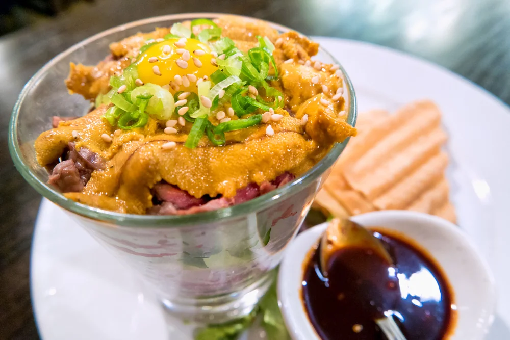
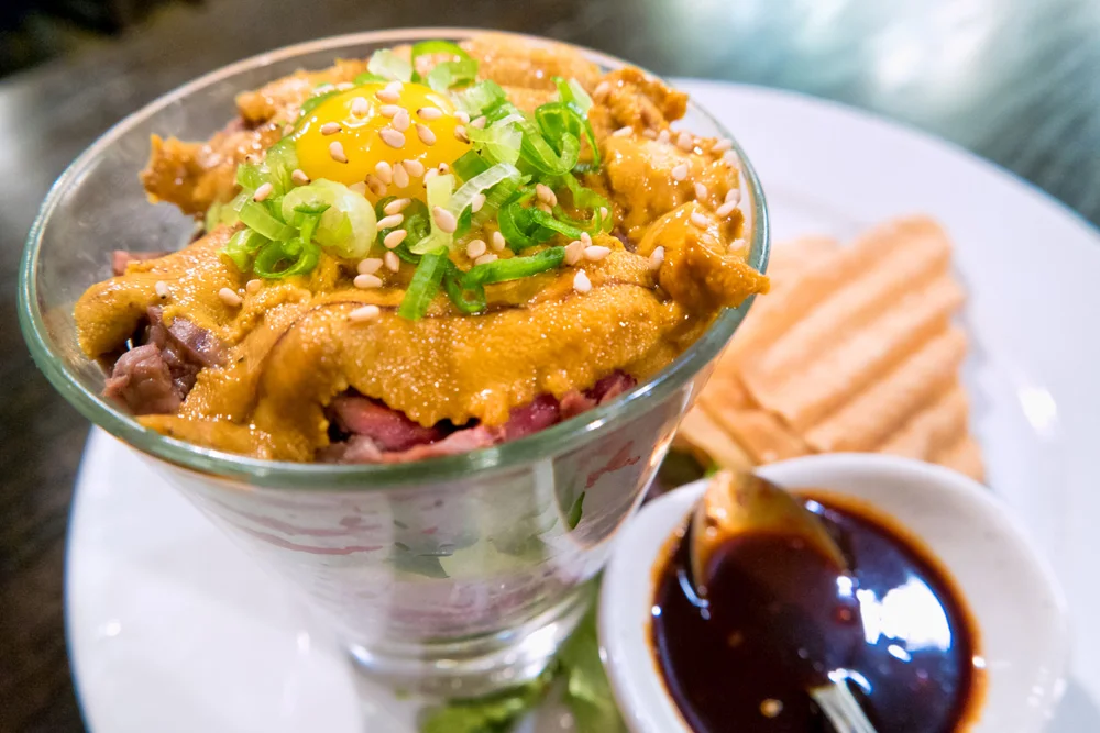
    But first, we had the task of finding dinner and a place to rest our heads for the night in San Francisco for the job in the morning, so we crossed over the famous Bixby bridge, rolled past Monterey and Carmel, made a pit stop in San Jose for my first experience with Yakitori at Gaku Yakitori in San Jose (I ate sea urchin!!! Anthony Bourdain would be proud!). There we used Airbnb.com, found ourselves a place to stay for the night, so after dinner, rolled into San Francisco around midnight. We woke up the next morning to fresh coffee from our host, who just so happened to be the photo editor for Via Magazine, an edition of the Automobile Club publications covering the western states, so, well, naturally, we all immediately clicked. (BTW kind Airbnb host, if you’re reading this, I have a feeling you’ll be hearing from us…)

    Image asset

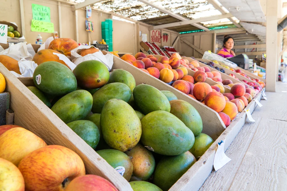
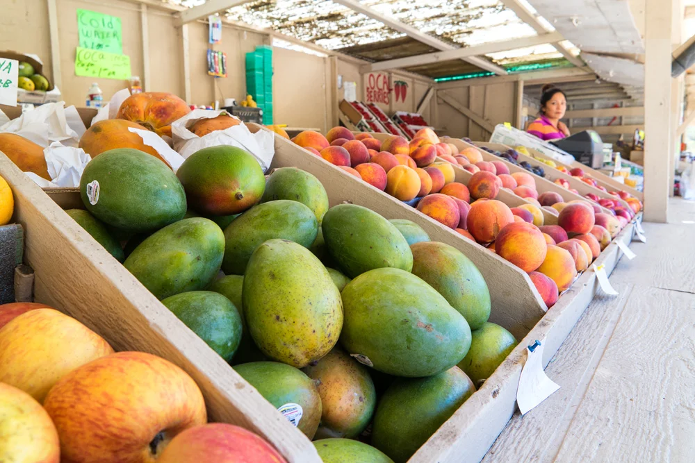
    The work day went suspiciously smoothly. It was a corporate headshot job, and we were in by 10am, out by 3pm. We didn’t even bother to stay in the city, opting to immediately get out, back along the coast, stopped in Pacifica at a roadside fresh produce stand for some snacks and supplies, and proceeded on down to Big Sur, where we were to meet my cousin, my aunt, and the family for dinner at Andrew Molera State Beach campground, our home for the next few days.

    Image asset

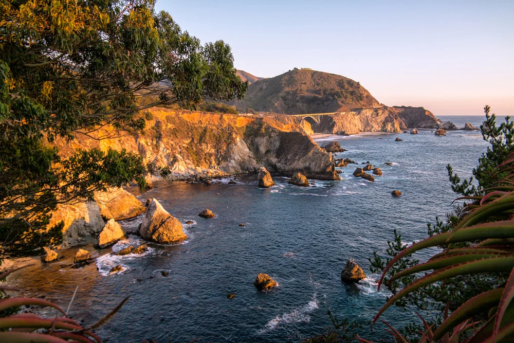
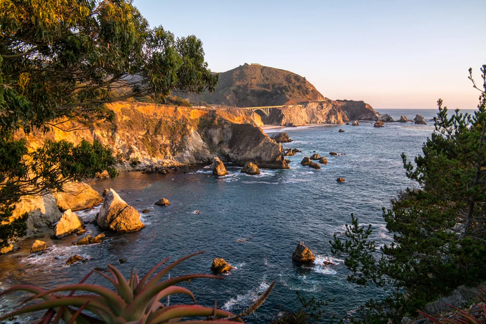
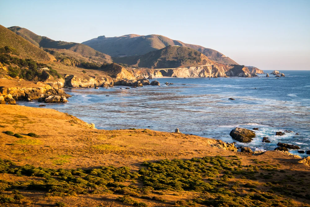
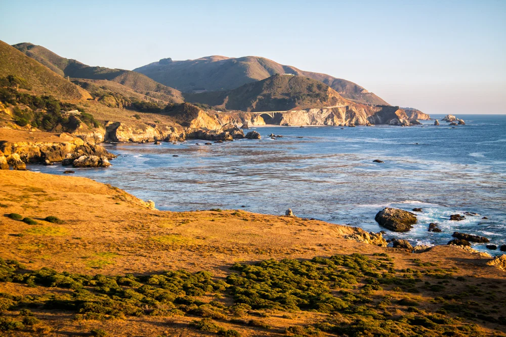
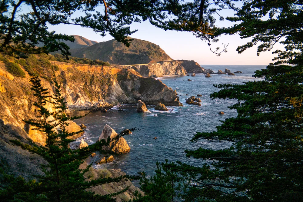
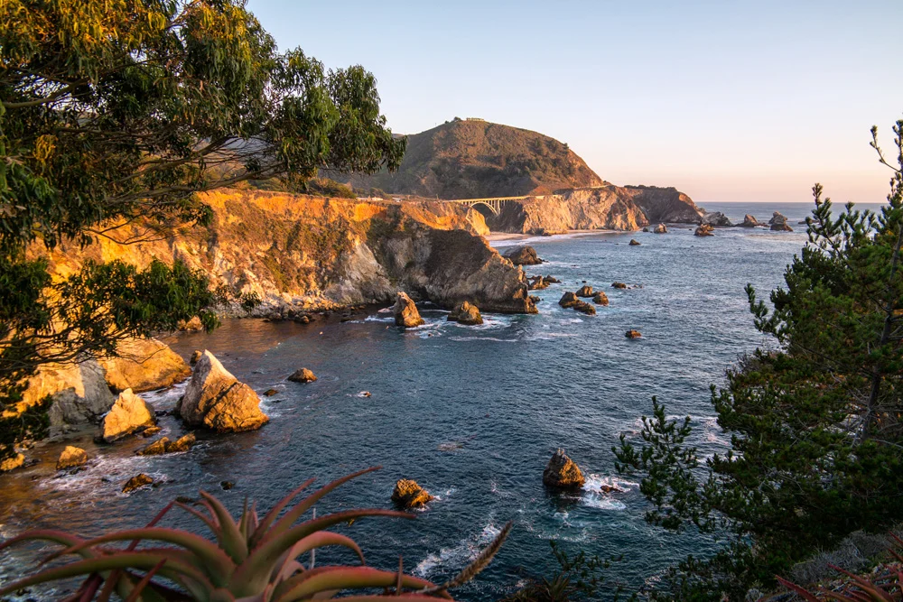
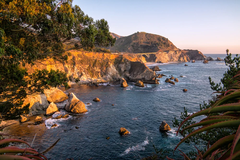
    Luck would so have it (yes, all luck, no planning or rushing to break down the equipment and get out of the city by a certain hour of course), that we made it back to the infamous Bixby Bridge in time to find a few vantage points to get some solid sunset shots. What are the chances?

    We pulled along the side of the road at Rocky Point Restaurant, managed to get a few good shots and angles, not a difficult task in a location like this, but something still told us that we should continue on. So we did, and about a mile further down the PCH, we found a small turnout to park alongside what seemed to be a candidate for a perfect overlook. We took a trail along the bluff (extremely careful to avoid the poison oak that seemed to be in full bloom), which ended at the edge of an abandoned property that we didn’t realize until we were already on it. The boarded up house and remains of an old firepit gave it away. But when we turned around, there was no way we were backing off right away.

    This.

    View.

    Was.

    Perfect.

    Image asset

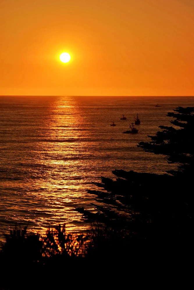
    We spent the next 15 to 20 minutes capturing the last rays of sunlight over the Pacific and shining onto the coastline hugging the Bixby Bridge, turned towards each other with a knowing “that’s why we do this” smile, and walked back to the car.

    Hungry.

    We finally pulled up to Andrew Molera State Park, hiked through a 1/2 mile tree canopy into our campsite where the rest of the family was waiting, burgers already grilling, beers already poppin,’ and hence began our stay in Big Sur.

    Check out the gallery of images from that day and evening below, taken on Samsung NX3000 and NX30 mirrorless cameras.

    Click here for the next part, Part 3: More Big Sur

    And if you missed it, here’s Part 1: Morro Bay

    And for more of my madness, including additional images and edits from this very trip:
    Instagram: @wasimofnazareth
    Google+: www.Google.com/+WasimMuklashy
    Facebook: www.Facebook.com/WasimOfNazareth
    Ello: www.Ello.co/WasimOfNazareth

  • A Spontaneous Excursion Up Pacific Coast Highway – Part 1: Morro Bay

    A Spontaneous Excursion Up Pacific Coast Highway – Part 1: Morro Bay

    Pacific Coast Highway PCH Morro Bay California Part1 07formatoriginal

    It began as a work trip. Well, sort of. I’m finding more and more and more these days I’ll fish for any excuse to leave Los Angeles…just the thought alone gets me excited. So when Stephen Chiang, a photographer friend that I occasionally assist mentioned he needed an assistant for a gig in San Francisco, I jumped at it. When he mentioned it would begin with a night of camping in Morro Bay State Park, and end with 4 nights of camping in Big Sur, that wasn’t just the icing on the cake, that WAS the cake.

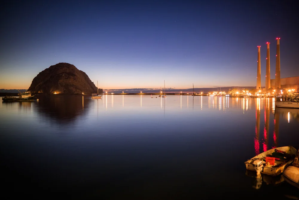
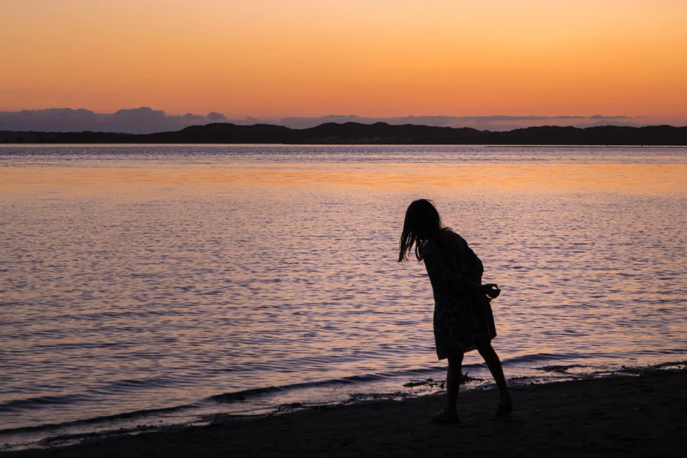
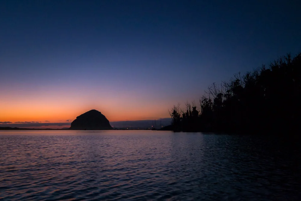
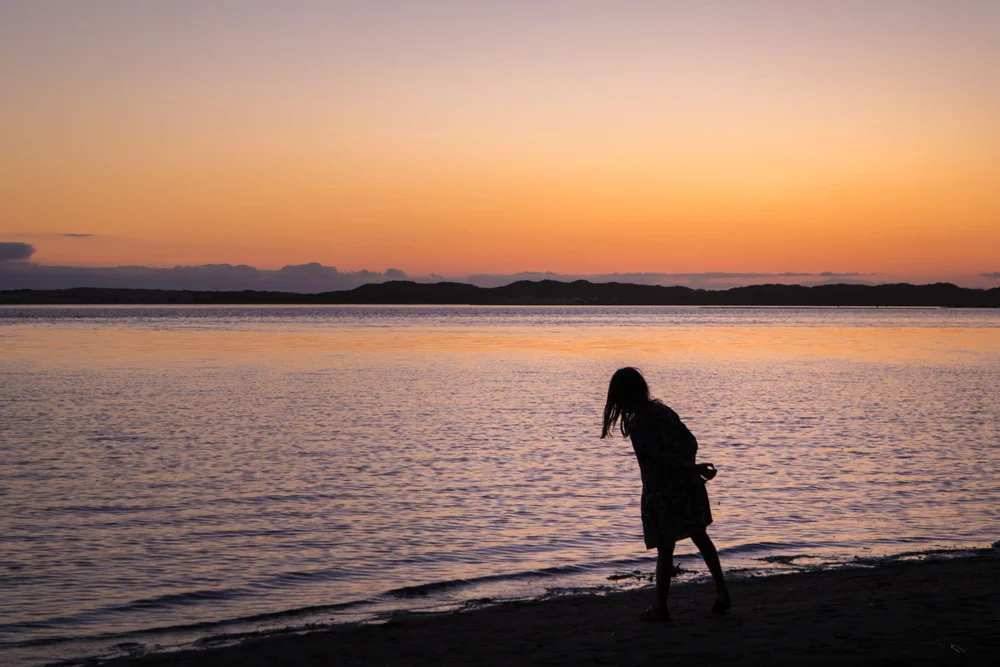
    We hit the road on the Sunday before Labor Day, caravanning with his family (his wife, who happens to be my cousin, their kids, and my aunt), got to Morro Bay, took a walk along the shore for the first sunset of the trip, and then headed down to the village for a seafood dinner at The Galley. Afterwards, we headed back to camp, lit the campfire, shared some scotch and stories, and crashed.

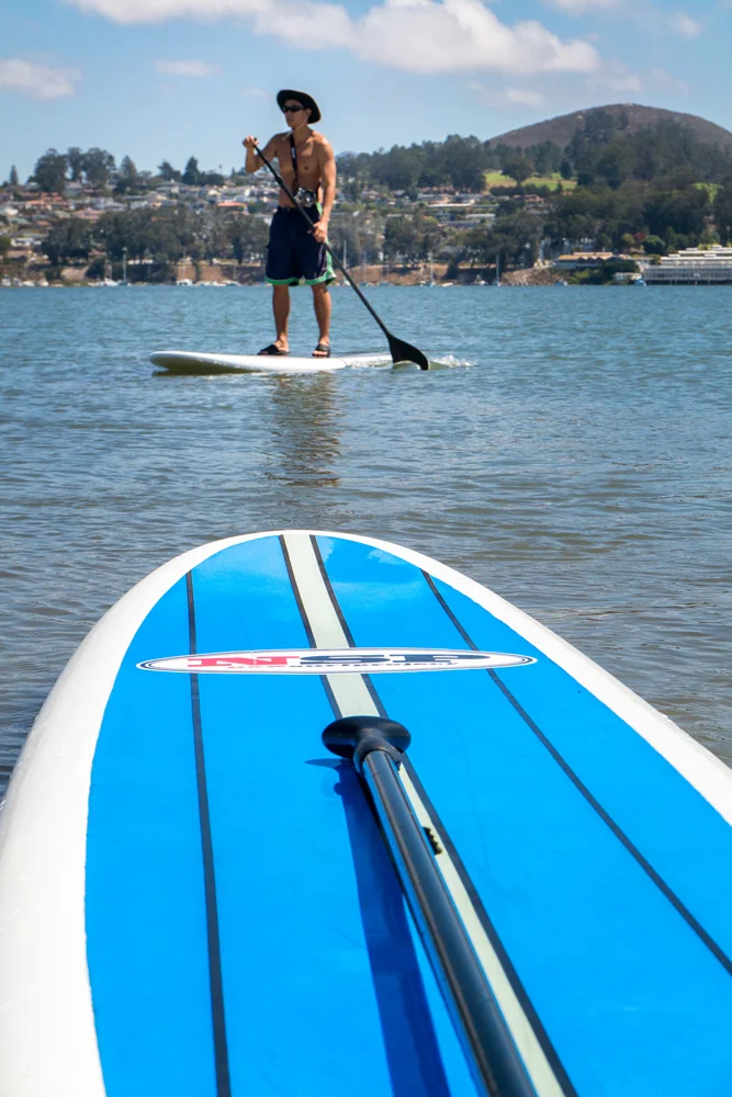
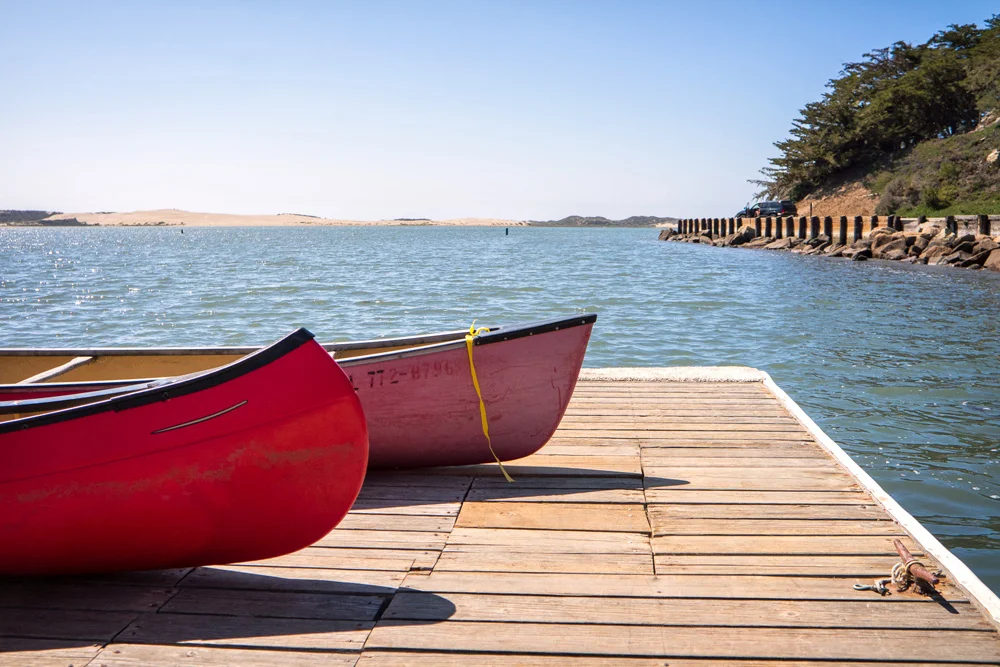
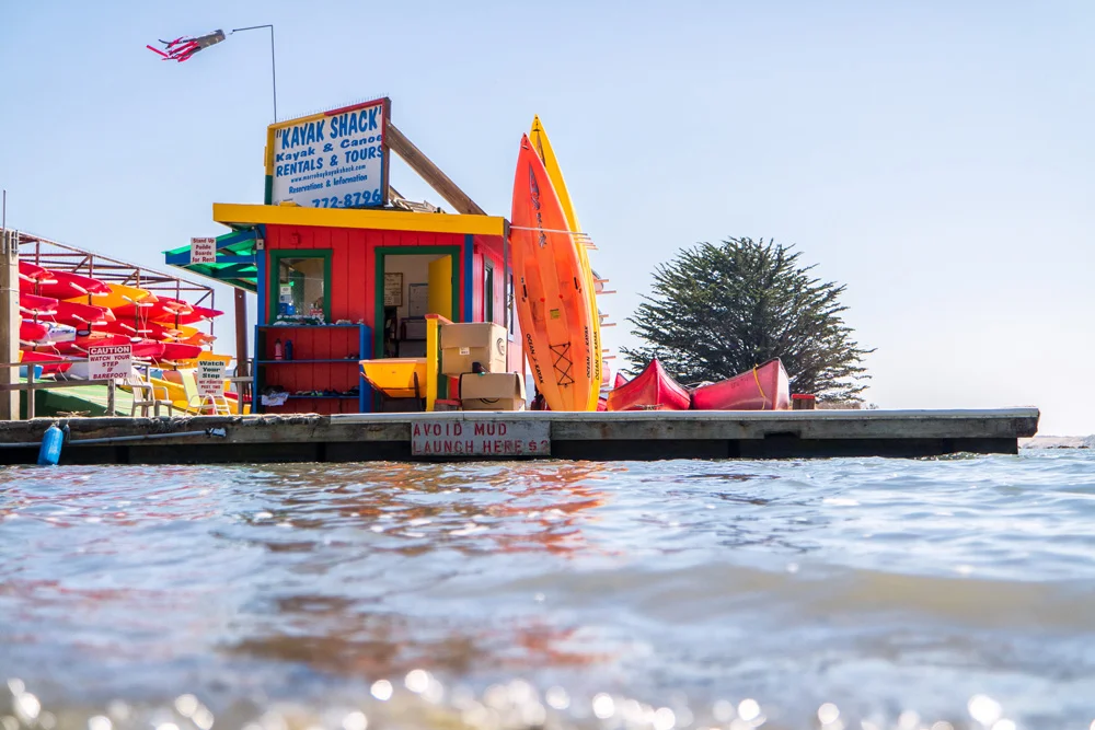
    The next day was an adventurous and activity filled one. It also ended up being the first time I’ve ever entered and operated a kayak. My cousin and one of her kids hopped on a paddle board, her husband and the other kid hopped on another paddle board, and my aunt and I jumped into the kayak – both rookies mind you, and it was immediately apparent. It took a few twists, turns, and devising a system to coordinate our left from our right, but eventually, we got the hang of the bugger…for now.

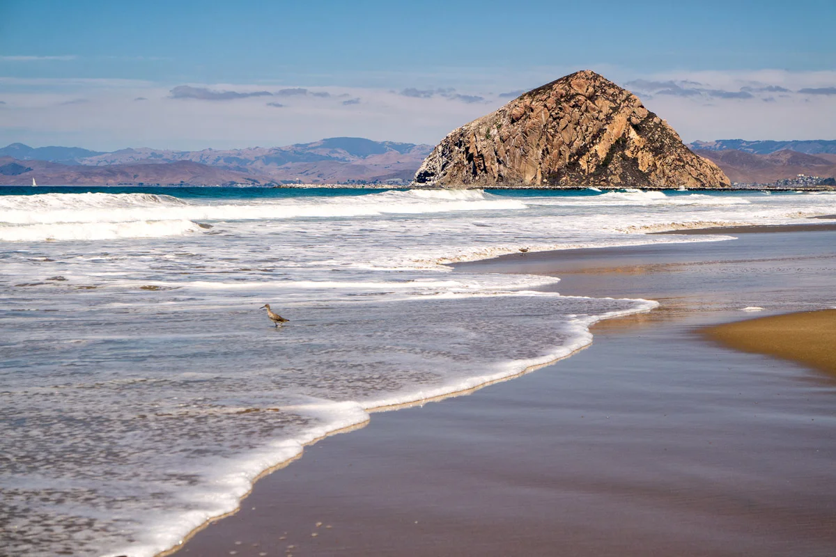
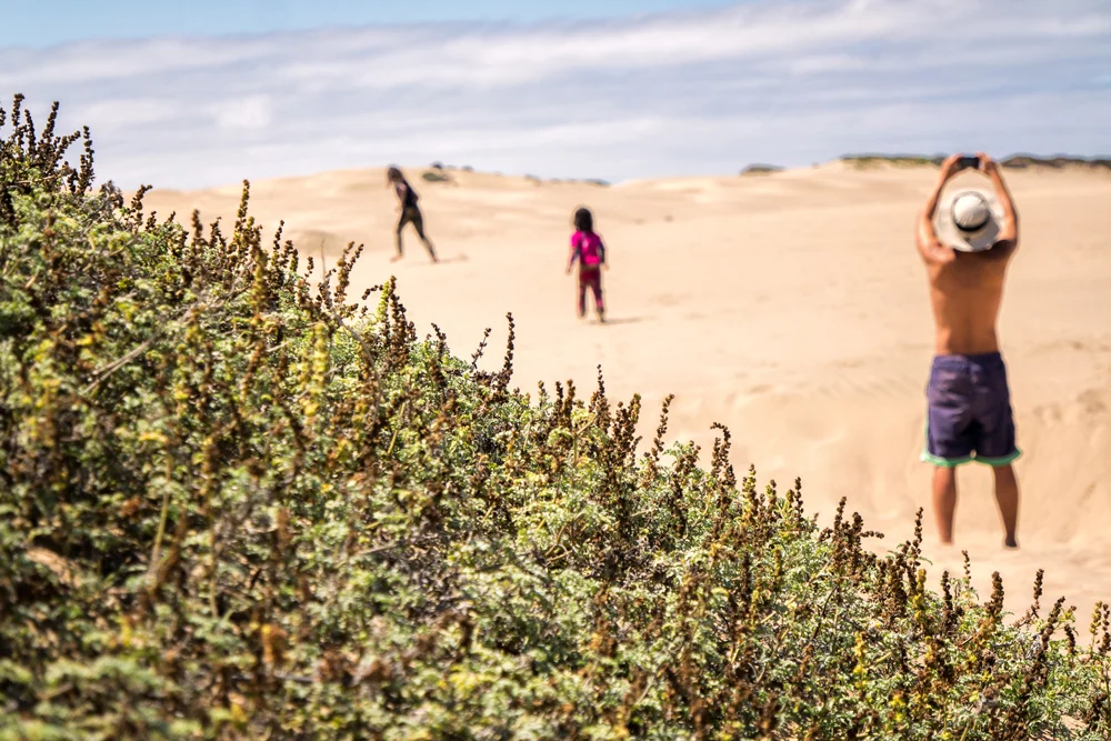
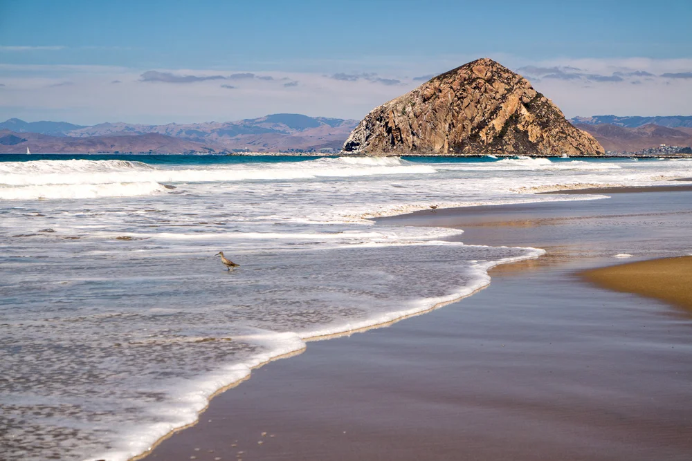
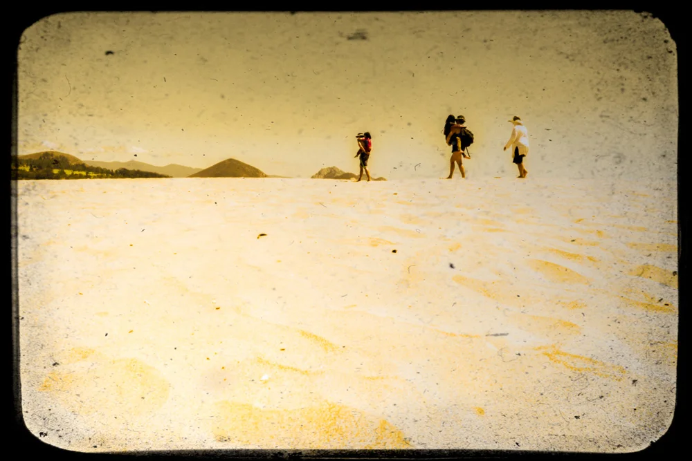
    We made it across the bay to peninsula on the western side of the bay that ran along the Pacific coast towards the icon of the town, Morro Rock. The sandbar was about a half mile wide and covered with sand dunes that we traverse to get to the beach side. We spent a couple hours in the sun, had a packed lunch, and then made our way back over the sand dunes to our ‘transportation.’

    The return trip was not NEARLY as easy as we had anticipated. No matter what we did, all we could manage was to spin around in circles while the undercurrent pulled us further and further away from the direction we were trying to go in. Apparently the tide has dropped and we were trying to kayak through 12” deep water. Well, needless to say…that didn’t work out too well. We ended up spinning around in place while the current was pulling us in the wrong direction almost snapping the paddles as we dug them into the sand to try to stay put. No bueno. I’m partly embarrassed to admit we ended up holding onto the back of my cousin’s paddle-board as she towed us in…

    And since I feel compelled to find a way to make you forget about that last sentence and focus on something else, here are a few images from that first day in Morro Bay, all of which were taken with a Samsung NX3000 mirrorless camera…

    If you’re ready for Part 2: Big Sur, click here.

    Finally, for more of my madness:
    Instagram: @wasimofnazareth
    Google+: www.Google.com/+WasimMuklashy
    Ello: www.Ello.co/WasimOfNazareth

  • A Monday Motivational Kick In The Yahoo – September 1, 2014

    A Monday Motivational Kick In The Yahoo – September 1, 2014

    Wasim-Muklashy-Photography_Monday-Motivational_September-1

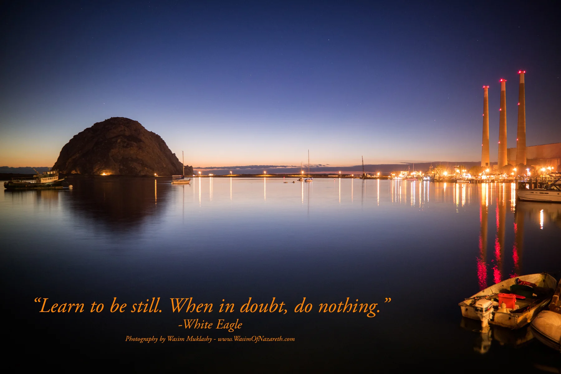
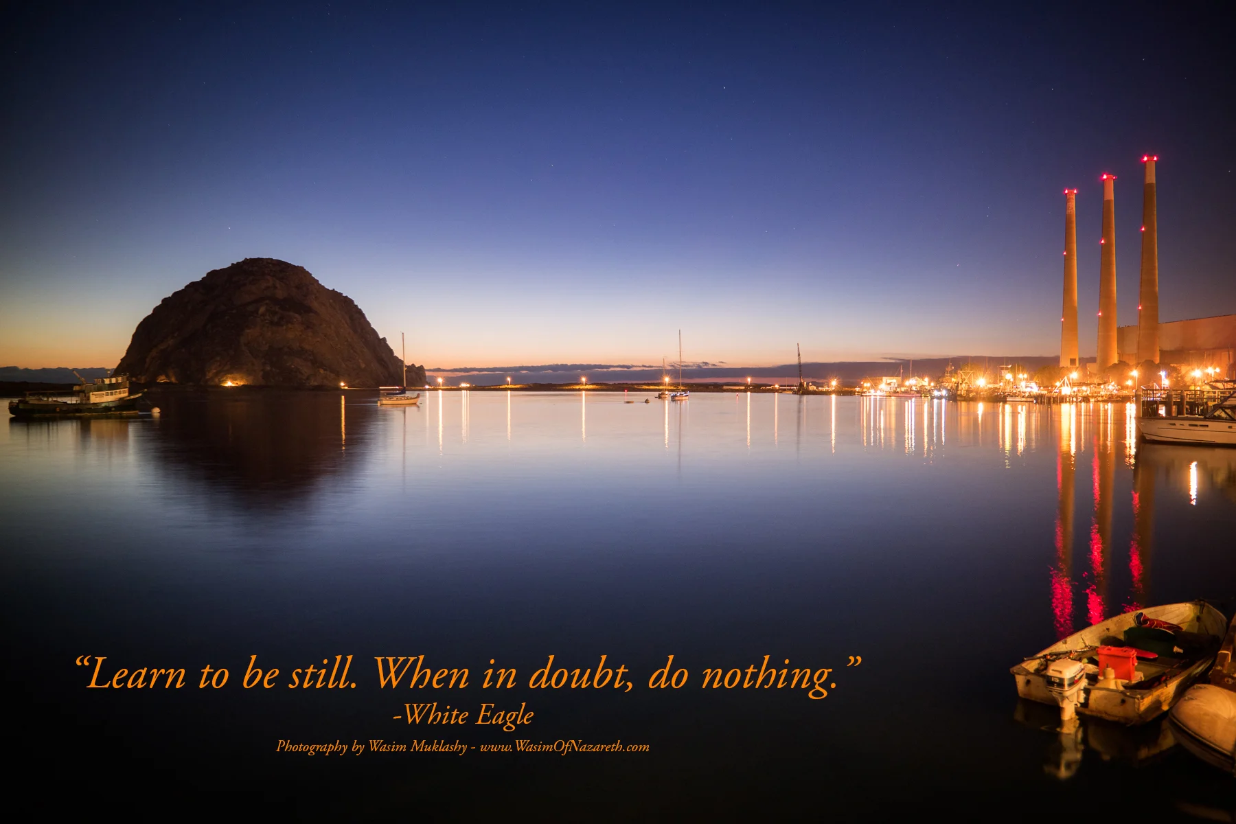
    “Learn to be still. When in doubt, do nothing.” -White Eagle
    **
    There It Is – This Week’s Monday Kick In The Yahoo!
    **
    Marinate!

  • How To Perform A Quick Minor Composite In Photoshop

    How To Perform A Quick Minor Composite In Photoshop

    Wasim Muklashy Photography_Tuolume Meadows_Yosemite National Park_California_Samsung NX30

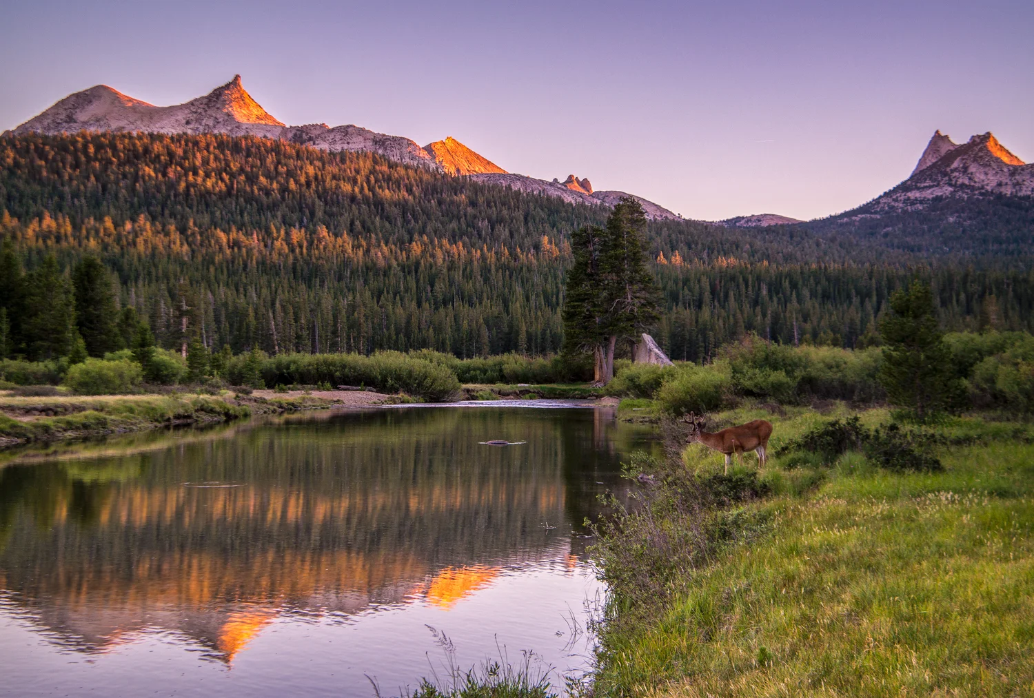
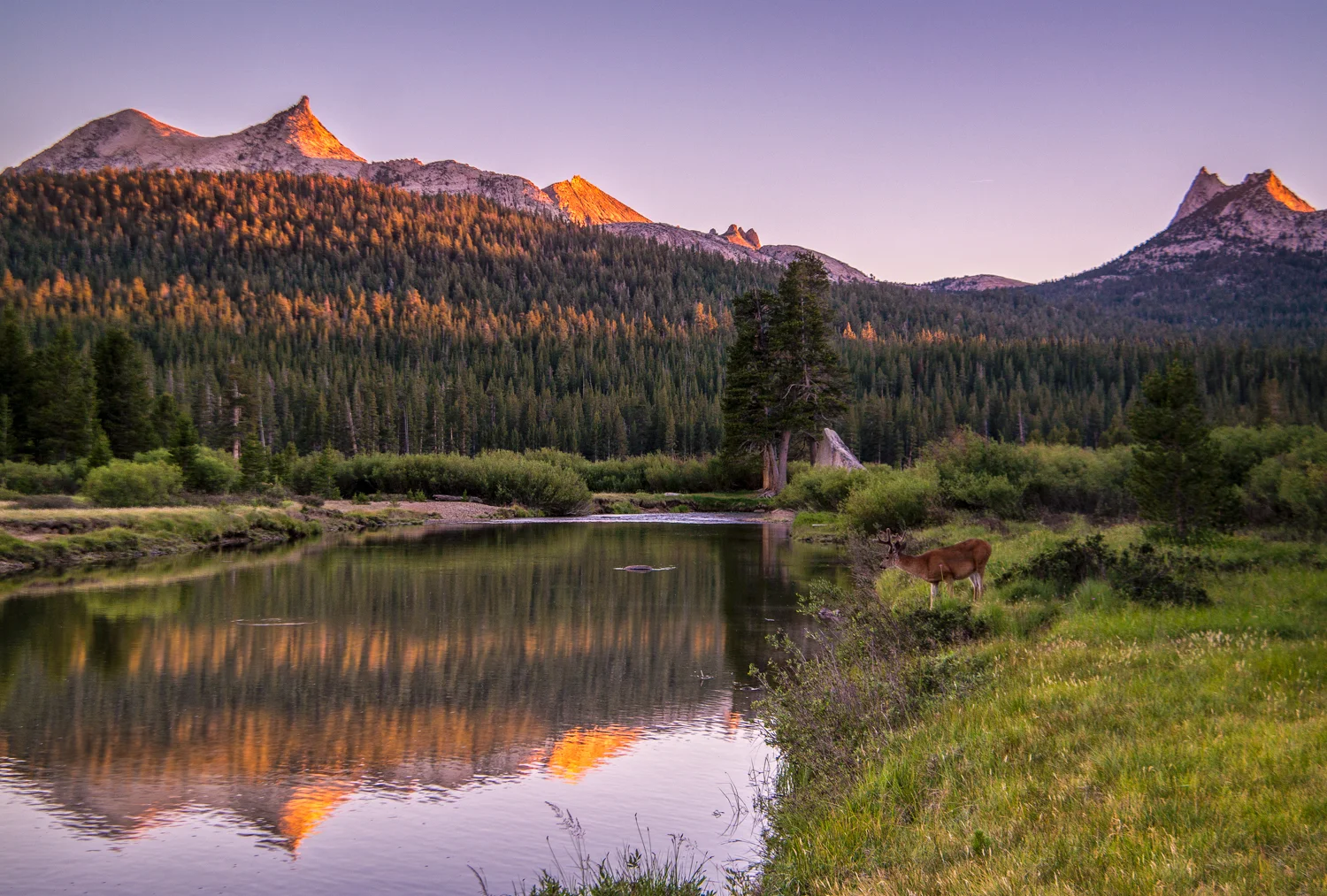
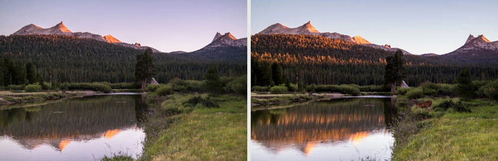
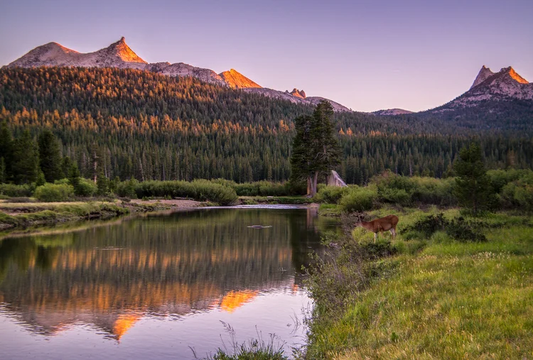
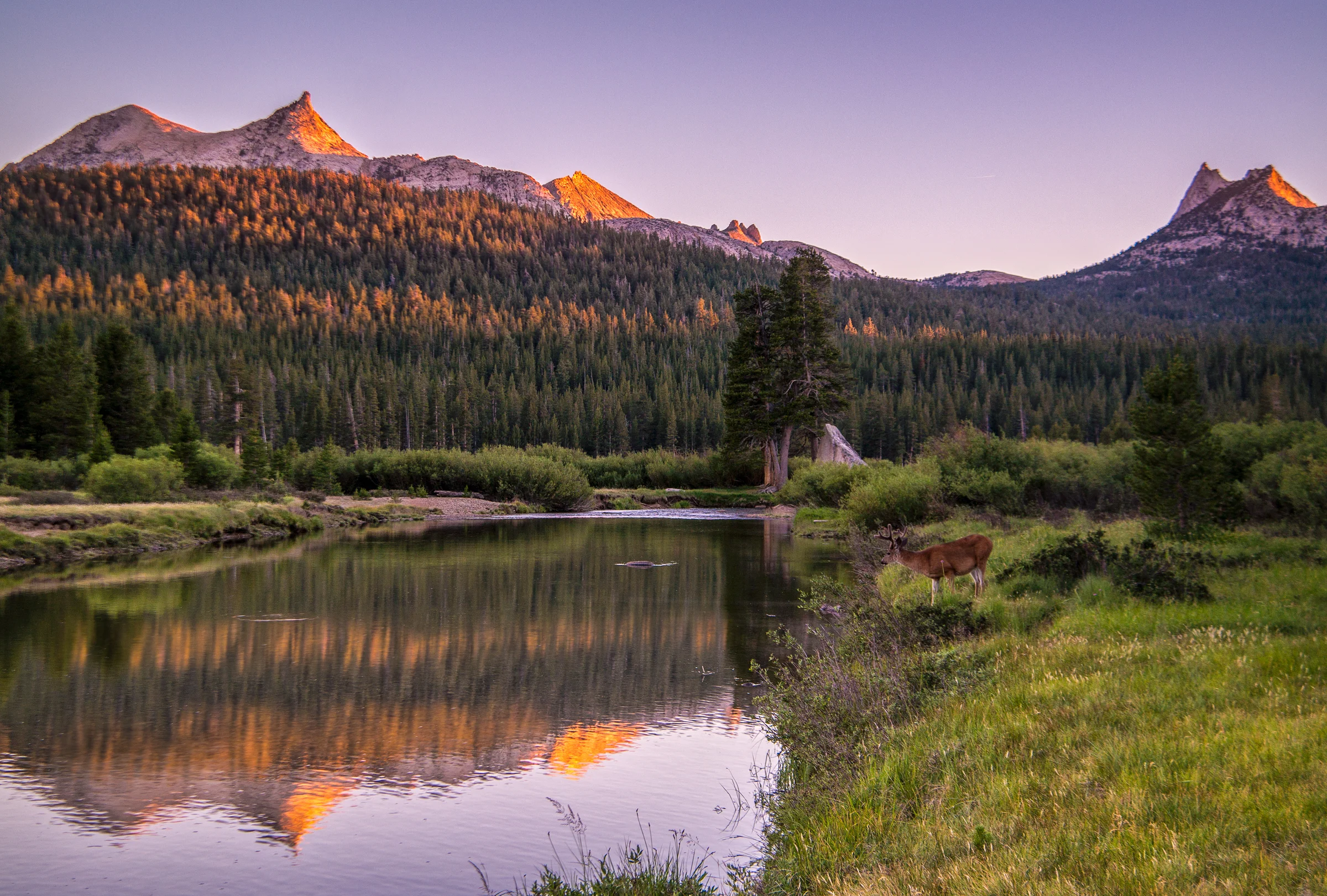
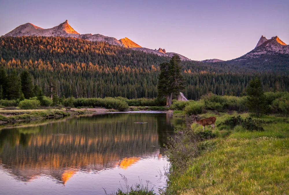
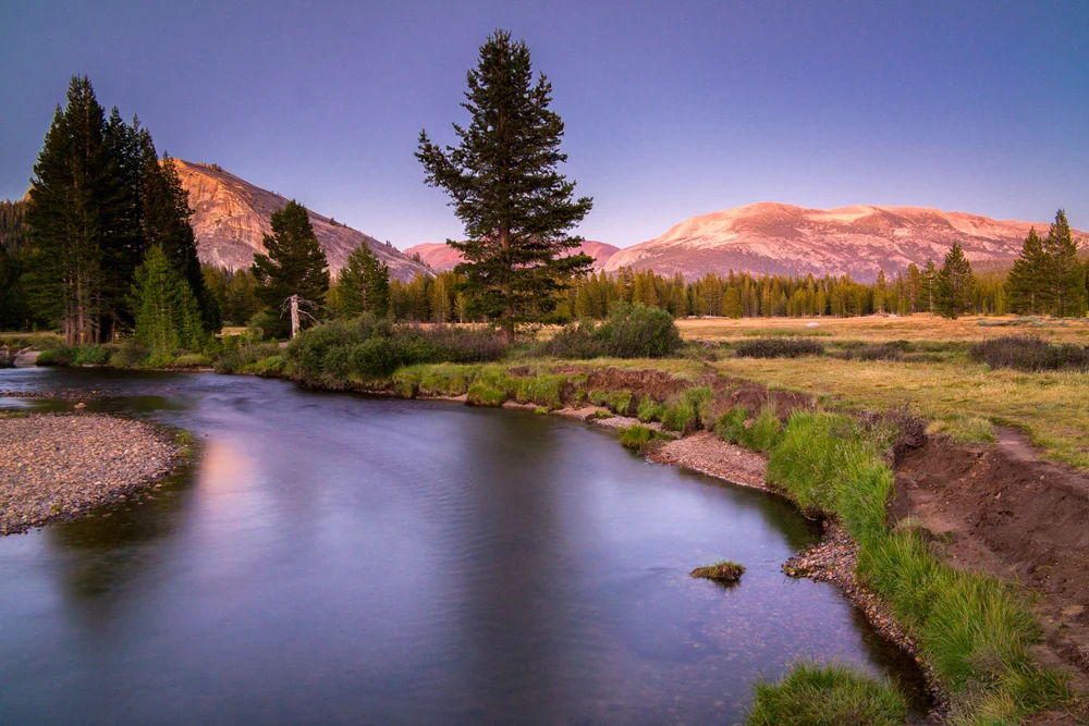
    As I was standing in Yosemite’s Tuolumne Meadows a few weeks ago, awaiting the sunset, I was on a sandbar off to the north side of the Tuolumne River east of bridge leading towards Soda Springs. As I stood there framing the shot, I got the elements I liked, and the light was just about to be perfect. The focus of this one was the light dancing upon the top of Cathedral Peak and Unicorn Peak and the trees on the ridgline below it. As the light started to bounce off those treetops and the peaks, I began to snap a few frames. I was delighted.

    About 2 minutes in, a lone deer decided to wander up and pose directly in the bare patch of grass in the foreground of my image. I damn near lost my mind. It looked at me, I looked at it. It turned away and just stood there. There was no doubt in my mind this was all about vanity, and it wanted its portrait taken. Who was I to argue? I immediately adjusted the exposure and

    Snap.

    Got the bugger.

    As soon as the shutter fired, he looked back at the water, up at the mountains, and walked away. It was like a gift from the Yosemite gods.

    After the deer left, I was still noticing the light on the top of the ridge line, so went back to my original plan, sans deer, and fired a few more frames.

    Wasim-Muklashy-Photography_Tuolumne-Meadows_Yosemite_National-Park_Deer-Composite-Tutorial_Comp

    When I got to the computer to check out the images, I noticed elements from each frame that I loved. In the one with the deer, I loved the light bouncing off the tops of the trees and, well, of course, the star of the show, the deer him/herself. But what I liked in the images I took after were the sharpness of the ridge-line that was lacking in the frame with the deer because I was focused on that element of the composition. Problem is, this frame didn’t have that second row of light on the trees, and well, it didn’t have the deer. This is were I thought to myself, it’s about time. Time to get my feet wet with composites. And this seemed like a relatively easy enough situation to do it. I was going to take that deer and the lights on the treetops from the 2 minutes earlier, and put him in the frame with the sharp mountain tops.

    My first attempt was to try to use the selection tool. Nope. Then I tried the magic wand. Definitely nope! Then I took the two layers, put the deer-less one on top, and tried using the eraser where the deer was. Absolutely nope!!

    At this point, I knew I was going to have to break down and figure out how to use a layer mask, but I had never really done it before. I first checked out a few tutorials on YouTube before I ended up consulting with my brother, who, as an animator and illustrator, has had some considerable experience in Photoshop. He walked me through it, and it seemed to work out perfectly. Here’s a brief video describing the method that I used to get the resulting image you see at the top of this post:

    The image was shot on a Samsung NX30 and a Samsung 18-200mm lens.

    And for more of my madness:
    Instagram: @wasimofnazareth
    Twitter: @wasimofnazareth
    Google+: www.Google.com/+WasimMuklashy
    Facebook: www.Facebook.com/WasimOfNazareth
  • A Surprise Journey Through The Range Of Light – The Eastern Sierra Nevadas – Part 3: Mono Lake

    A Surprise Journey Through The Range Of Light – The Eastern Sierra Nevadas – Part 3: Mono Lake

    Wasim Muklashy Photography_Mono Lake_California_Samsung NX30

    Day 3 of this unplanned impromptu journey into the Eastern Sierras thing was a tough choice. While I was happy with what I got in Yosemite’s Tuolumne Meadows yesterday, now that I knew the lay of the land a bit better, it couldn’t hurt to head back again, which I would have been absolutely HAPPY to do. However, I was also dangerously close to Mono Lake, California, another one on the bucket list, so I had to decide whether to turn this into 2 days of Tuolumne or 1 day of each, Tuolumne and Mono Lake, both of which, in my opinion, would have been WIN! I know, I know, tough decisions… But ultimately, the side of me that loves new things chose Mono Lake, figuring that, since the job got botched, I’d most likely be back up here again soon, so I’ll get another shot (major pun intended).

    Wasim Muklashy Photography_Mono Lake_California_-SAM_1480_1800

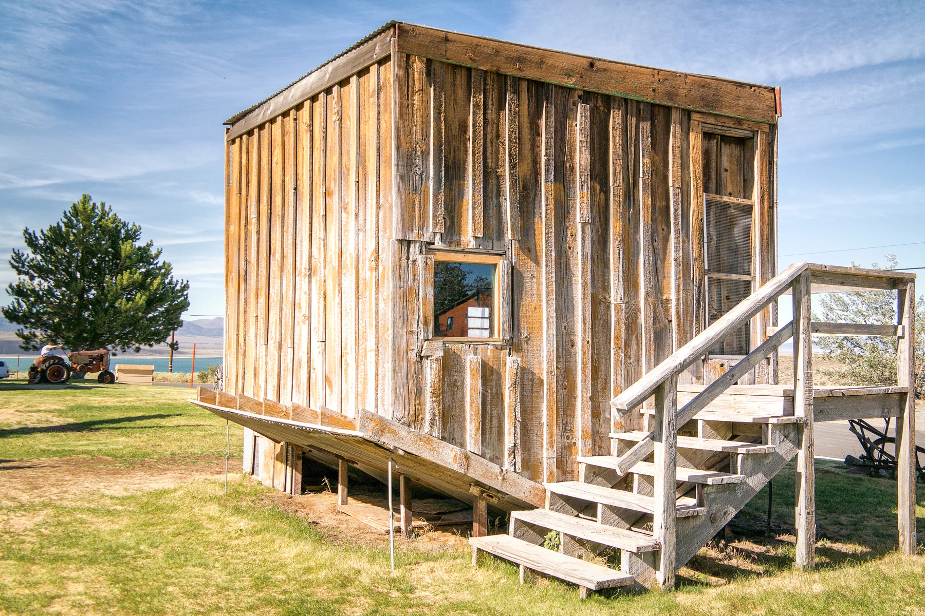
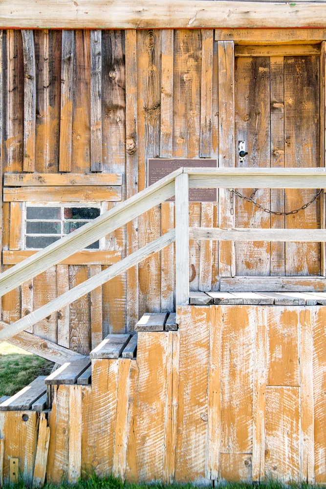
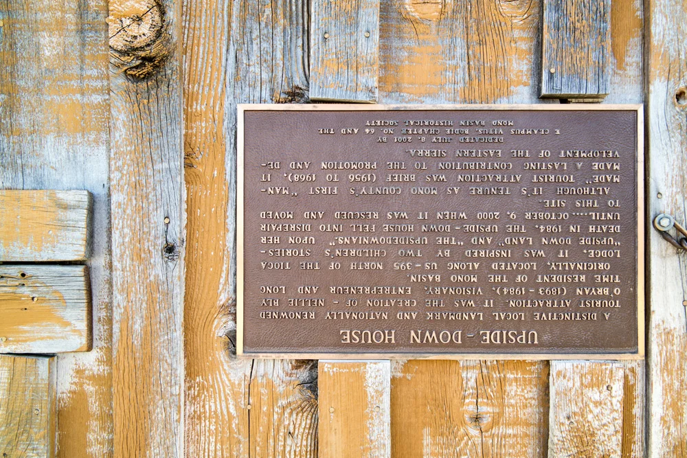
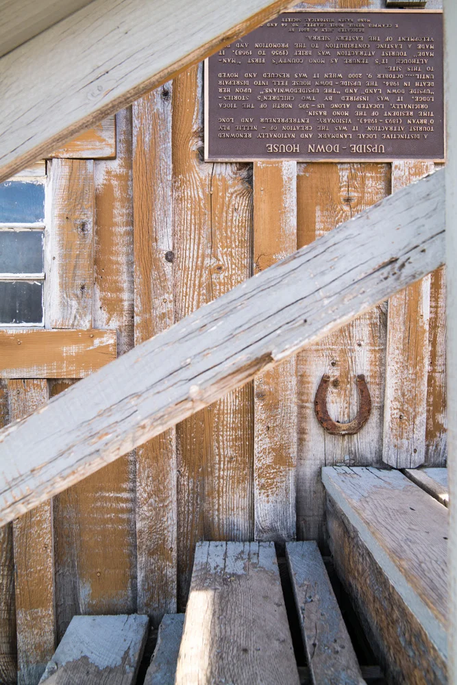
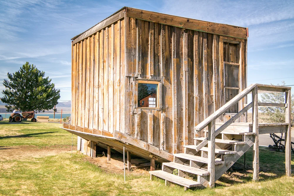
    Once again, I left the motel in Mammoth Lakes around 4. Seeing as how Mono Lake was only about 30 minutes from Mammoth, I figured I’d have a solid 2 hours to get the lay of the land, find my shot, set up, and hang out. I drove through Lee Vining, stopped at the visitor center to find out how to get to the Tufas, the landmark landscape of the lake, made a mini-detour to the ‘Upside Down House,’ (don’t ask…here’s the photo and the sign, which I haven’t even read…kinda don’t want to ruin the desert rat mystique of this one…), and drove the 10 or so miles to the section of the lakeside I was going to call home for the next several hours.

    Wasim Muklashy Photography_Mono Lake_California_Samsung NX30_-SAM_1579_1500B

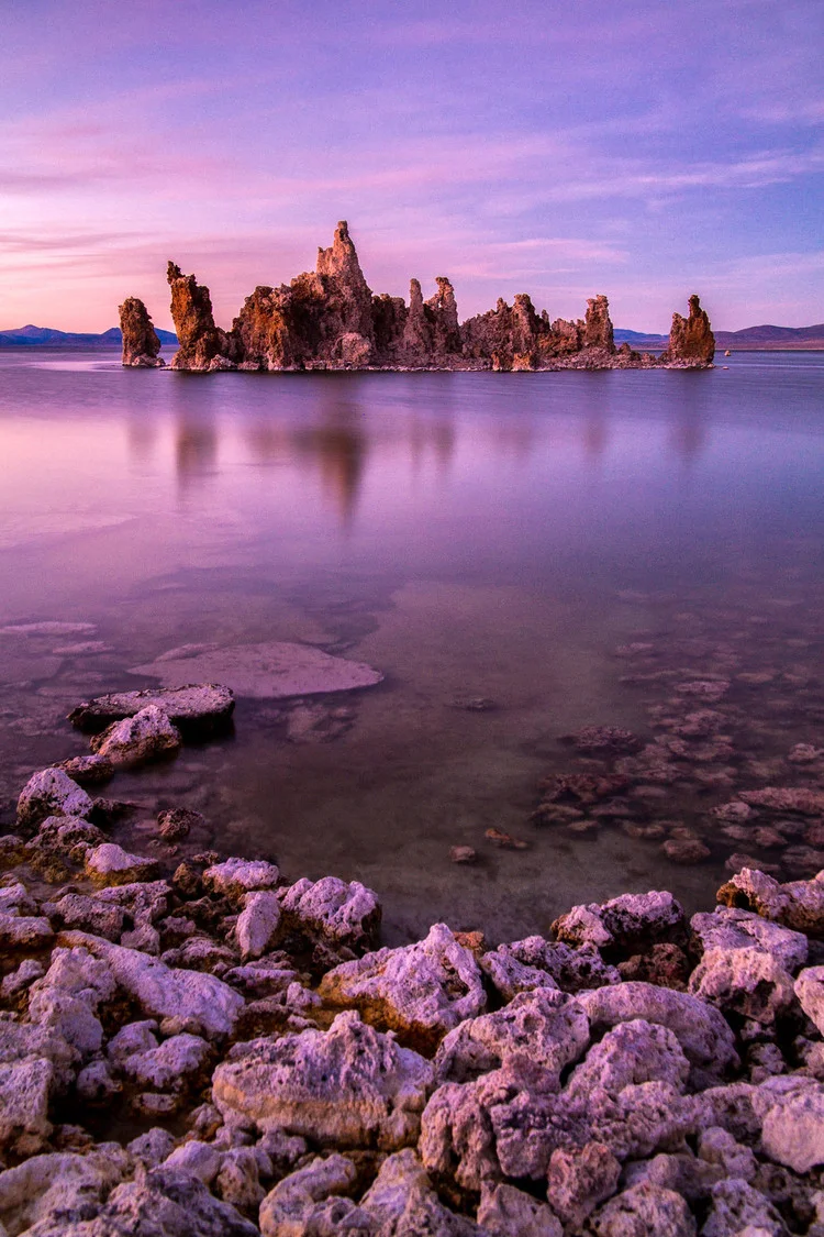
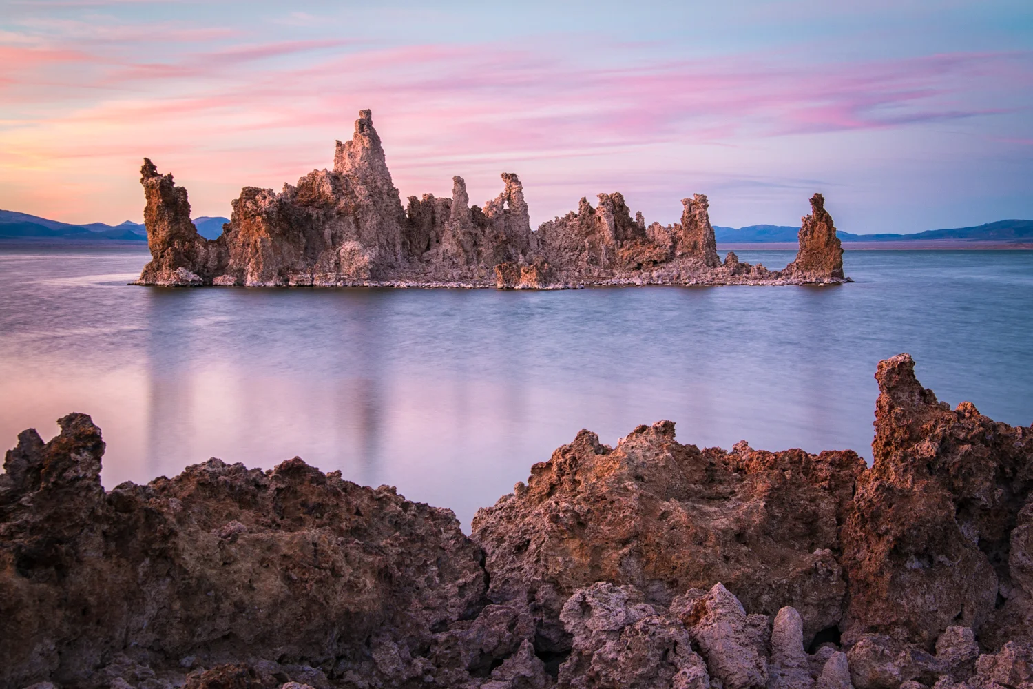
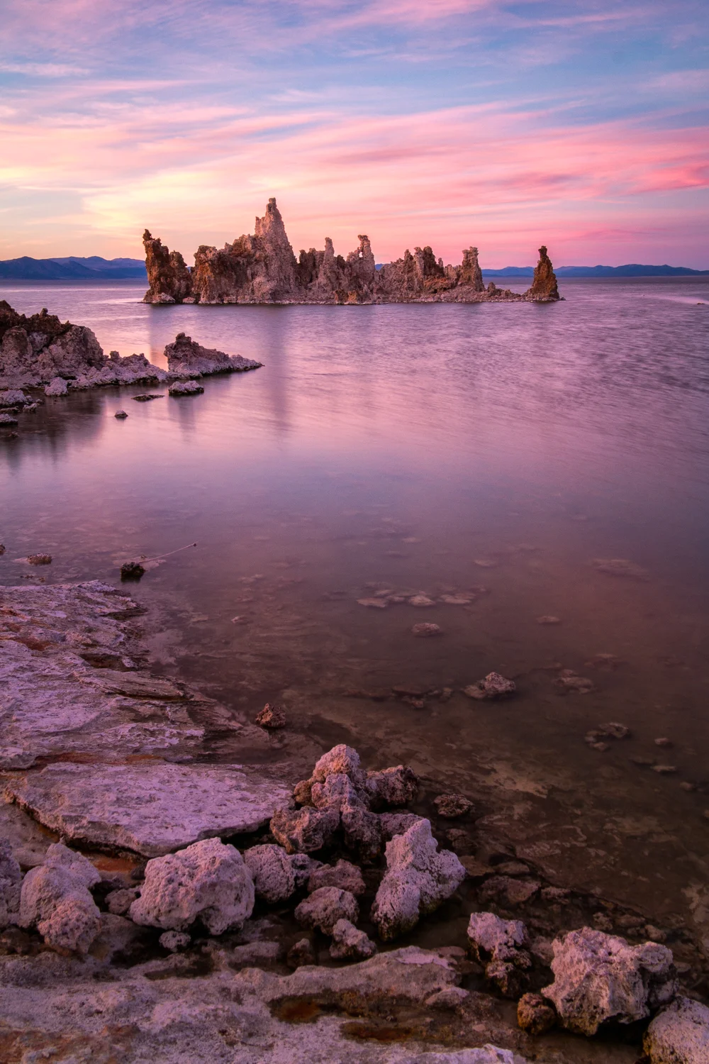
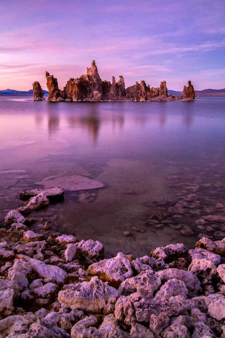
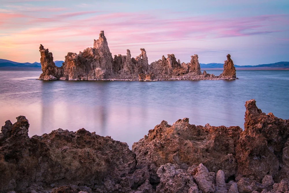
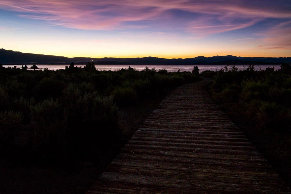
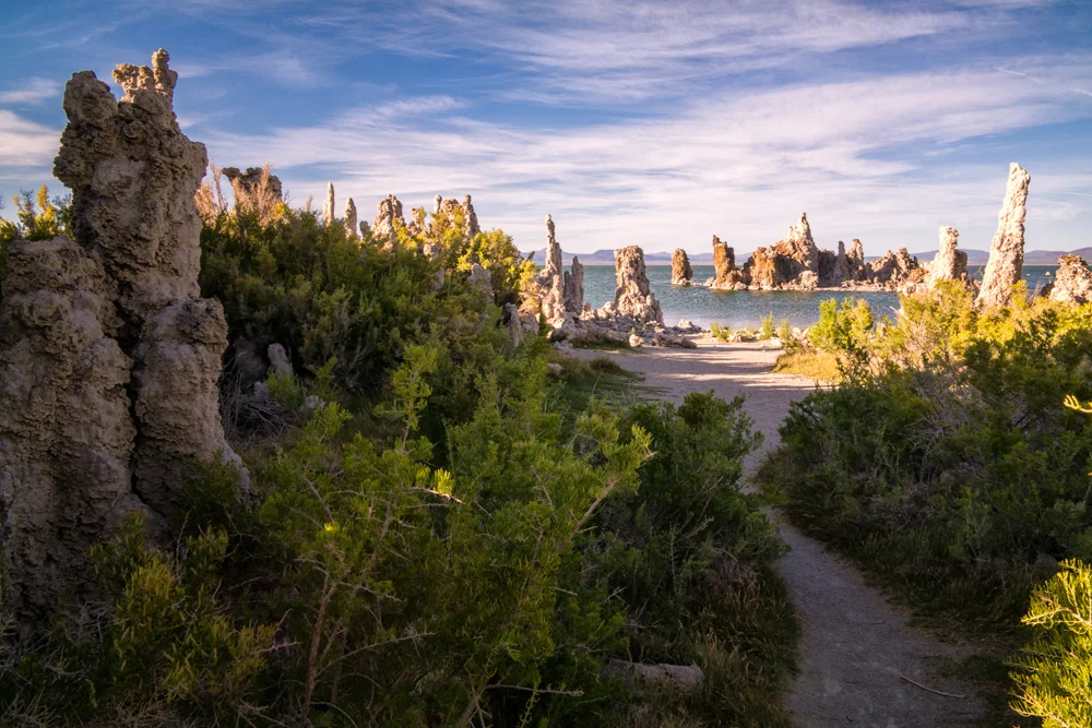
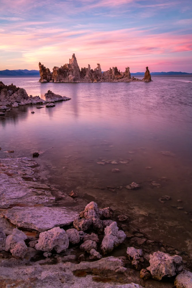
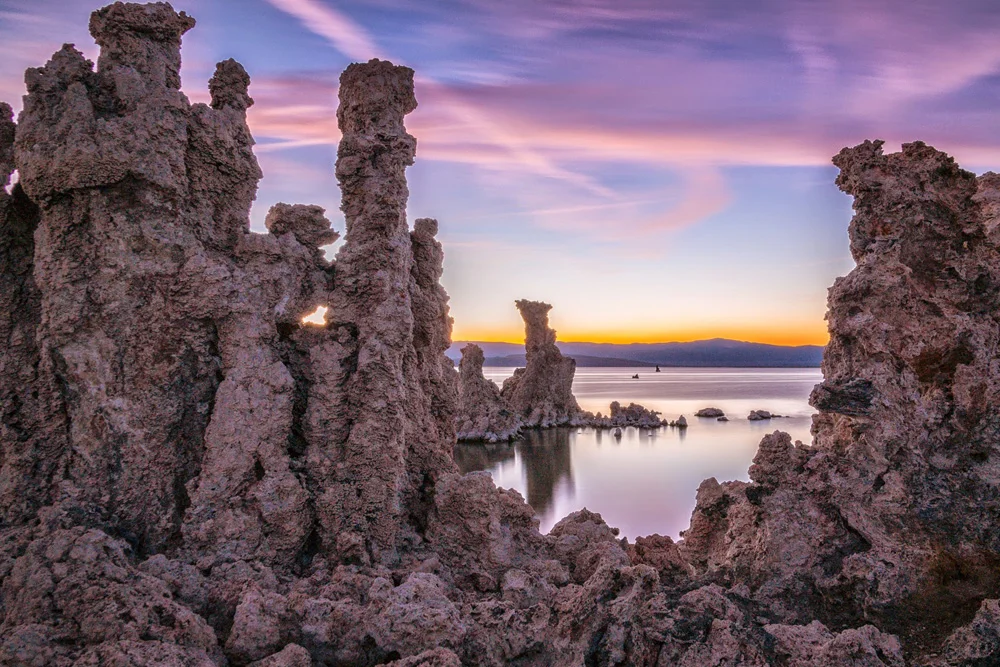
    I parked in the lot, and started walking down the path towards the shore, and the closer I got, the weirder everything started to get. There was a moment there where the wooden footpath ended, and the sand began, and it literally seemed like that one step took you from Earth, to Mars. These geological formations were the weirdest fricking things I’ve ever seen with my own eyes. I thought the hoodoos in last years trip to Bryce Canyon were from another planet, but these things just took things to a whole ‘nother galaxy.

    Apparently what they are are dried up hot springs. The calcium-rich springs come out of the ground, pushing through the limestone, mixes with calcium carbonate, creating what are essentially, underwater hot spring volcanoes that eventually calcify and leave these…things…behind. While they’re naturally created over millennia, and happen underwater, the water level at Mono Lake has dropped so much since water diversions began in 1941, that it has exposed the wonders of the tufas for the world to see.

    And those, my friends are what grace the top of this post and the gallery below. All of those images were also shot on a Samsung NX30 using a Samsung 18-200mm lens.

    I hope you enjoyed my posts from this random trip at least a fraction of how much I enjoyed making them.

    If you missed the first two parts, here they are:

    Part 1: Mammoth Lakes
    Part 2: Tuolumne Meadows, Yosemite National Park

    And for more of my madness: Instagram: @wasimofnazareth Twitter: @wasimofnazareth Google+: www.Google.com/+WasimMuklashy Facebook: www.Facebook.com/WasimOfNazareth
  • A Surprise Journey Through The Range Of Light – Part 2 – Tuolumne Meadows, Yosemite National Park

    A Surprise Journey Through The Range Of Light – Part 2 – Tuolumne Meadows, Yosemite National Park

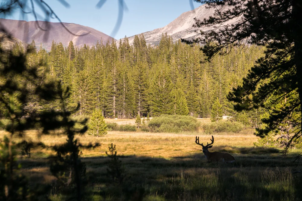
    Wasim Muklashy Photography_Tuolumne Meadows_Yosemite National Park_California_A Deer Pops in For A Drink

    This is just one of those places. You hear about it, you see pictures of it, you read about it, and if you’re a nature-lover or photographer, or better yet, both, you’d be hot damned if you that’s the one you didn’t get to cross off your bucket-list.

    Tuolumne Meadows, Yosemite National Park.

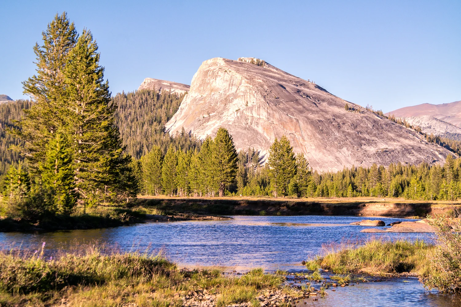
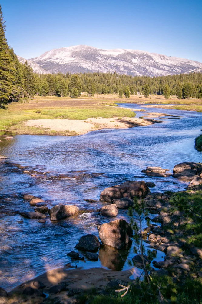
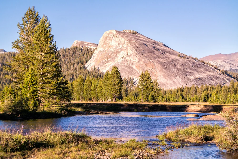
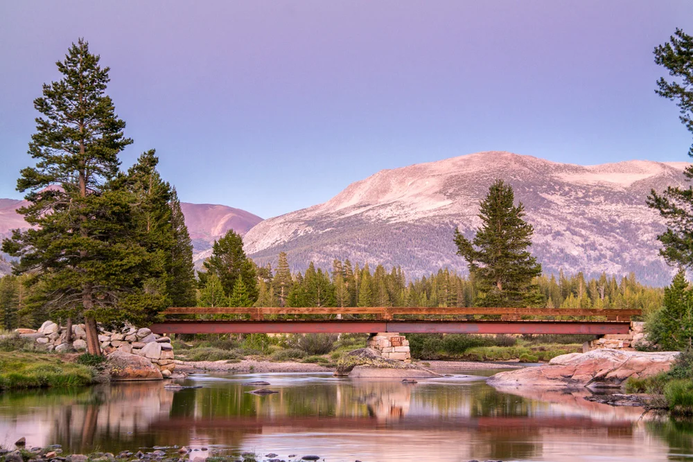
    The mystique around this place runs high. It’s been called a ‘photographers paradise,’ as well as one of ‘the most difficult places to photograph.’ The thing about it is, it’s closed off most of the year. The picture-perfect gentle alpine meadow bordered on all directions by soft granite domes and spires, and blanketed in pines and wildflowers and berries and natural grass, lies in the highest of high countries in the Sierra Nevada Mountains, so Tioga Road, the only one that passes through, is snowed in on average of 7 months a year, and on top of that, the meadows are ‘meadowed’ for only about 3 months of the year (as a local park guide so eloquently put it). Furthermore, those 3 months just so happen to be the absolute busiest months of Yosemite National Park’s schedule, but, as stated in Part 1 – Mammoth Lakes, there was no way I was not going to seize this unexpected and completely spontaneous opportunity to make my way to this alleged garden of Eden.

    Tuolumne Meadows, Yosemite National Park, California. Summer 2014.

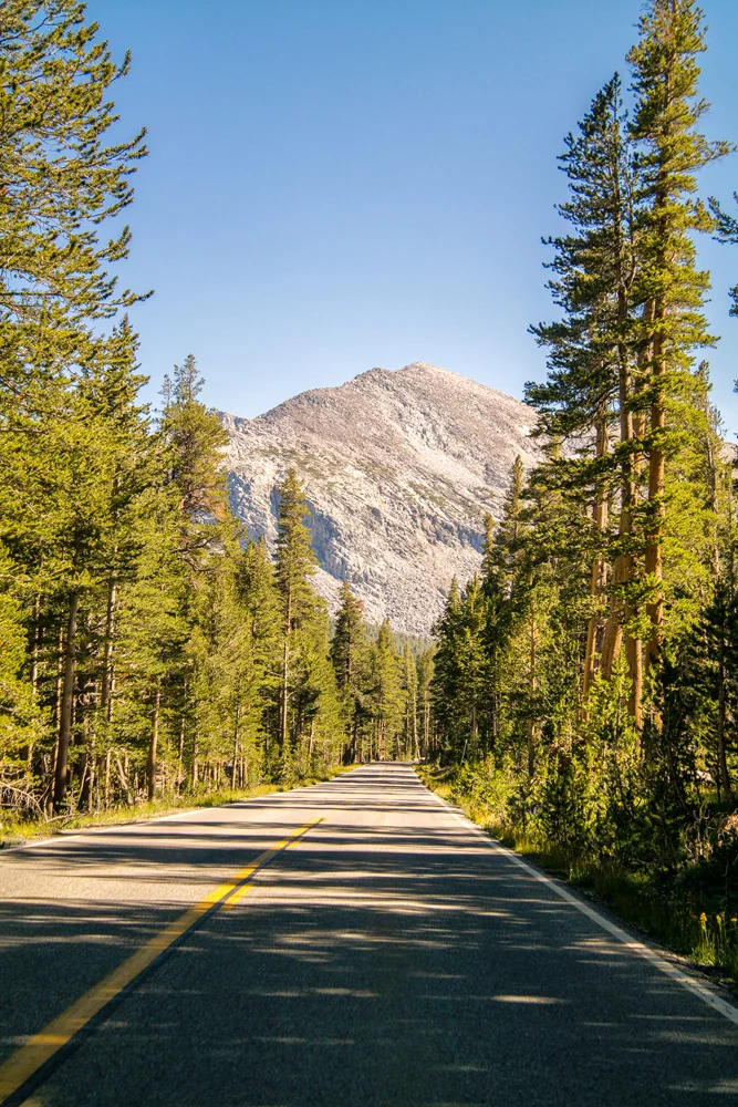
    I pulled onto Tioga Road at about 4pm, with about 4 hours before sunset, which I figured was enough time to at least explore a bit and find a place I was going to call camp for sunset. As I wind my way up and through the Tioga pass from Lee Vining on the Eastern Sierra side, I slowly rolled through the sort of landscape that dreams and fantasies are made of, the kind of place you thought only existed in cartoons and psilocybin – crystal clear sky blue cascading streams and rivers snaking their way through saturated green grasses and tress of various sizes and varieties, flanked by sun soaked rolling hills comprised of rolling granite domes and lodgepole pines.

    As I drove through at about 10 miles per hour, I literally found a tear in my eye – I was in absolute awe of some of the most striking, insanely unreal scenes that would trump a psychedelia-soaked dream. I won’t lie. I was overwhelmed. How the hell was I going to only spend 5 hours here?

    I figured since I only had this afternoon, I’d stop by the visitor center and ask for a few tips. The nice lady was hesitant at first to give out one of her favorite spots and secrets, but after she found out I was a State Park volunteer, she figured she was in safe territory and loudly ‘whispered’ a tip. I thanked her kindly, and went to follow her tip as I made my way around a particular dome. I hiked in for about 35 minutes before realizing I had no flashlight to get back out, and this was bear country, and I was finding myself in a maze that wouldn’t be ‘fun’ to try to scramble out of after dark. While the landscape was absolutely breathtaking as I followed the river through a forested part of the meadow, I had a scene in my mind  and this was taking me away from it. I wasn’t going to be able to get the sunset colors with the snaking stream through the meadow I had envisioned. After a quick glance at the clock, I had to make a decision quick as I was less than an hour from sunset. I hastily decided to hike back out, and head down the road to a more open part of the meadow and just hope I can find something I’d be happy with.

    Tuolumne Meadows, Yosemite National Park, California. Summer 2014.

    I truly felt so overwhelmed, that I was absolutely certain that I wasn’t going to get a shot because I made the fatal mistake of running around looking for the best one, but made peace with it when I just figured I’d come back the next day now that I have a bit of the lay of the land. And I certainly wasn’t going to cry about that. Plus, I may not get the shot I had envisioned, but, I’m in Tuolumne Meadows at sunset, I’m sure as heck not walking out with nothing!

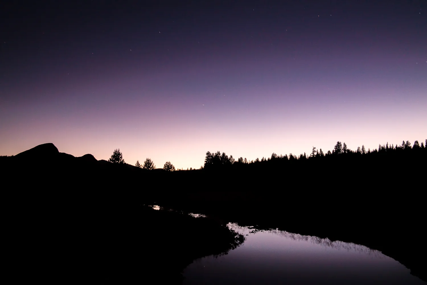
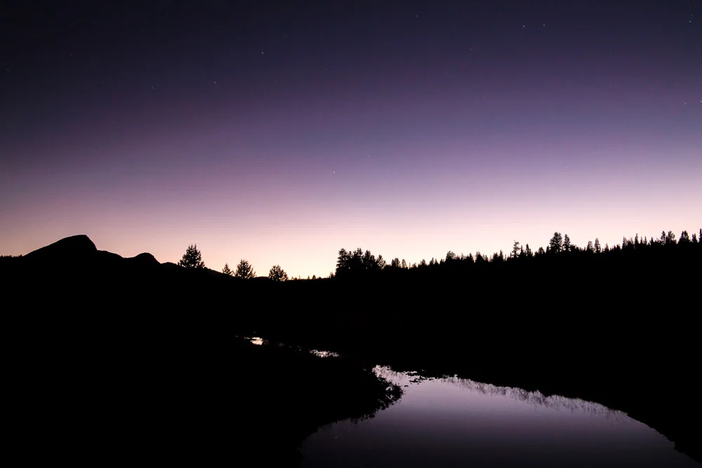
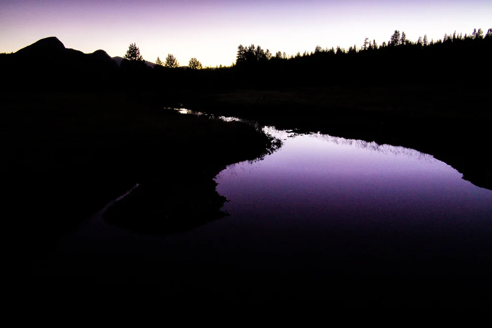
    So I slowed my roll, took a breathe, and decided I was just going to enjoy this one. I hiked into the riverbank, sat on a rock to soak in this paradise, and right at that very moment, is when I found and saw my shots. All within striking distance of where I started walking around like a crazed half-bearded madman. The most surprising was a shot that ended up being one of my favorites, it was well after the sun had set, and I had already packed my gear and was using my phone’s flashlight to find my way back out to the road. That’s when I ran across the purple twilight light reflecting in a small pond and playing with the shadows of the landscape just off the path. I had to do it – I pulled out my gear, set up, and spent about another 30 minutes after dark playing right there in that area.

    Twilight Over Tuolumne, Tuolumne Meadows, Yosemite National Park, California. Summer 2014.

    So here’s a bit of a gallery of my favorite images from that afternoon, all of which were shot on a Samsung NX30 using a Samsung 18-200mm lens.

    For Part 3, Mono Lake, click here.

    And in case you missed A Surprise Journey Through The Range Of Light – Part 1 – Mammoth Lakes, click here.

    And for more of my madness: Instagram: @wasimofnazareth Twitter: @wasimofnazareth Google+: www.Google.com/+WasimMuklashy Facebook: www.Facebook.com/WasimOfNazareth